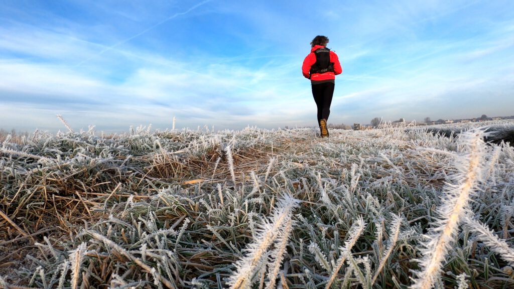
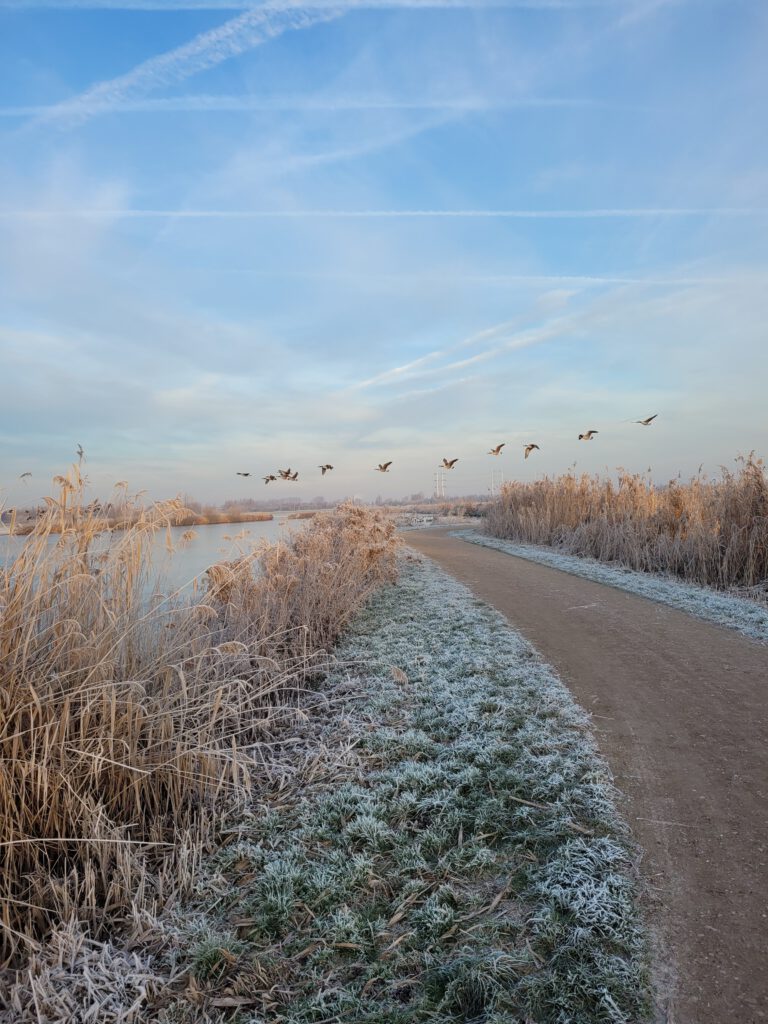
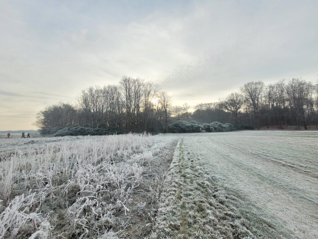
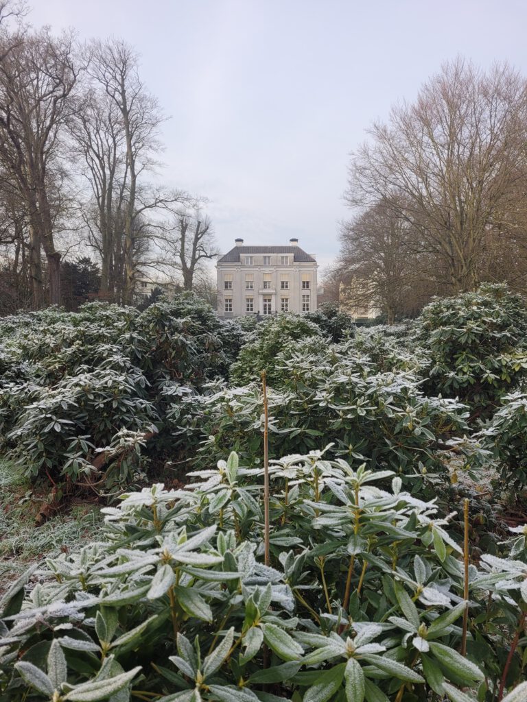
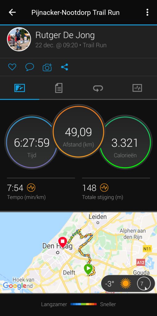
When it's just freezing and the ice crystals bring the world into a Christmas atmosphere on your first day of holiday, you have to get out and about. 49 km from home to The Hague Central Station over gravel and sandy paths.
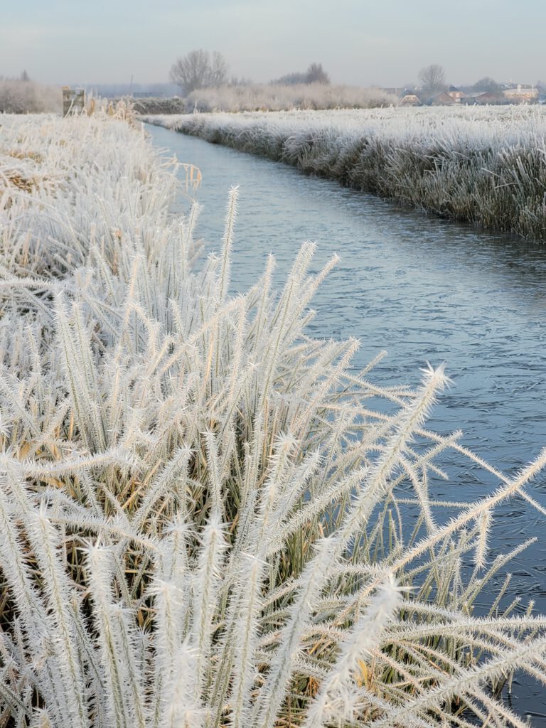
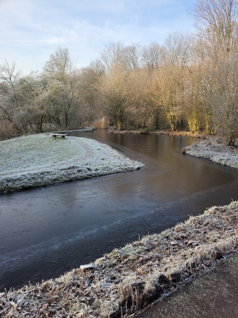
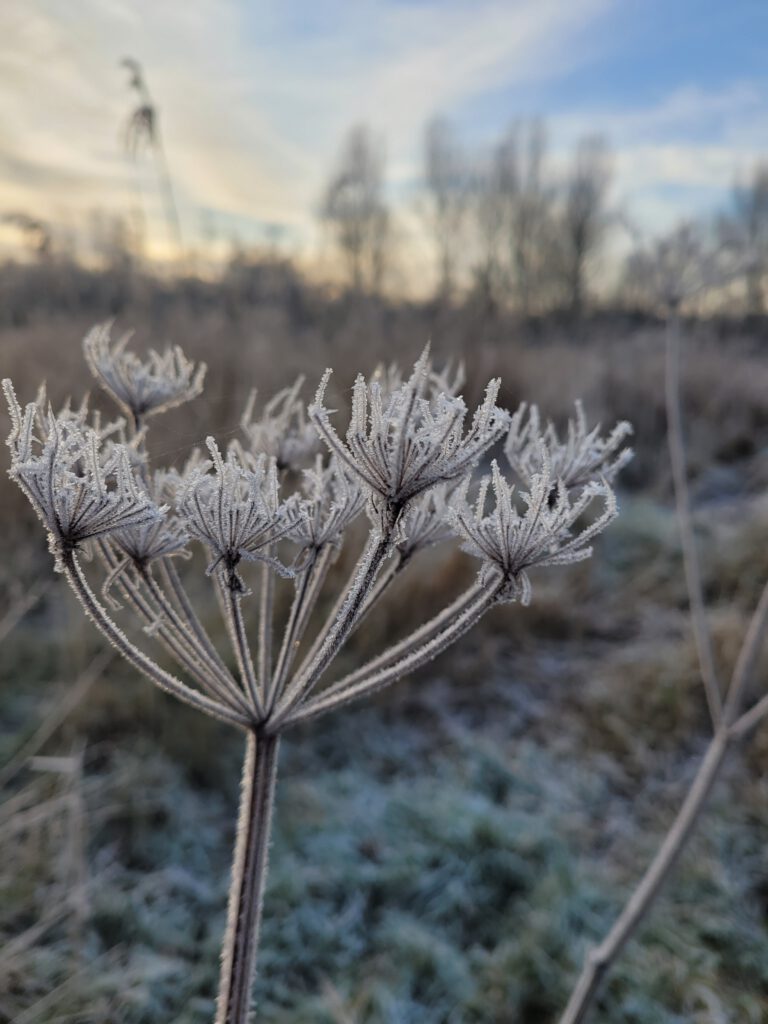
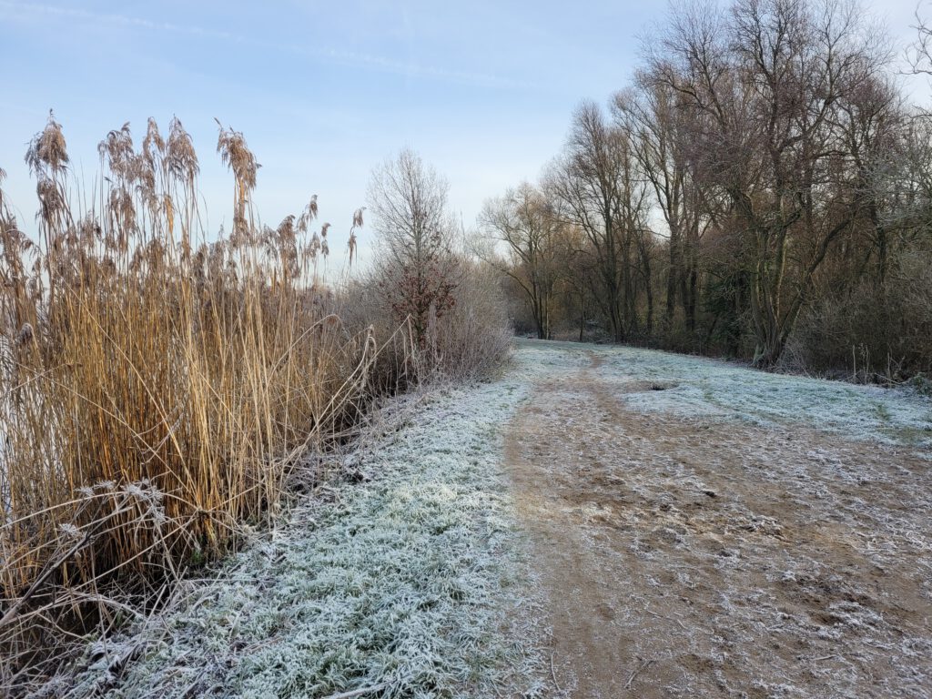
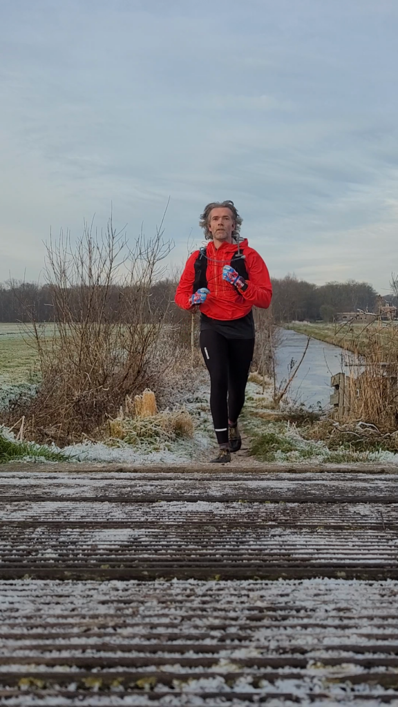
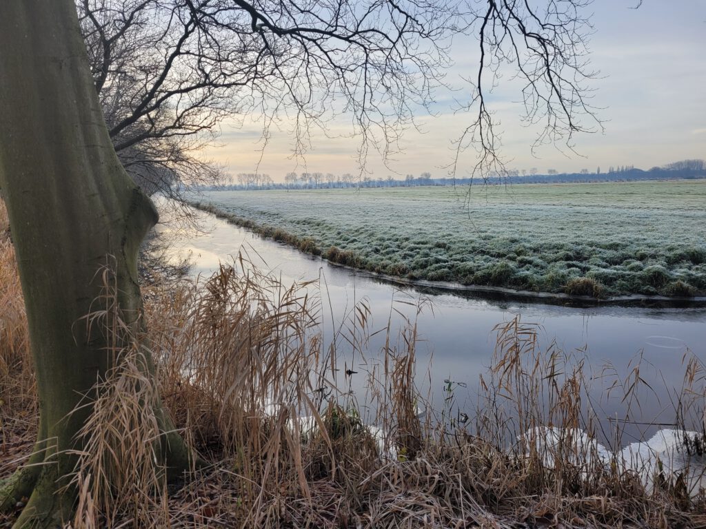
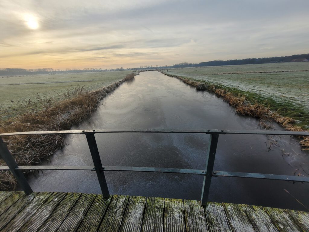
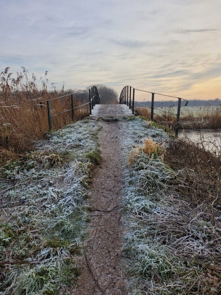
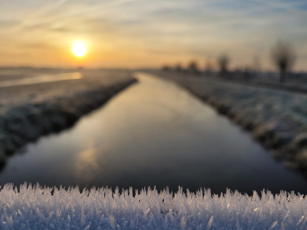
The first day of the Christmas holidays, normally one of those days when you buy the last presents, do the shopping and maybe go on a last trip before the schools have the day off too. But unfortunately, this year it is different: because of the lockdown, there is nothing to do, picking out gifts in the shop is not possible and ordering now is too late. Fortunately, nature did have a little free gift: it was beautiful winter weather and all the branches and blades of grass were covered in a layer of ice crystals. Then you just have to go for a run.
I have walked several stages of the Coastal Path in recent weeks. But by now I had reached Anna Paulowna, and that is quite a distance away on a Wednesday (no free travel, unlike in the weekend). There was also a good chance that I would have to miss the ice world. During the day, the temperature was around or just above freezing. After sunrise, everything could melt very quickly. In the end, I decided to set up a route with Komoot, where I could start early and take in as much unpaved roads as possible.
Groenzoom
If you are starting from home, it is only natural that you already know a large part of the route by heart. But even those parts are now particularly beautiful and ask for photographs. And even though I walk the Groenzoom two or three times a week, there are still parts of it that I seldom or never see.
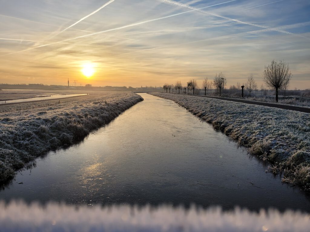
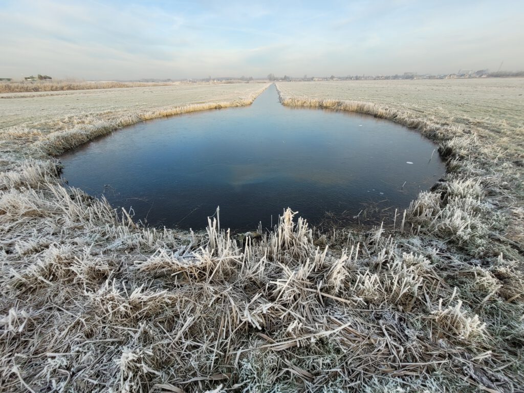
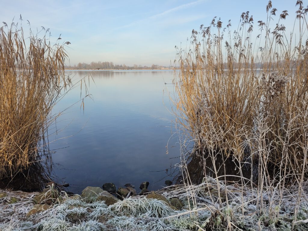
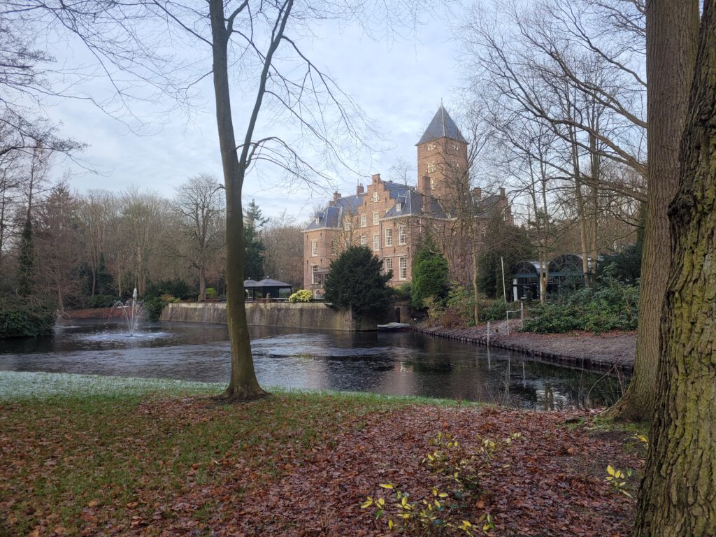
After about 5 km, for example, I came to a meadow that is normally just a bit too far, but which I could now dredge up. And in the park landscape around Pijnacker, you then suddenly find a perfectly round pond, connected to a ditch: just the right crib for a Christmas landscape photo. Not for nothing was one of the caretakers of the Groenzoom taking photos for the social media at that spot.
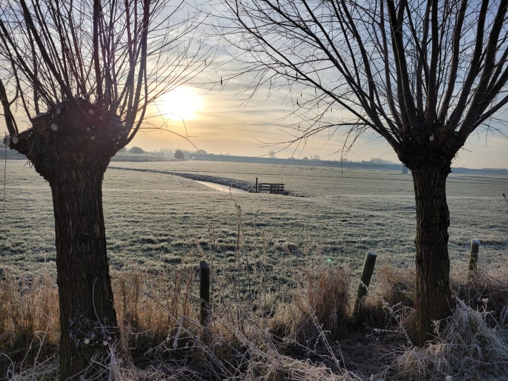
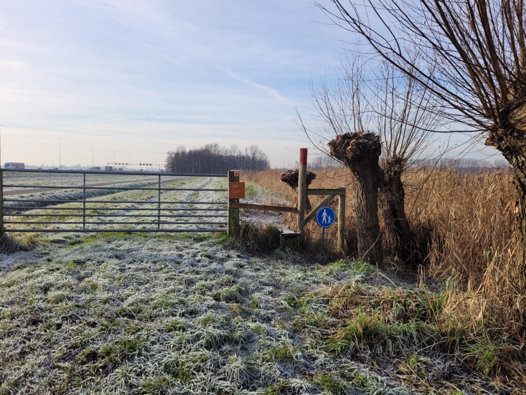
Those who know the area a little will probably also be surprised about my route. I have managed to keep the number of kilometres of asphalt to an absolute minimum. Even in the busy Randstad area, there are often clay paths through parks like the Groenzoom. Or you can walk across polder dykes and meadows through the grass, often accompanied by sheep. And occasionally, there is a forest where you find real mud. All in all, I managed to do 85-90 per cent unpaved on the route.
GoProblems
What could be more fun than walking pictures in an ice world? Of course, the Gopro was along for the ride. But lately, it has not been very helpful. The camera has already jammed unexpectedly a number of times. Then you can't start it up again without a power source nearby. In this case, unfortunately, it happened halfway through the first images, still in the Green Zoom. If anyone has a solution for this problem, please let me know. Unfortunately, the camera is a bit too expensive and new to replace.
After a short distance through the Balijbos, I continued in the Westerpark. Here too, it is true: no matter how close Zoetermeer is, I had never actually walked there before. And here too, there are very nice spots in the park. Even without ice, which is already starting to melt considerably in the sun.
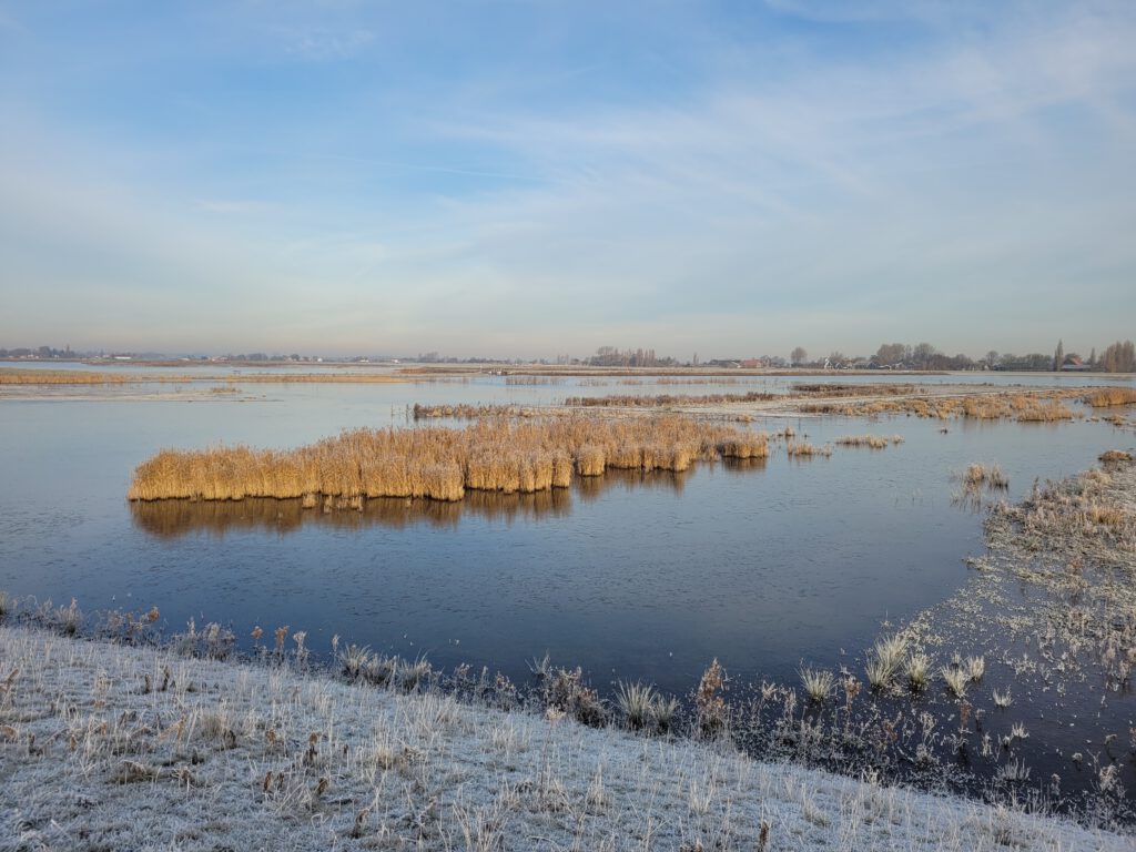
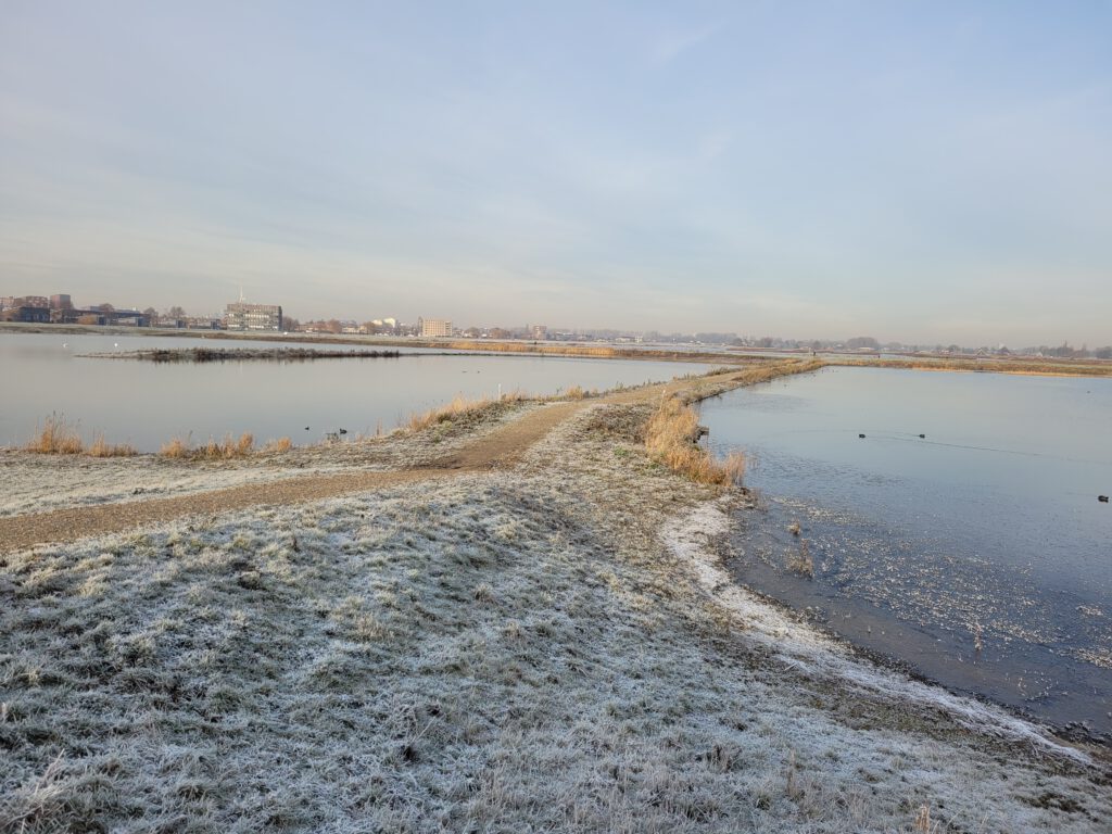
The area near the Driemanspolder is a bit more boring. This is still a developing area, which, although aimed at attracting water birds, is not very challenging for people. Large areas of grassland next to a lake, with a view of the ski hill, is a somewhat mean description. However, the small dykes are fine and the stretch of road in the water near the Glazenmakerspad (on Google Maps, this is still pasture) is surprisingly beautiful.
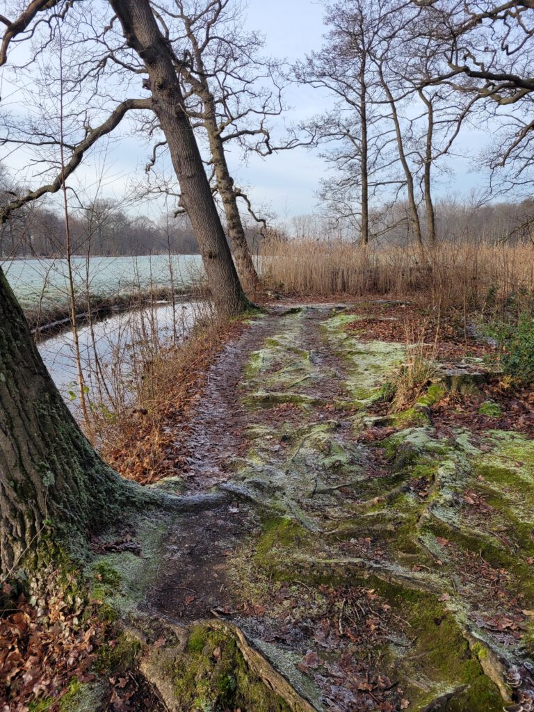
After Leidschendam, I came to an area that I often visit by bicycle in the summer: Vlietland. Actually, I feared a long stretch of tarmac here, but in reality there is a lot of grassland to walk over. First again on a small dike, later next to the reed near the lake. In the summer, this would also be an ideal piece to walk.
Estates Route
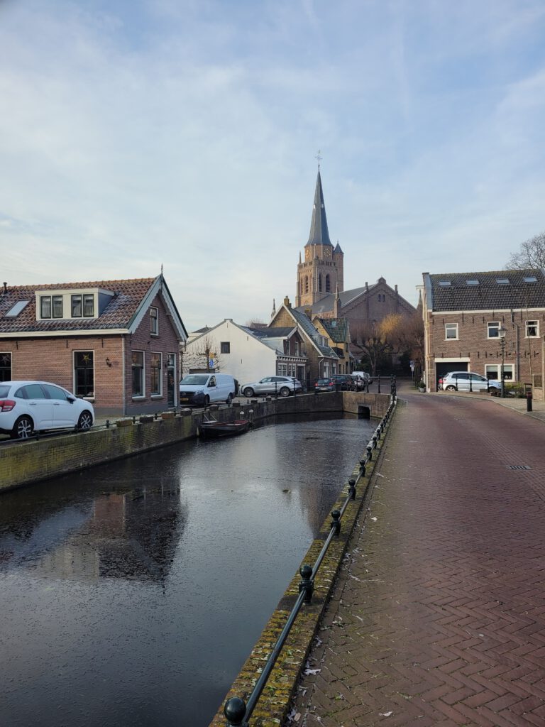
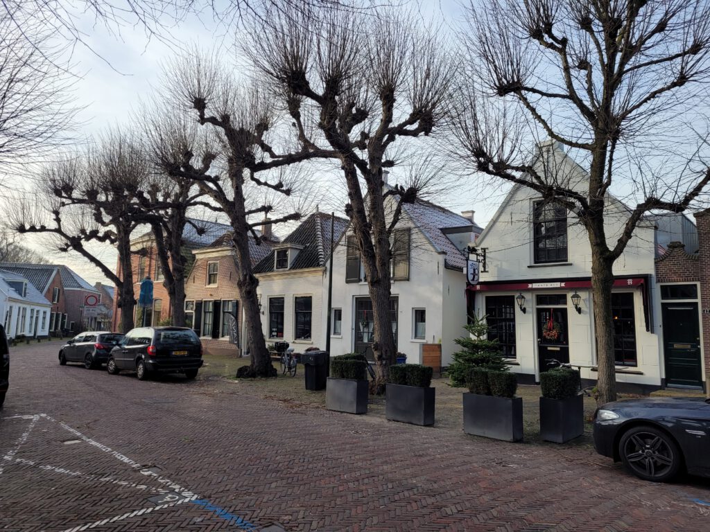
After Vlietland, I first followed a stretch straight through Voorschoten before continuing on unpaved roads. This is perhaps the least natural part of the route. Although the village centre certainly has its charms.
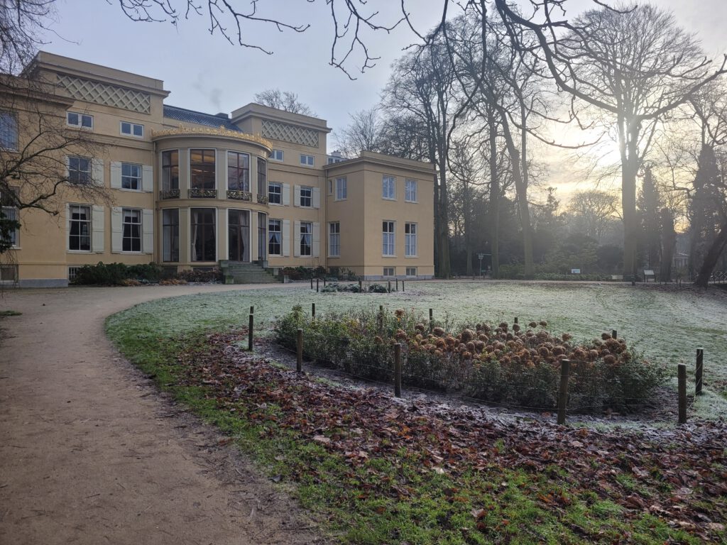
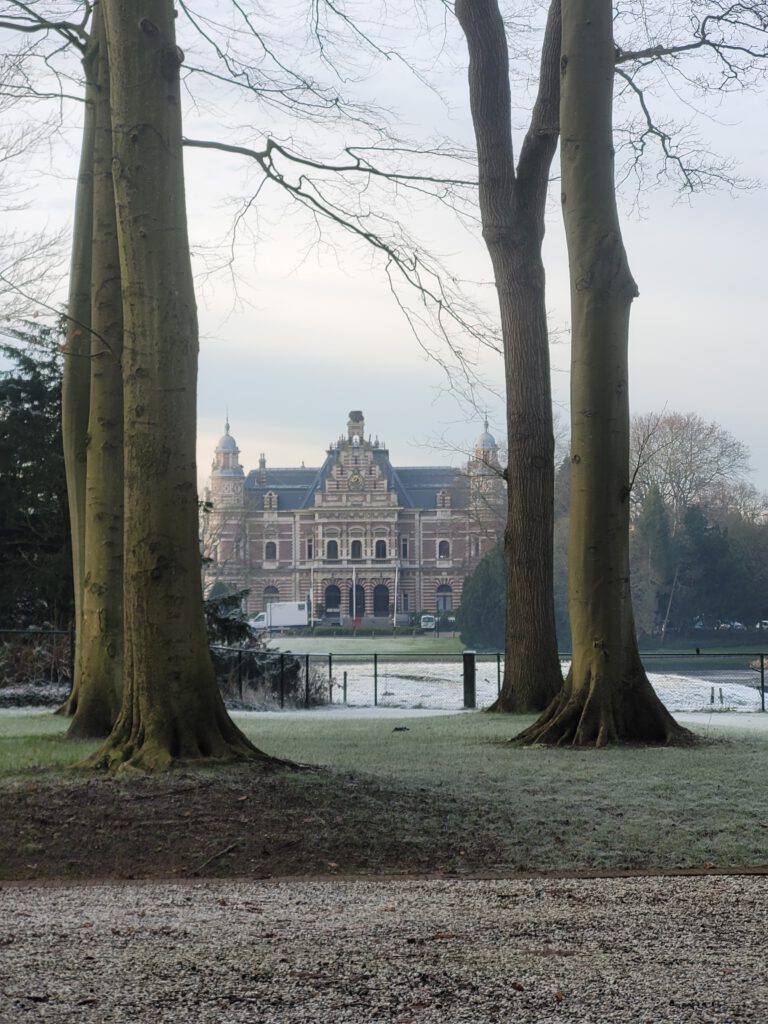
However, one of the destinations I wanted to visit was close by: De Horsten estate. Although my parents regularly talked about the estate, I had never been there before.
Our current king also lived in De Horsten for some time, before moving to Huis ten Bosch (a bit further down the road near the end of my route). Fortunately for me, Willem-Alexander's penny jar did not work: since July 2021, the park can be visited for free.
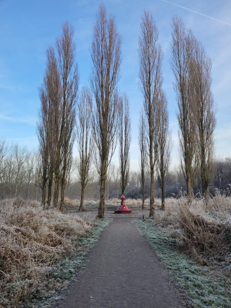
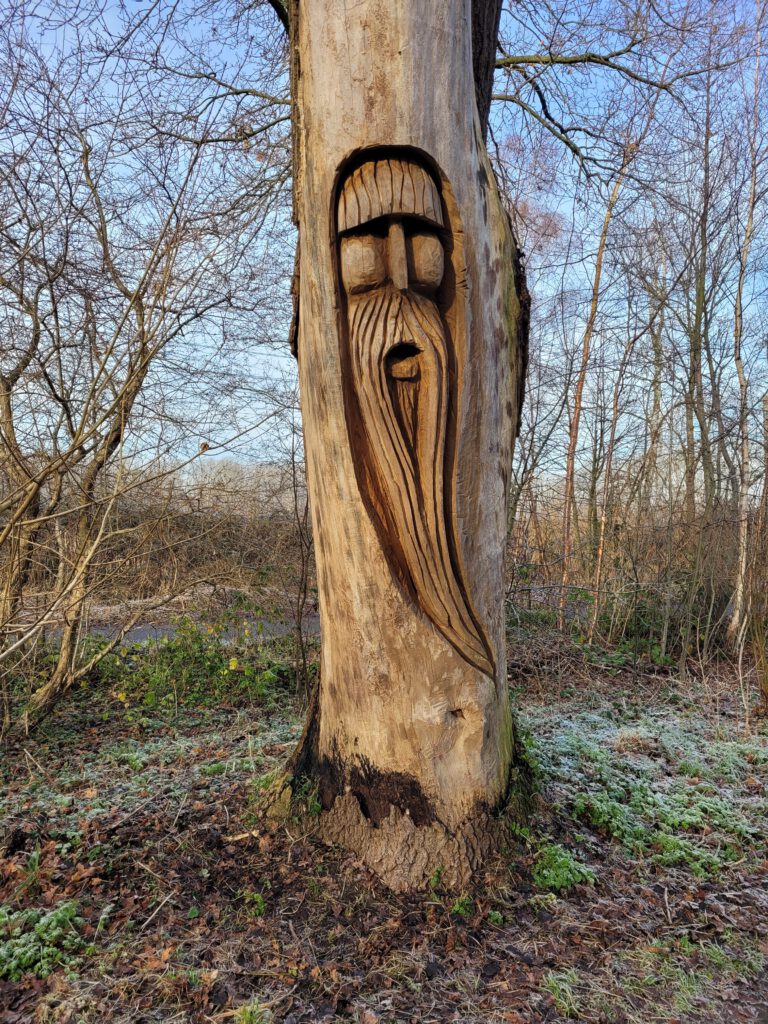
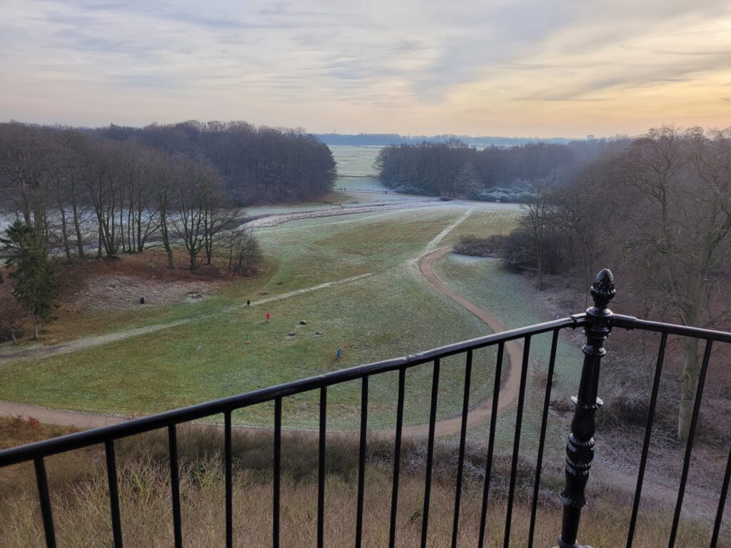
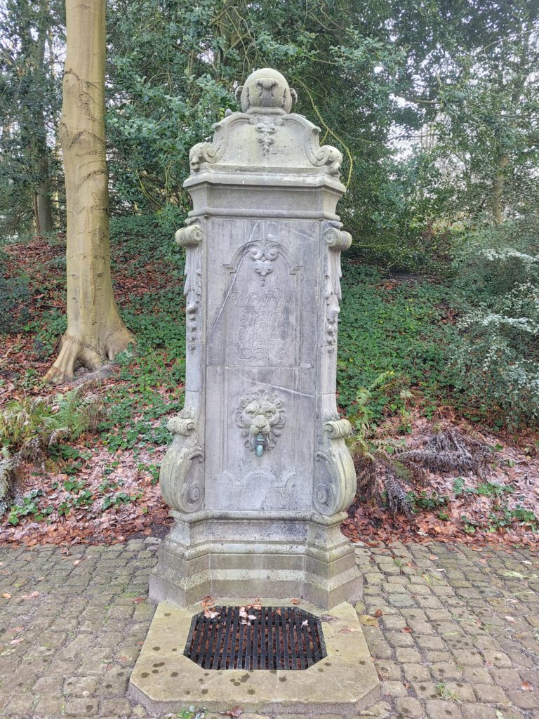
I can certainly recommend that visit. De Horsten has beautiful tree lanes, single tracks, bridges made of planks, an abundance of rhododendron, a teahouse and a watchtower to oversee the whole thing.
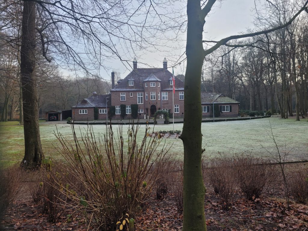
After De Horsten, I was still a long way from the beautiful country houses. I crossed directly into Wassenaar and soon found myself on the official Landgoederenroute. This runs along all the large country houses and castles between Wassenaar and The Hague. A surprising route, where I might have planned a bit more forest here and there. (In planning it, I partly followed the long-distance footpaths).
The Hague Central
What struck me during this run was the ease with which I ran again. Despite the fact that I had also run about 45 km on Saturday. This time I was just lucky: there were few problems with food. I took it easy in terms of pace and took a lot of pictures. Didn't have to rush, like Saturday, because I didn't have to miss the first hours of sunlight because of the journey to the starting point. The short metro ride back home was also a relief.
A bit of a runner would probably be tempted to continue to the 50.0 km if things were going so well. For me, however, it is all about the fun. With the Haagse Bos partly under construction, that extra kilometre is not even a nice option.
For walking, the relative effortlessness is wonderful, for writing a report it can sometimes be a bit boring. This year, I have a bit less of a connection with the blog anyway. What it is exactly, I do not know. There are enough adventures, enough things to discover. But still, I haven't put anything on paper about a lot of walking. Not about my chi walking course. Not of the now almost completed Coastal Path. I don't know how much longer I will continue with the blog. Sharing my adventures – mainly via Facebook – is becoming increasingly difficult due to group rules. And to be honest, I am the social media-opinions a bit tired. For now, I will stop with the semi-automatic translation. There is too little demand for it, it is relatively time-consuming and the translation plugins are quite expensive.
Zoals op FB al gezegd geniet ik altijd van je verslagen, doorgaan alsjeblieft!
Ik zou ook wel eens wat meer willen weten hoe je dat nu doet, zo’n route plannen. Verder dan ergens een gpx vandaan plukken ben ik nooit gekomen. Welke tools gebruik je ervoor. Hoe gebruik je die, wat zijn de valkuilen. Op wat voor apparaat doe je de planning. Etc.
Bestaan er online cursussen hier over?
Voor het plannen zelf maak ik meestal gebruik van komoot, daarop kan ik ook zien wat de ondergrond is, of gebieden mogelijk ontoegankelijk zijn en of er grote wandelpaden in de buurt zijn. Ik zal eens kijken of ik daar iets meer over kan vertellen. In ieder geval zijn er wel cursussen van onder meer MST en bij Chris van trailrunning.eu. En als je vervolgens een leuk punt tegenkomt in het echt, dan pak je dat mee (heuvels die niet op de originele route staan, uitkijkpunten, etc.).