A look across the border on the toughest stage of the route: 40 km and 800 hm. But how is Mr. Dröge (are you alright?) doing?
5:45 am: the alarm clock. Unfortunately I was awake a long time before that. Not because the bed is not good, but that bruise on my ribcage was more painful at night than during running. When I turn, I always raise my torso first and that gives me stabbing pains now. I now have tp hold my chest and have to lift the right side up first; it's the only solution. Well done Rutger... though in reality I'm already happy that I can run without any problems.
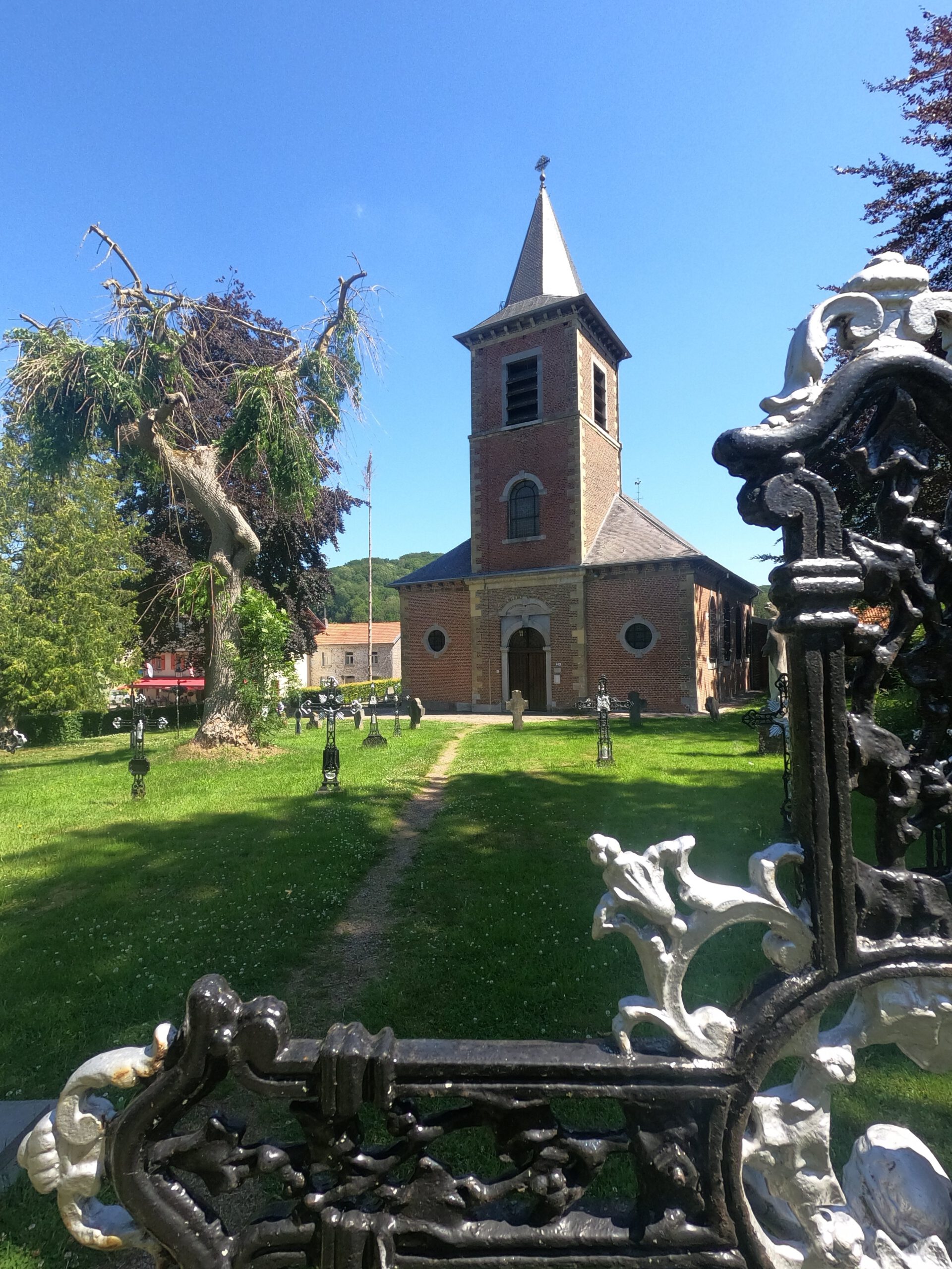
The fact that I had to get up even earlier for this longest stage had mainly to do with transport. To start in Slenaken, where the actual stage 3 of the Krijtlandpad starts, I had to have two buses. And in order to make it before the rush hour, I needed to be around 6.45 at the bus stop. At that time there was only one other passenger. It felt a bit strange to get off so early in a small town with a big church, where there is nothing to do besides tourism.
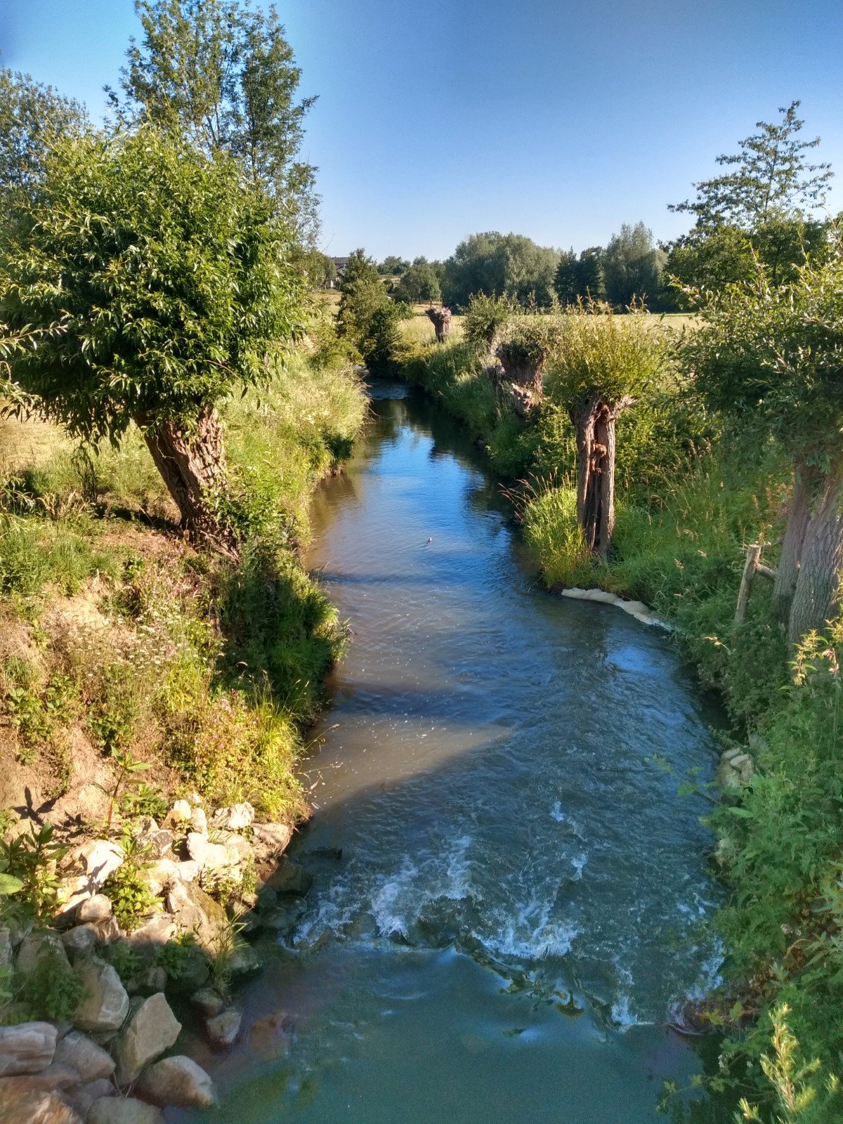
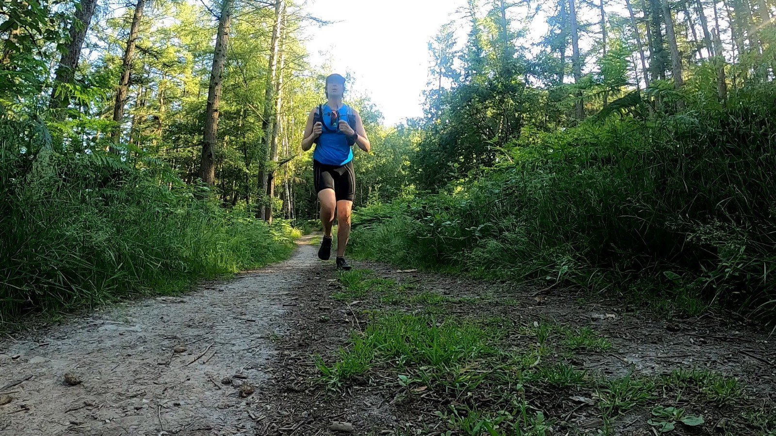
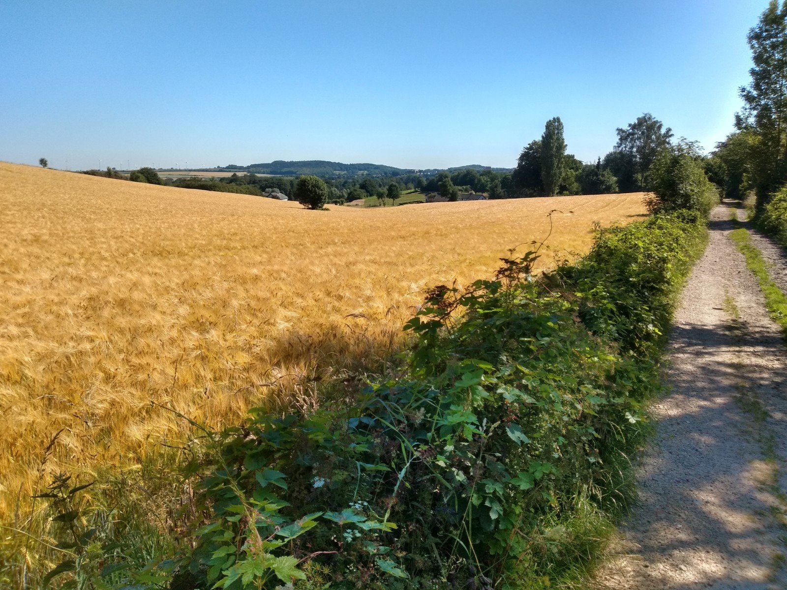
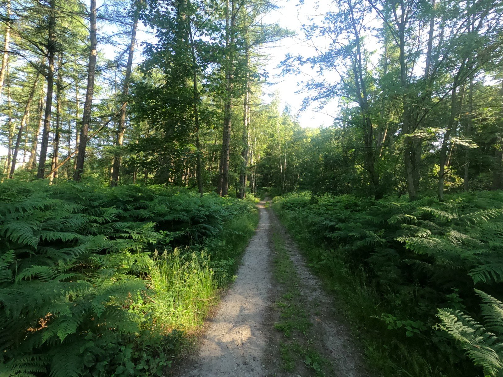
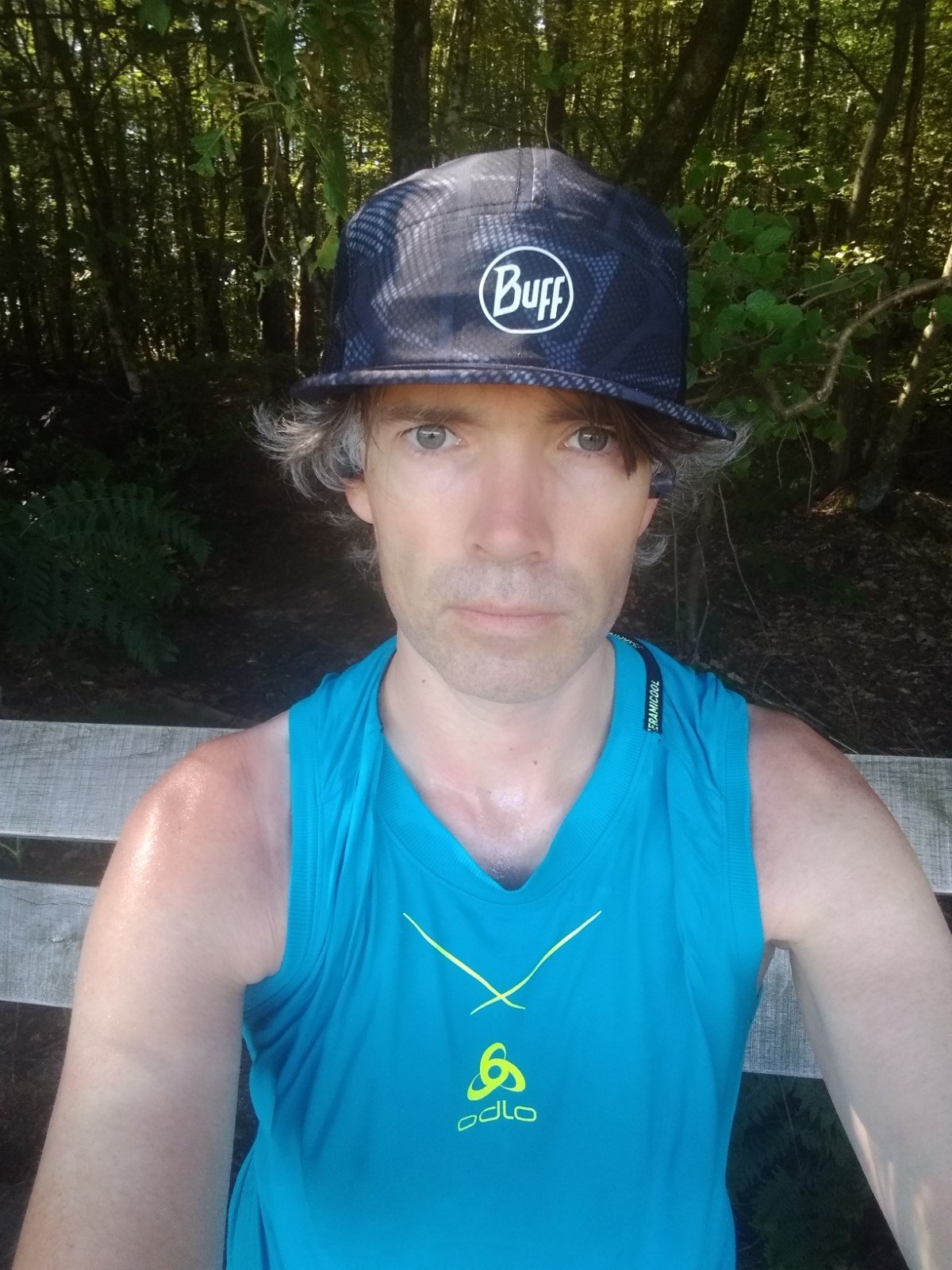
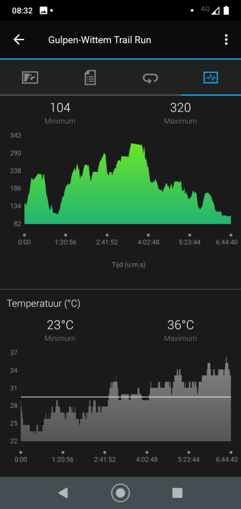
Despite the early start it was still a lot warmer this Friday than on Thursday. Around half past seven it was already 23 °C and the temperature rose to 36 °C at the end of the route. Still I was a bit lucky: where the first day was mainly along the river and through open plains, this stage was mainly in the forest. So no burning sun. But a lot of fussing around with sunglasses, taking them on and off to see in the woods and in the fields.
Superior
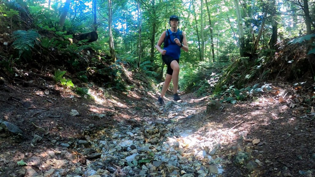
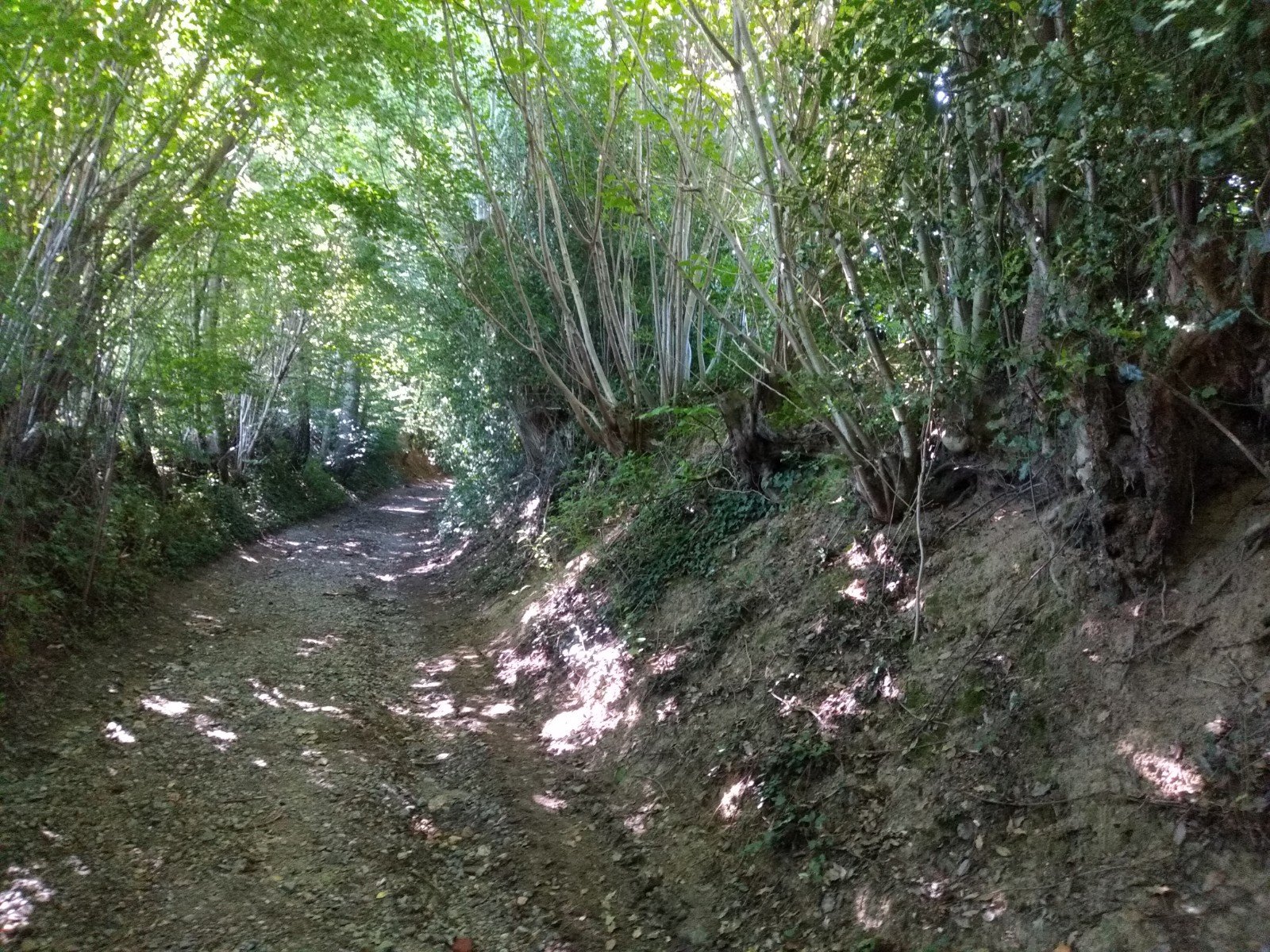
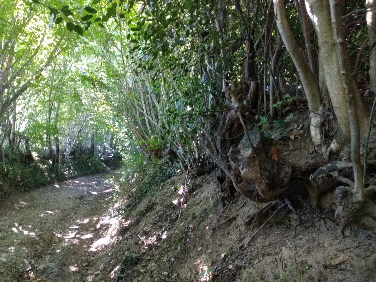
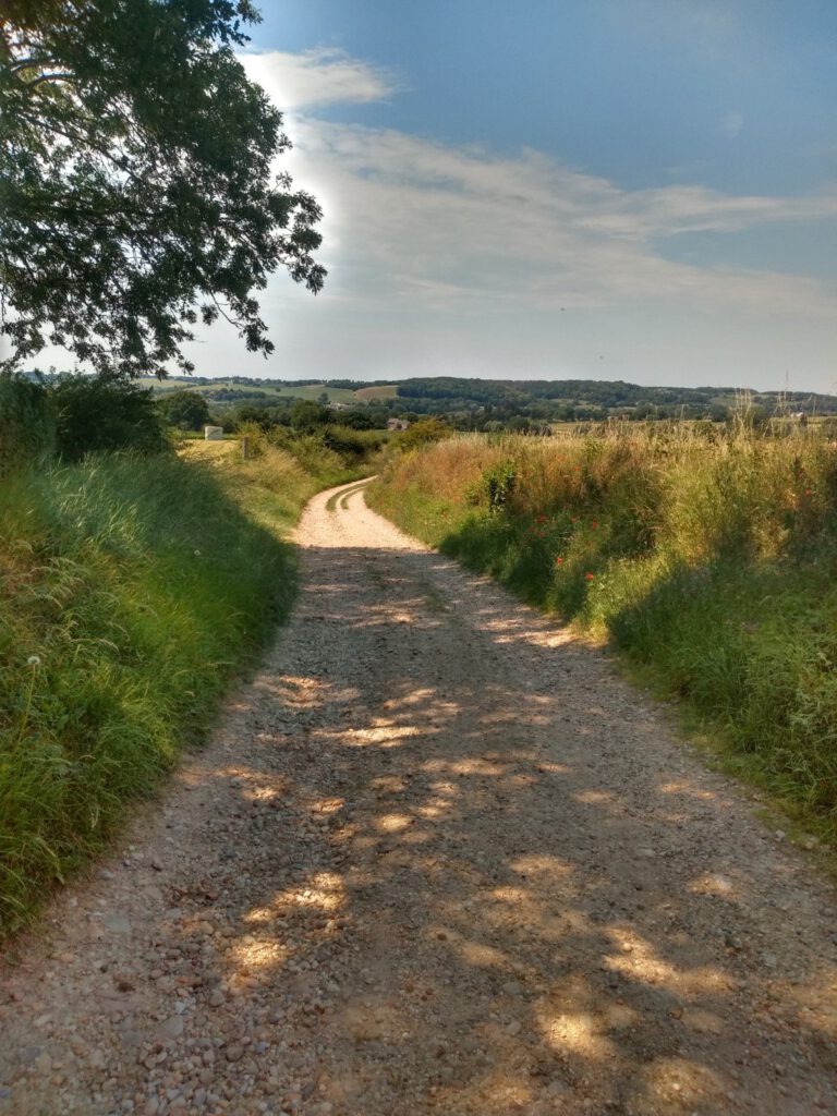
Up till now, the route hadn't been technically challenging anywhere. As in difficult climbs, descents over gravel, ascents over cliffs. The trail was probably designed in such a way that the hiker could go in a reasonably straight line between villages. But for me that meant that there were quite a few kilometers of asphalt, many loam paths with big stones and here and there an earthen path. The toughest part of the route was streambeds that are very uneven, with sharp descents where you can easily stumble over big stones.
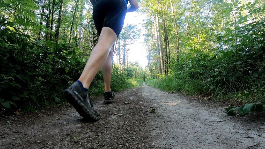
The different undergrounds often make it difficult to choose the right shoe; there are few shoes that run well on all terrain. For the King MT 2 the surface was actually too easy. For the Superior, a lot of asphalt was a problem, at least that was what I thought beforehand. And for the Escalante Racer the stones would wear the shoes down quickly and could become painful for the feet.
Usually I run in my Superior 4.0 with the Stoneguard rockplate insert in it. When I walked a lot of kilometres in them during the Meijendel run (at least 15 out of 25) I felt the threads pushing hard in the soles of my feet. In my new pair I hadn't placed the inserts yet because you first have to cut them to size yourself and I was being lazy.
According to some reviewers, these rockplate inserts do little. But I really have to contradict that. With insert the shoe is a bit stiffer, ideal for when you walk a lot on stones. Your foot doesn't squeeze so much towards the uneven surface and that prevents foot injuries and blisters by the ball of the shoe between the stones. Visualize what happens when half of your foot rests on a stone and you push the other half of your foot to the ground which is 5 cm lower. Your foot will get a kind of bowl shape and the pressure points will change. A rockplate ensures that you have a slightly bending plank from stone to ground, so that this bowl does not form. The higher and sharper the protrusion, the more useful the rockplate is.
The downside of the inserts is mainly the earlier mentioned stiffer feeling, which makes you feel the threads (you walk on a plank so you have more of the same load at the same pressure points). Because of the omission of the insert, the Superior felt like it was on steroids unsteroidal . For this run it was just the right mix of stiffness – a little more protection due to the higher threads and a more solid construction as compared to a road shoe – and comfort. As if it was a child of the Escalante Racer and the Lone Peak. In the end I also wore the shoes all three days instead of alternating with the King MT.
Hamilton
The temperature in the forest was pleasant in itself. But the weather was still very sweaty. Already after one kilometre my old Odlo Ceramicool shirt had become a kind of sponge. The lens of the GoPro also suffered a lot from it: the sweat couldn't be wiped off and that's pretty disastrous for GoPro photos. As if you brought David Hamilton along, who doesn't realize that dreamy soft focus photos fit nudes, but not nature.
The fact that I only met a few people along the way wasn't really surprising. I had the beautiful old tree tunnels all to myself. Even though the Krijtlandpad usually seems to be a rather busy route. For me it was really soothing. Climbing the hills at ease and not having to feel the shame of having to stop or walk.
Unfortunately there were plenty of those stops again. I had reduced the insulin a bit, but the only result was starting high – not nice– and almost immediately after that the blood sugars were continuously around 4-5 mmol/l. It was time for a more rigorous solution on the last stage. Along the way I started to calculate what all those hypos cost in sports nutrition. On day 1 I had used 3 Ucan (3,74 Euro each), 2 sports drinks (circa 1 Euro each), 3 nougat (72 cents each), about 3 gels (2 Euro each) and half a bag of power shots (1,75 Euro). For 22,25 euros I can get something much more tasty in Gulpen... Not to mention loss of time and fatigue caused by the low blood sugars.
Most boring attraction
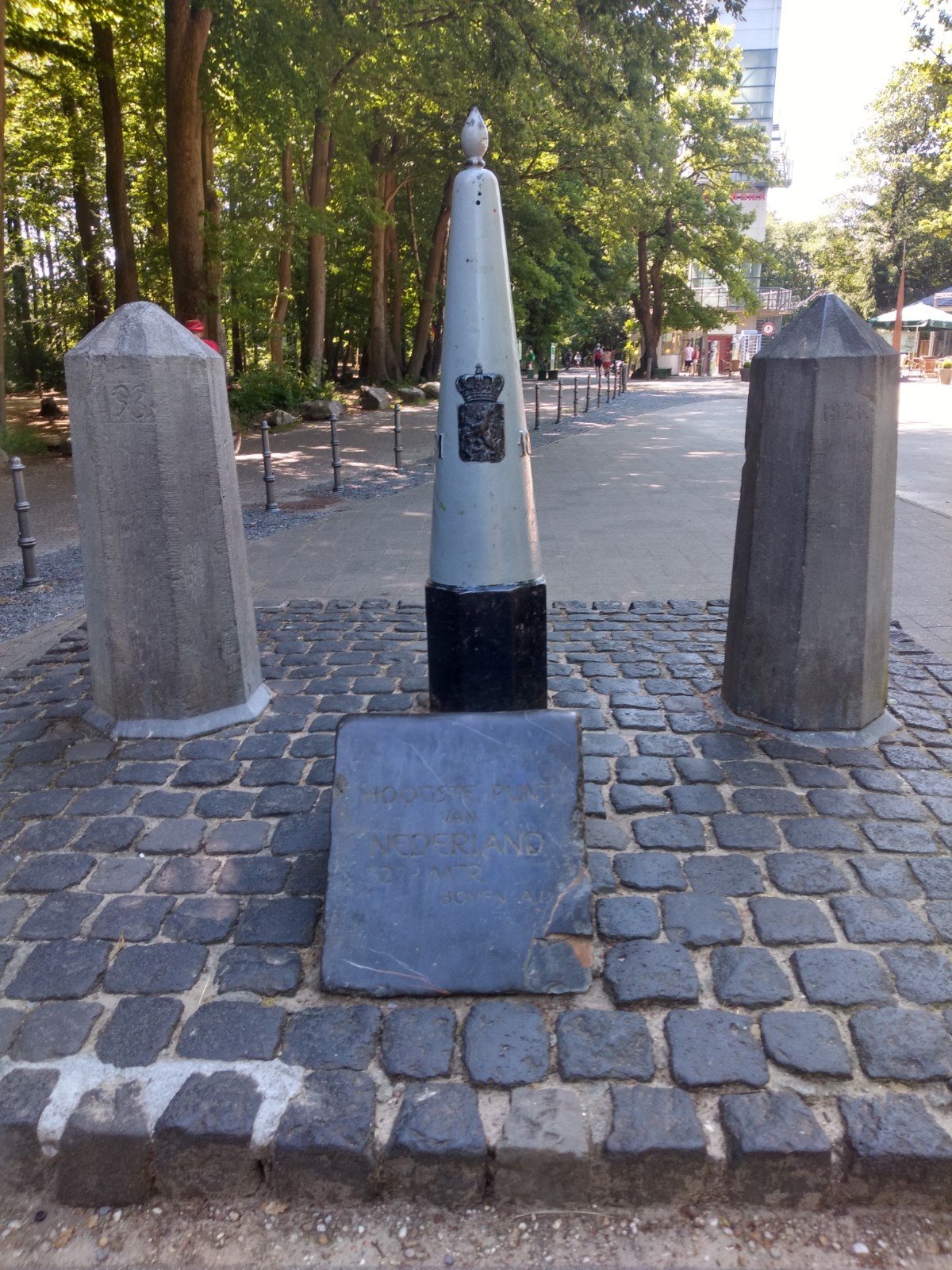
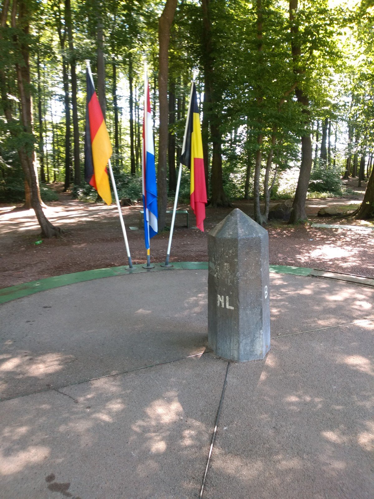
The roads in the forest rose and fell continuously: onwards to the highest point of the Netherlands on the Vaalserberg. The halfway point had already passed. But still no sign of this highest point and the adjacent three-country point. Admittedly, the number of campsites and thus also hikers increased, so I had to be close. But you can't hide an attraction that attracts a million visitors each year that easily, can you?
Anyway: after I turned a corner, suddenly I was standing in front of a terrace. To my right a not very high tower. In the distance a couple of boundary posts and some flags. But I would have passed it just as easily. If there hadn't been a labyrinth and extra attractions, this would probably have been the most boring attraction of the Netherlands, Belgium and Germany. Fully interchangeable with the centre of the Netherlands in Lunteren.
Next to me there were some cyclists. And children in the playground. Luckily the catering was open, because with this heat, now above 30 °C, an ice cream went in. I even started to doubt if the 4 liters of liquid I took with me would be enough today.
Vaals itself did look beautiful and rich. Due to the presence of zinc veins and a textile industry, Vaals was a real industrial town for a while, until it ended up in a remote corner of the kingdom after the Belgian secession. Tourism and country houses for the rich from nearby Maastricht and Aachen gave the area a new dynamic as a gambling paradise since the 19th century until gambling was banned in 1907. Now it is mainly a commuter city.
Stegelke
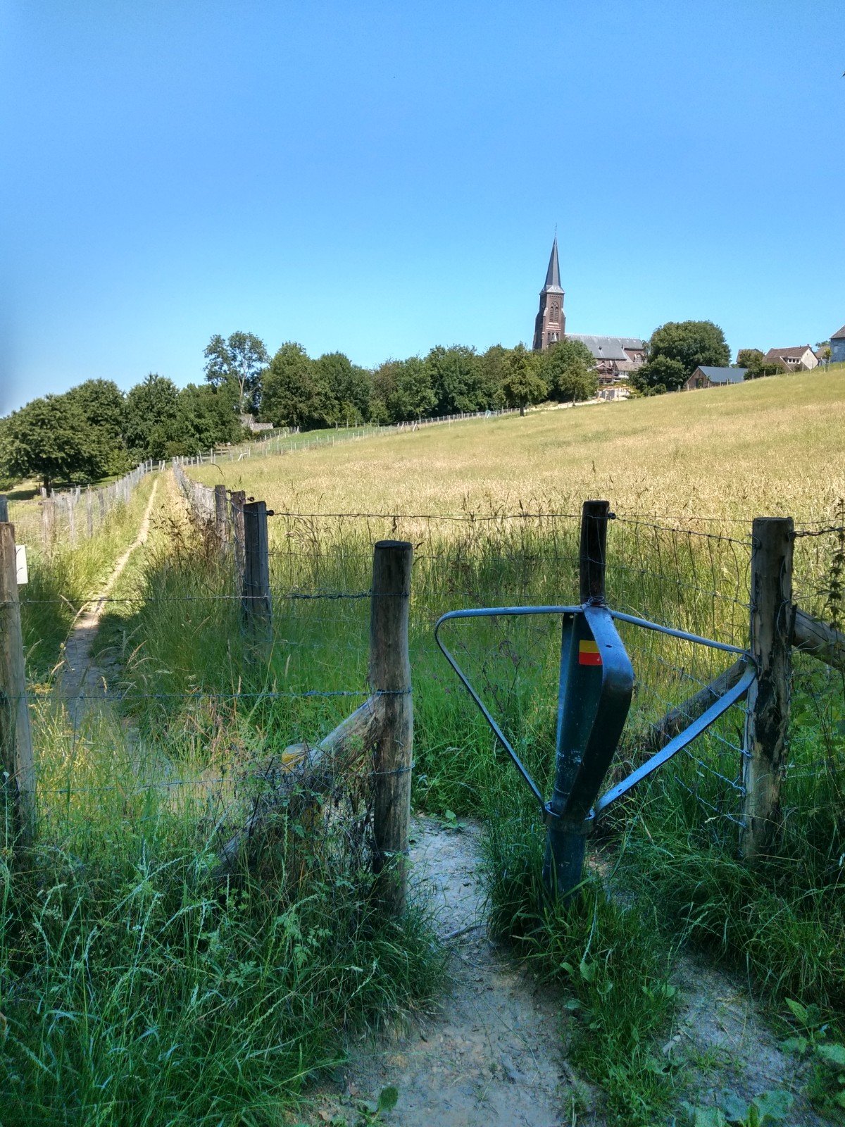
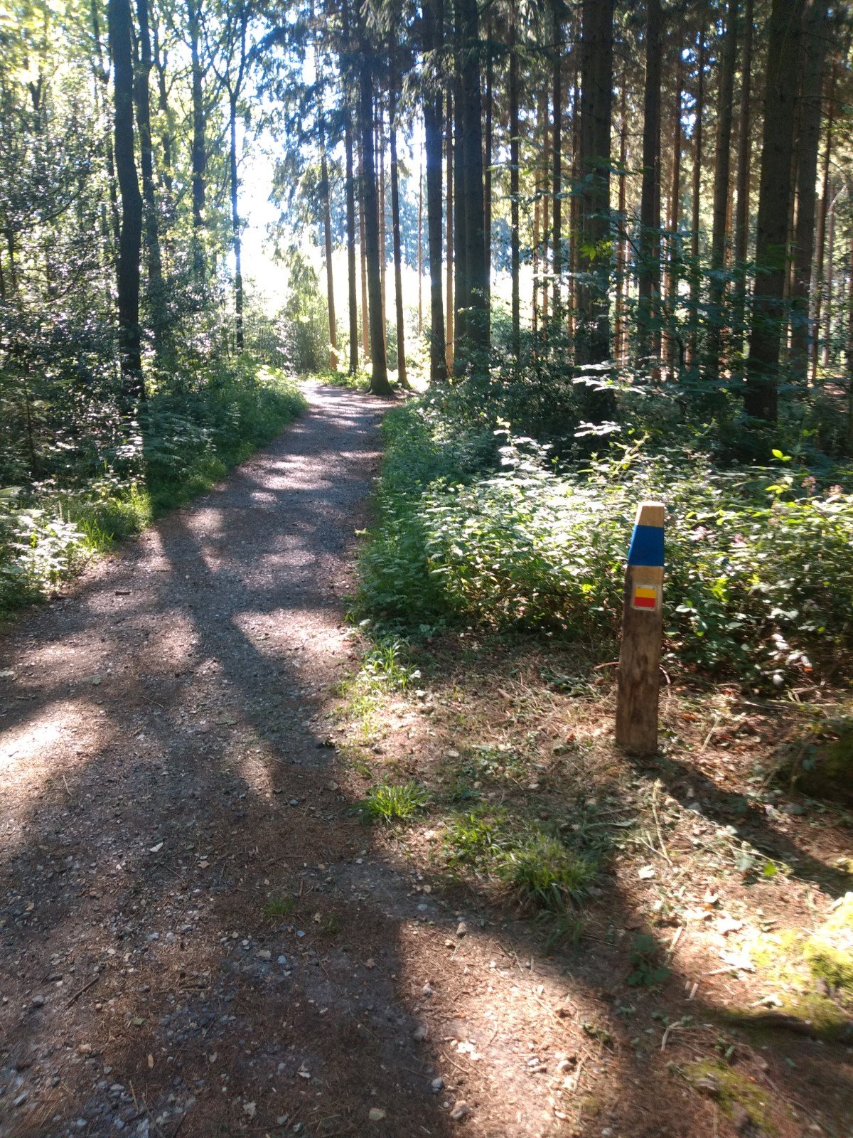
What will stay with me from walking through the Krijtlandpad are the many stegelkes, or tourniquets. At almost every narrow path between the meadows there is one with the red-yellow stripes of the route. Often the gates are a bit functionless, because the fence next to them is missing, but sometimes you have to turn the hot metal. It gave a rural and familiar feeling every time I passed one.
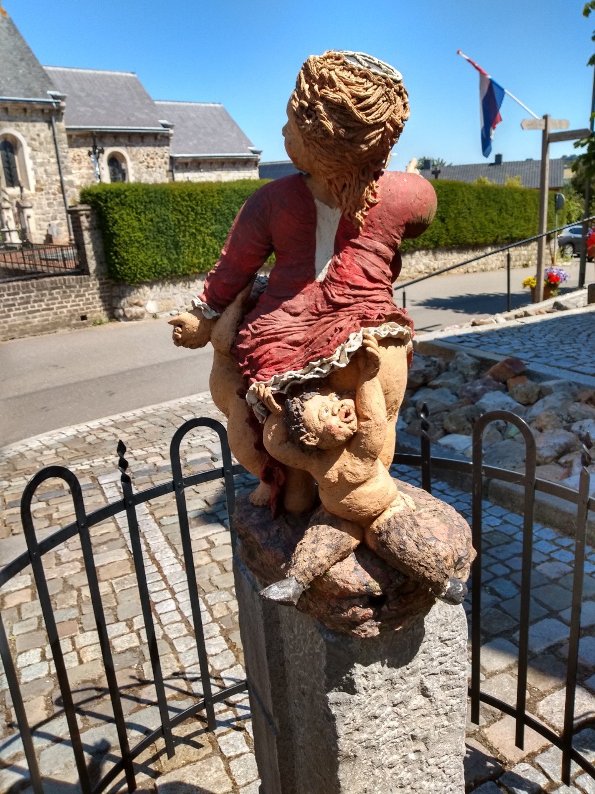
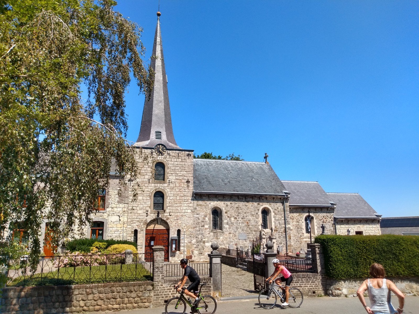
From afar I saw the church of Vijlen approaching between the turnstiles. Another highlight on the route, because Vijlen is the highest village in the Netherlands at 254 m NAP.
As elsewhere, Vijlen has many small streams crossing the landscape. I was actually hoping to have a nice water crossing somewhere. Also for tractors and road traffic these so called 'voorden' exist in the area. But the heat and the lack of rain reduced my chances of crossing the water considerably. In the end I was able to get two wet feet on a miniature stream through the road. Admittedly, a small step had been created so you did not need to go through the water, but the cooling of the feet was certainly welcome. At the end of the street ny shoes were already dry.
Wittem
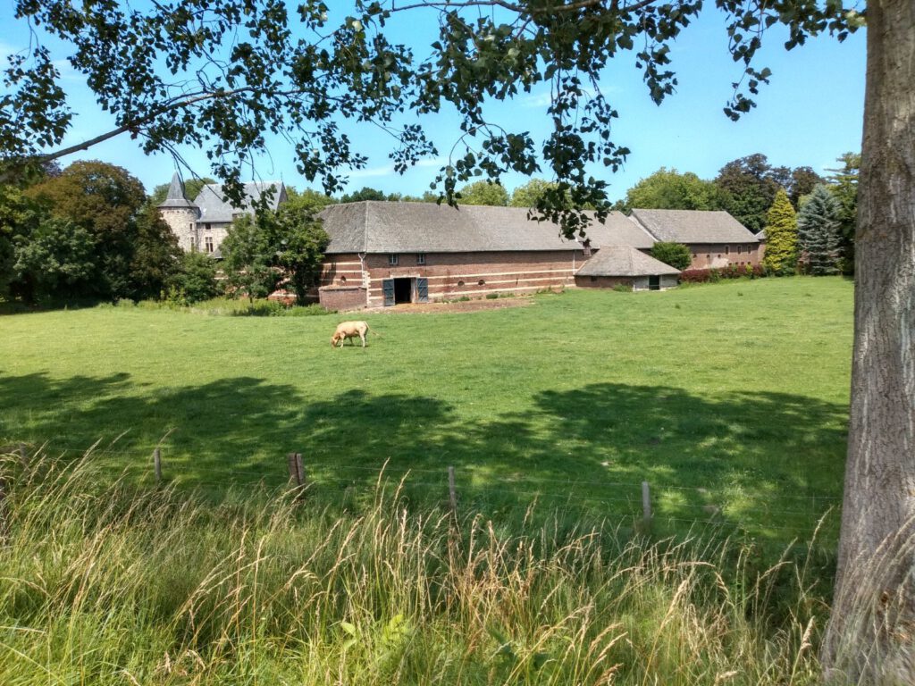
Slowly I approach Gulpen again. In the meantime I already recognize the surroundings a bit. But first it goes past Wittem. That place is known as a place of pilgrimage; there is a large convent of the Redemptorists. The Redemptorists originated to evangelize – to care for souls – with the poor farmers around Naples who were abandoned by the richer orders. Catholicism truly breathes through the Limburg landscape with its many chapels, crucifixes and churches. Because of the corona crisis I avoided the attractions, so I decided not to go to the monastery. At the moment nature was my caretaker of souls.
Almost at Gulpen a final challenge came: the Gerarduspad, that had to lead me to the centre of Gulpen in 750 m, was untraceable. At least, I suspect it was closed off and there were large machines and a roadblock. That was a bit of a bummer, because I was ready to finish at a terrace and eat chips. So close and yet unfeasible. On the other hand, what is a kilometre detour on a distance like this? Eventually I had to follow the bike path next to a busy road. A not so spectacular end of a beautiful trip.
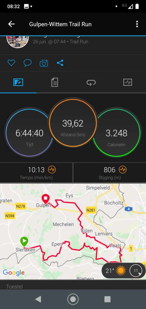
Done: 39.62 km, 806 hm in 6 hours, 44 minutes and 40 seconds.