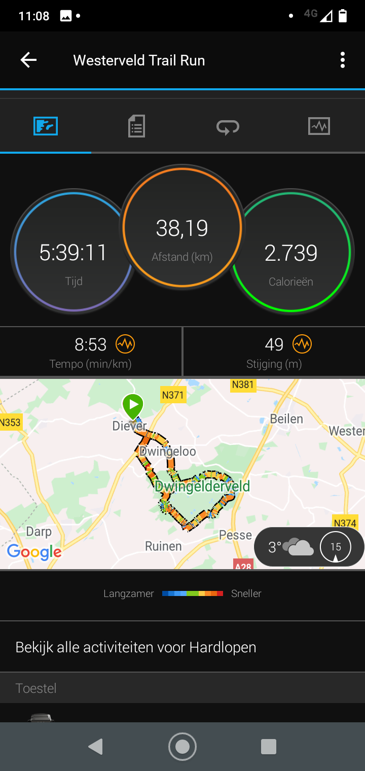
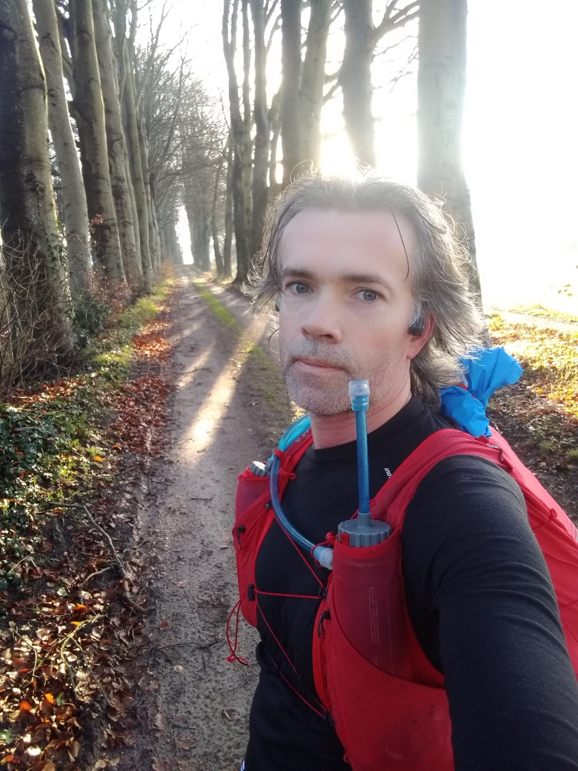
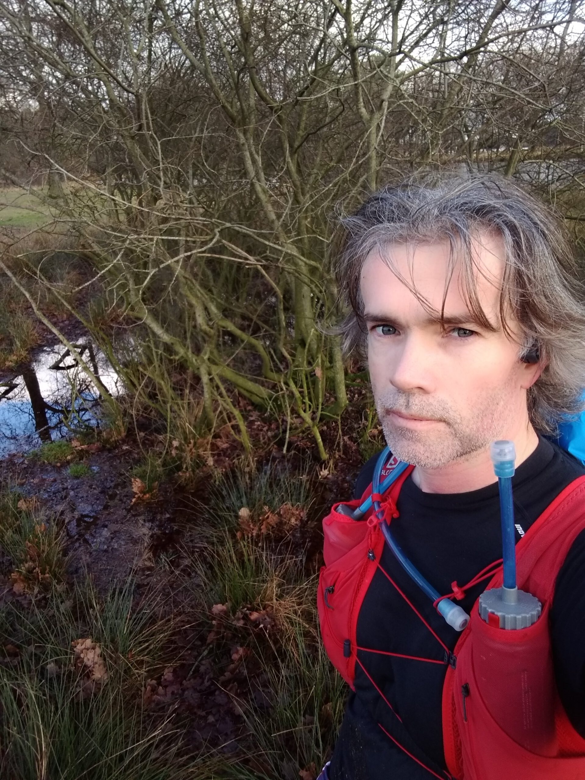
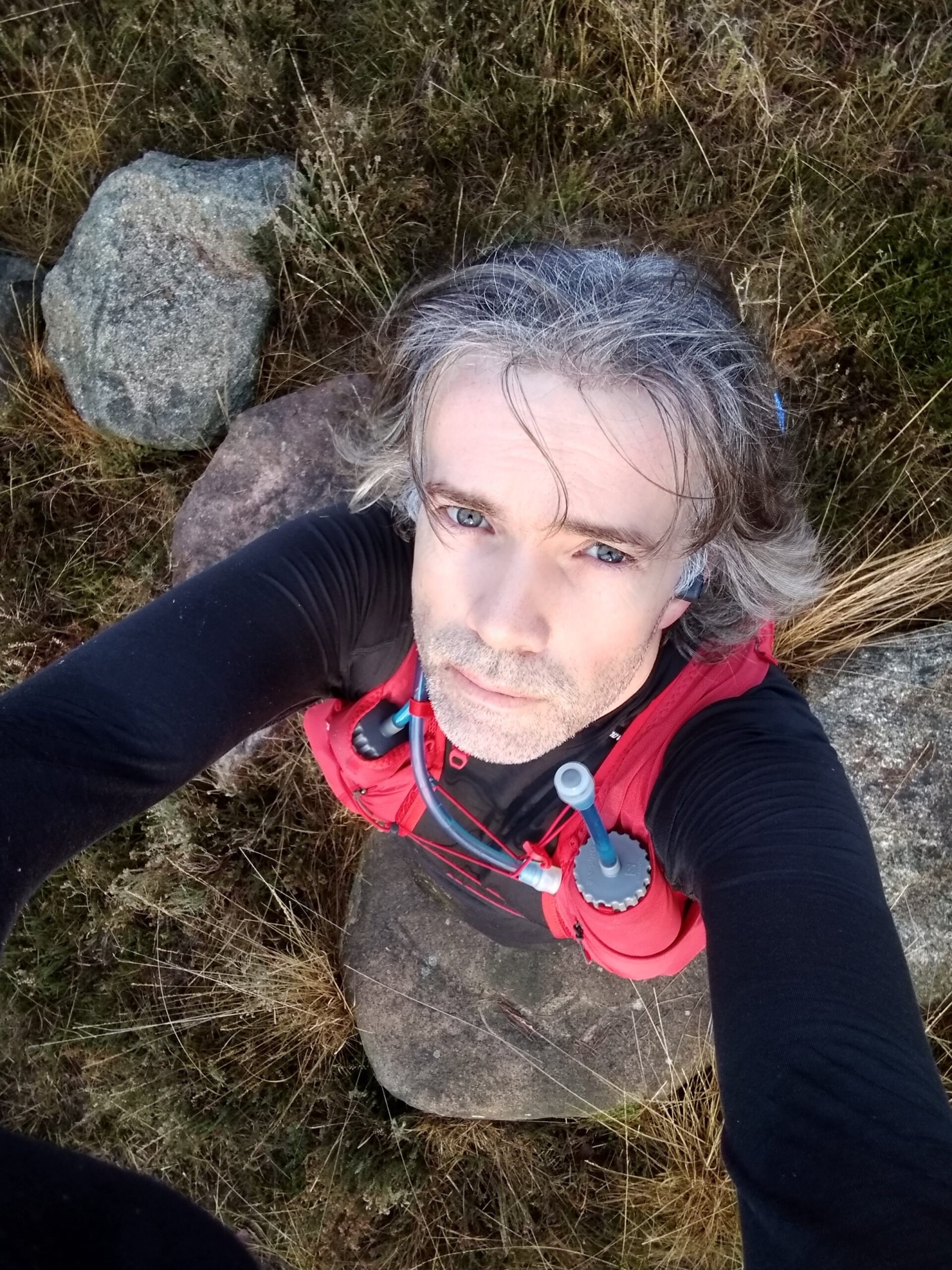
The last long run of 2020 and what a run it was. About telescopes, almost 70 km cycling, empty batteries and 38 km of running through the mud.
Probably I am not my mother-in-law's favorite at the moment now the smell of muddy and sweaty running clothes is filling the shower. But how great is it to spend a day out on the heath in between family stuff. And to find some of the northernmost waypoints of the Viking Waypoint Challenge . The last blog was also some time ago. Previously, work fatigue was clearly a hindrance for running – on a beach run on December 12 I did not even get past 35 km – but now I felt fitter and ready for a challenge again.
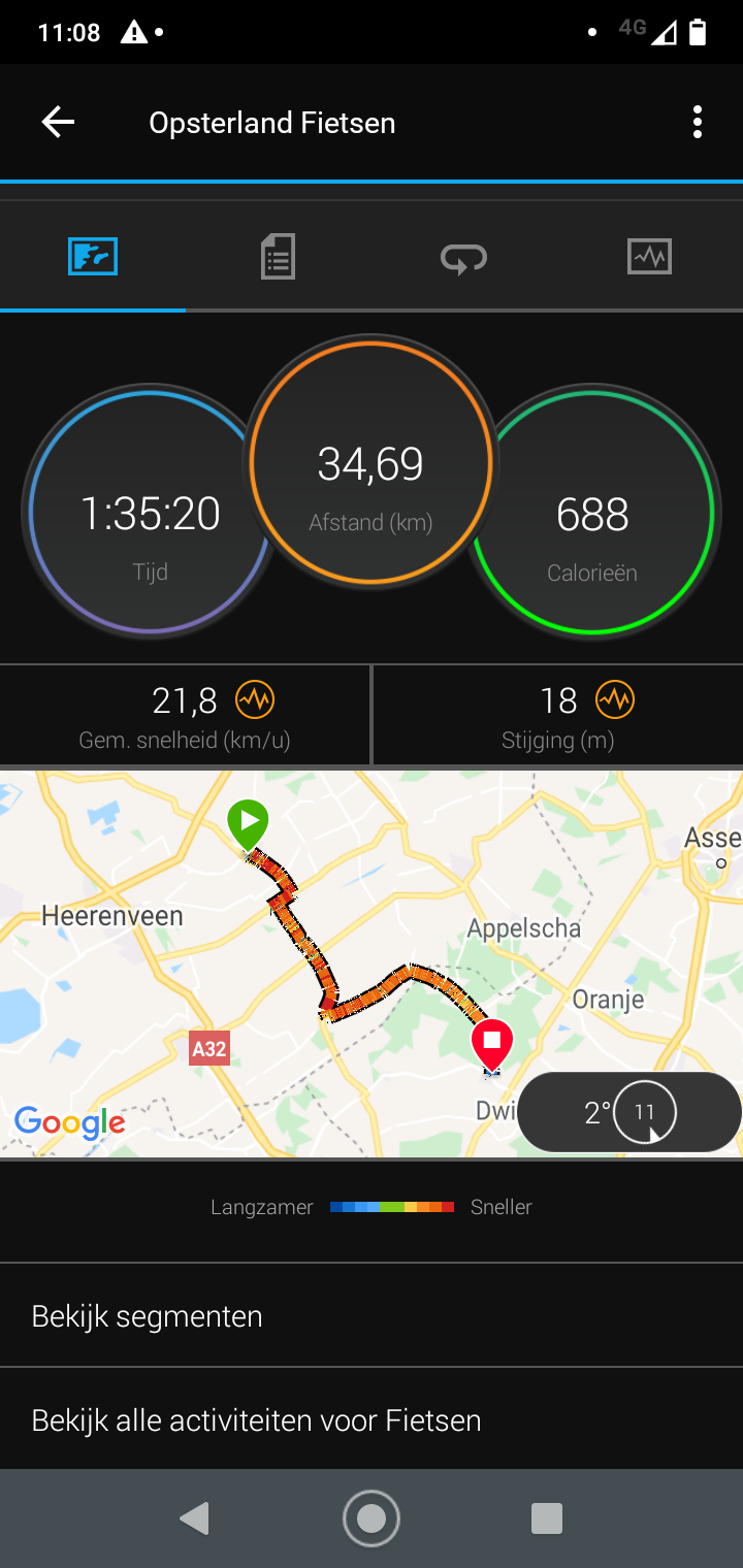
The plan for this day was, just like before with the Drents Friese Wold, to take the e-bike of my late father-in-law to get to the starting point. That starting point was a matter of good planning. I can't remember the exact reason for my choice for Diever. In any case, it was a combination of factors: length of my run, radius of action of the e-bike, presence of a supermarket, and a large dolmen that I wanted to take another look at. The route for the waypoints themselves was very simple. Because of the fens and closed sections, there was a very logical roundabout around the big pond, so all extra kilometers had to come out of that run from Diever as well.
Sunrise
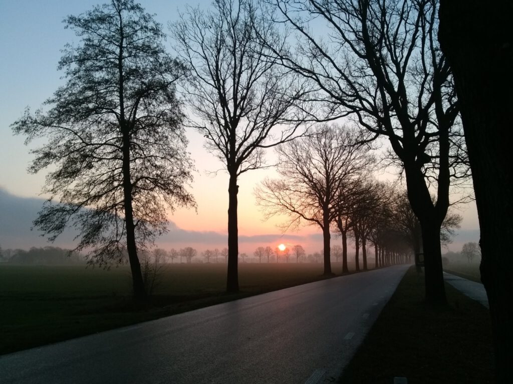
“Don't stare too long, otherwise you will wear the beauty down”, a woman says with a wink when I take a picture of the rising sun in the foggy landscape. After the first kilometers of dense fog, I left around half past eight, it slowly clears up now and that gives a very soft look to the meadows.
Because cycling to Diever and back is 65-70 km, I took it relatively easy. Not using the engine at full power, but in the middle position to save the battery. We thus cruised quietly with a speed of 25 km/hr through the landscape. But soon the meter on the display dove, partly because of the cold I suspect. After 10 km, there was only 70-80 percent battery left. After 30 km there was only about 30 percent left and I decided to turn off the support because I probably wanted to slow down a bit after running. Only then I really noticed how heavy the ebike is (I still plead for power brakes on those things) …
Despite the fog and the temperature being just above the freezing point, I am cosy and warm in my Montane Icarus down coat. Only the shins and feet feel really cold. Once at my destination I discovered why: my feet ‘slept’ and I really had to stomp them to get the circulation going again. That has never really happened to me before while cycling. Could it be because of the thin Altra Superiors? Or because the ebike pedals are so hard? In any case, I was glad that I could run instead of having to cycle all the way to the Dwingelderveld.
Who thinks you have to eat a lot extra for such a bike ride: the blood sugars remain fairly stable at this leisurely pace. I did take a little less insulin beforehand (2 units less at breakfast), but that gave me a high start. At the end of 1.5 hours of cycling the blood sugar was still 7.3 mmol/l. After which I took the starting solution Generation Ucan before I started running.
Birds among the trees
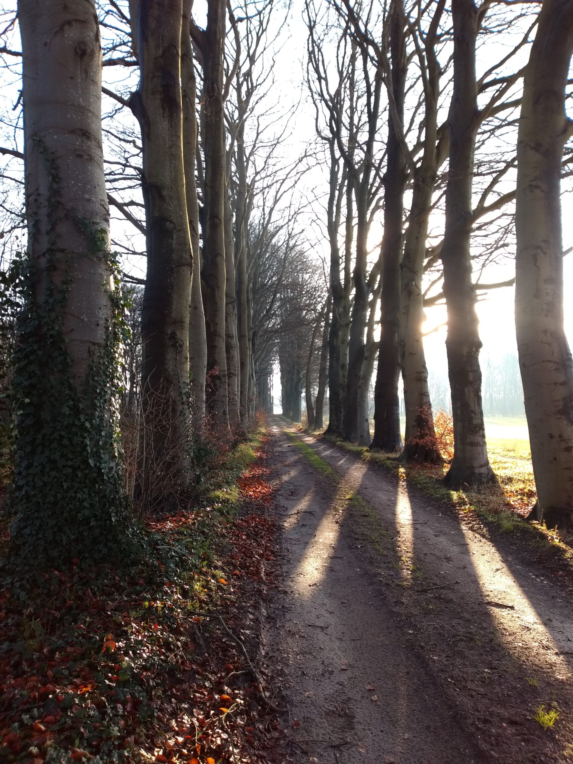
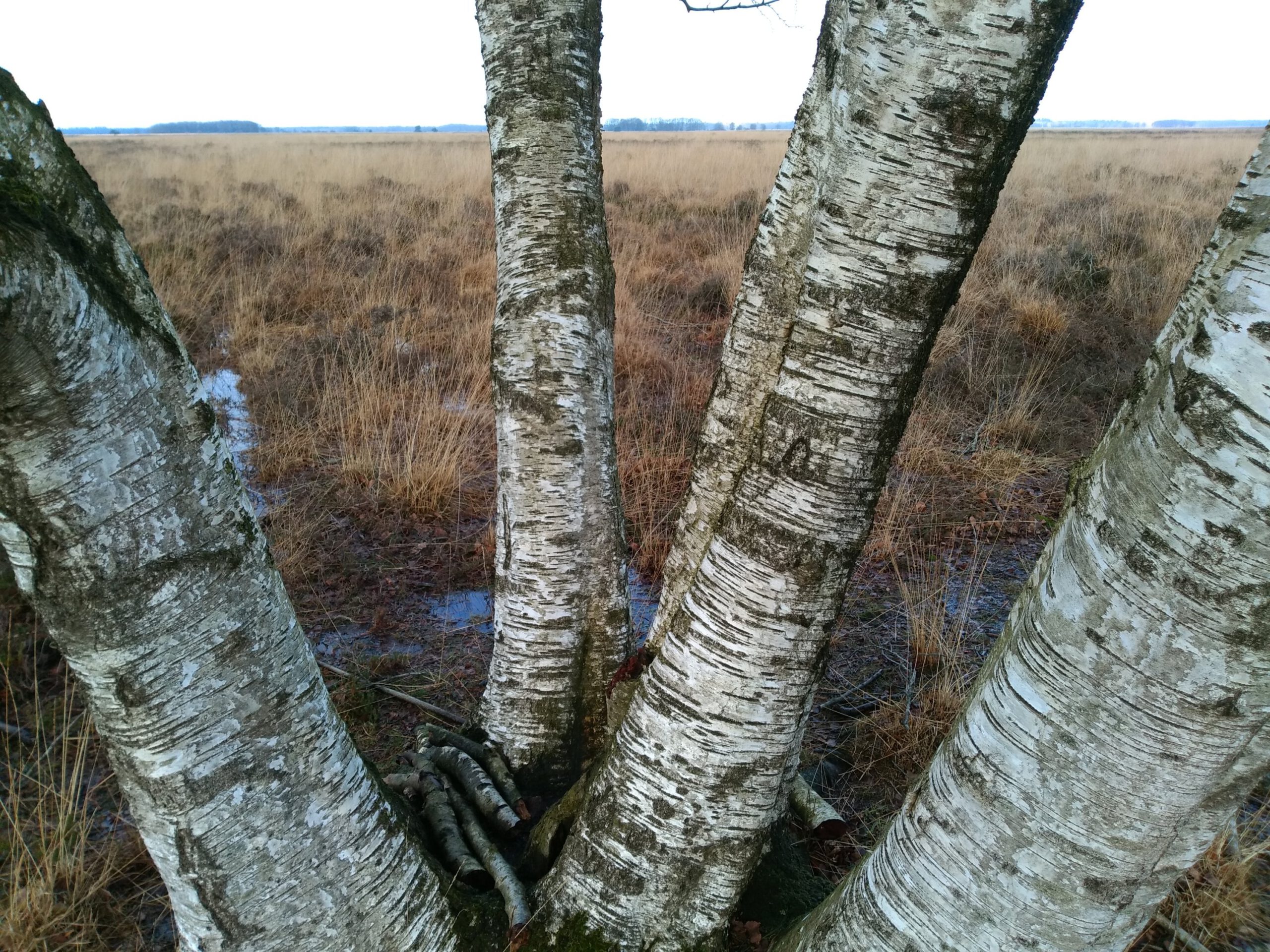
While the meadows were just getting up in the clearing fog, in the woods it was already a hustle and bustle. Sunbeams fell between the trees like straight stripes in the last patches of fog. Dozens of little birds were twittering and storming in all directions when they heard me coming. Did they get confused bythe season, that there were still so many? Judging by the trees and temperature, it might just as well have been autumn.
Those first few miles were absolutely effortless. In spite of the 35 km long bike ride that preceded it. Fortunately, because a few days earlier I already felt tired of 10 km around Gorredijk. Partly also, is my conviction, because I was dressed a little too warm then. Two layers at 10 °C actually aren't necessary yet and it smothered my running pleasure.
The passer-by
VW9 
VW2 
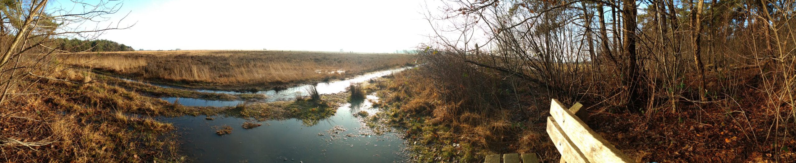

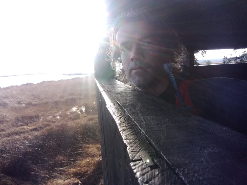
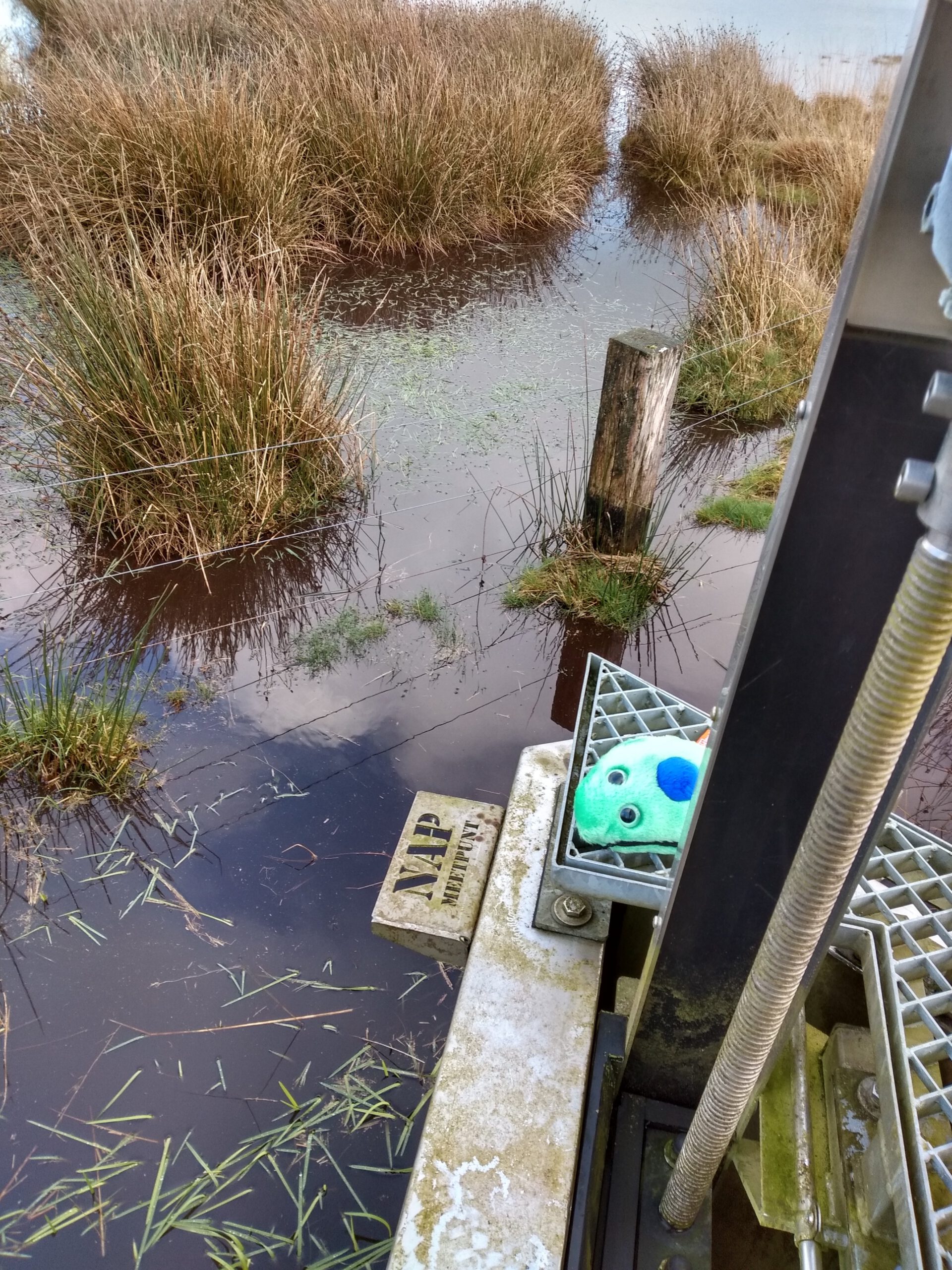
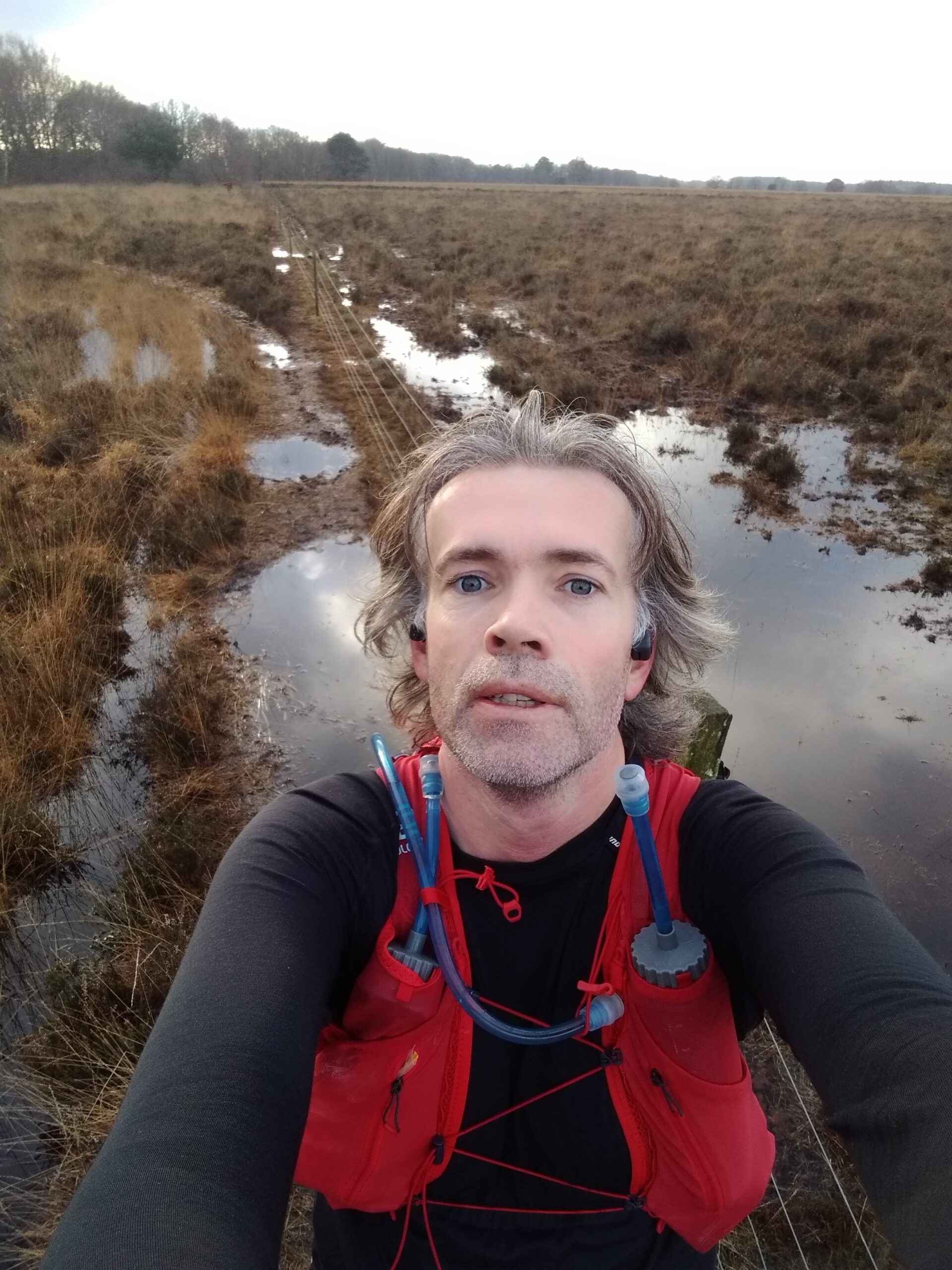
Once I arrived at the Dwingelderveld, it was above all quiet. I just passed a somewhat older couple. And soon I saw the first blue flag on the screen of my Fenix. Oy, the path where this bench stood was already practically under water. I had to run partly around, partly through the puddles, arrived at the bench and took some photos for the challenge. Meanwhile the couple was almost at the bench and I decided to continue. Less than 50 m further, I changed my mind and first looked at the map. I nearly missed a recumbent on the route, where a bird watching cabin had to be visited.
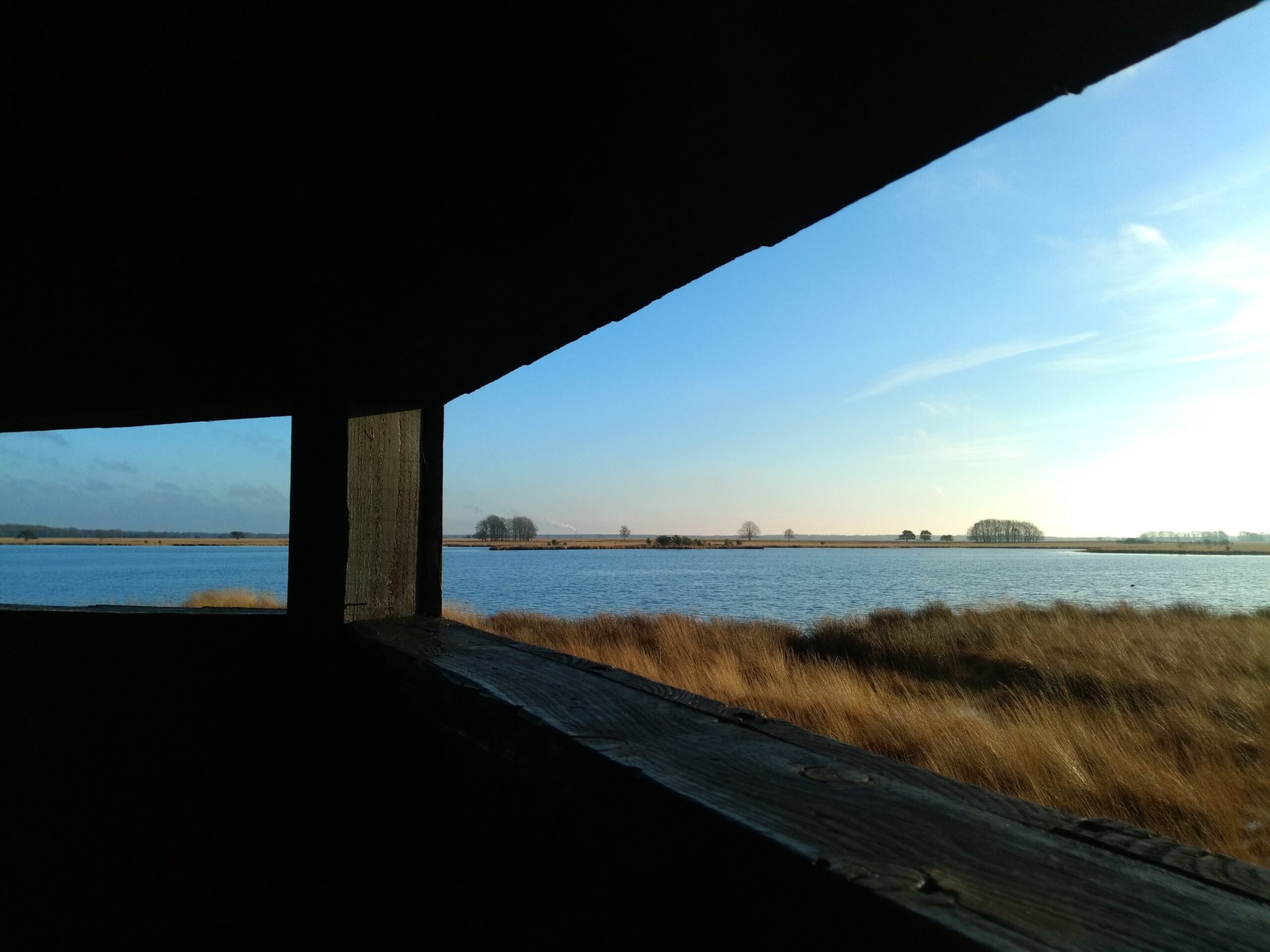
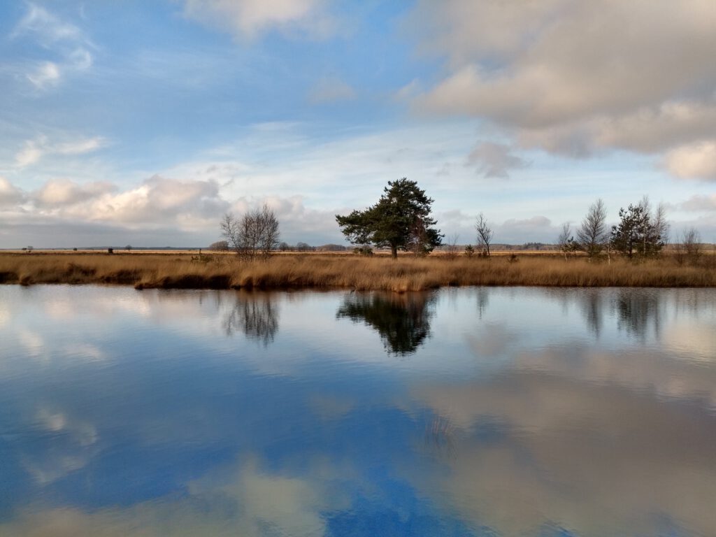
I greeted the couple for the third time and went to the cabin. The view over the Davidsplassen from this point is definitely to be recommended, even without binoculars for the birds. The golden-yellow plumes of grass around the clear water are truly soothing to the lonesome trail runner.
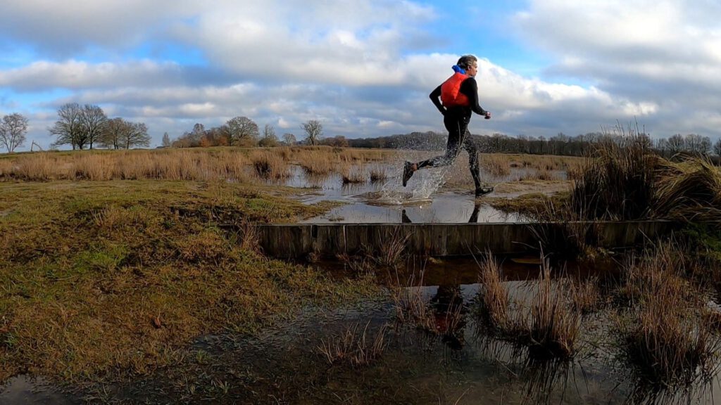
Back to the main road; I greet the couple a fourth time. Further on this path seems to be a lot better, although it requires some zigzagging around the puddles. For the walkers it must be a strange sight, a runner in full outfit running left, right and then straight through puddles.
GoProblems
VW4 
VW1 


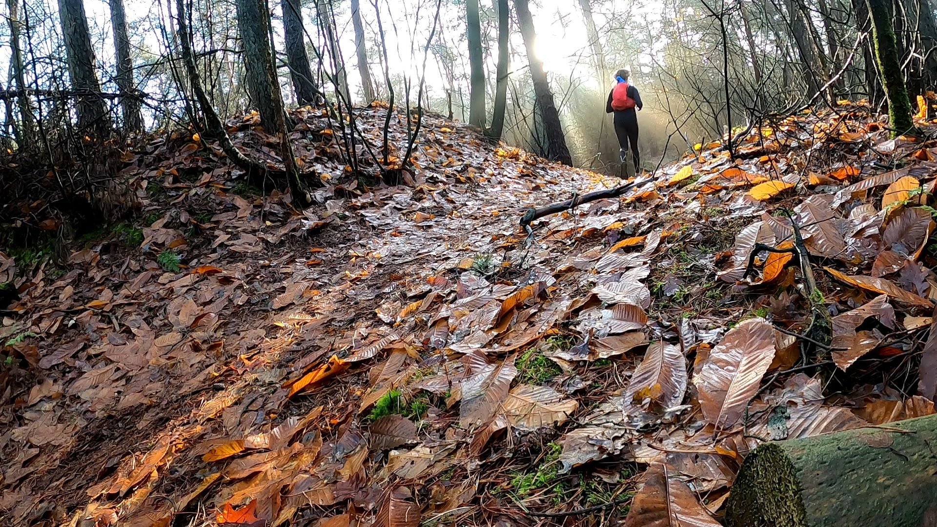
After the piece of heathland, I slowly came to a wooded area. The sun was shining through the trees with strong rays. My eye fell on a path full of autumn leaves that seemed to shine almost orange because of the incidence of sunlight. To have a few running pictures for the blog, I took out my Gopro. But it wouldn't start, even though I thought the battery still had to be almost full. Soon it turned out that the battery cover was untraceable… and the battery shifted. Not nice, but I turned on the battery and fortunately it came back to life. After forgetting the date though, so late in the evening I was searching for ages to find my photos back in 2016 (arranged by date). Hopefully the lid is at home, there are Chinese action cams that cost less…
Moments later I was also worried about the missing cover when taking photos at a watercrossing. At the end of a photo session like that, the camera is usually half covered with water, which is not very handy if the lid is missing. But I decided to take the pictures anyway; life is about taking risks.
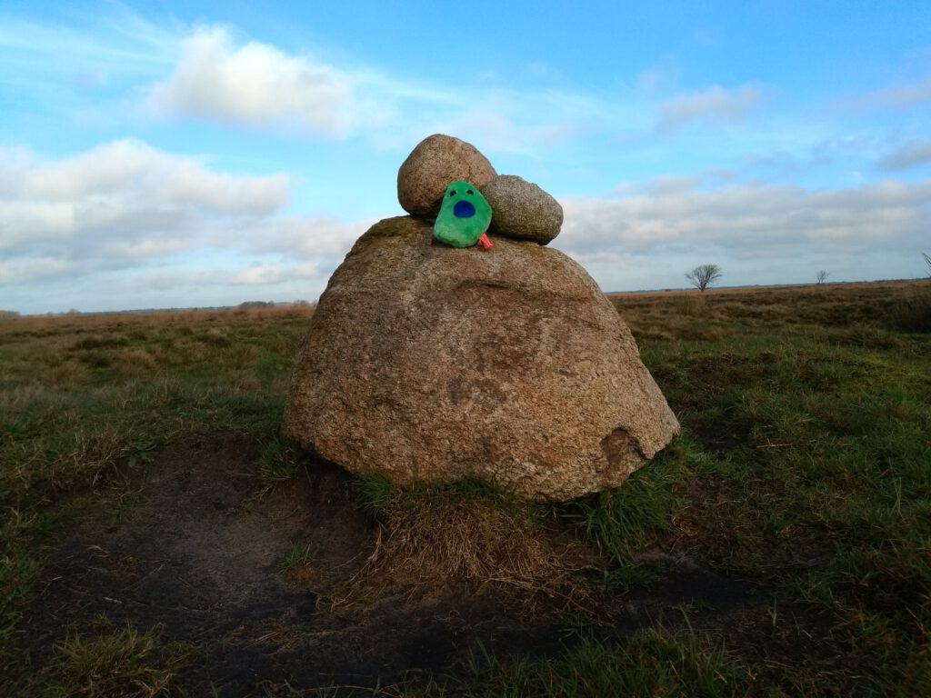
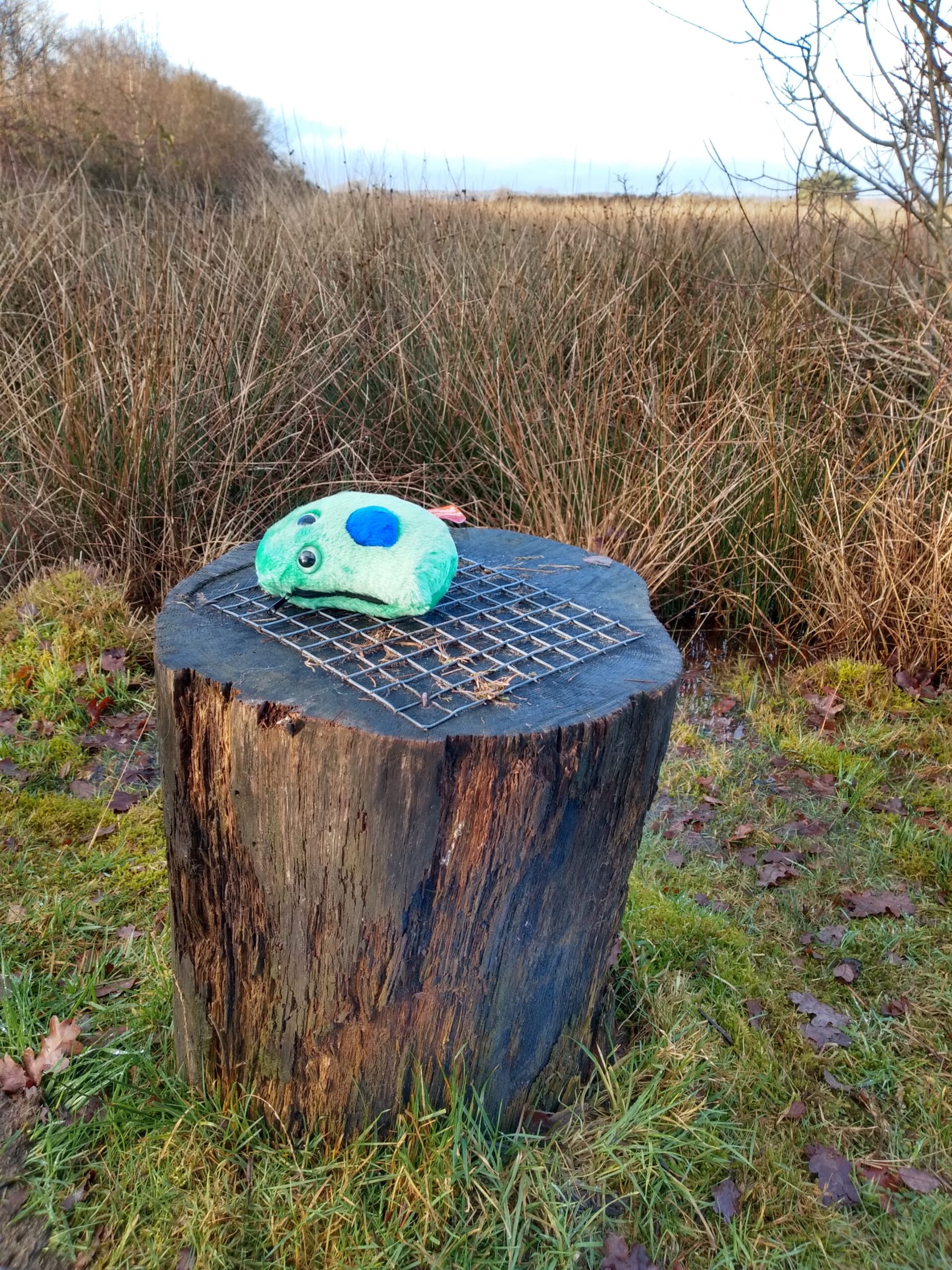
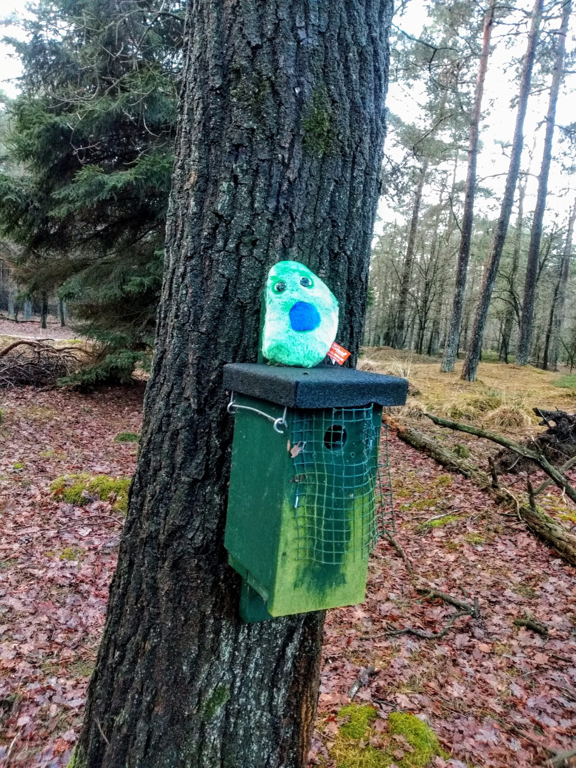
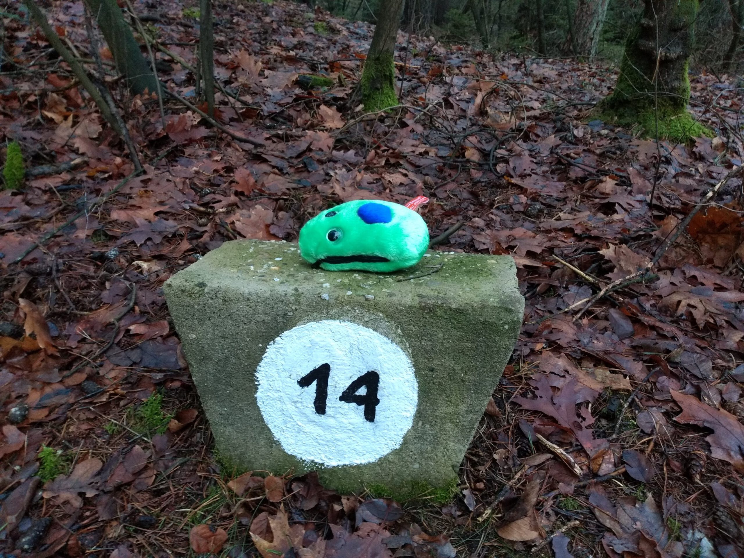
Mascot
VW14 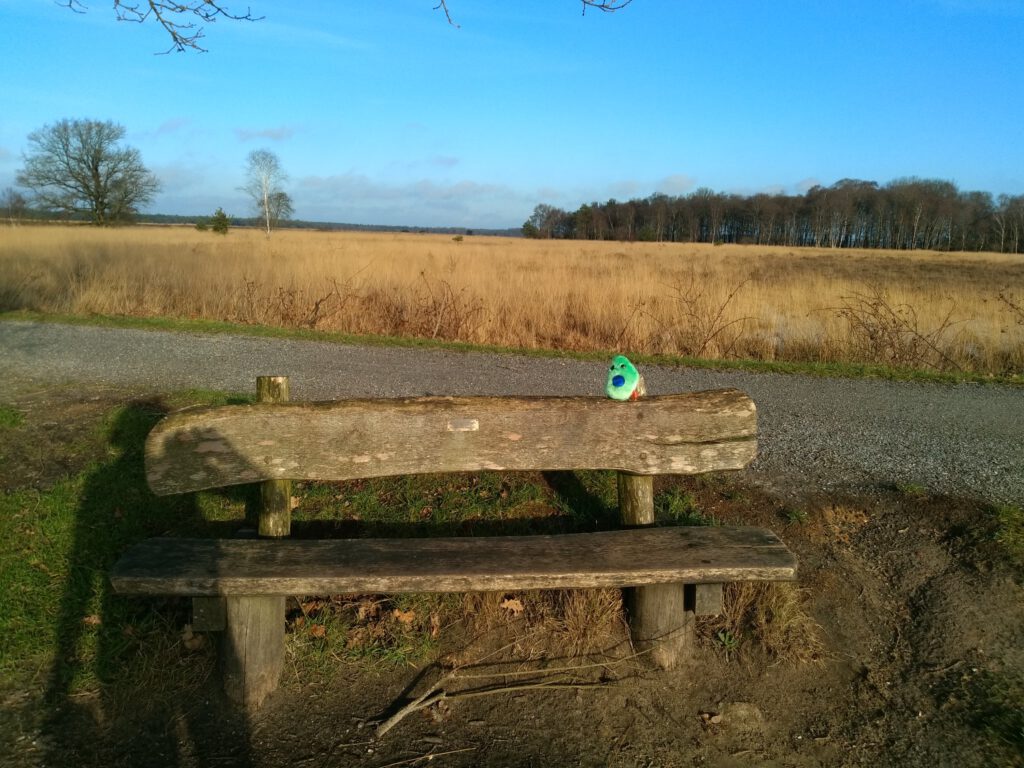
VW15 
VW5 
VW11 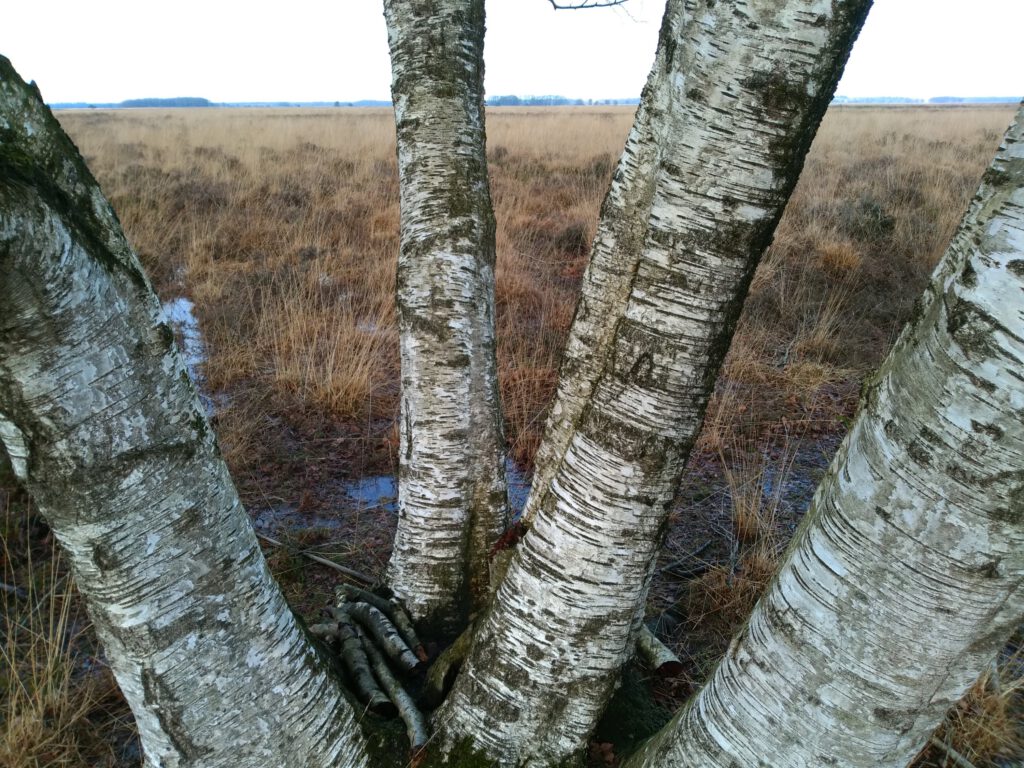


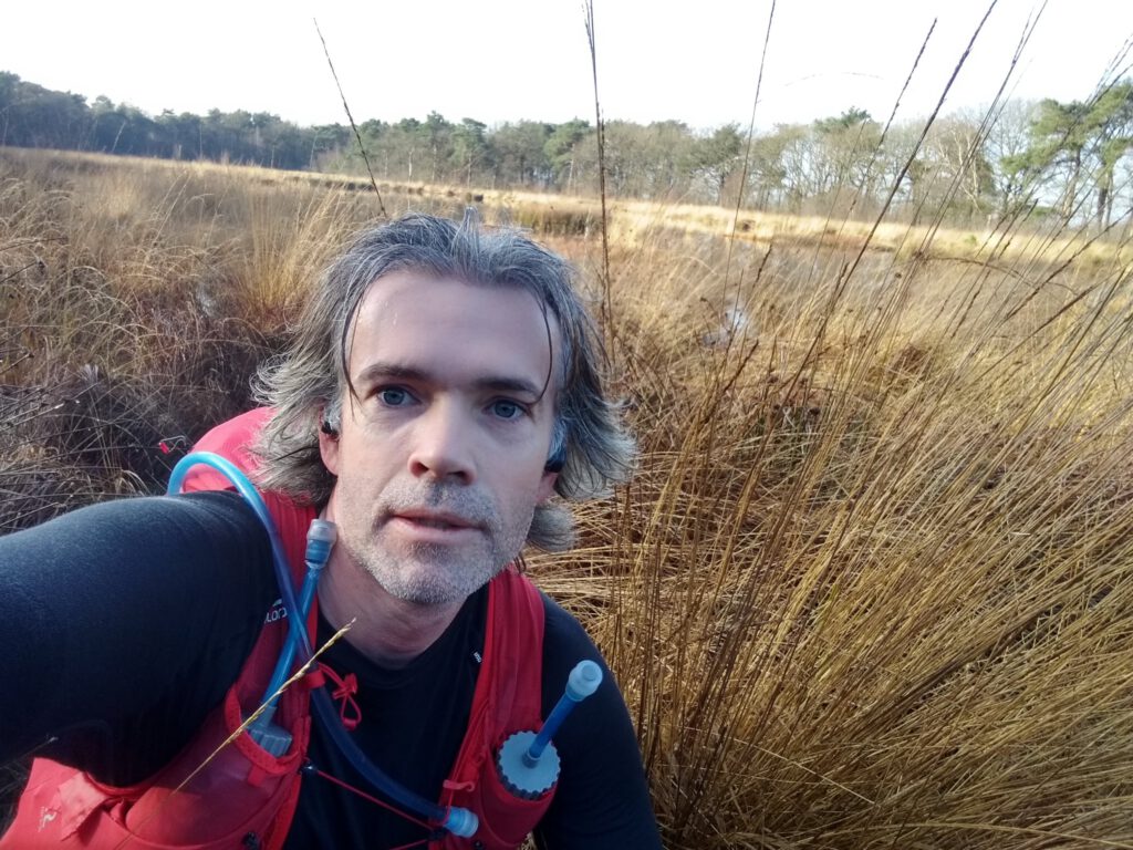
Of course my beta cell was also with me as mascot for the photos. On this trip, however, I could not use it that often, because many waypoints actually involved wide views. You won't be able to find such a small ‘cell’ back in the scenery then.
One of the first waypoint photos with the beta cell was with a stone man. Or rather, a small number of stones piled up. I had already seen quite a few of them and wondered what this was supposed to be. Most stacks consisted of only two stones. And was this something historic? I lived in the north for a long time, but had never heard of it. In the end the website of Natuurmonumenten gave the solution. They are little stone men who are put there to lead you through the Kloosterveld.
Path or ditch?


Sliding path… 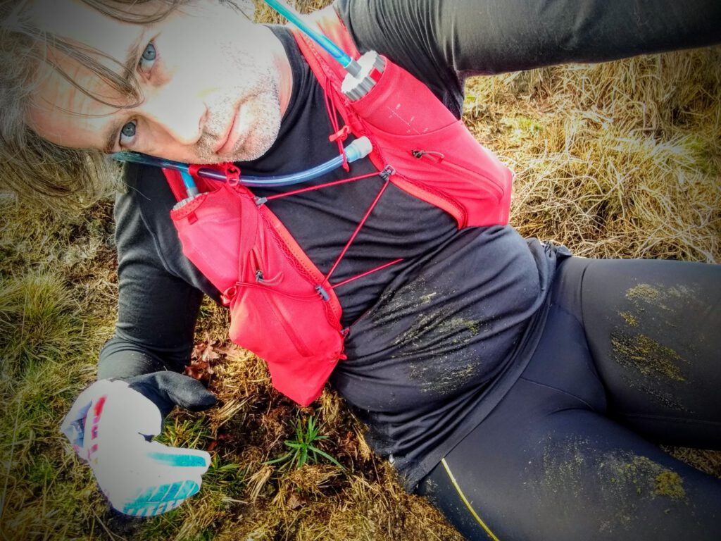


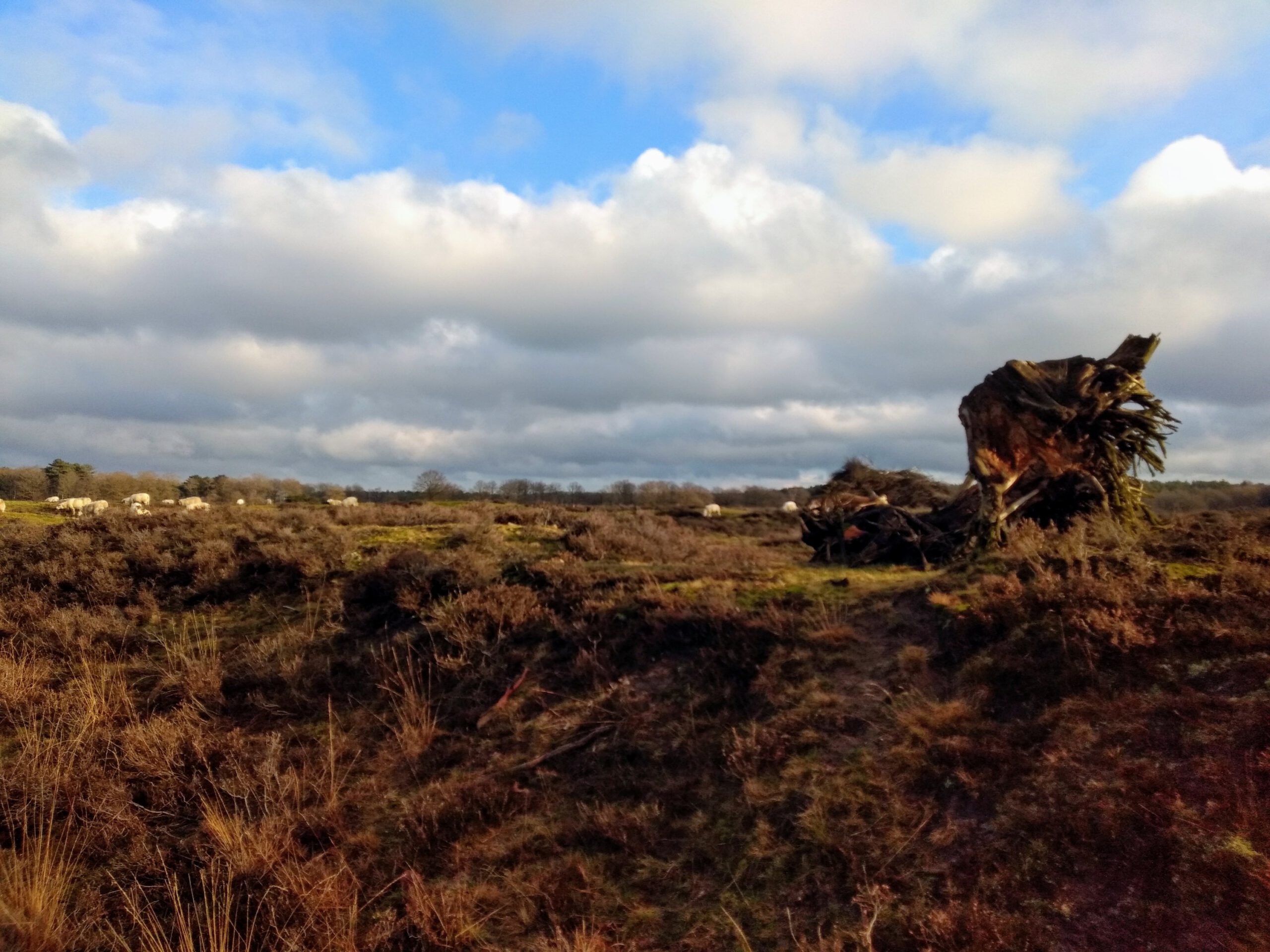


Soon after the stone men I ended up on a path where little had remained above water. The pieces that were, were so slick that the Superior – absolutely no mud shoe – slipped away easily. Landing flat and spreading the pressure, or running through the water which has a firmer soil underneath, where my only options. Because of the large tussocks of grass, there was no walkable verge next to the path for a kilometer or two.
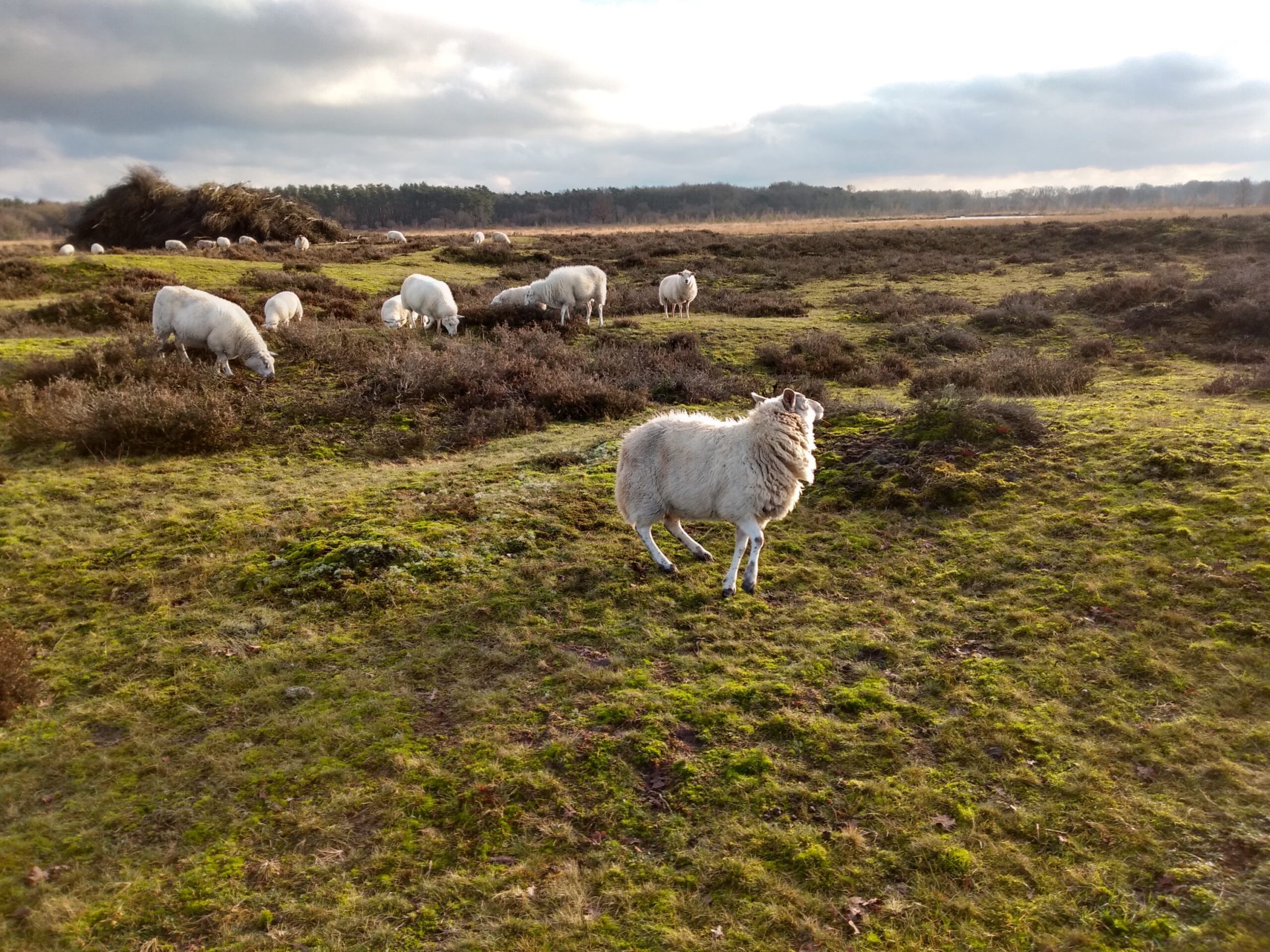
Quite a few points further, the inevitable happened: I made a slip. Not while running– running is more stable – but while walking and photographing a flock of sheep. The verge I was standing on, glaciated down the slope, I struggled to grab anything - nothing in sight - before my ribs landed rock-hard on a high tussock. They don't give in, I can tell you. Muddy and a bit limited in movement, I continued on my way.
Telescope

VW6 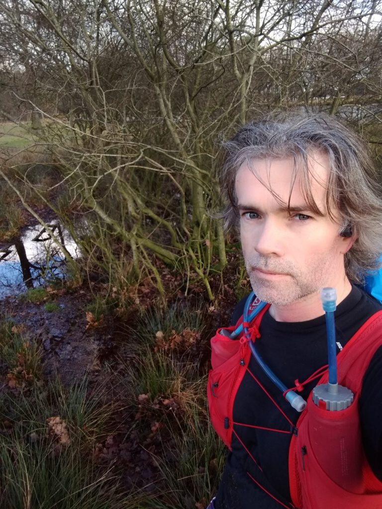
VW12 
VW7 
VW10 
VW8 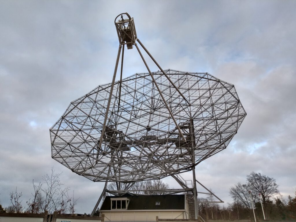

VW13

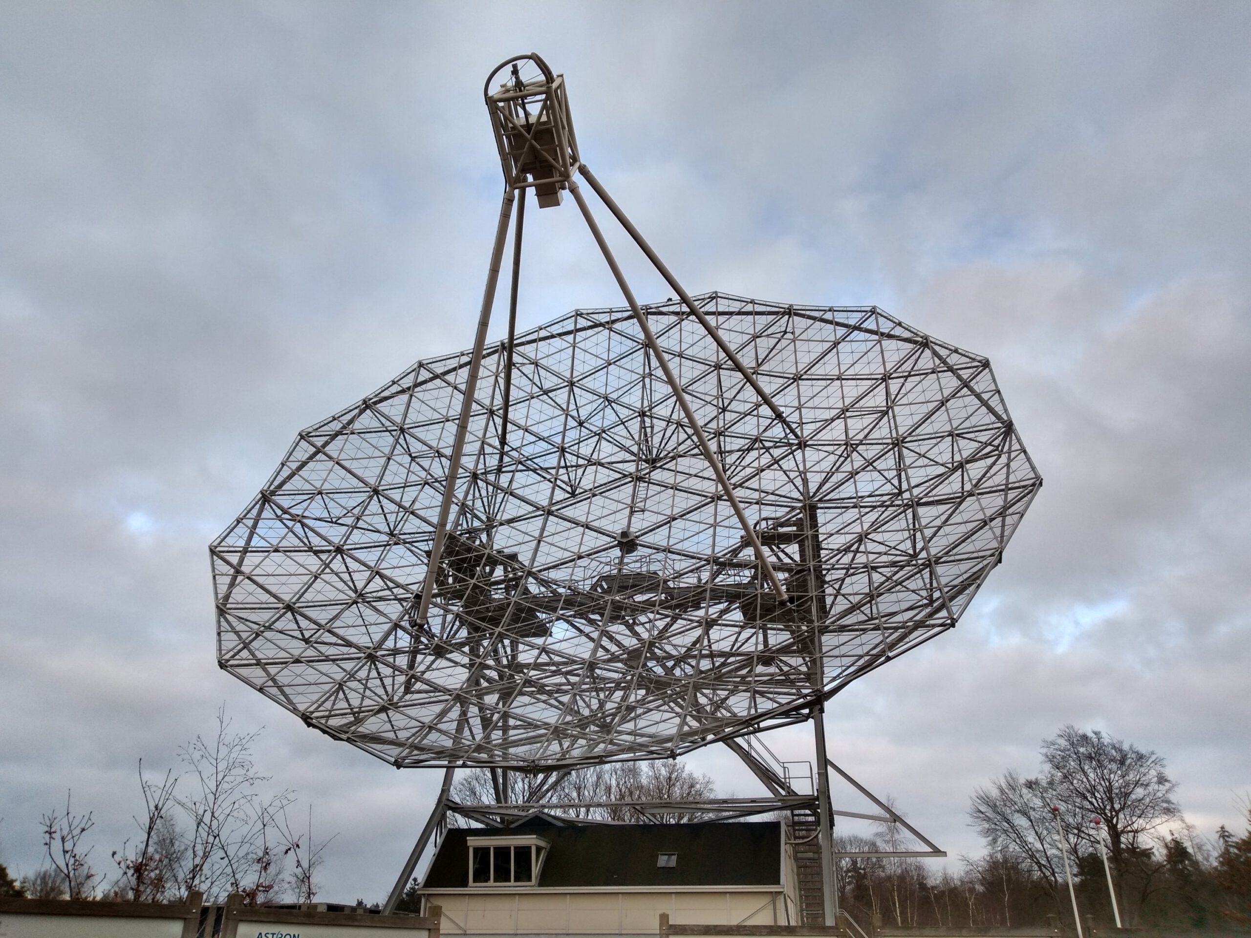
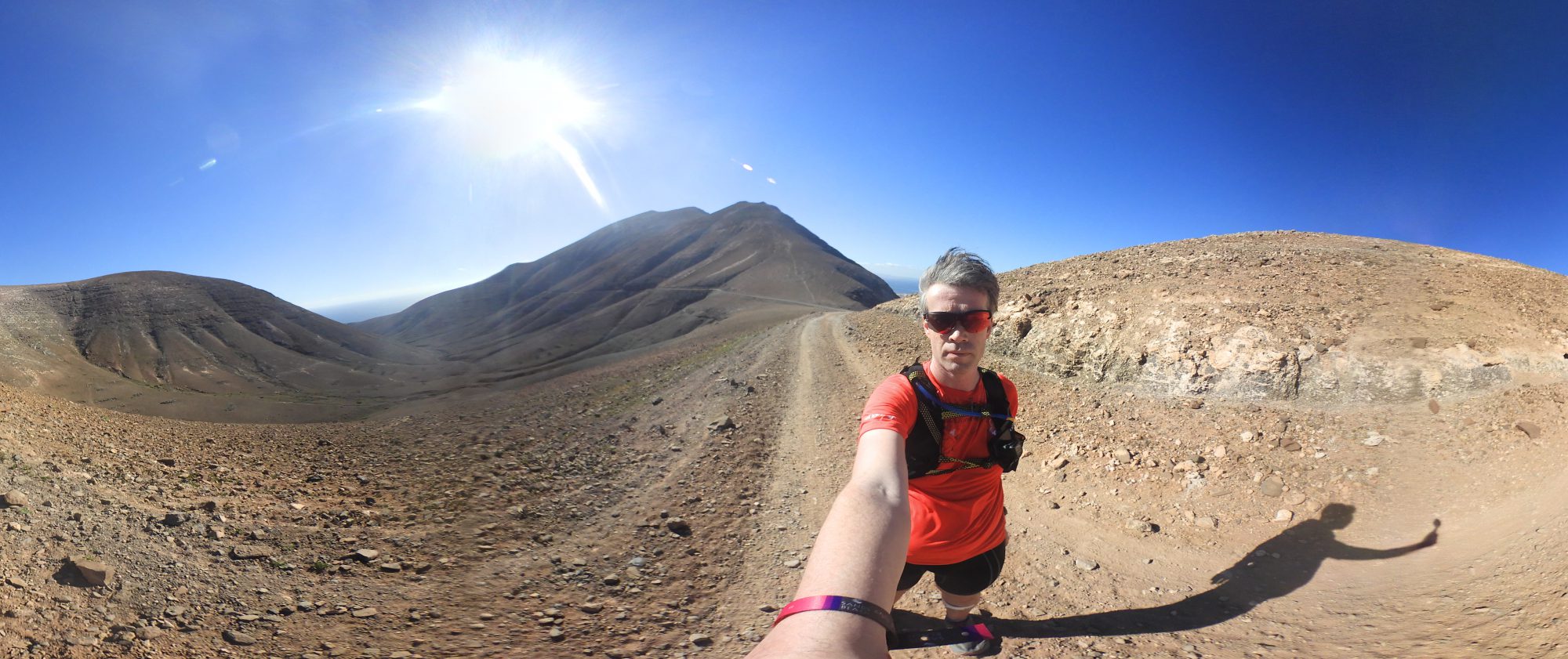
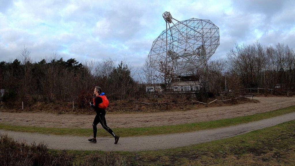
I frankly admit that the route at Dwingelderveld also appealed to me in part because it would pass by one of the old telescopes. Dwingeloo has one of the largest radio telescopes in the world (not because of the size of the device, but because you use them as a network). And one of the older ones was also a waypoint on the route. Even better, the dish (CAMRAS) with a diameter of 25 m is one of the oldest radio telescopes in the world. Not so useful anymore for the ‘real’ work, but it still serves amateur astronomers and educational purposes.
Here you immediately saw it get a bit busier. Including a father explaining to his daughter how these telescopes worked. Somewhat embarrassed I took a few more pictures with the limp Gopro and then I went back to Diever via the charming village of Dwingeloo.
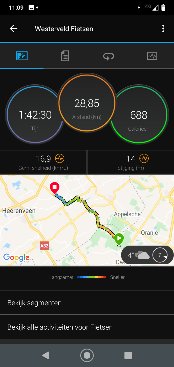
As for saving the battery, I might as well have left it at that and used it at the end of the trip to Diever. After 1 km (only when the GPS was switched on as well) the battery was suddenly completely empty. The rest of the route I had to pedal over the pitch dark – no lampposts – roads between the farms. Cycling without help wasn't that bad in itself, but of course the 25 km/hour was completely unfeasible.
Fueling
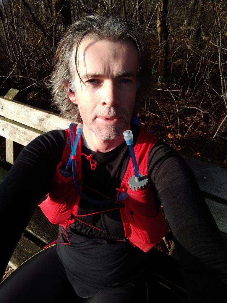
In terms of nutrition, this course went quite well. Not for a moment has my blood sugar really been too low in my opinion, although the Libre only did it while cycling (warm under the down coat). As mentioned before, I use considerably less during cycling than during running. Both times I did take a little snack before departure, but the 35 and 30 km respectively (that first route would be shorter according to Google Maps, but was not preferred… took the preferred route the second time) could be done without stopping for food.
In Diever I took a solution Generation Ucan before I started running and 1 Snickers because Ucan needs time to start working. During the run I took 2 Snickers, 2 gels, 1 dose of Ucan and 1 dose of energy drink (Isostar). That's all for more than 3 hours of cycling and 5.5 hours of running.