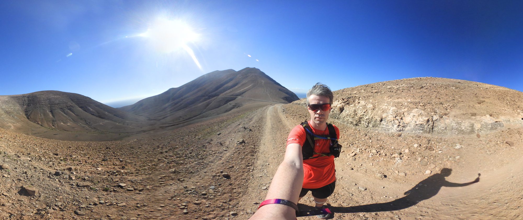
40 km through a varied landscape on the border with Belgium but still quite close to home. An underestimated training area where I collected 10 waypoints. And where I could test the Bubble to send my blood sugars to my Garmin.
With all the covid measures in place, it's getting harder and harder to visit a nice training area. The curfew is also restraining me, because 21 hours comes quite early when you are doing very long training sessions between sunrise and sunset and have to travel and eat before time's up. All the more reason to take a closer look at the possibilities close to home. The Viking Waypoint Challenge offers good opportunities to do so.
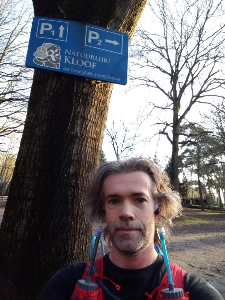
I've seen some areas close to home before: the Amsterdamse Waterleidingduinen and Egmond are both easy to reach by public transport. Bergen op Zoom is another area that I regularly hear good things about, for instance from Praatjes op de paadjes, and it can be reached in 1.5 hours by train. But because there are only 10 points to be earned, I had not put it on top of the list of places to go. Unjustly as it will turn out, because it is really recommended for trails.
Border issues
The fact that there are only 10 points in the area means the route is short. Including the part to the station, I came out at 23 km. That seemed too little to me. But how to extend the route to get a good overview of the area?
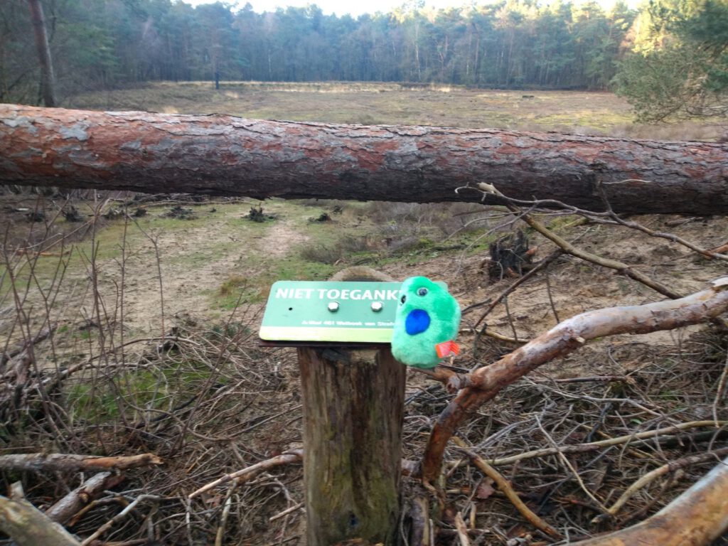
The Kalmthoutse heath sounded very tempting. There was one problem though: officially you're not allowed to enter Belgium anymore. And I planned to stick to that, but it limited the route planning quite a lot. Even more so as the Woensdrecht military airfield is limiting this side of the border, which means the trail will have to cross a narrow strip of land. Still I managed to avoid the asphalt and continue in the direction of the Brabantse Wal to gain some altitude.
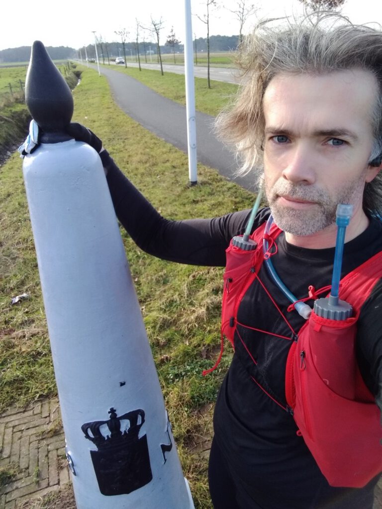
Bubble
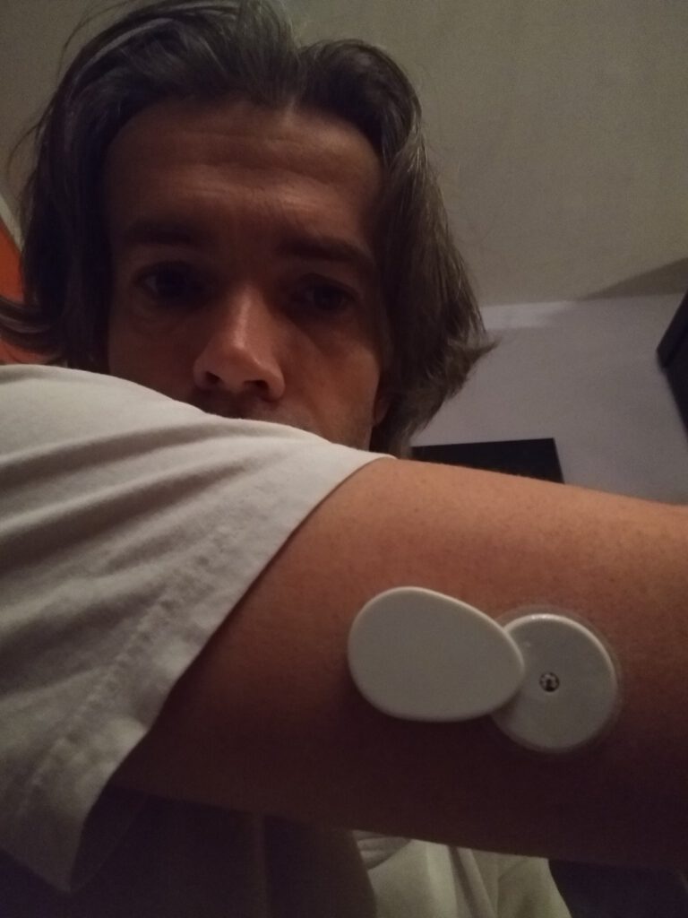
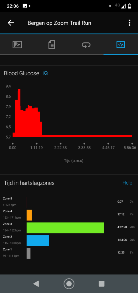
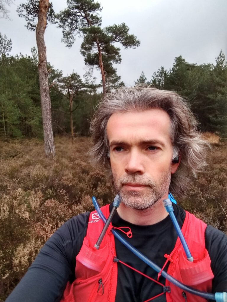
Earlier I mentioned that I often have problems measuring blood sugars with the Freestyle Libre in low temperatures, below about 8 C. Since this week I also have a Bubble. It is a small device that you put on the Libre and that sends the values directly to the app XDrip+ on my phone and to my Garmin, which even includes it in the training logs thanks to a ConnectIQ data field. Afterwards you can see in the Garmin Connect app how your blood sugar is behaving during the workout.
A nice thing about the Bubble is that it simply skips various warnings from the Libre app. For instance, you can use your sensor for a day longer. And even at low temperatures it keeps on reading; these additional values didn't seem to deviate too much from finger pricks during shorter runs. So I was curious if this setup would solve my cold problem with the Libre.
Tree bark
VW83 
VW82 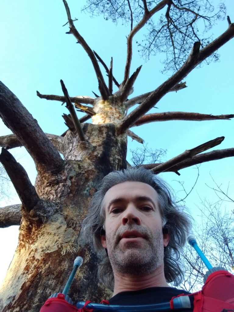
VW84 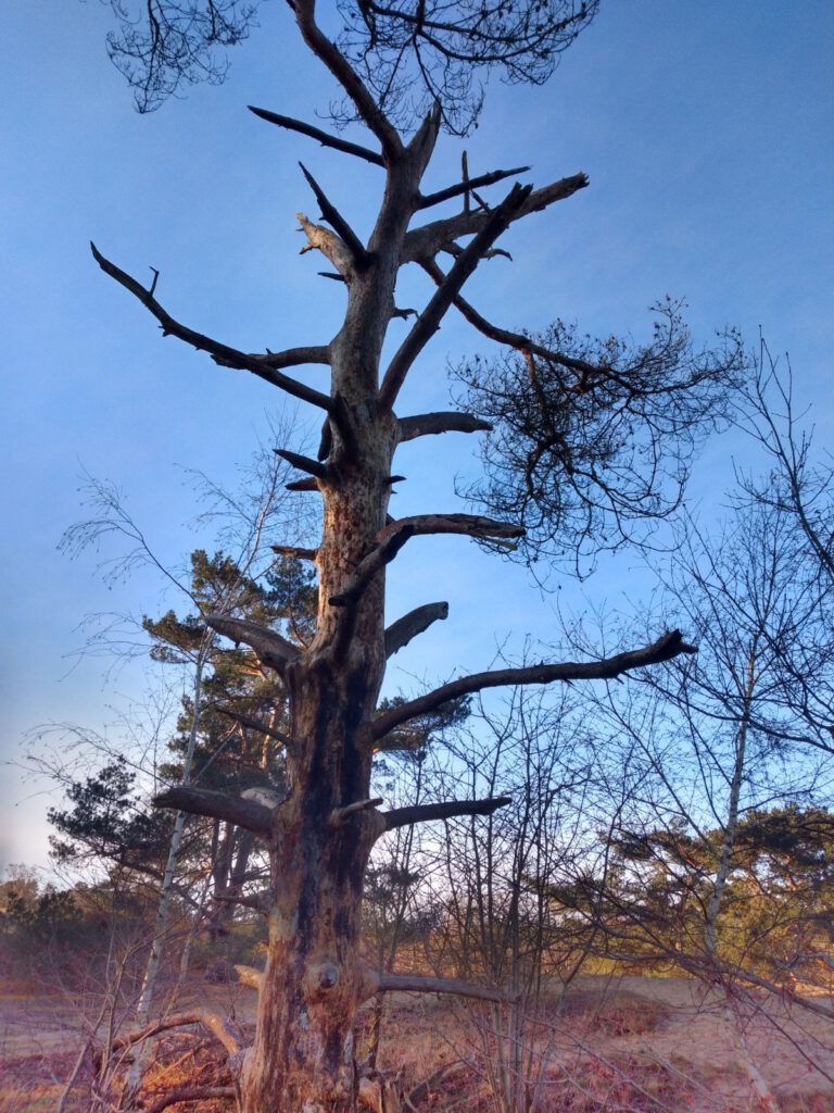
VW89 
VW87 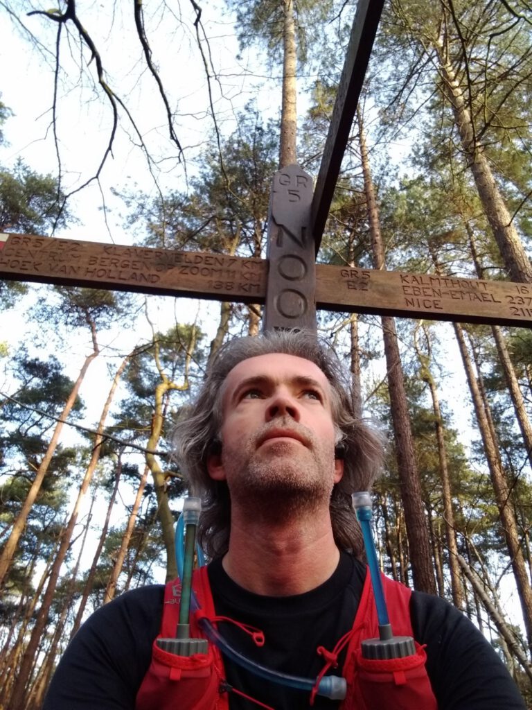
VW88
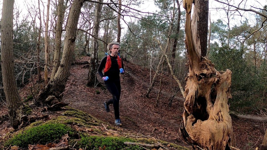
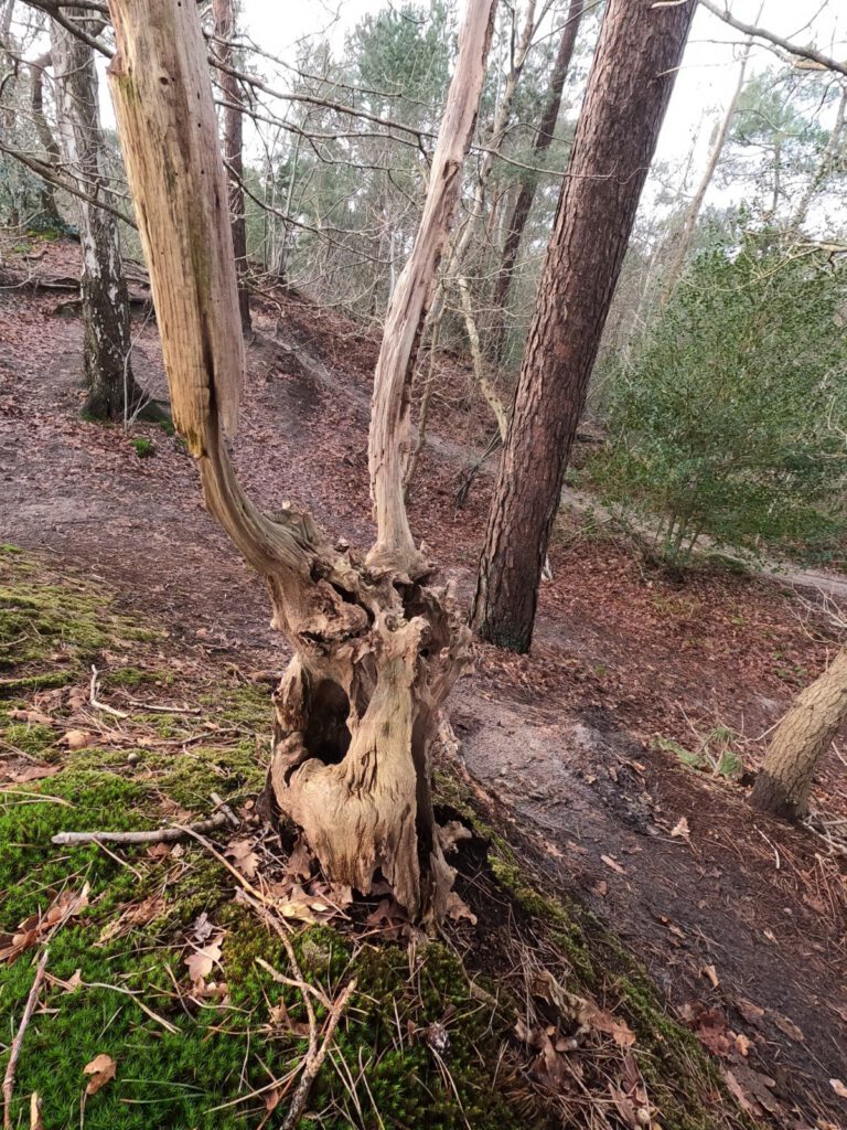
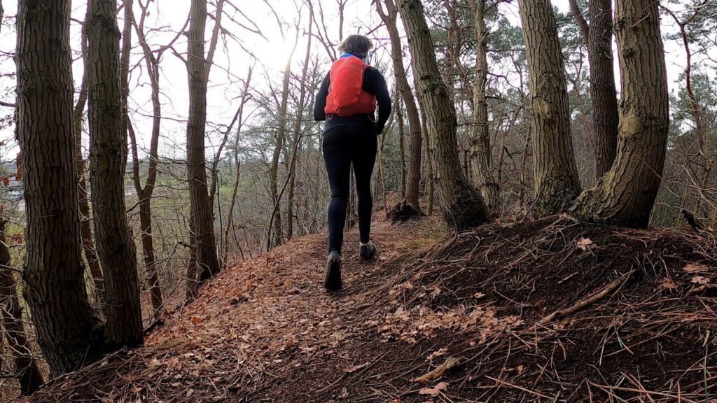
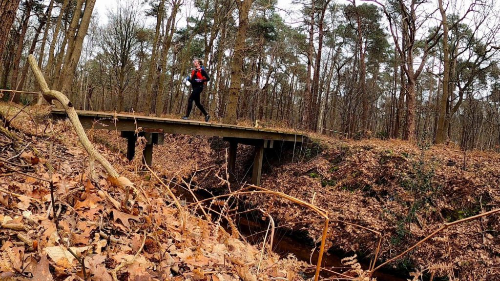
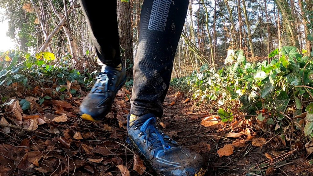
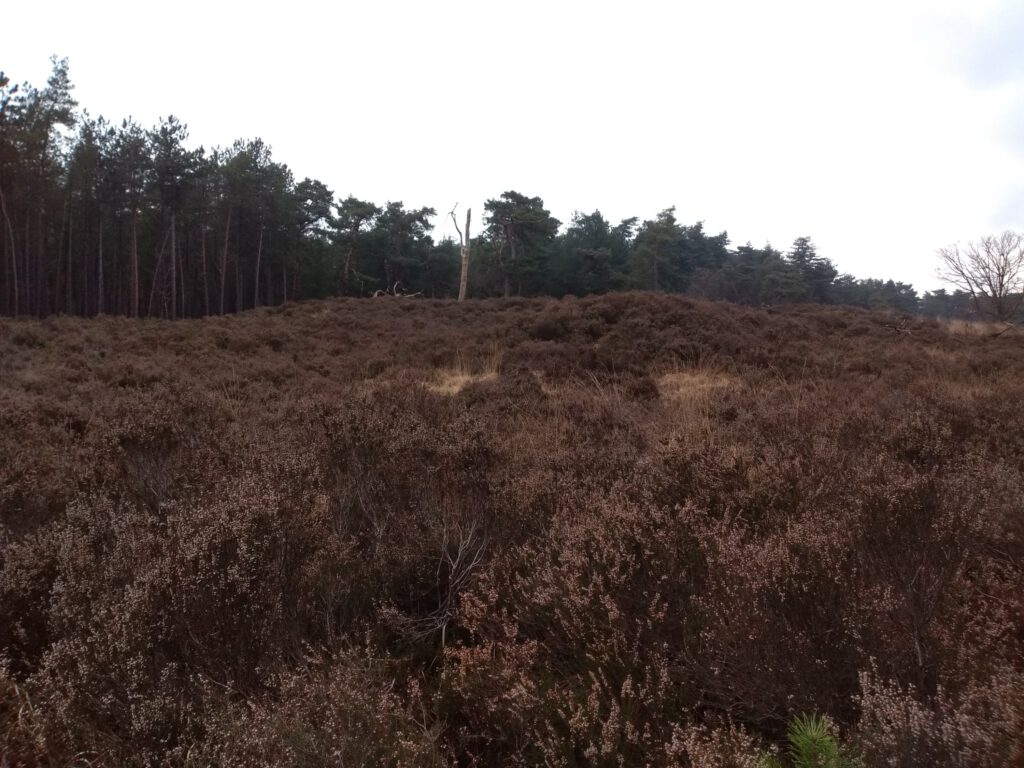
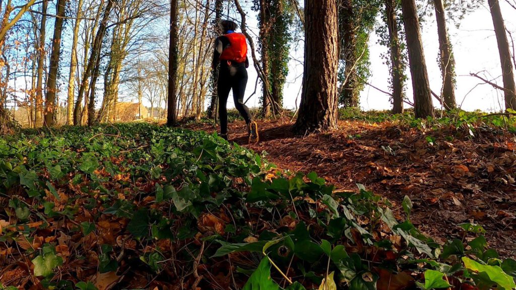
A few kilometers of running and I was already in the woods. This is encouraging, because Wouwse Plantage and its surroundings are perhaps the easiest woods to reach from home. Being so close to a train station and a city, unfortunately also meant that it was quite busy in the forest. Not only with ordinary hikers, but also with groups of children. Especially near Lievensberg, where the sand drifts and heathlands start and where there is also a tree top route. The groups form an alienating sight in these times. For them, I must have been a bit of an oddball as well: fully packed with a racevest and stopping at strange places like a dead old tree, where pictures had to be taken for the Waypoint Challenge.
As for the outfits, they don't seem all that strange here. Of course I know that Marcel Tunderman and Stella Petric have this as their home area, but I didn't expect to encounter so many other racevests. Fortunately the area is big enough and I soon reach quieter places to run at my leisure. Luckily , as I feel fatigued pretty early on in the route and then it's not helpful to chase along at the pace of others.
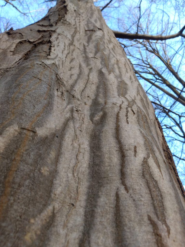
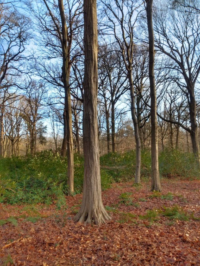
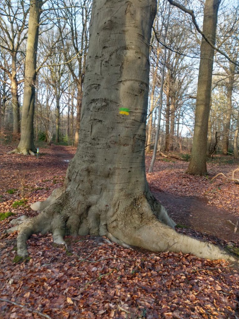
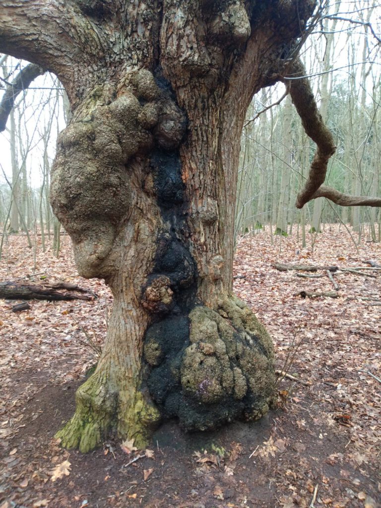
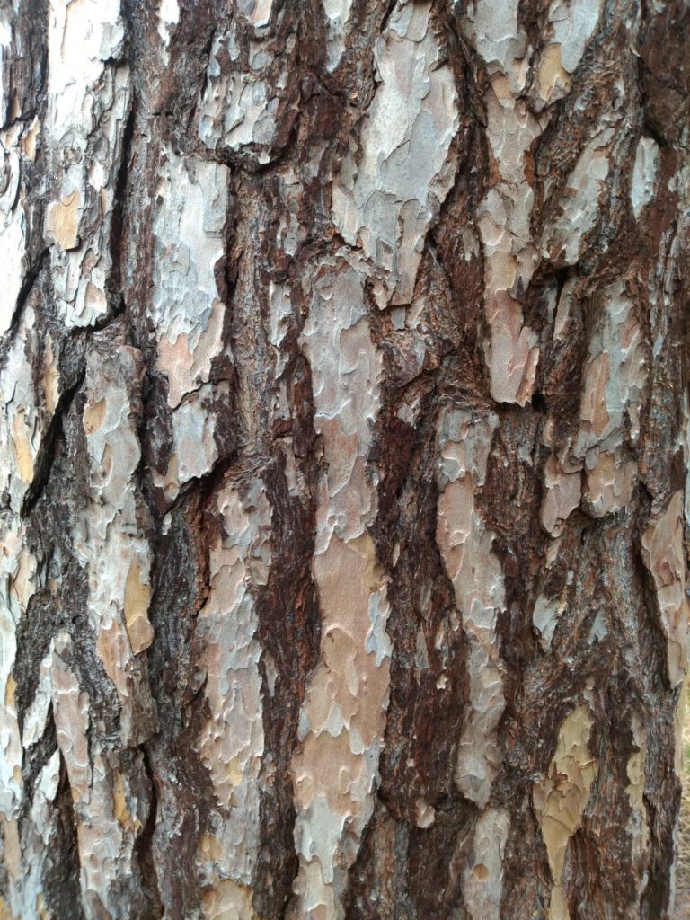
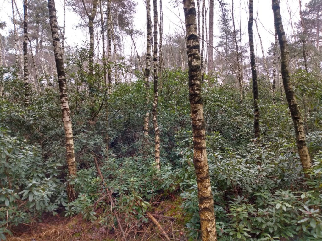
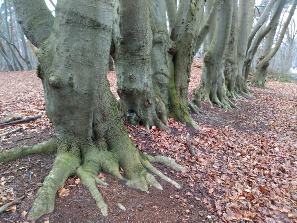
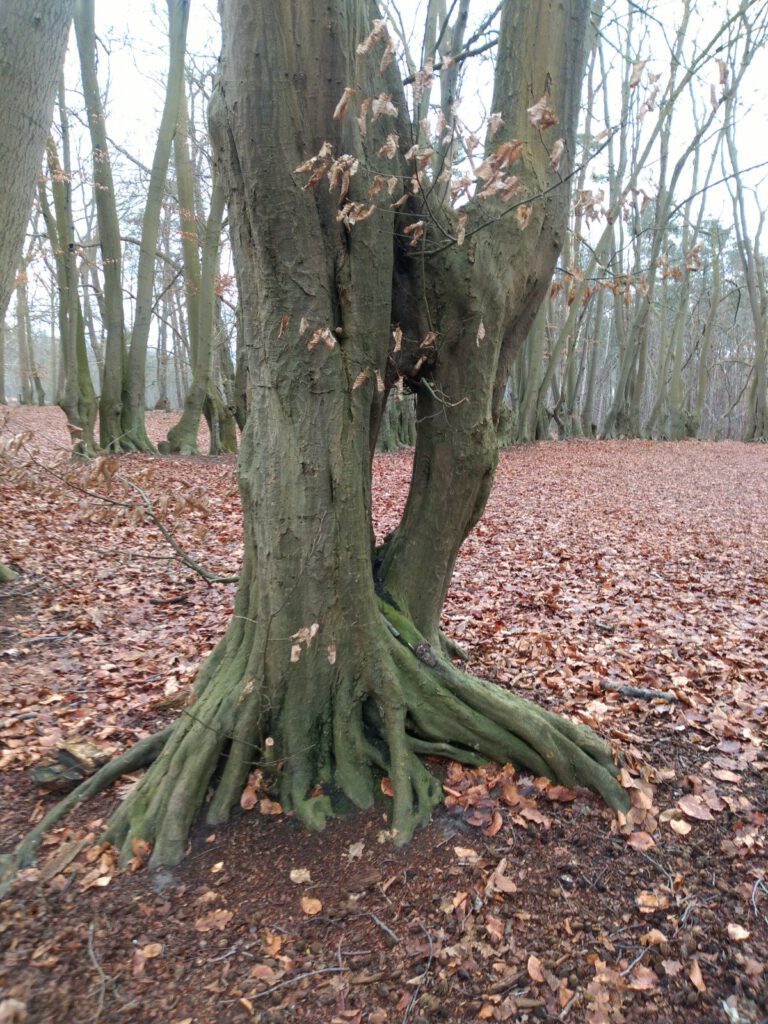
Along the way I also made my own challenge. I saw so many special trees, and of course the famous rhododendron groves, that I decided to photograph them separately. Some of the bark has such a cool pattern that I might want to use it when drawing.
Boundary posts
While running, I was regularly surprised by the map on my Garmin. Normally it is very accurate and most small paths are on it. Here they were not. Even trails that have been there for years seemed to be missing. Is that because I was in a border area? Or is it the military airbase, Woensdregt, which makes better maps in this area impossible? Occasionally it caused some confusion when several paths were close together, while only one was on the map.
In general I didn't notice much of the distance to the border. The signs already mentioned the other countries, but it took me a long time to spot the first border post. And that pole, number 246, is not even in the right place. It should actually be in the middle of the road. Well, I wasn't planning on going to Belgium anyway.
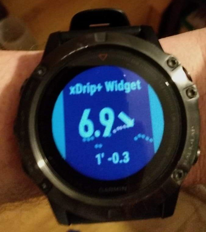
In the Brabant Wal area, I could climb a few nice hills. Always fun, but watch out for the mtb ’s. Also the variation in pace – slower while climbing – was welcome. Unfortunately, I was already feeling pretty tired here, even though I was only halfway through. Blood sugars felt good, but the Bubble was no help this time: after 1,5 hour the measurement stopped and the Bubble also thought it was too cold to pass on new data.
Degraded form
VW91 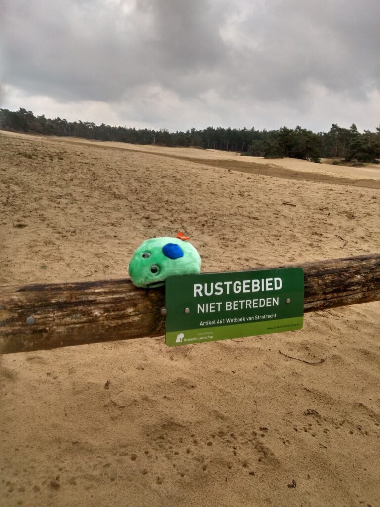
VW90 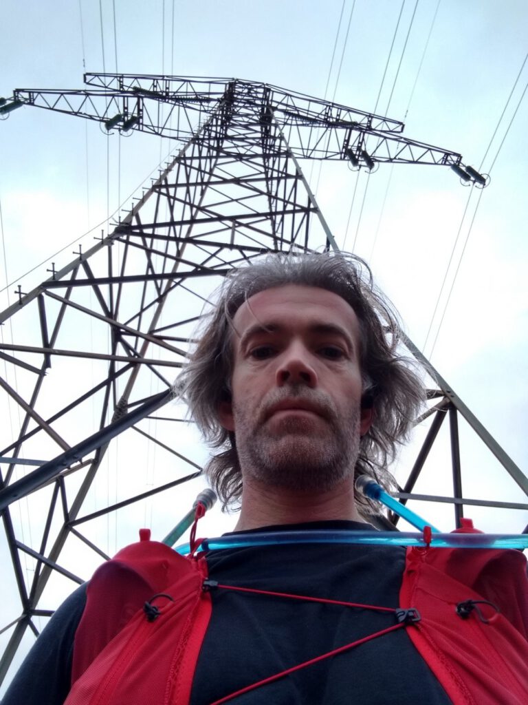
VW85 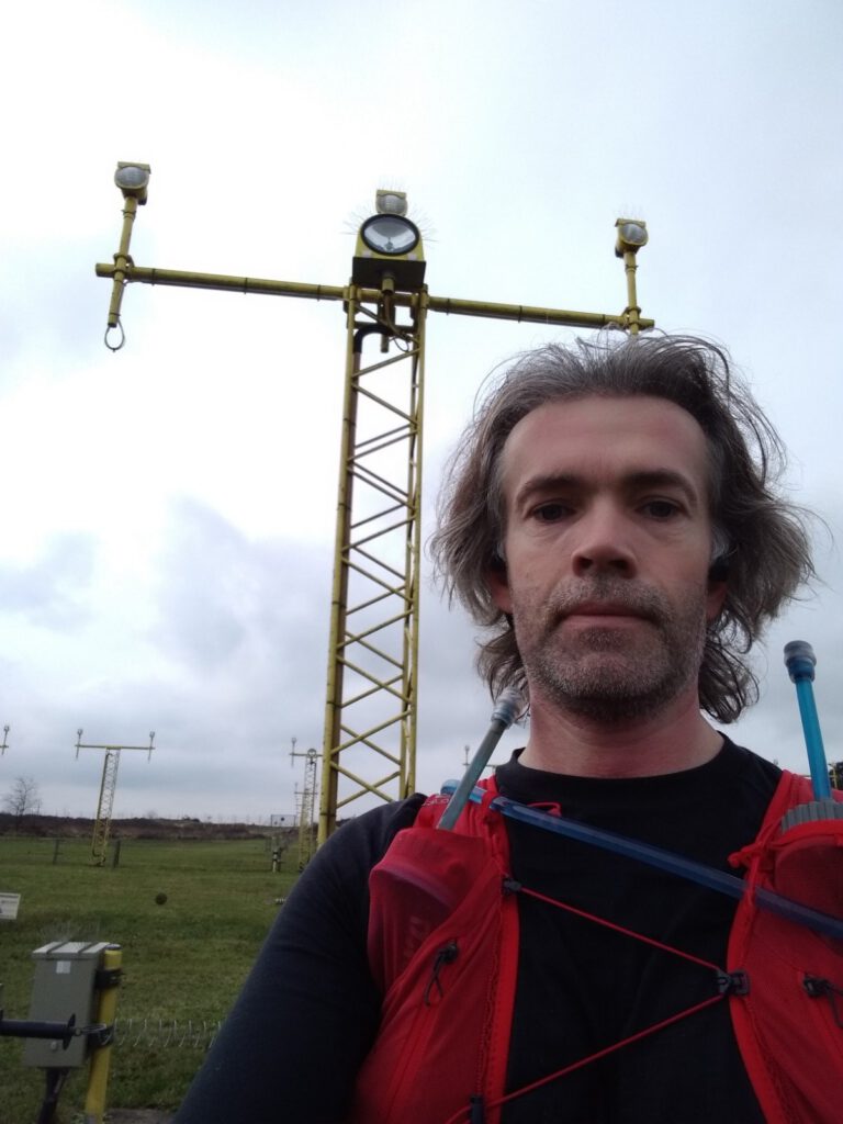
VW86 
Most of the way back was over the heath, past some nice little fens and the airforce base. For a moment I was surprised that the lights of the base were not a waypoint, but actually I was way too tired by that point. Because of busy work and not yet having completely recovered from the long Winter Trekking I did two weeks earlier. And also a because of the Bubble that sometimes woke me up at night with its alarms.
Halfway back I just wanted nothing more than to be home again. Despite the beautiful surroundings. I felt my form slipping and with that slipping form came the aches and pains. The last bits were hard.
Fortunately the train was already waiting for me when I arrived at the station. When I have some energy again, I will definitely go back here to comb the whole area, even though the Waypoints are aleady in the pocket.
In the end, running with the wrong form meant that my ankle was sore for a few more weeks. And it resulted in me not finishing this post earlier. In the meantime, rest and extra strength exercises have had results. Since I have run 30 km in the snow again without any pain, which I will tell you about in my next post.
Well done.
BoZ is my hometown. We also have in this area every year (if there is no corona) the Brabantse Wal Trail (Berry Snoeren/Monica Dekker, 15/25/35/50 and sometimes 75/100 km. The predecessors of Footprint also set out many routes there. It's true that many trails are not on the map. The Garmin Fenix map is not the best, but also Freizeitskarte or OSM and Google maps miss some trails.
I think there really is a reason behind the lack of paths, because it is really striking. In itself, this is more common at military properties.
According to DC Rainmaker, Fenix's map is based on OSM and supplemented with an extra layer by Garmin (bus stops, restaurants, golf courses and a heatmap for frequently used routes).