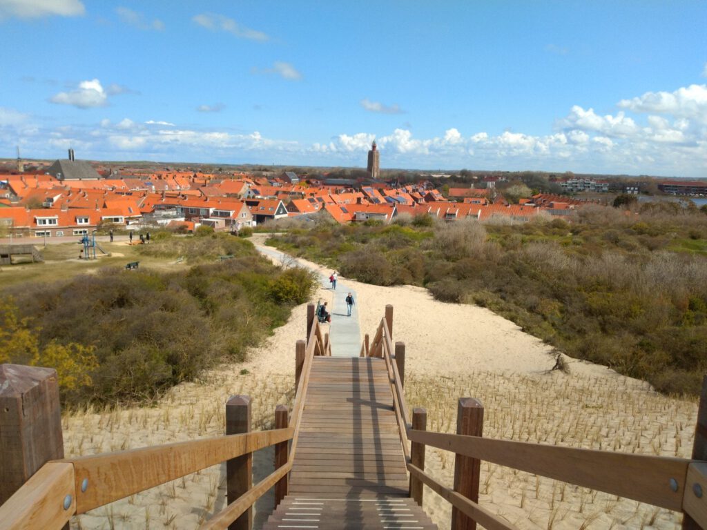
Beach and dunes always intrigue me. That's why I was pleasantly surprised that a trail map for the Zeeland island of Walcheren was published. Is it worth the journey?
Last sunday I really needed a good trail run. The week before I ran 37 km on asphalt around Delft (something about the nesting season, maybe that story will follow) and the long run before that was a 30+ km through the bulb fields, also mainly on asphalt. After those kinds of runs I often get cramps here and there, I can feel the muscles in my calves and feet being tight. Add to that the fact that I picked up the Me-Mover on King's Day – it was mega stressy after that fall, as it's a 25 km trip from Ridderkerk – and that I received some very bad news about a sick colleague. In short, I needed to relax physically and mentally after the past few weeks.
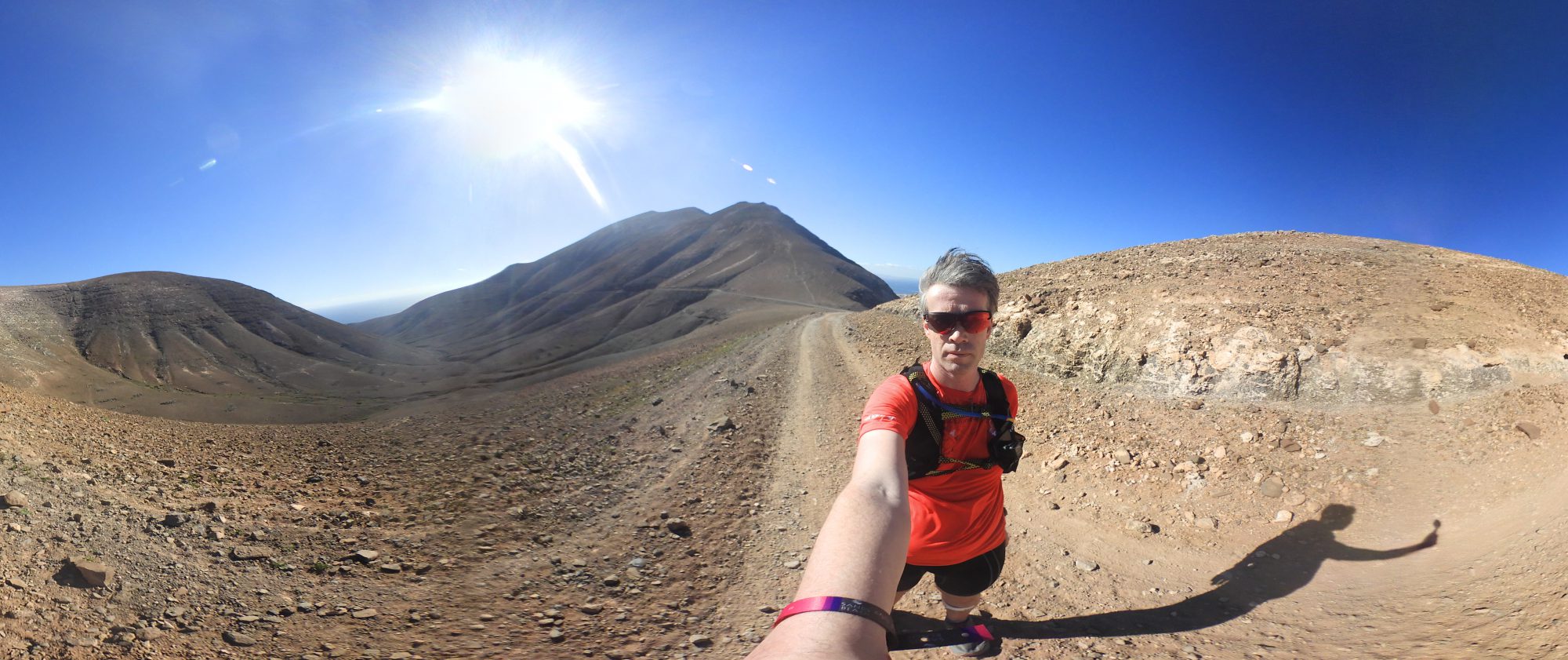
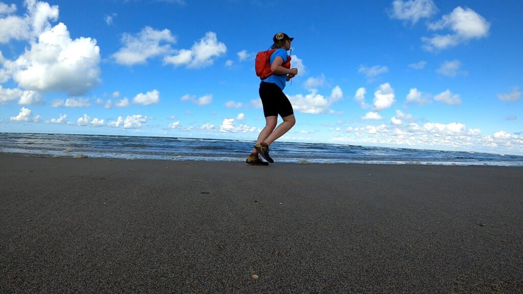
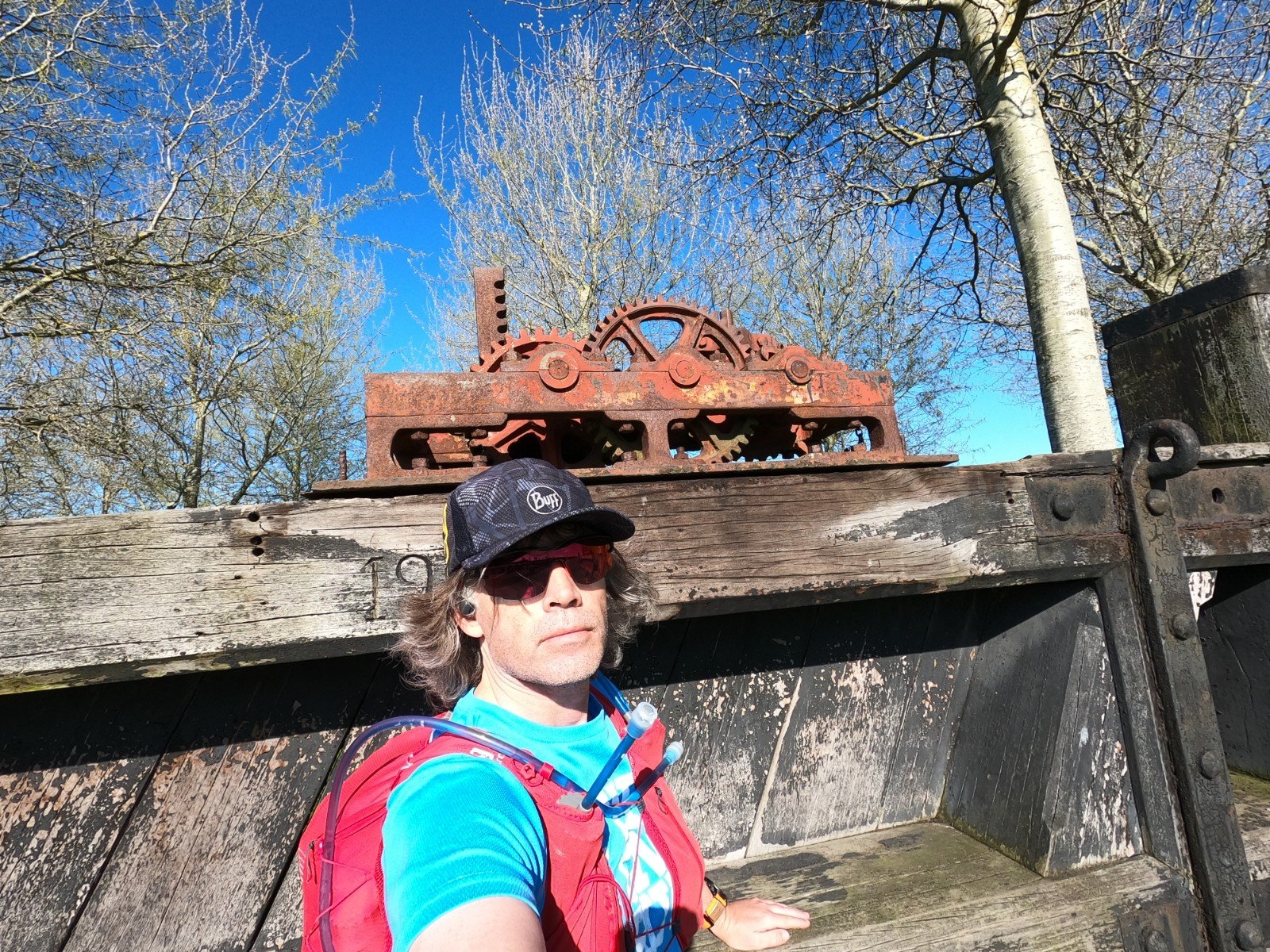
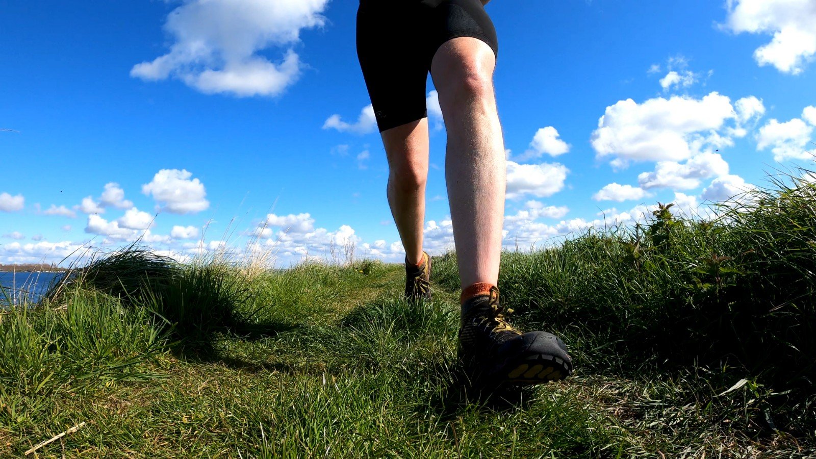
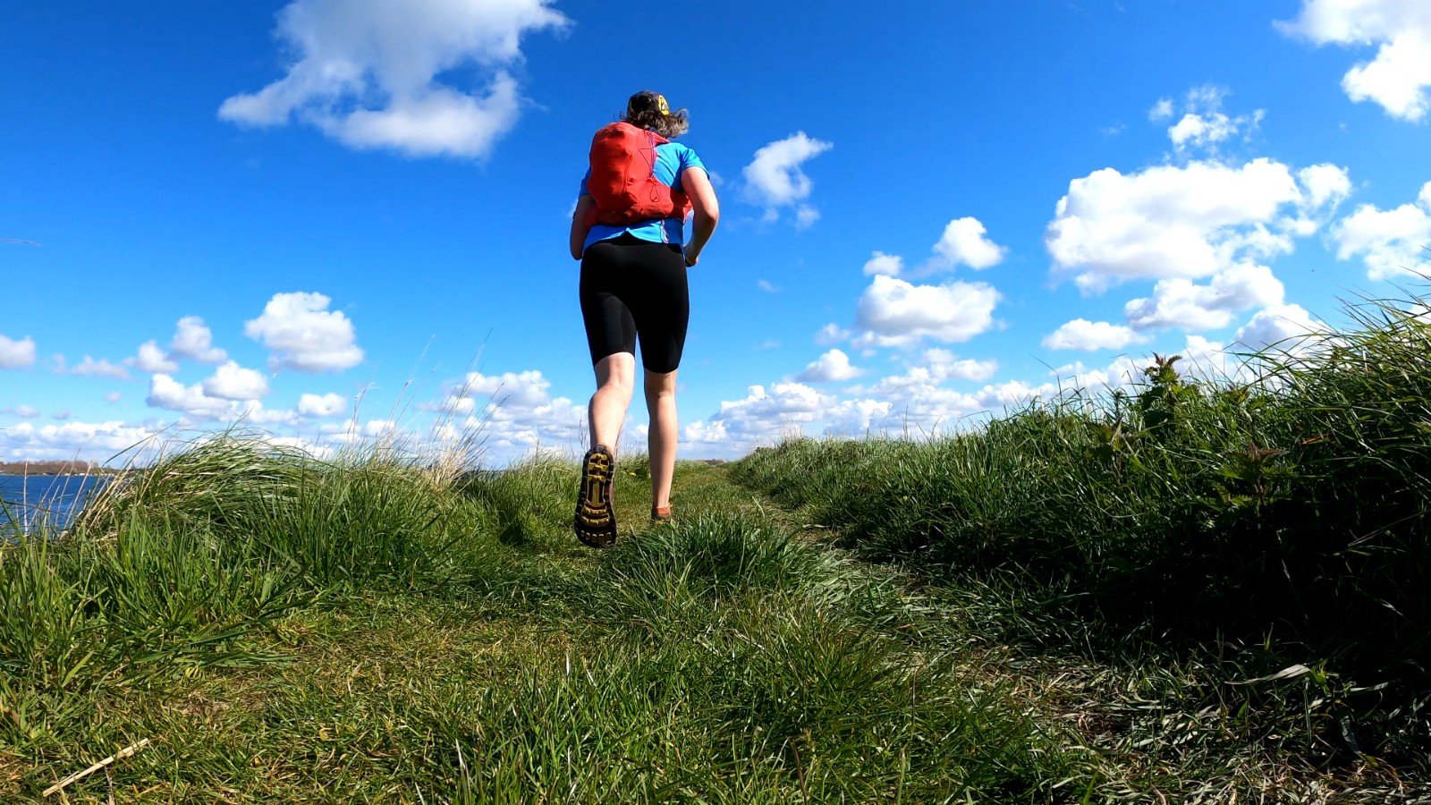
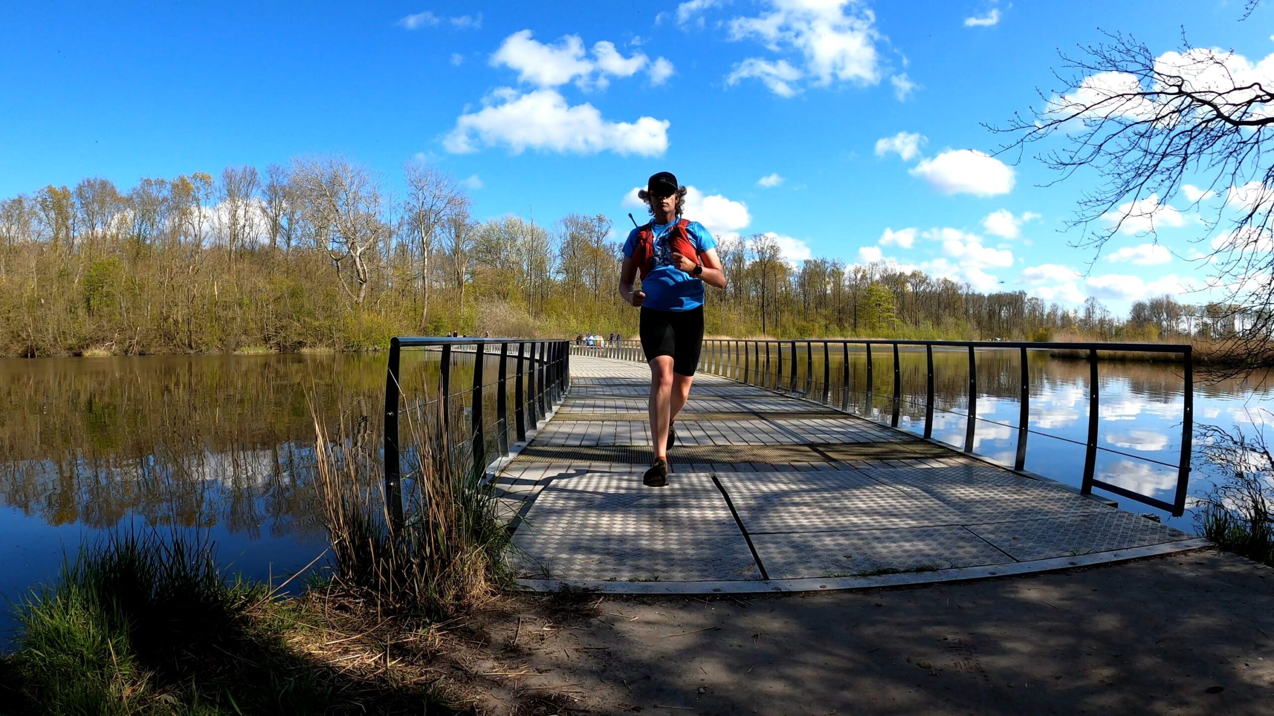
The good news is that I just received a new pair of Altra Superiors to play with. A colorway of the 4.5 (Yellow/Port) that wasn't going to be available in The Netherlands at first, but that Anthony from Altra Running Zeeland was suddenly able to order a few days after my initial request. It was a good opportunity to try a trail from the trailrunning and hiking map of Walcheren which I had ordered from Runderground. Because of the public transport the Round around Walcheren (route 5) seemed a good choice. With a little shortening from 65 to 50 km I could run it from Vlissingen station to Arnemuiden station.
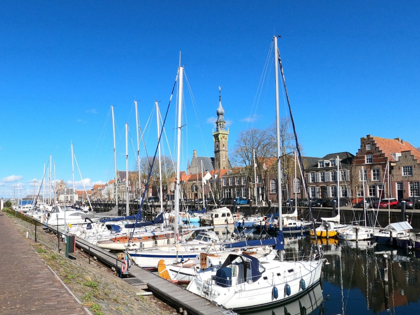
Vlissingen
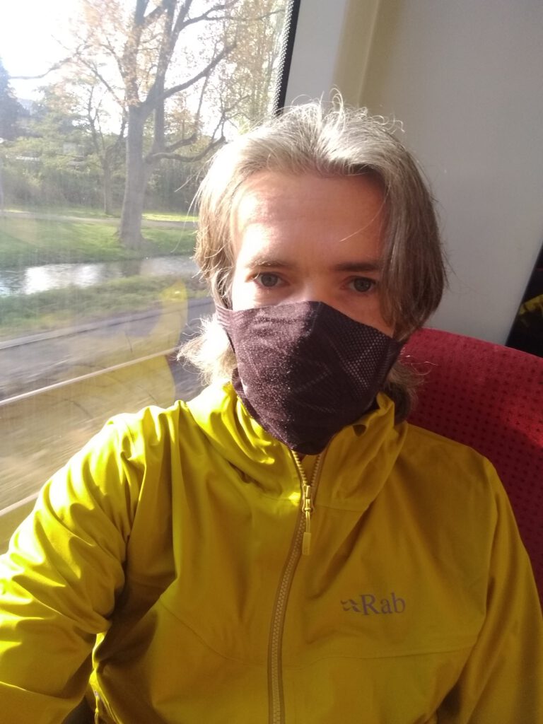

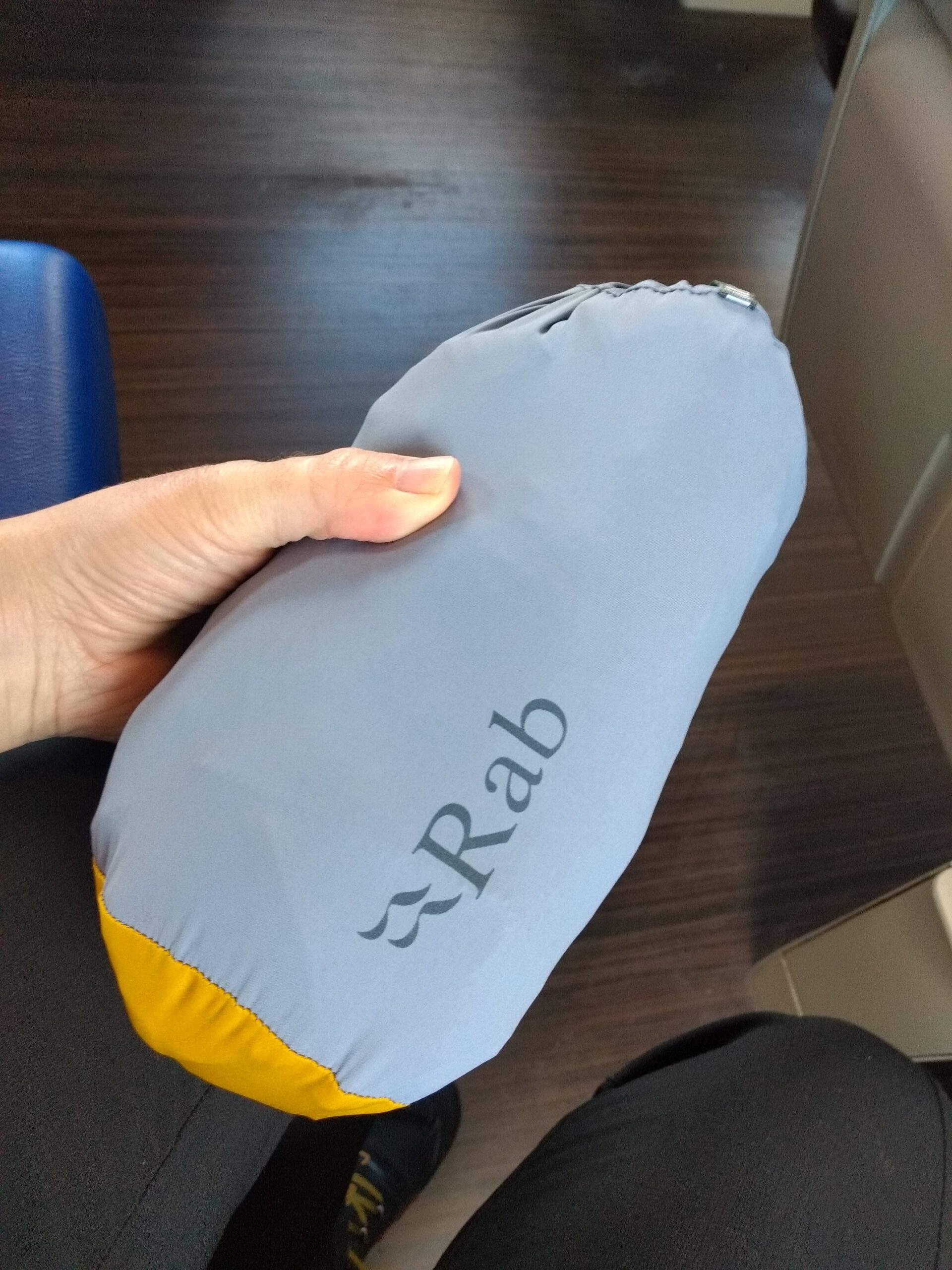
New ultralight Rab travel jacket for summer. 


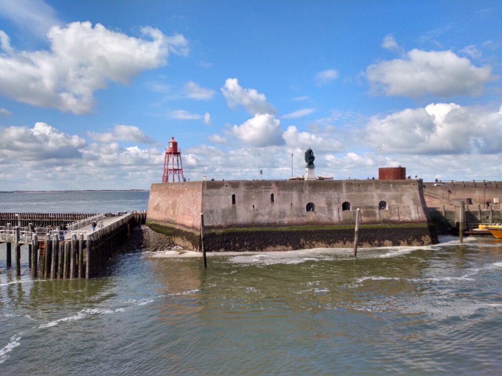
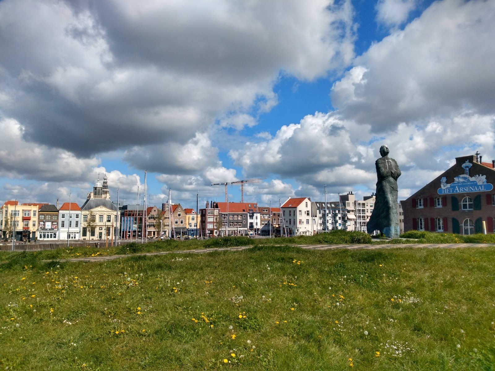

It seems to be so far to the endpoint of the intercity train that I often take for work. But in reality, the whole trip only took about 2 hours because there was only one change. It is therefore a bit of a miracle that I had never been to Vlissingen before (where many of my shoes come from).
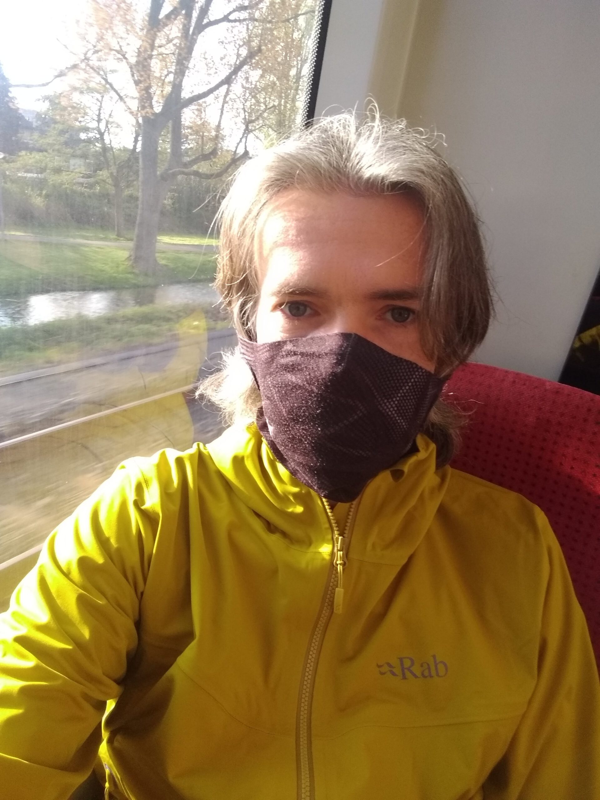
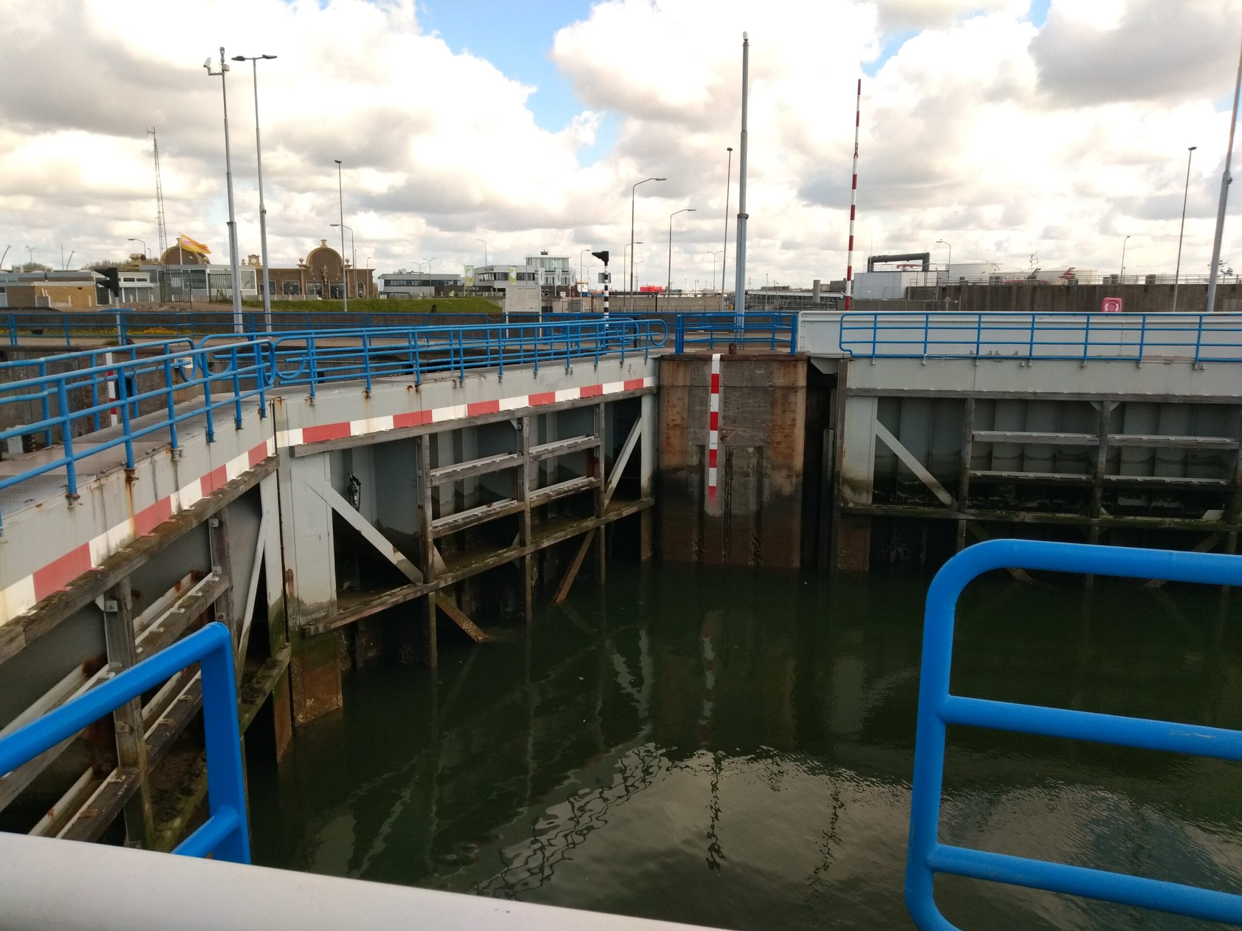
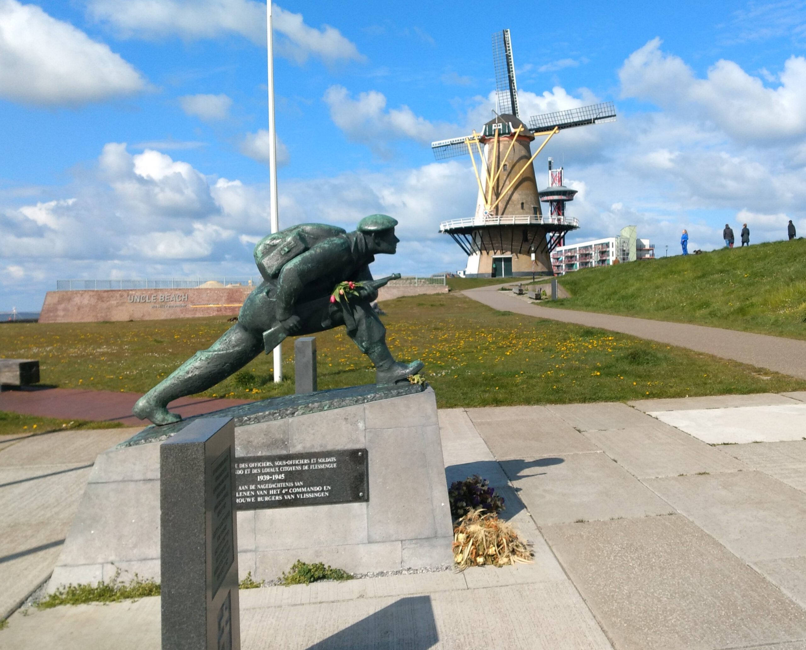
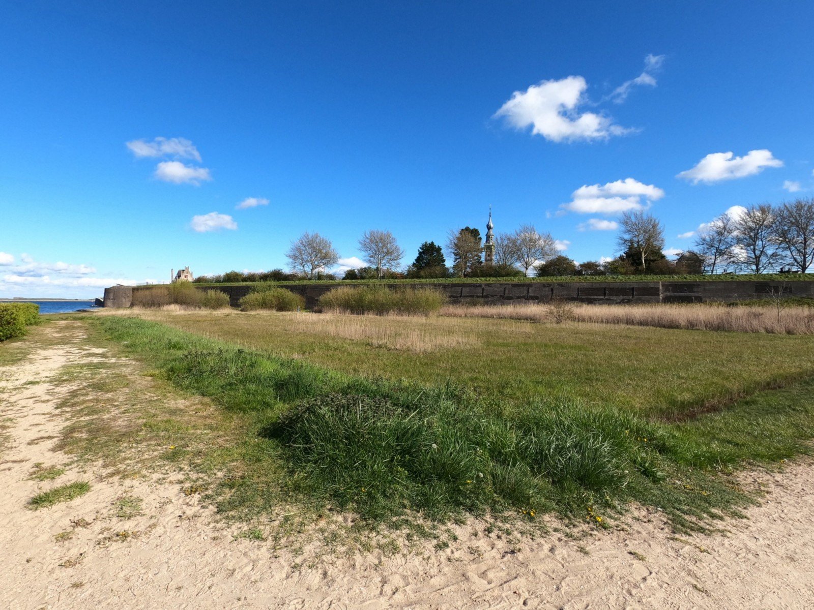
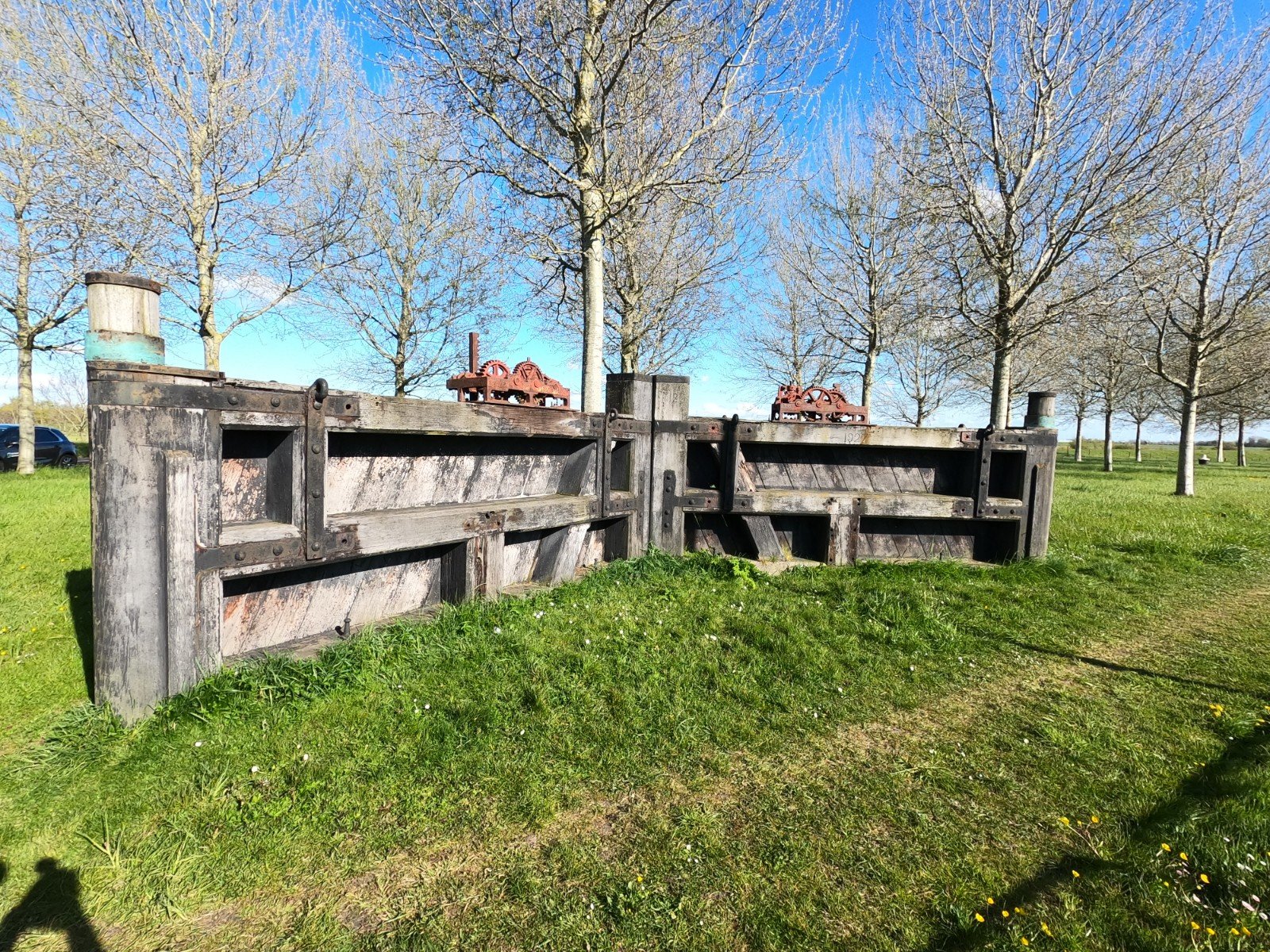
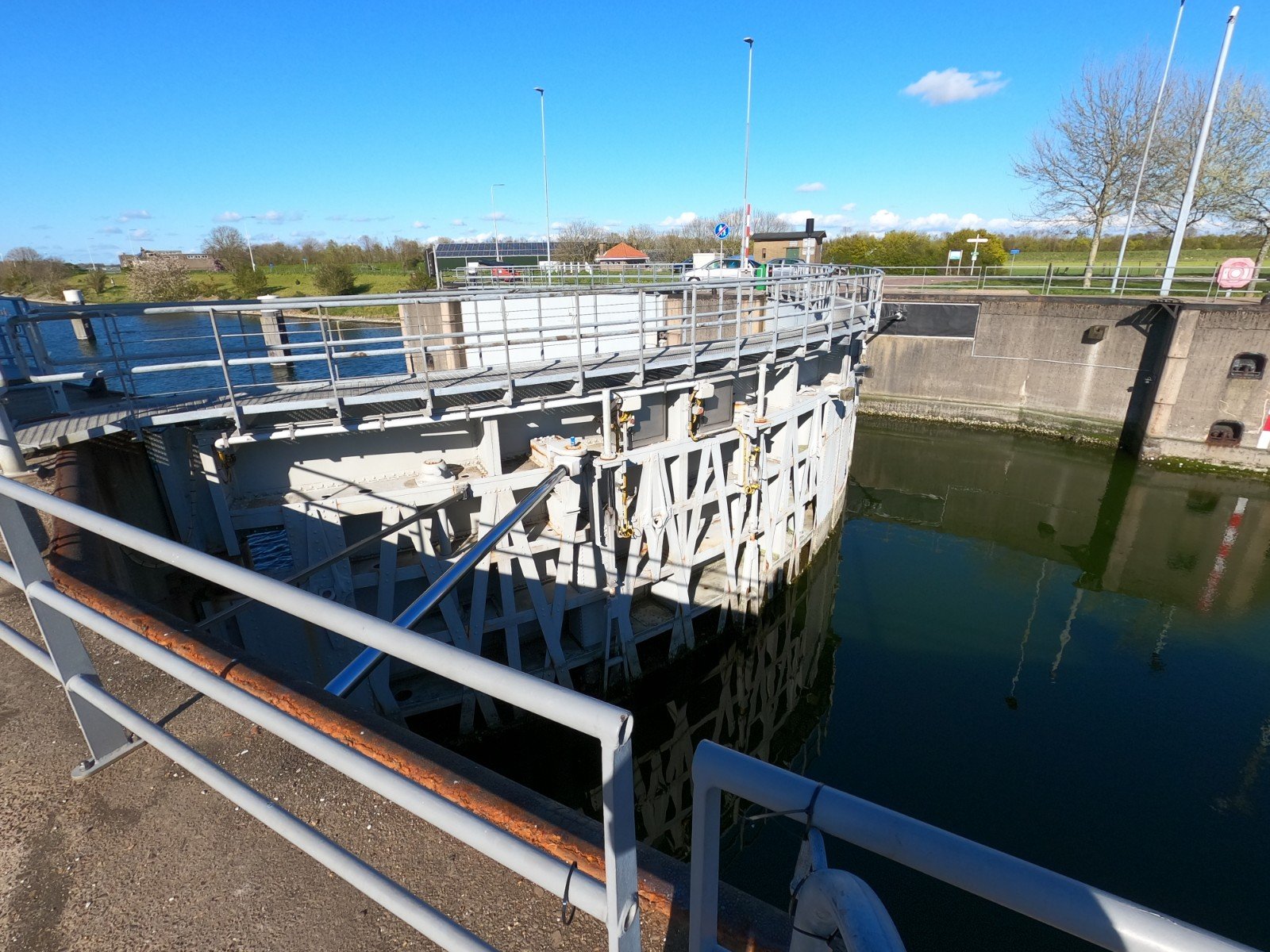
At 10.39 a.m. – the earliest train – I got off at Vlissingen station, from where I could already see the sea. I just had to cross a large sluice gate and I could start my tour along the coast. However, I soon found out that I had forgotten something: after the first 1.5-2 km I suddenly saw my watch counting down to economy mode… oops I had forgotten to officially start the activity. Too bad, because I will participate again this year with the Great Virtual Race Across Tennessee. Fortunately the windmill, the sea and the views on the historic town of Vlissingen with its fortress soon made up for that.
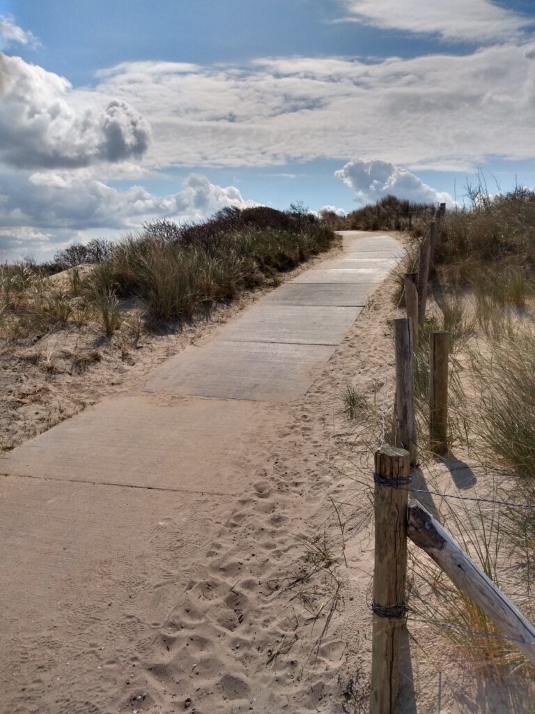
Concrete slabs
The first part of the route was mainly asphalt and a small stretch of beach around Vlissingen as expected. Immediately after Vlissingen, I was led over a sandy road for a few hundred meters and then I had to continue via a bicycle path, even though I could see some dirt paths next to it. Were they not good? Or had I messed up something on the route?
On the path I also met a group of club runners. Funny enough, they ran almost exactly my endurance pace. I didn't expect them to, because my pace was low due to the distance, but of course they also train quietly sometimes. At the long stairs up the dike, I was even tempted to run a little faster than planned in their wake. Then we ran onto the beach, the only unpaved route, and my watch started beeping.
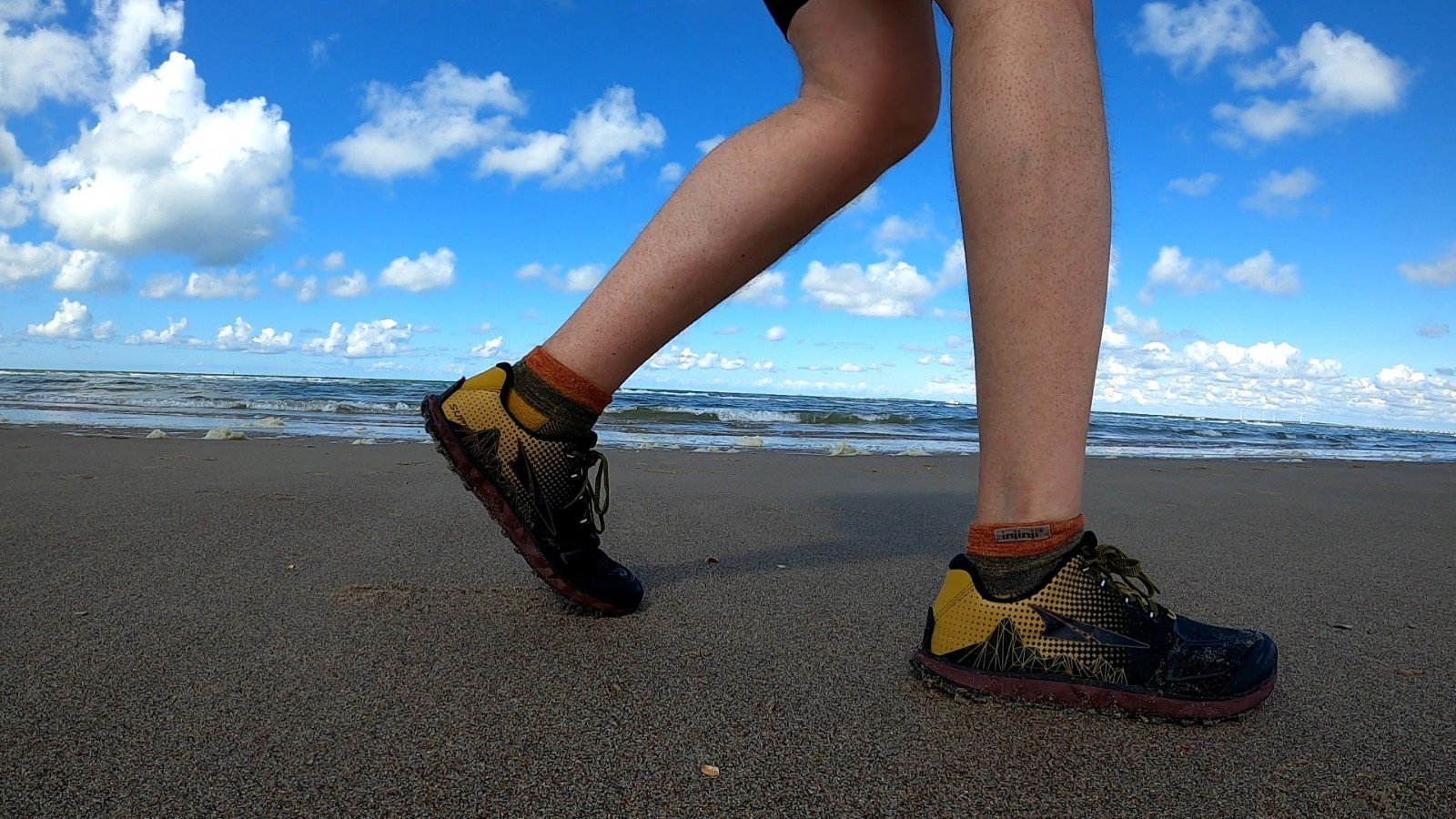
Apparently I was supposed to follow the bicycle path on top of the dunes. A path consisting of concrete slabs. A challenge because of the continuous ascending and descending, but disastrous because of my new shoes and the earlier cramps. Beforehand Komoot had said hardened path, and I assumed this would be gravel or shells. Not so. I descended to the beach a little further on to be able to feel the much needed soft ground.
F(riendly) hikers
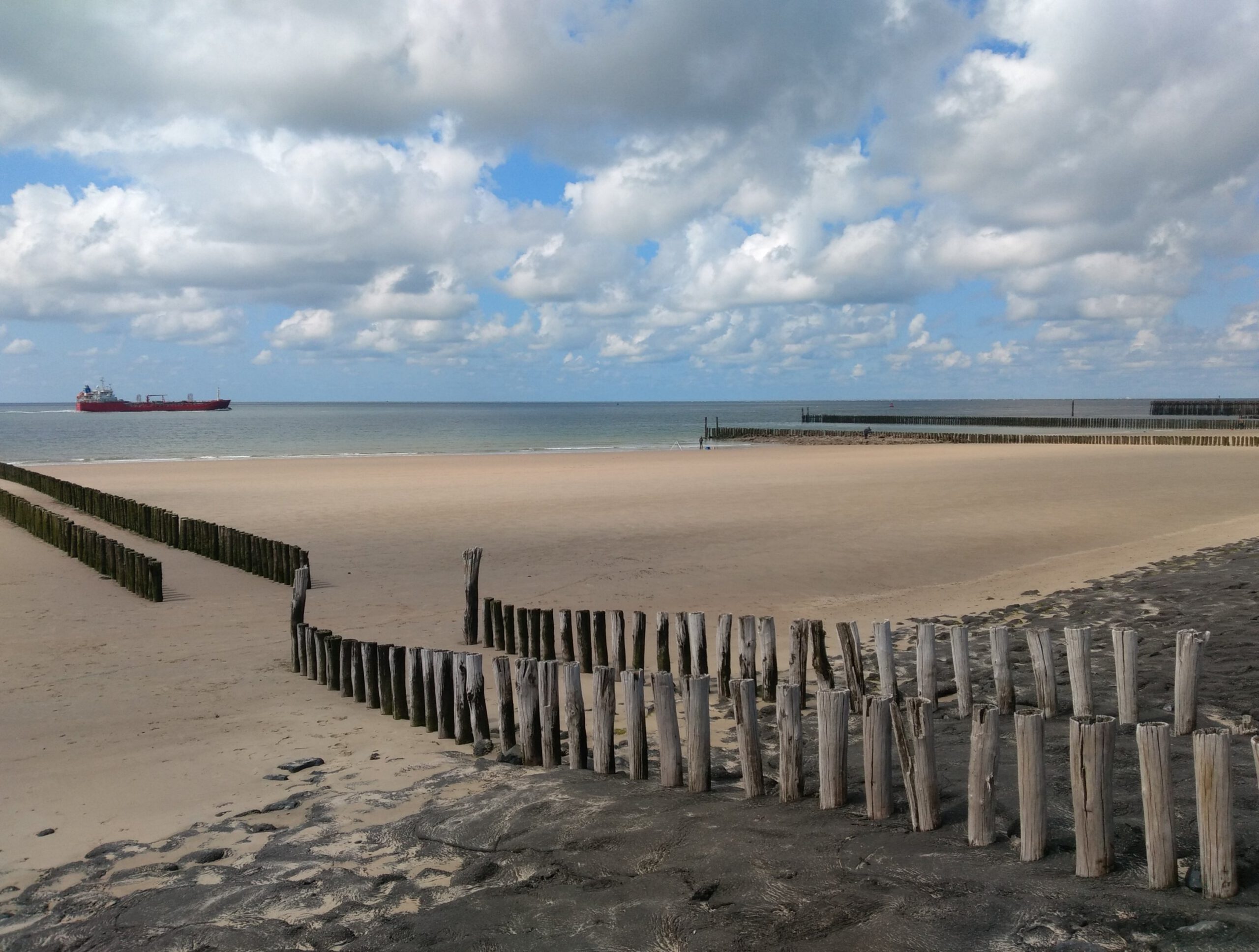
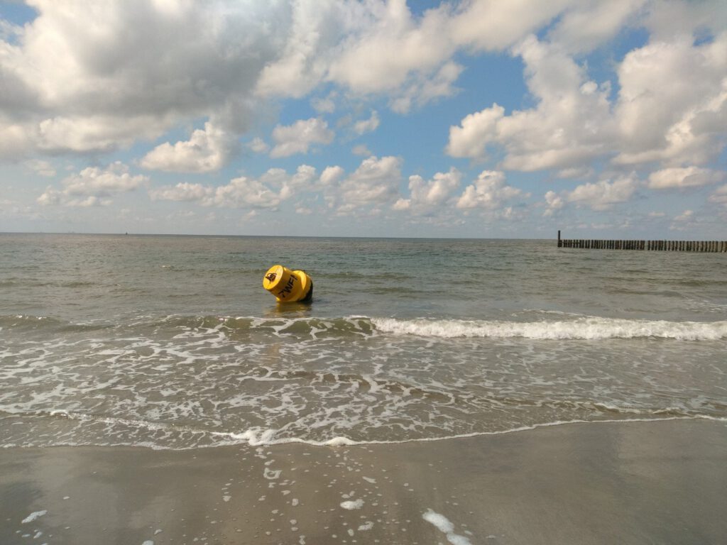
The beach felt a lot nicer on my feet. I wasn't running very fast though: every few hundred meters there are large rows of wooden pilings to prevent the coast from eroding. Although it looks very nice, it causes problems while running. They are full of sharp cockles (I was well scratched and bloody after this) and it is often only possible to walk between the posts at a certain number of places with a backpack. Don't forget that in my backpack I have a foldable jacket and stuff for public transport plus, as a diabetic, I have enough medical kit and food to get me through the day.
Somewhere it gnawed at me. Now I was running a long way from the actual route. What if it turned somewhere? Or changed to unpaved again? From the beach I could regularly see people walking on top of the coastal path and I did not see any cyclists. A few kilometers later I decided to have another look to see if the road was better this time.
Once on top of the dune that turned out to be a mistake. The path still consisted of concrete slabs. Somewhat annoyed I tried to run a bit of the sloping dunes. But soon the road surface wasn't the only thing that made me dislike this trail.
As I ran up the steepest slope, an older couple approached me. Woman neatly dressed with big glasses, man completely meaningless accessory. I ran on the left side of the road and had to use quite some force to get up. They walked all over the path. And refused to make way for me. In fact, they kept walking towards me and I could not go any further to the left, but also not to the right where the man was walking. At the last moment I flexed my muscles a bit and brought my shoulders to the woman's chin level. Only then did she step aside, with only 1.5 m to go. And she started to scold me. This was already the second elderly person in a few days who thought she owned the trail. What is it with people these days?
Storm and turmoil
After this meeting there was restlessness in my head. All the irritation and emotion of the past weeks were bothering me. Fortunately the next hikers I met all greeted me nicely and left room to pass on the left or right side. But I had had it. With the route, with the people, with Zeeland. So back to the beach I went.
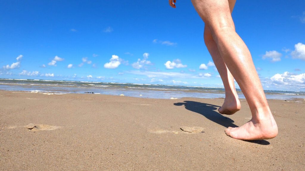
Het strand heeft altijd iets kalmerends. Er staat een zachte bries, er is de weeïge geur, de zacht dempende ondergrond die je dwingt vlak te lopen – elke tegenstribbeling graaft je in – en dankzij de vrije horizon is er weinig om je af te leiden. Hier is het einde van de wereld. Maar zelfs dat was niet voldoende, af en toe schoot er een adrenalinekick in het lichaam, balden de vuisten en ging de snelheid erop. Ook het weer was onstuimig: het zonnetje verdween en het begon te regenen, overeenkomend met mijn gevoel. Uiteindelijk hielp het om wat muziek op te zetten en die het ritme te laten bepalen. En zo liep ik op de playlist ’technobunker’ door tot het puntje van het schiereiland.
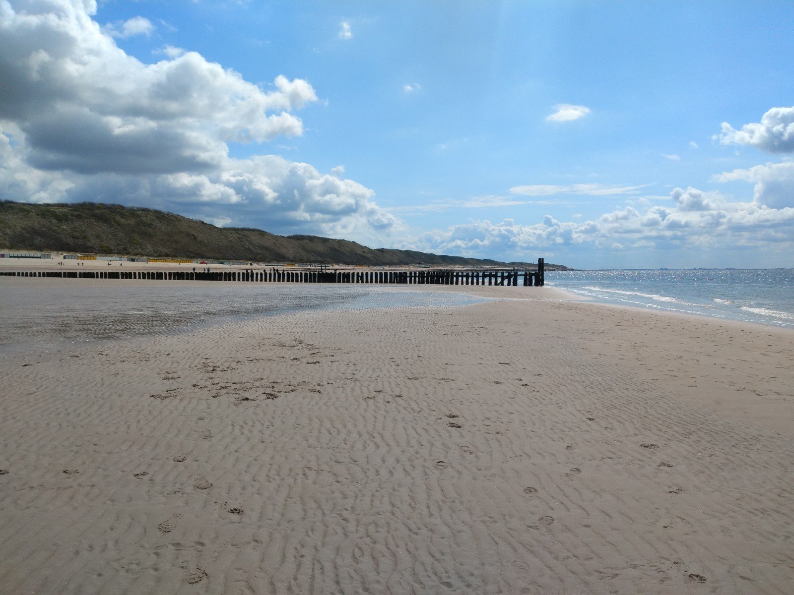
Once around the corner of the island, the landscape changed rapidly. Gone were the wide beaches with their rows of pile heads, replaced by an asphalt path and minimal beach. This time there was a hardened gravel/loam path. I was already starting to doubt the whole enterprise by then as my lust for this trail had disappeared. It was a lot busier here too, fortunately with hikers who were cheerful, greeted me and made way for me. The irritation I had earlier was slowly washing away.
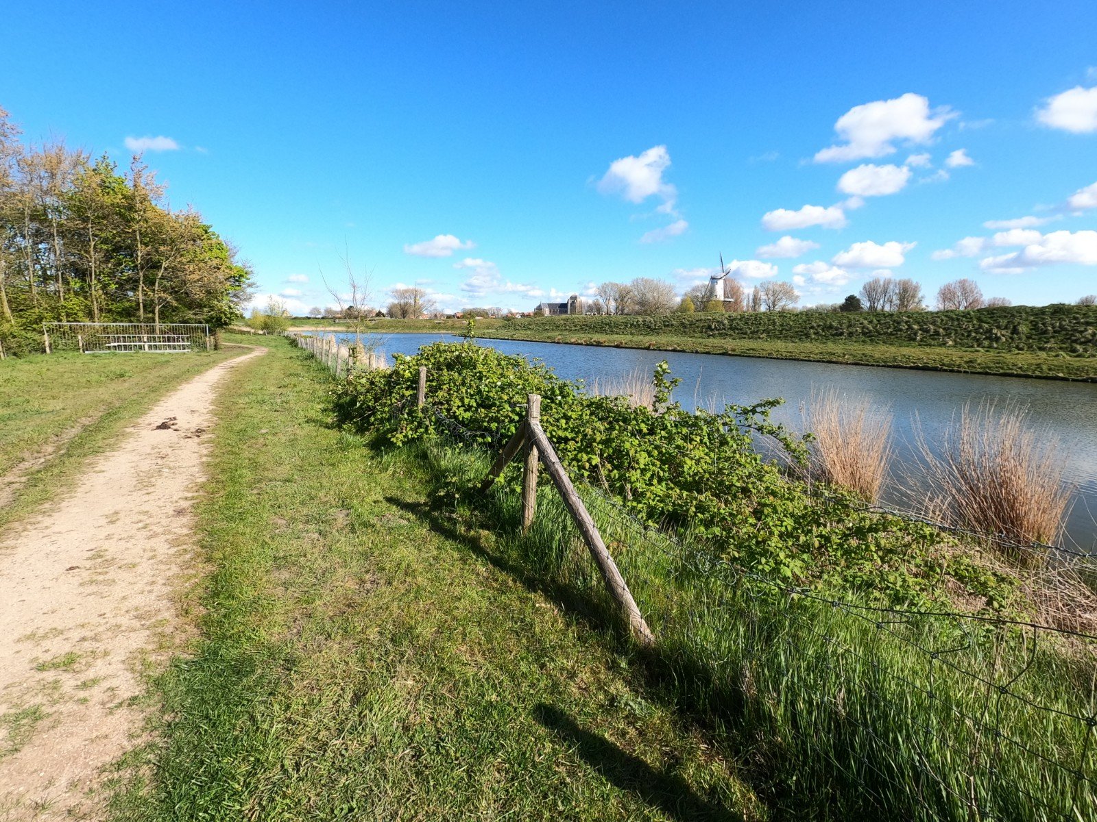
Vrouwenpolder
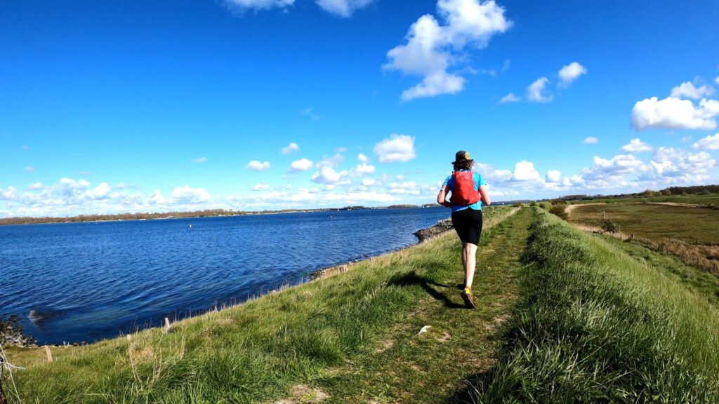
From Domburg on it felt more familiar again. Here I could continue on the beach, the same beach where I walked last year. Of course I couldn't resist to take a half hour break for a dip. That was very nice. By now I had run about 30 kilometers and I felt the earlier road pains again because of the hard paths. By lying down in the cold water and then warming up in the sun, the tension went away from the muscles and a little later I could run a lot better again.
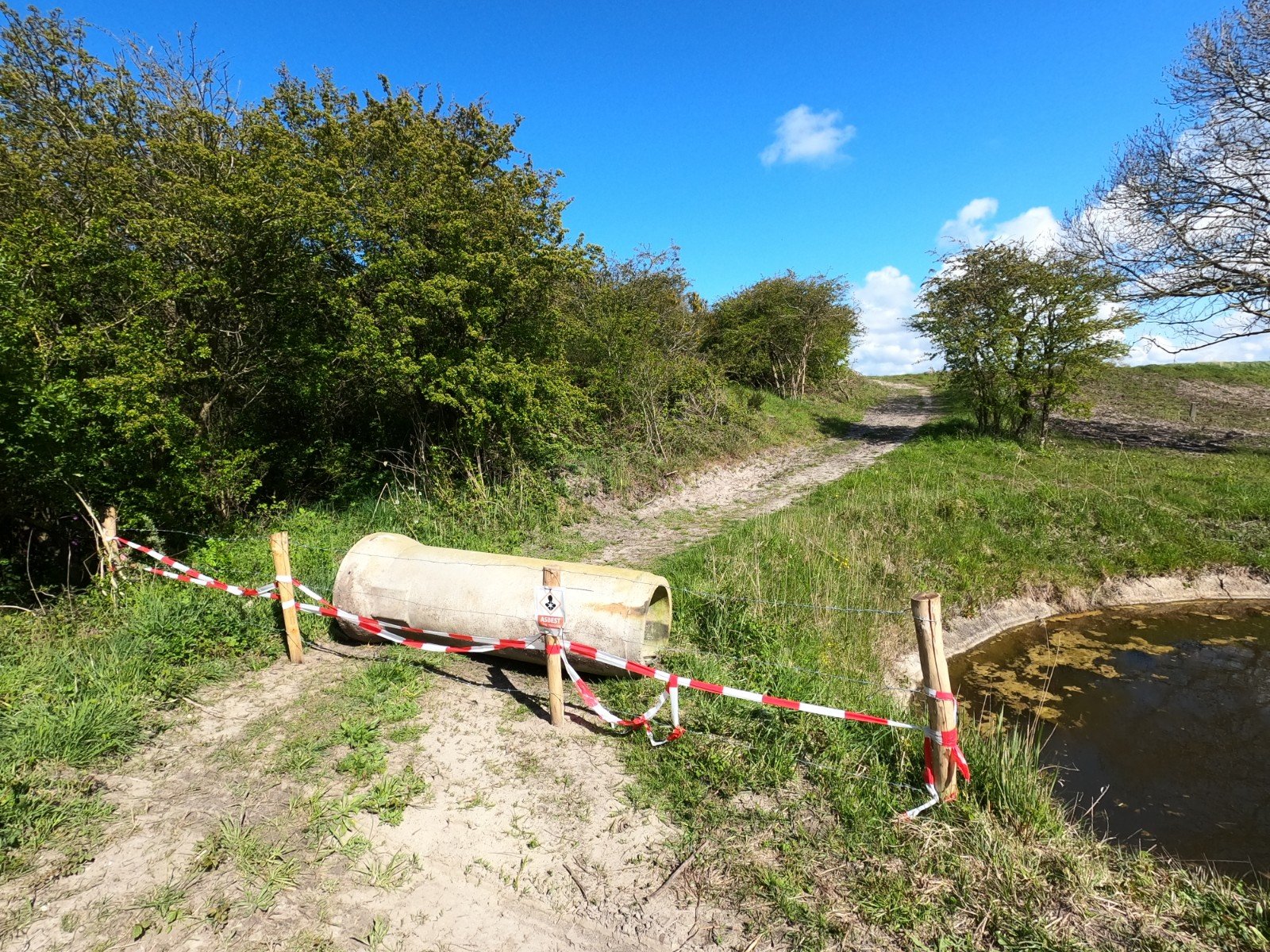
To be honest, I was also looking forward to the polder area after the Vrouwenpolder. There should be a nice piece of unpaved road there, I had seen that when I was on holiday in Zeeland. But it was not to be. One stretch was closed off by a large concrete pipe: closed off because of asbestos. But when I came back to that path a little later, it turned out to be an unpaved stretch of less than 200 m, which continued on an asphalted cycle path.
I was so fed up with this route. I took out my phone and let Komoot draw a line on the fly to the railway station in Arnemuiden. It turned out that this route was largely unpaved. It even crossed some long distance hiking paths that were there. And it went closer to the edges of Walcheren than that cycle path. Had the route-makers been sleeping? At the moment I assumed I had made a mistake while making small changes to the route earlier, but at home it turned out not to be so.
Thank you Komoot
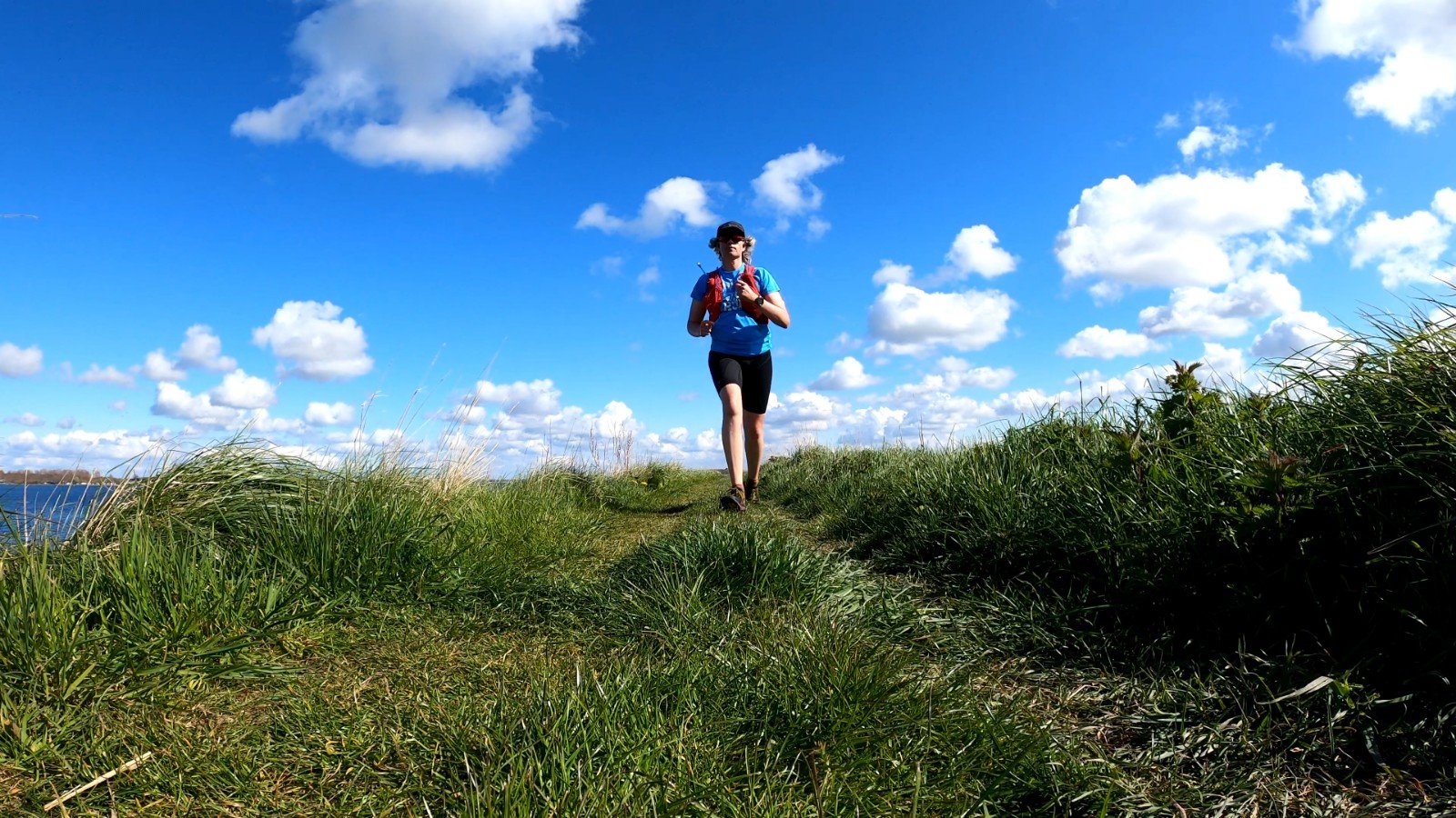
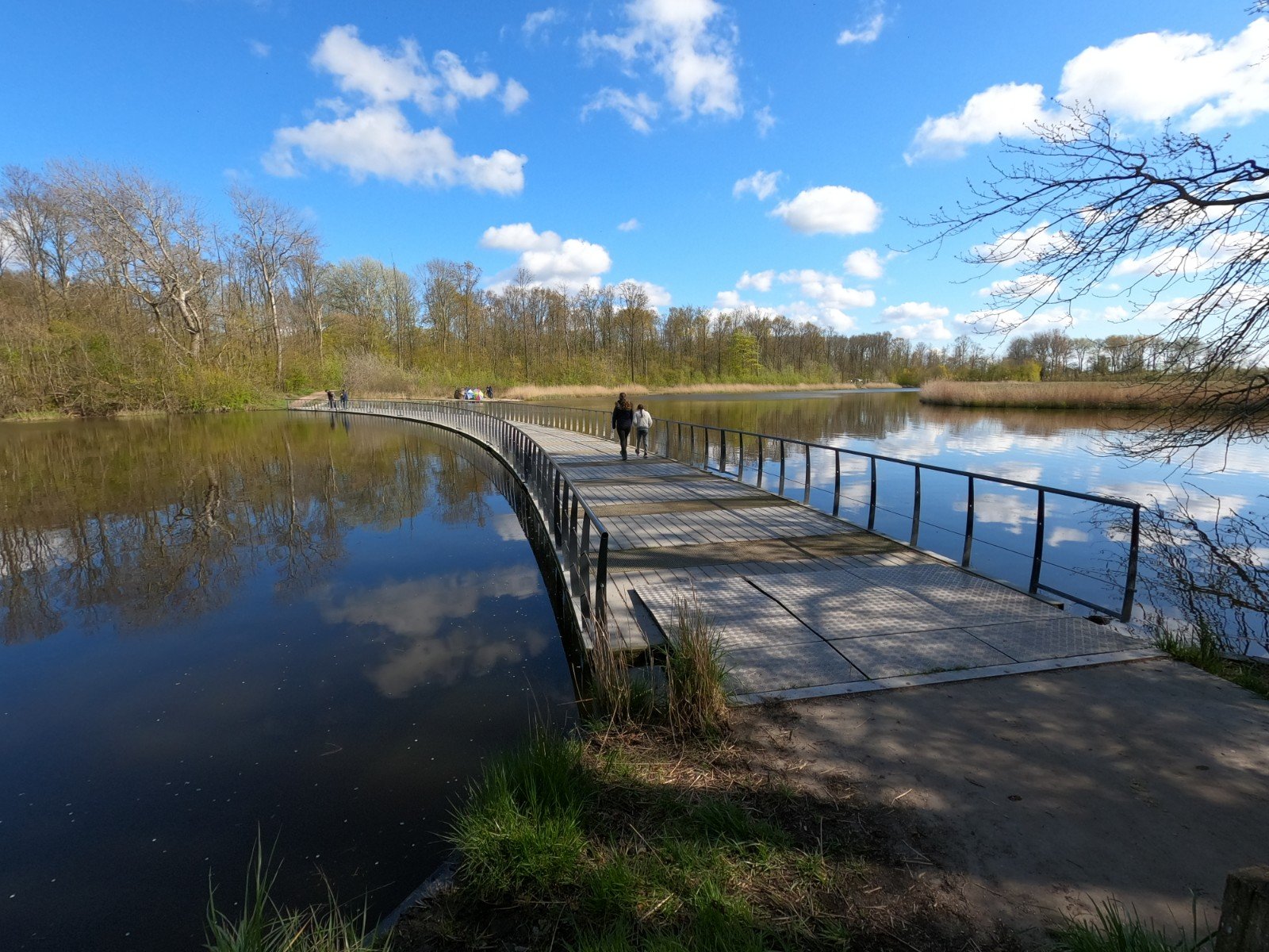
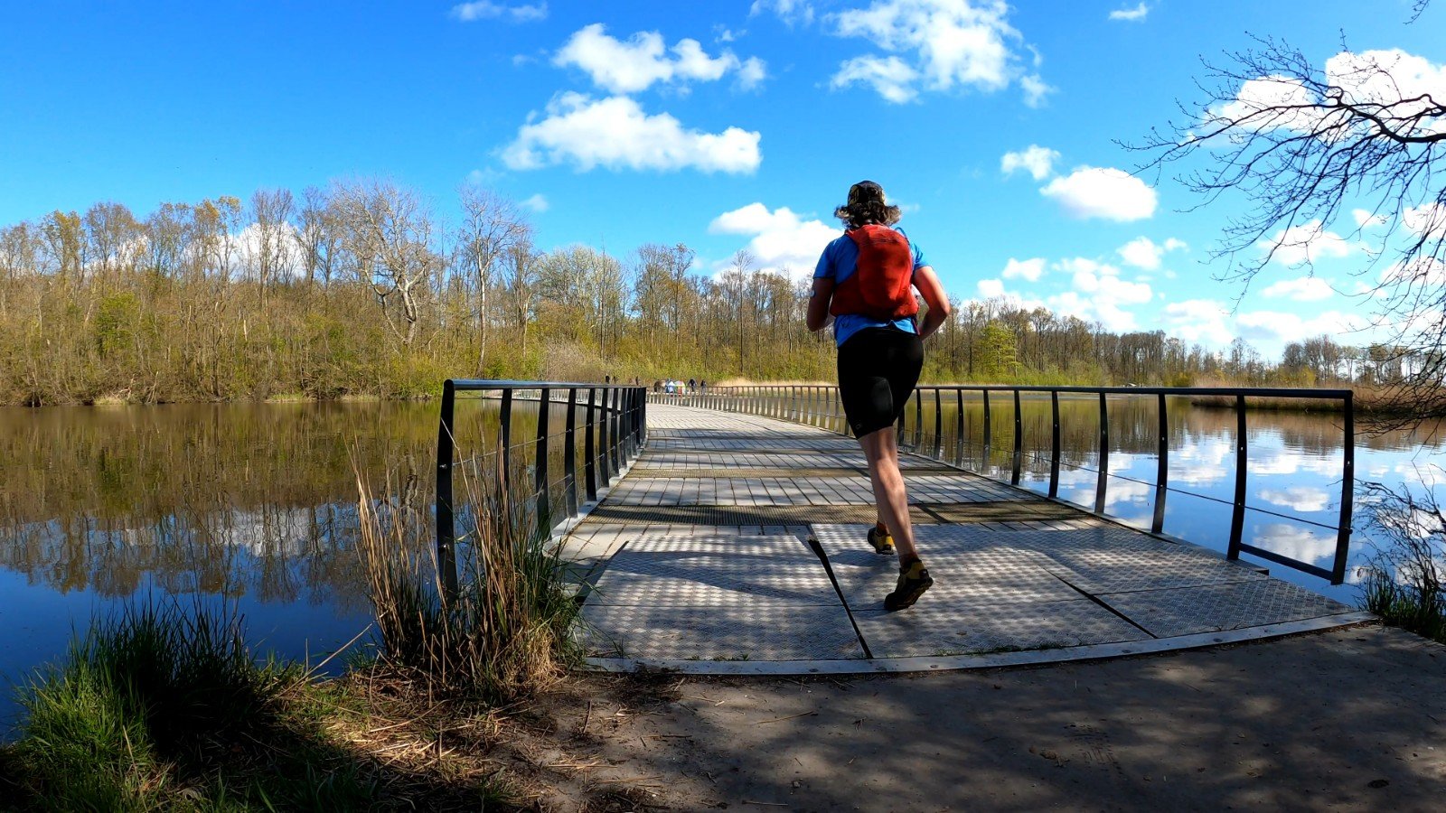
Komoot made me feel like running again. I ran over a beautiful green dike. Flowers all around me. A view of the reclaimed lake on one side and the lower lands on the other. A little later I came to the Veerse Bos, where a surprising pontoon bridge – floating bridge - across the Veerse Kreek was located. All things I would have missed with the original route. Of course I made some mistakes because I had not synchronized Komoot with the watch. And yes, a phone doesn't have such a good gps as the fenix and is often too late with info. But that I could survive easily.
Although I had regained my enthusiasm, the running was far from brilliant. What was the reason? It wasn't until I sat down on a bench in Veere, a historic harbour town that looms up beautifully as you run along the coast, that I discovered the reason. My sensor had failed earlier on, so I decided to take a quick finger stick here to measure my blood sugar. 3.3 mmol/l. That's not enough to keep running. I hadn't thought much about eating since the dip and my head was elsewhere, so I also didn't realize that the sugars had probably been too low for a while.
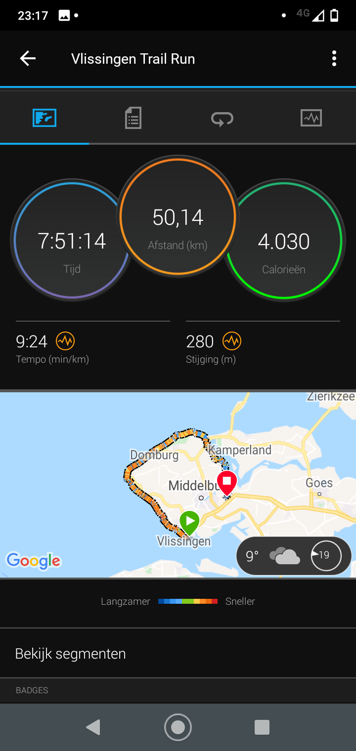
So in the end I had to fuel and walk slowly until I was back at a normal level. That wasn't easy, I felt a bit nauseous. Unfortunately, that is also a symptom of low blood sugar. I just had to push through and then I could slowly get back into the swing of things. The last 10 km I ran the shorter original route, as Komoot had nice plans, but this whole trip had already taken me long enough. I did finish the 50 km (or actually 52 km because I started the watch too late) by going to cafe De Krab. Some fries and directly on to the train again.
What about those Superiors?
They have seen a lot more beach than planned, but unfortunately also too much asphalt. They run fine on asphalt, but they also wear out quite quickly on it. For me, the 4.5 was definitely a relief from the black 4.0’s I usually wear (I have 2 pairs of 4.0 and now 2 pairs of 4.5). It's clear there's more cushioning in them than in the old ones which have now done at least 10 marathon+ distances.
The fit is also slightly different compared to the 4.0. In the 4.0 it sometimes happened that an unfortunate foot placement or a protruding tree root caused me to hit the edge of the rubber bumper with my nails. That doesn't happen very often and doesn't outweigh the advantages of the Superior: light weight and the wide toe box keeps me blister-free and black-nail-free on long distances. But it can get painful when your legs get tired and you walk on a lane with lots of protruding tree roots. The blue pair of 4.5 I have, I had expressly ordered a half size smaller than the 4.0 for that reason, but I found that to be just a bit too tight on extremely long distances. This new 4.5 in the same size as the 4.0 has the bumper at the right place and is roomy enough. So my favorite shoe has become even better.
Lessons
I don't know if I'm going to use the trail map of Walcheren again. At least, not before I have thoroughly explored the route with Komoot. Of course, I have regularly adjusted my route to run unpaved, but that also means you have to keep thinking about the route. Isn't it a lot longer than planned? Will the original route still have a nice path in it?
I really should have paid more attention to my diet. I did the first part quite well by paying attention to my body and the time. At a certain point, however, I got too distracted, while my head was already so full – exactly the reason why I wanted to trail. And the fact that my blood sugar sensor expired earlier than expected didn't help either. Next time I really want to run for mental peace, I think I'll take a known, quiet route. Preferably one where you can smash your adrenaline into a dune top and run yourself to death.
Nice report Rutger
Thank you, thank you, thank you, thank you. It didn't just happen this time.
I am the creator of the map and can tell you that basically all other routes are unpaved for a very large part.
Dear Hans, that's nice to hear. In that case, maybe I'll run one in the coming months. Is there a particular route that is really almost unpaved that you recommend for that?
Hi Rutger, Flat Trail and for example Devils Trail are 80% unpaved and very varied. The 60 of Walcheren follows the coast and is indeed a bit less interesting. Good luck! Hans
Nice report again Rutger! If you want to walk in Zeeland again, I can recommend a circuit Westhoek (Westenschouwen, Haamstede, Renesse). With altitude meters in the woods, single track dunes, pieces of beach and nice views
Look, that sounds like fun. As long as it is accessible by public transport, although a few kilometres of walking around is usually not such a problem.