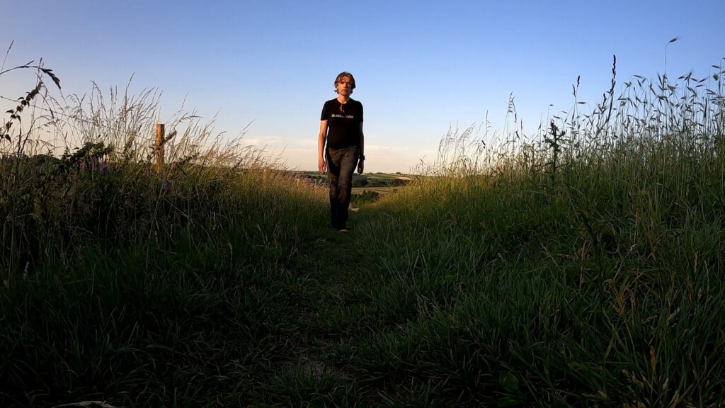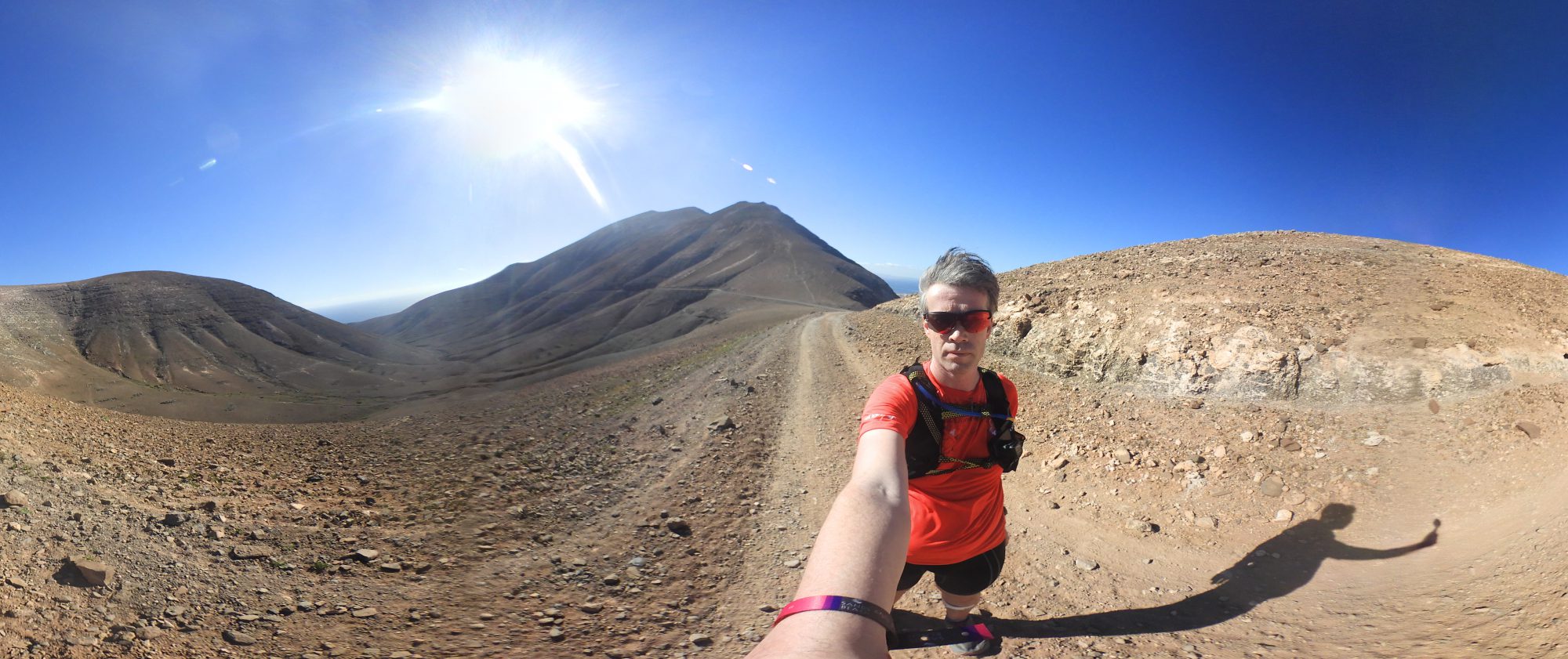
More and more is allowed in the Netherlands, but a holiday on Skye is still not feasible. As an alternative, I have decided to walk a long distance path of 100 km on my own. Part 1: the preparation.
Because of the length of the story, I've divided it into four pieces:
1) Krijtlandpad in three days – preparation
2) Krijtlandpad: Maastricht-Slenaken-Gulpen – first stage
3) Krijtlandpad: Slenaken-Vaals-Gulpen – second stage
4) Krijtlandpad: all roads lead to Gulpen – third stage
The signs for the holidays did not look well for a long time. First of all it was very unlikely that we could cross the border again at the end of June. And certainly for Scotland, in the badly hit United Kingdom, there were few bright spots on the horizon. A problem with the remote and vast area is that medical facilities are scarce, especially on the islands. That is why the Scottish government is very reluctant to relax the measures. The fact that Skye, like Mallorca, would not go ahead was already practically established. After the announcement of the quarantine measure we cancelled the holiday ourselves, because the government took too long to forbid it. I left the days of on my schedule though.
However, as the weeks passed, more and more was possible. Spain would open from July and there were already some races or trail weekends with groups being organized. The Indian Summer Ultra in October – over 50 miles: training it is– seems to be still on the table. But was there already something possible during my holidays?
To be honest, I wasn't ready to do anything with a large group at the end of June or in July. I did see that Mud Sweat Trails and other trail organisations offer trips to relatively nearby countries like Austria, France and Spain. However, because of the restrictions on car transport (a maximum of two people per car), that seemed to be out of the question without a driver's license. So I decided to look closer at the only hilly part of the Netherlands: Zuid-Limburg.
New guide
One of the most famous trails in Zuid-Limburg is the annual King of Spain trail, in which I myself have participated twice. It would be obvious to plan a long variant of that. So far I've only ran up to 20-30 km in the area. But that idea did not really feel right.
First of all there is a big chance that I would do that trail again with the official race. Secondly, it sometimes happens that traversing private land is only allowed for the duration of the race. The third and most important reason however was the overnight address and Gulpen itself. It's not really buzzing there, I have to say, and the two hotels I tried there were very outdated, lost glory. The experience went from a dramatic small bed with a matress sagging down into the basement (Fletcher Hotel Gulpen) to something more resembling a shed.
Around the same time I saw all kinds of small-scale initiatives pass by. The Petranpad. A virtual Pieterspad. All great walking routes that you can also run. The area with the most interesting hills in The Netherlands has such a route as well: the Krijtlandpad.
After some research – also hikers apparently form a close community – I found more info about this path. So there are complete gpx files online and they track where the route is closed of, for example because there are changes in the road network or if work is taking place on the path. That is a must, as the last guide dates back to 2003. Thousands of houses have already been built in my own hometown since... The publisher does understand that a new guide is needed. Unfortunately that guide would only be published on the 1st of July. Too late for my holidays in which Franny was going to paint.
Fun in anticipation

The Krijtlandpad is an official regional path (Streekpad, number 7). This means that the route has been chosen to as much as possible follow unpaved paths along as varied a landscape as can be found. Because the paths are meant for hiking, the stages are relatively short and you'll regularly come across a village or bar along the way if you want to take a break. There are also many public transport stops along the route. After all, not everyone wants to walk with full packs.
Of course I buy the guide for the necessary background information. And I determine my fixed base of operations. I had already written off Gulpen, but in Valkenburg there seem to be a lot of affordable accommodations. Another requirement for me was that I wanted to be able to make my own food. With the corona measures I wanted to have something to fall back on if restaurants turned out to be difficult to reserve. I also like to be able to dictate my own food during running expeditions. Then I know for sure that my stomach tolerates everything and that there are no strange effects with the blood sugars. Eventually I notice a small apartment with its own kitchen and a heated swimming pool: Marx-Motel.
In my mind I saw myself running through Valkenburg. On the photos it really looks idyllic, with the beautiful sandstone buildings and the large castle. Thanks to the train station it is quite easily accessible. And it is located on one of the stages.
Planning
The stages of the Krijtlandpad are divided as follows: Maastricht-Mariadorp (14.1 km), Mariadorp-Slenaken (15.9 km), Slenaken-Vaals (21.9 km), Vaals-Gulpen (16.6 km), Gulpen-Maastricht (22.8 km) and as a shortcut there is the additional Slenaken-Gulpen (7.7 km). In total around 100 km, and I read somewhere that especially that shortcut was very nice and that you should not skip it. So I had to puzzle to make it all fit my schedule.
The layout in terms of stages actually seemed fine to me. But how do you plan a tour like this from a fixed base? The requirements were mainly: start and finish point should be easily accessible, food should be easily available at the finish and the distances shouldn't be extremely long.
Eventually I decided to tie all the stages together and start planning in Komoot. Through a website I could easily join them into a single file, except for the shortcut of course. Then I imported into Komoot and removed the unused points, until I arrived at a bus stop or station. That way I created three day routes: Maastricht-Slenaken-Gulpen – or stage 1 & 2 and the shortcut; Slenaken-Vaals-Gulpen, stages 3 and 4; Gulpen-Maastricht, the last stage.
Of course I could have arranged them in any order, but I thought it was a good idea to run them in the original sequence. Moreover, in terms of distances, it was also quite similar to my idea to start with a normal route, then the heaviest route and finally a slightly easier route because the body will be tired near the end.
All of them had become respectable distances: 37, 40 and 24 km. That also required some investment. Especially in sports nutrition: the Ucan had to be ordered on time, I got nougat from Decathlon and I went to MST for some sports gels. To come back with a new running hat. As the Superior 4s were almost in need of replacement as well, I had to order a new pair. And I needed some shirts with cooling qualities: a couple of weeks after booking a heat wave was predicted.
Ready to start
Wednesday the 24th of June was the day. For the first time in ages I had to make a long train journey to get to Valkenburg. Officially Rutte, our prime minister, doesn't allow that yet, but how am I supposed to get to my holiday address? And when I look here in public transport, I see hardly any people with essential professions. I do see a lot of shoppers and rioters. The public transport is very empty. With a knot in my stomach I just decided to put on a mouth cap and choose for essential mental rest. The whole journey I was afraid of being thrown off the train as a tourist with a suitcase.
The idea was to leave after rush hour, have a look in Maastricht and then arrive in Valkenburg around check-in time. In the centre of Maastricht it was already very busy. On the streets they had painted walking directions everywhere ... which nobody followed. Fortunately, as the shadow was only available on one side of the street. But the crowdedness didn't feel right and actually I wanted to go to my apartment much sooner. However, that wasn't possible yet and dragging the suitcase (temporarily in a locker at the station) through Valkenburg didn't sound very attractive either. So I decided to take a look at the Mediamarkt; in a big shop just outside the center the crowds are probably not that bad, right?
It turns out running isn't cheap. I came back with a new GoPro Hero 8 Black. I had been thinking about it for a while, because I actually wanted a screen on the camera to make it easier to take photos for the blog. But the price, a few times as much as a cheap compact camera, always scared me. And yes, if you feel a bit down during the holidays, you might suddenly end up with an expensive toy. Too bad I couldn't pay in flight vouchers.
Land of castles
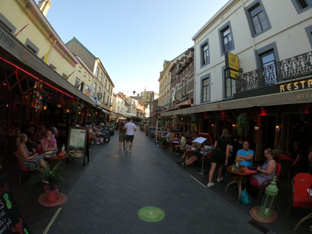
The apartment also proved to be very satisfactory in practice. The pool was much larger than expected, so if I could not walk for a day, I had alternatives. A bit dated, like all hotels in this area, but with a new box spring bed you don't hear me complain. Also the reception was most friendly and I was already told that there were a lot of nice walks in the area. I was really happy with the kitchen, as the terraces in Valkenburg were packed. Unbelievable, it looked like the time before the crisis. The difference being that there were now green walking routes that everyone ignored.
To test the GoPro, I decided to go for a walk first. Also good in order to make the kilometres for the GVRAT. Via Visit Zuid-Limburg I found a nice route along the castles around Valkenburg. And believe me, Limburg really is a land of many small castles.
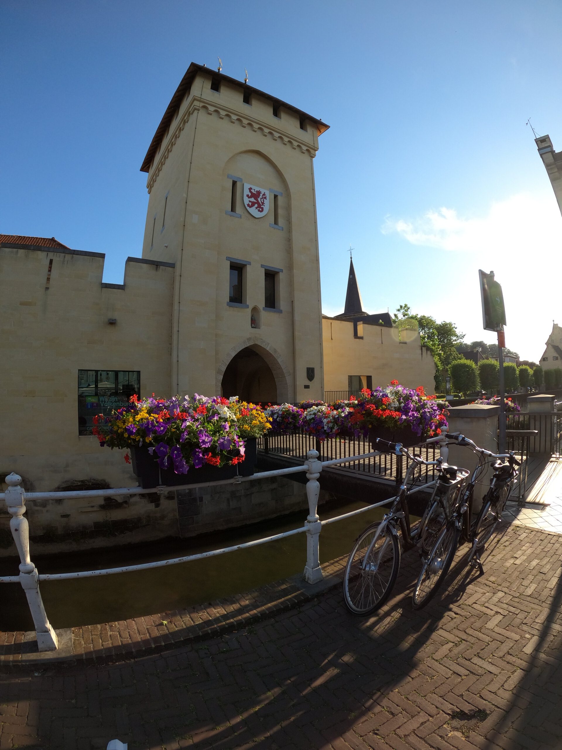
The hiking trail started almost right in front of my door in the historic city centre. It soon became clear to me that Valkenburg is not well known as the walking city of 2019, but mainly as a cycling hotspot. The hills – including the Cauberg – attract many cyclists and everywhere you see them waddling in cycling clothes on cycling shoes that are really only meant to click on the pedals. There is no running or trail shop, but there is a Shimano experience centre, a number of race bike related shops and bars. Too bad, because the hills are great for trailrunners as well.
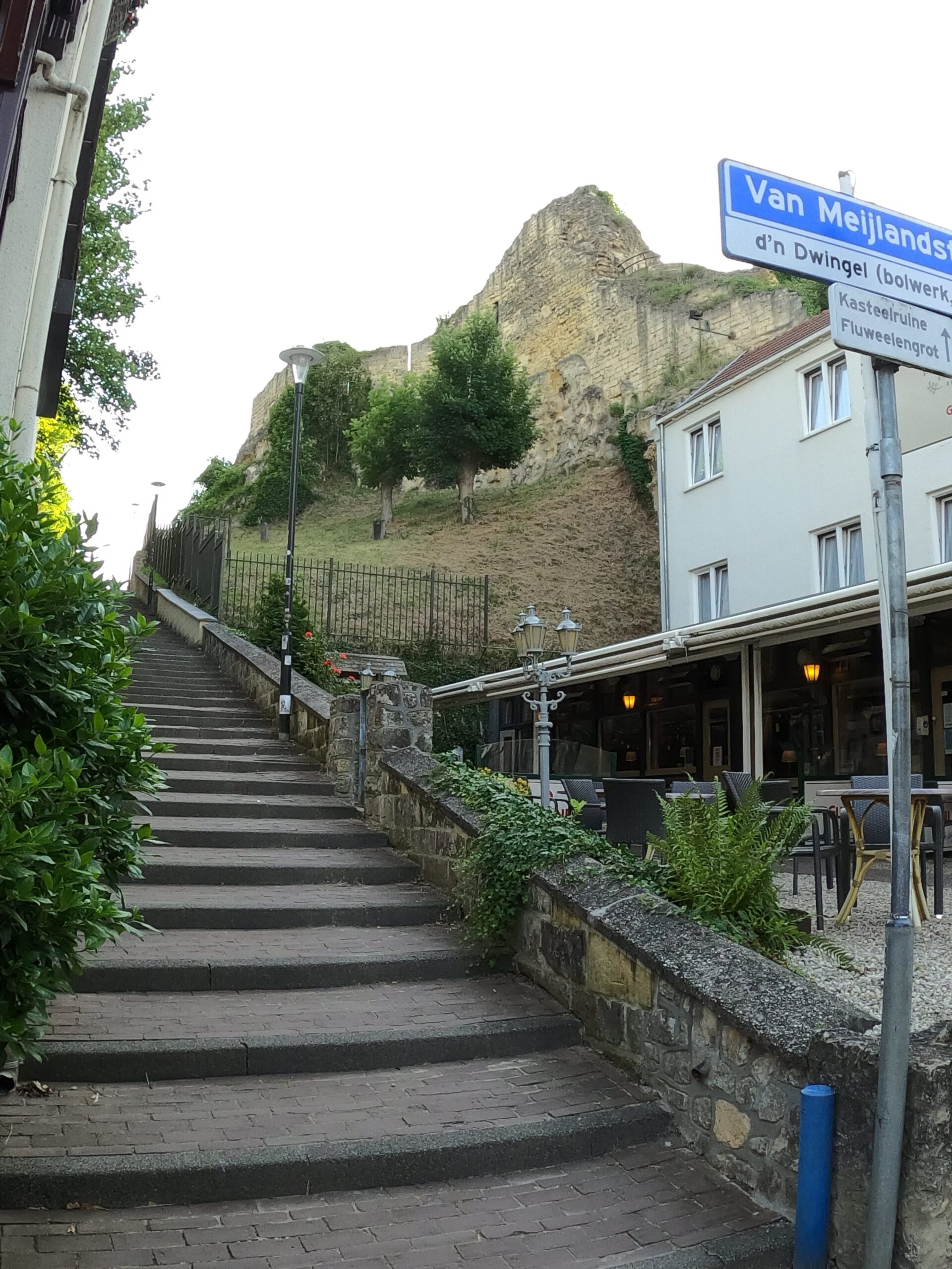
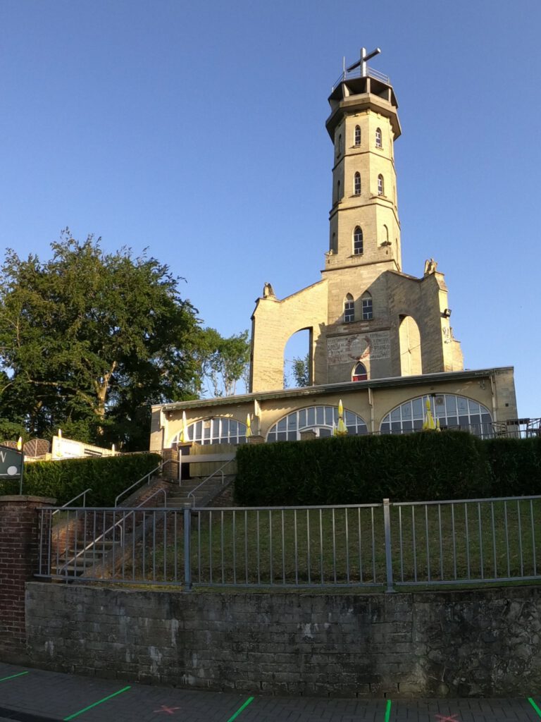
Those hills start soon. Immediately after the Geulpoort and busy street with restaurants, the stairs go steeply up. Just past the high castle Kasteel Valkenburg and right next to the cable car to the Wilhelminatoren. Normally I would refer to the latter as a large rocket, but because of the crisis it reminds me more of the T4 bacteriophage (virus for bacteria) which I have at home as a cuddly toy . In reality, the tower was erected in 1906 to attract even more tourists to the region. It offers a beautiful view over the valley. At least, that's what I'm assuming, because climbing 30 m to the top is out of the question at this time of day.
Old trees
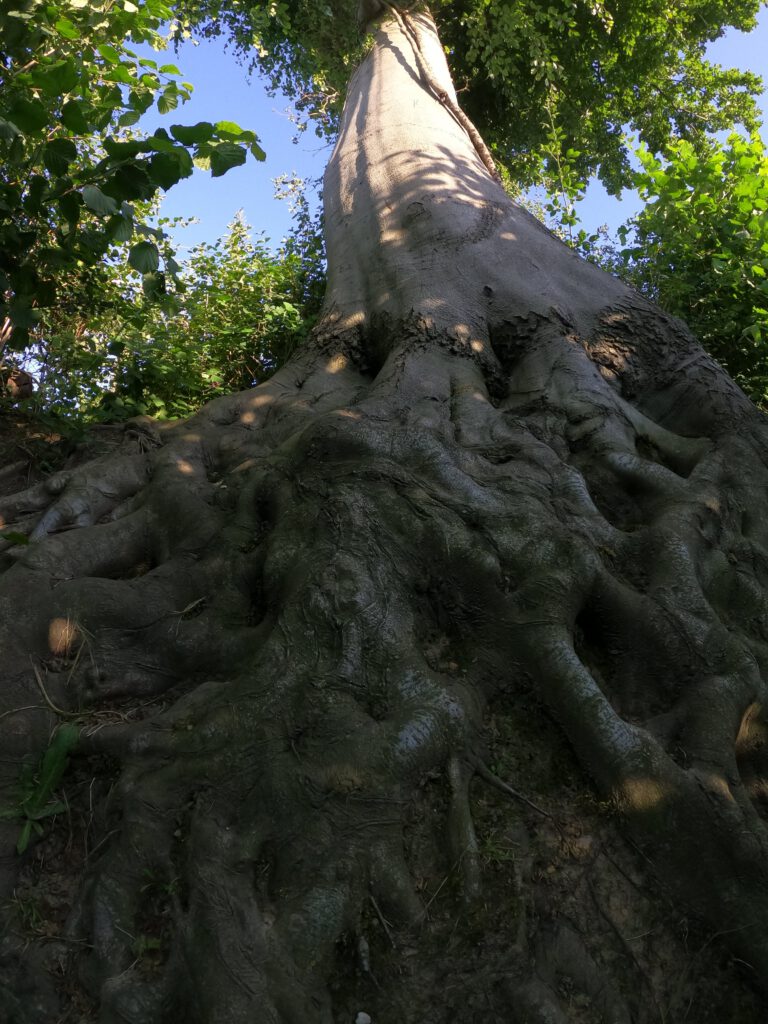
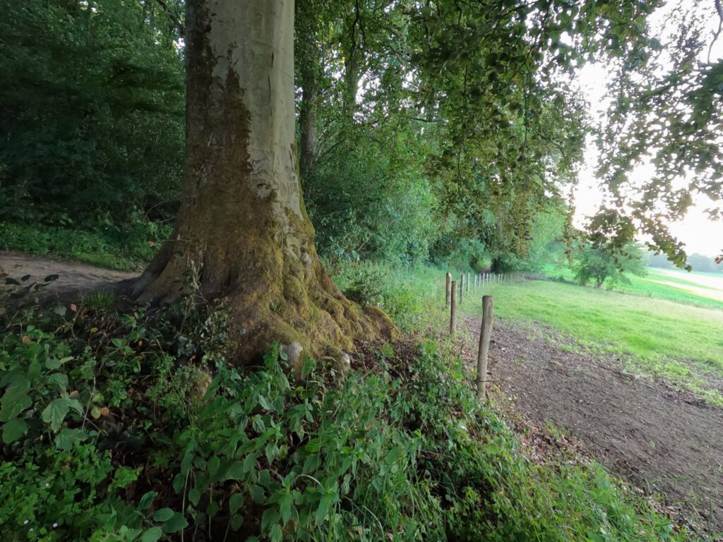
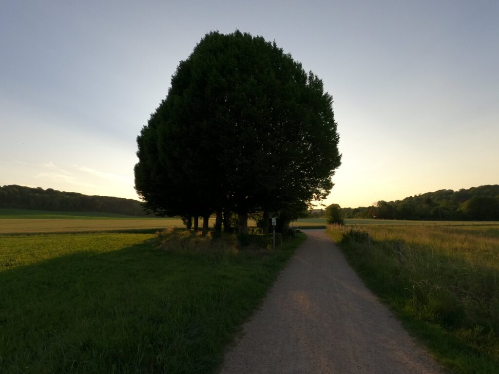
The rest of the route goes into the forest, among beautiful trees. Large, tall, completely overgrown by ivy and other plants. So different from the production forests (especially pine) or park-like forests (oak, pine in a fixed grid) I know from the north of the country. Very calming too, the old green. And the beautiful thing: except for a few hikers, there is no one on these paths.
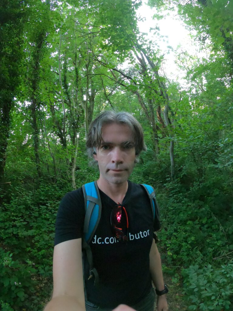
Meanwhile I am taking hundreds of pictures to test the GoPro. The screen is certainly handy. With a GoPro you have a completely different view of the world. The lens is so wide (yes, you can choose a different setting) that your composition has to be completely different. A photo without something in the foreground is almost unthinkable. Also the light sensitivity in the forest around 20-21 hour is quite good.
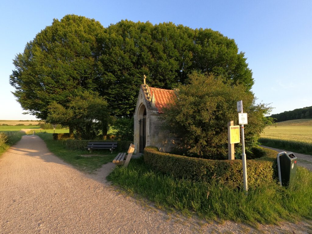
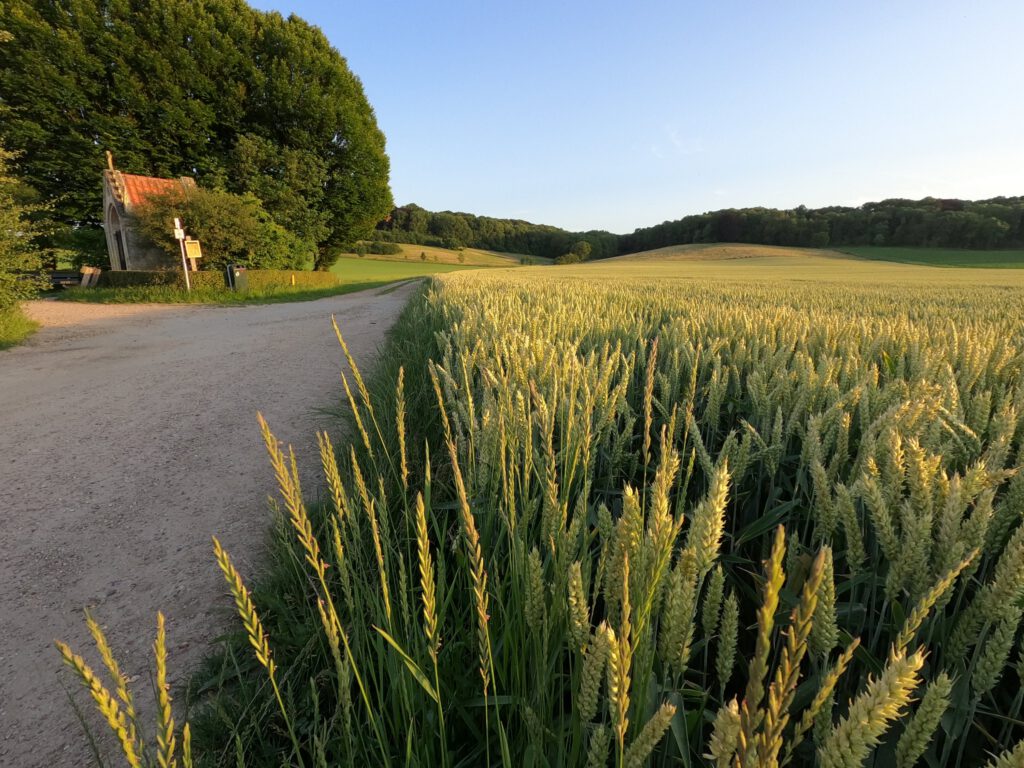
As I walked out of the woods, the environment changed completely. Now there were large meadows, with grain and in the distance a village to be seen. An old church stood out against the rolling hills. And a sugar-sweet little castle showed itself from afar: Kasteel Schaloen. But before I reached the castle, I first passed – how could it be otherwise in catholic Limburg – a chapel. Schaloen owes its current appearance to Pierre Cuypers, the same architect who also designed the iconic station of Amsterdam. It was for sale in 2013 as the most expensive house in the Netherlands according to Wikipedia. Fortunately, it is not in use as a private house now, but has been a hotel for decades. So getting close to it is no problem.
Via the castle park I walk along De Geul back in the direction of the city centre. My late walk has a disadvantage: I can't take a closer look at Castle Oost, because the deer camp I have to pass through is already closed. But I don't mind a quick retreat at all. Going to bed early for the first real hike sounds like a good idea.
