In 4 days I walked two trails from station to station: Leiden-Den Haag and Kennemerland. Let's just say that I still have to work a little bit on responding to diversions.
Another 2.5 weeks until the Winter Trekking… Really the moment to look forward to a fear of meeting each other. 105 km in two days is not nothing. And have I trained enough?
The fear that I wouldn't have the right supplies, or that I would have to drag the sleeping mat and sleeping bag with me, has at least disappeared. Tom showed me which sleeping bag they recommend. It may be better than mine, but mine has to meet the specifications as well, especially with a liner in it. And I don't have 350 euros for MST. Now it has also been definitively established that the sleeping bag and mat are allowed in the drop-bag, so it doesn't matter that it's not lightweight.
In terms of training, I ran a marathon less than a month ago and before that also much longer stretches (plus Airborne in September). Besides that I will continue to actively Me-Moveren. So this week I've decided that I'm going to make it a bit easier to prevent overtraining. This week two more trails and Saturday the Meijendelloop (nature run). And after that I will finish the Wintertrekking.
NS MST Leiden-Den Haag
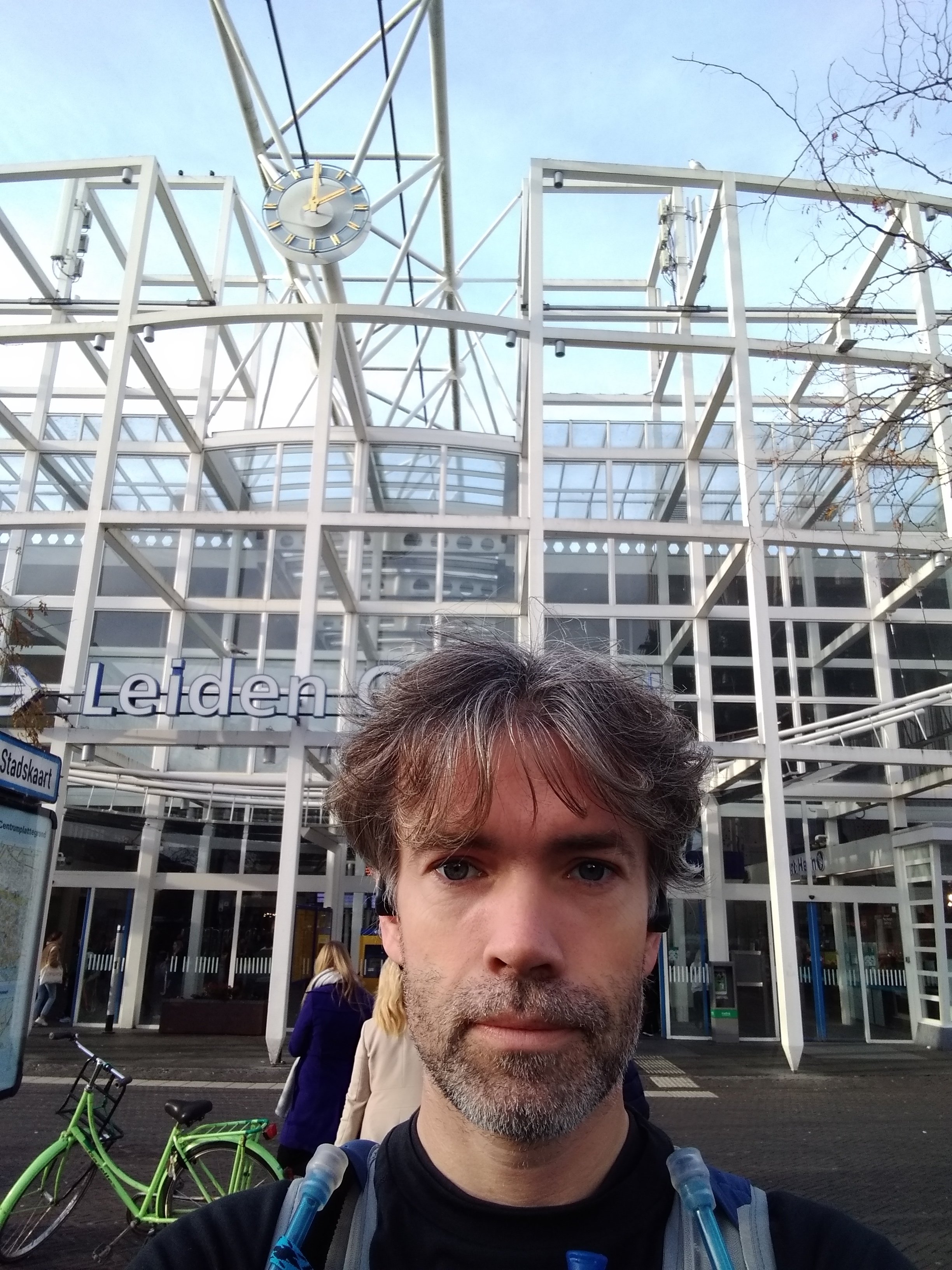
Due to all kinds of delays it took a while before I finally arrived at Leiden Central Station. In the weekend there is often maintenance on the track and this was again so’n day. Anyway, I quickly stressed the watch pre-programmed at the station and headed for the start. Only I had started it right away. Never knew that the platform is so long.
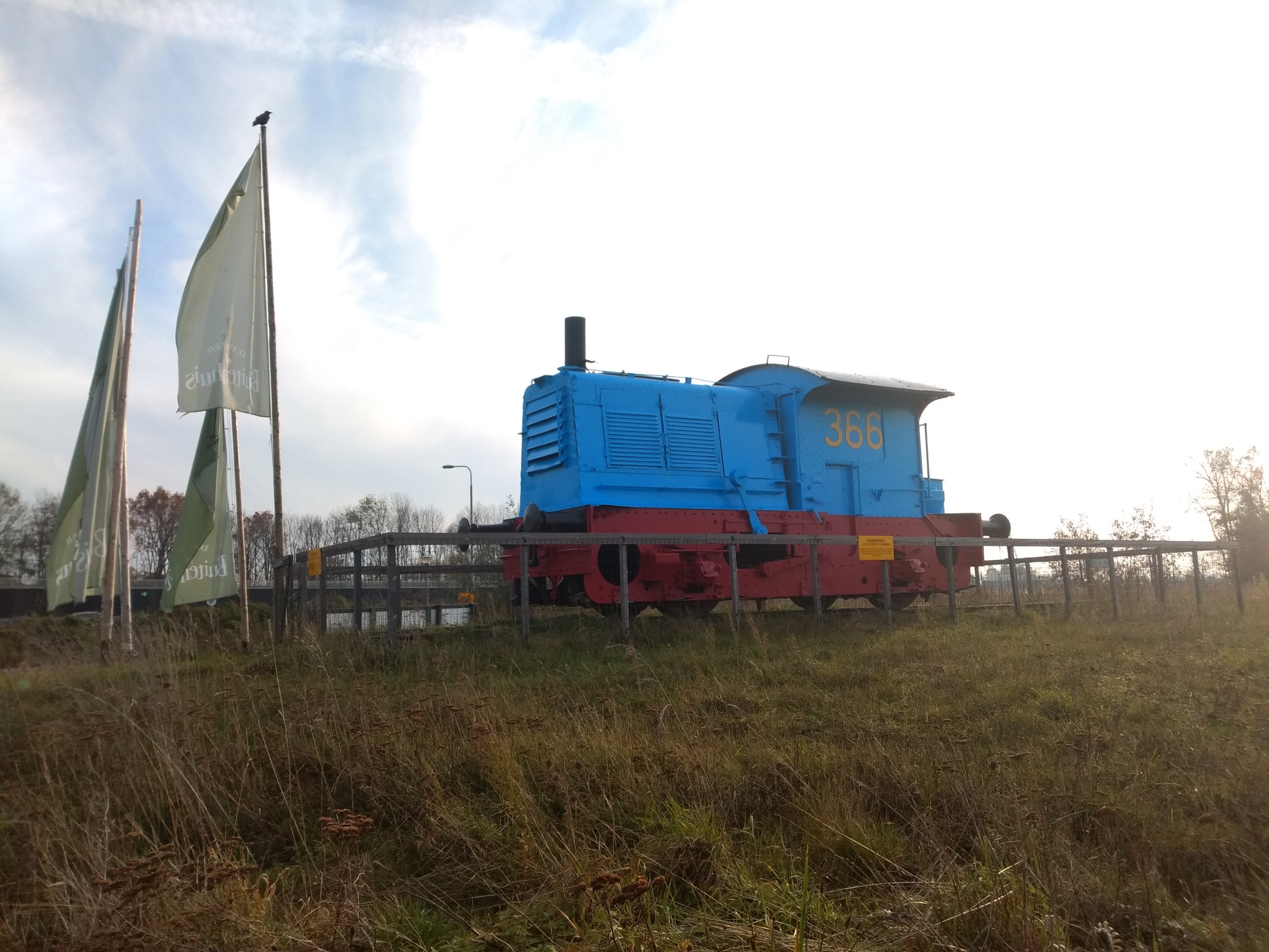
Although I'm in Leiden almost daily for work, I admit that I don't know the city very well and that I chose this route mainly because of its proximity. I already knew beforehand, that there is a lot of asphalt in this urban area. A relatively high percentage of the route is paved. However, I was pleasantly surprised by the pieces of green that line the paved path. For the real unpaved part, you have to wait at least 4 km, until you reach the terrain of the steam train between Katwijk and Leiden.
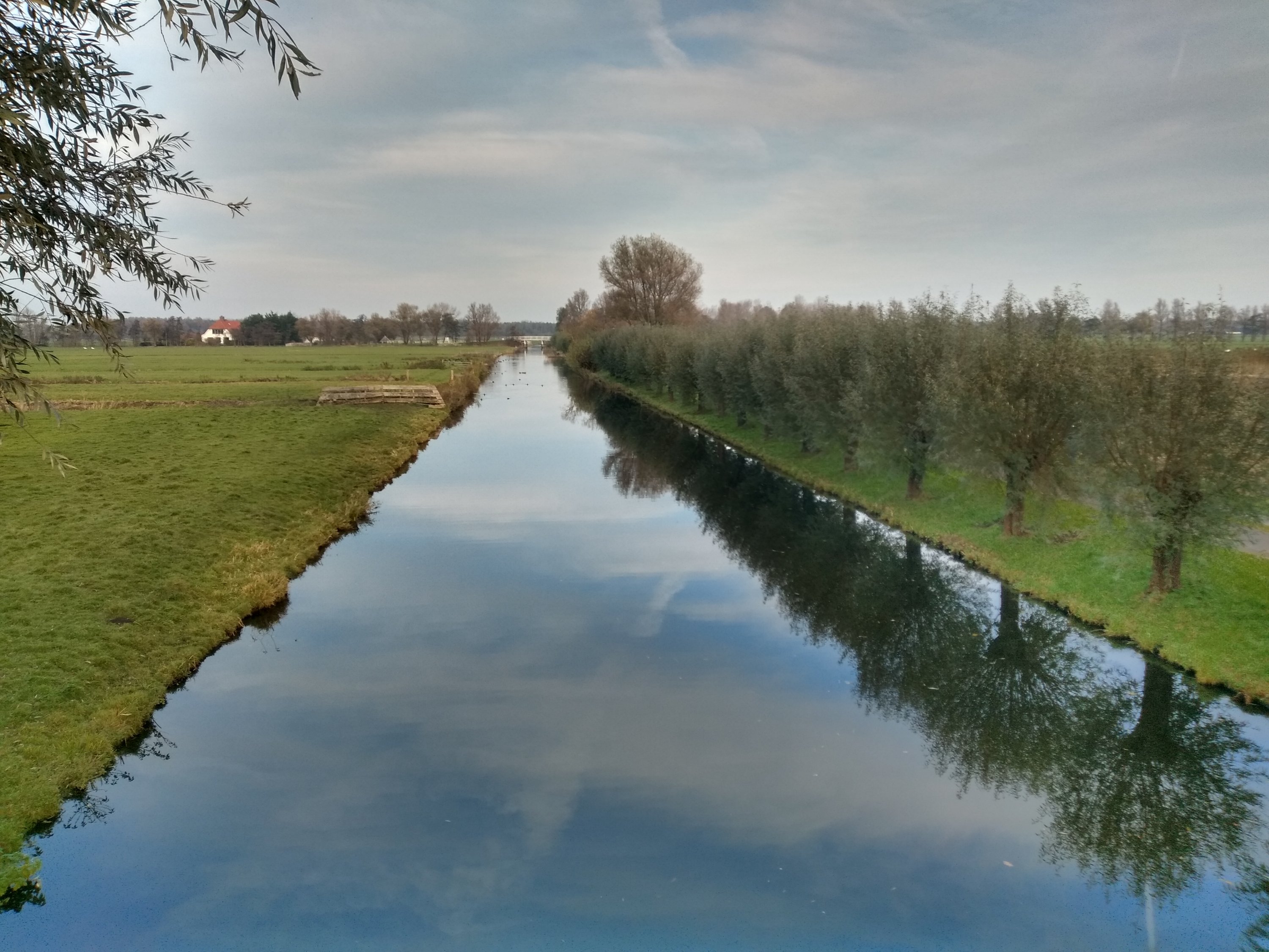
Then you come mainly in a wide meadow landscape, which reminded me a bit of the north in the distance. Only the plots are smaller and there is much more water. It really is a polder landscape. And the roads are not always paved, but not very trail-like either. Still, I think it is quite a beautiful and surprising piece of nature, so in the suburbs.
Where I normally hardly meet anyone on the NS trails, it suddenly seems like a coming and going of hockey girls. Apparently I'm pretty close to Wassenaar. The surroundings are also slowly changing shape again. There are more trees and the land starts to undulate. I'm not quite sure whether to keep to the road or the horse path. The ladies from Wassenaar have been ahead of me on that last path, so there are deep tracks in the sand. So I decide to take something more hardened. It's no different, staying whole is more important to me.
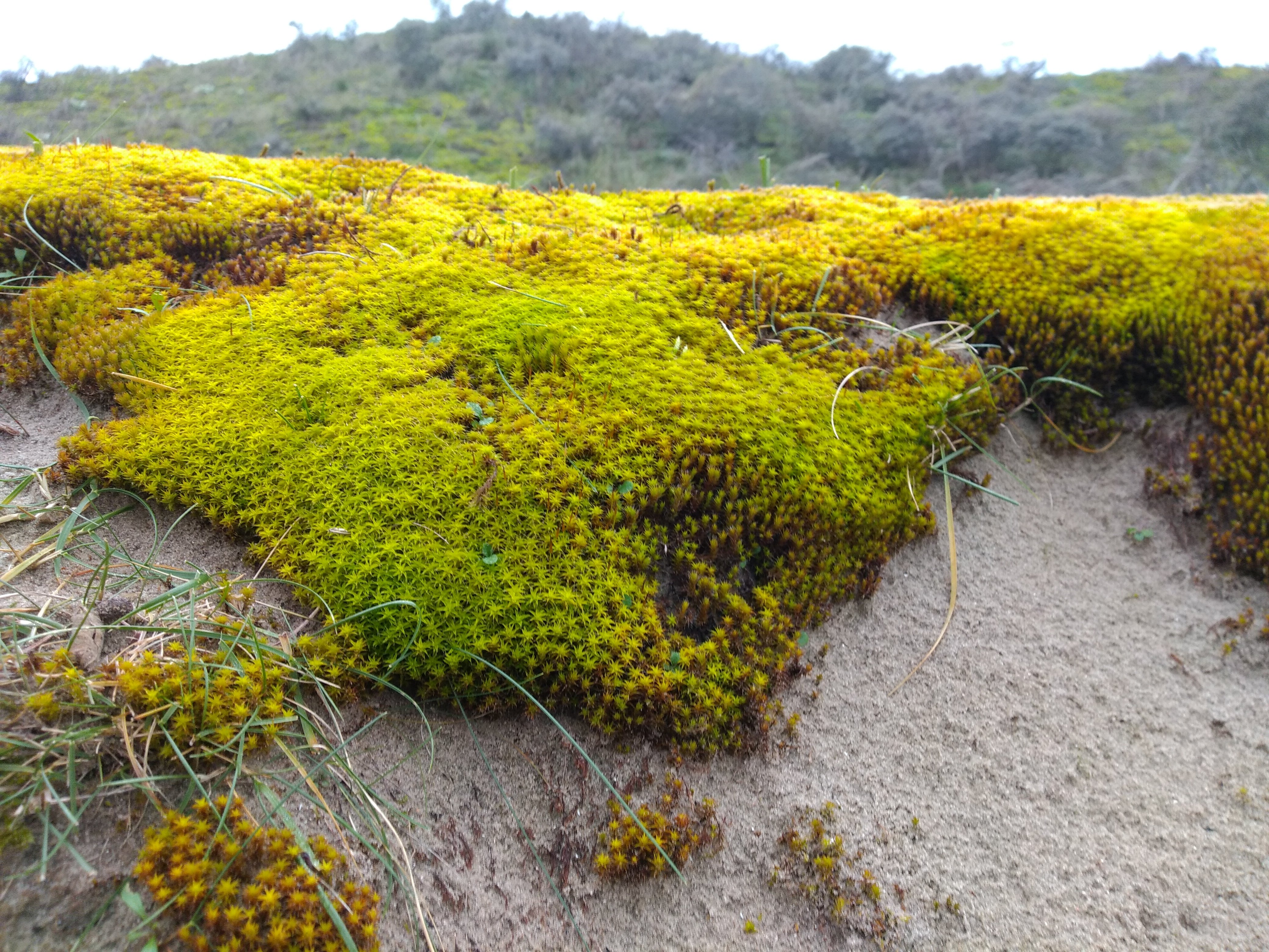
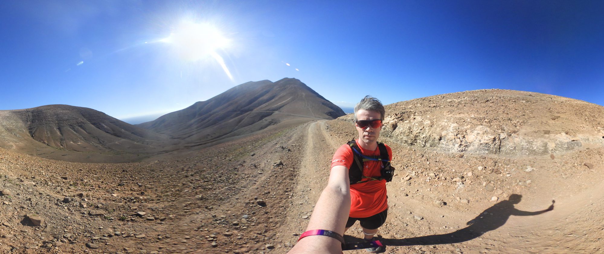
It's actually only starting to become a real trail at the dunes of Wassenaar. An area I also know quite well from previous trail runs and races. And they lay there beautifully. Especially the almost fluorescent green moss was a feast for the eyes.
While I was standing still to take a picture, I slowly started to get annoyed by the Garmin. Yes, it has good routes and those maps also work in the dunes. But why does he keep scrolling to a different screen when I'm holding on? He didn't do that while navigating the road before. I only found the answer at home: apparently, not only should scroll automatically, but also climb automatically with every activity in the settings turned off. Only then does the Garmin stick to the user's chosen screen.
Once I crossed the dunes, I saw… Yeah, not much actually. There was a thick fog, so there wasn't much to see. Without a watch I would never have found the entrance at Meijendel. Unfortunately the route in Meijendel, especially around the farm, was not quite clear. Even with the maps, there seemed to be an anomaly in terms of gpx, gps and actual route. That's why I miss a bit here and there. Luckily walking in Meijendel is not a punishment either, I like to get there.
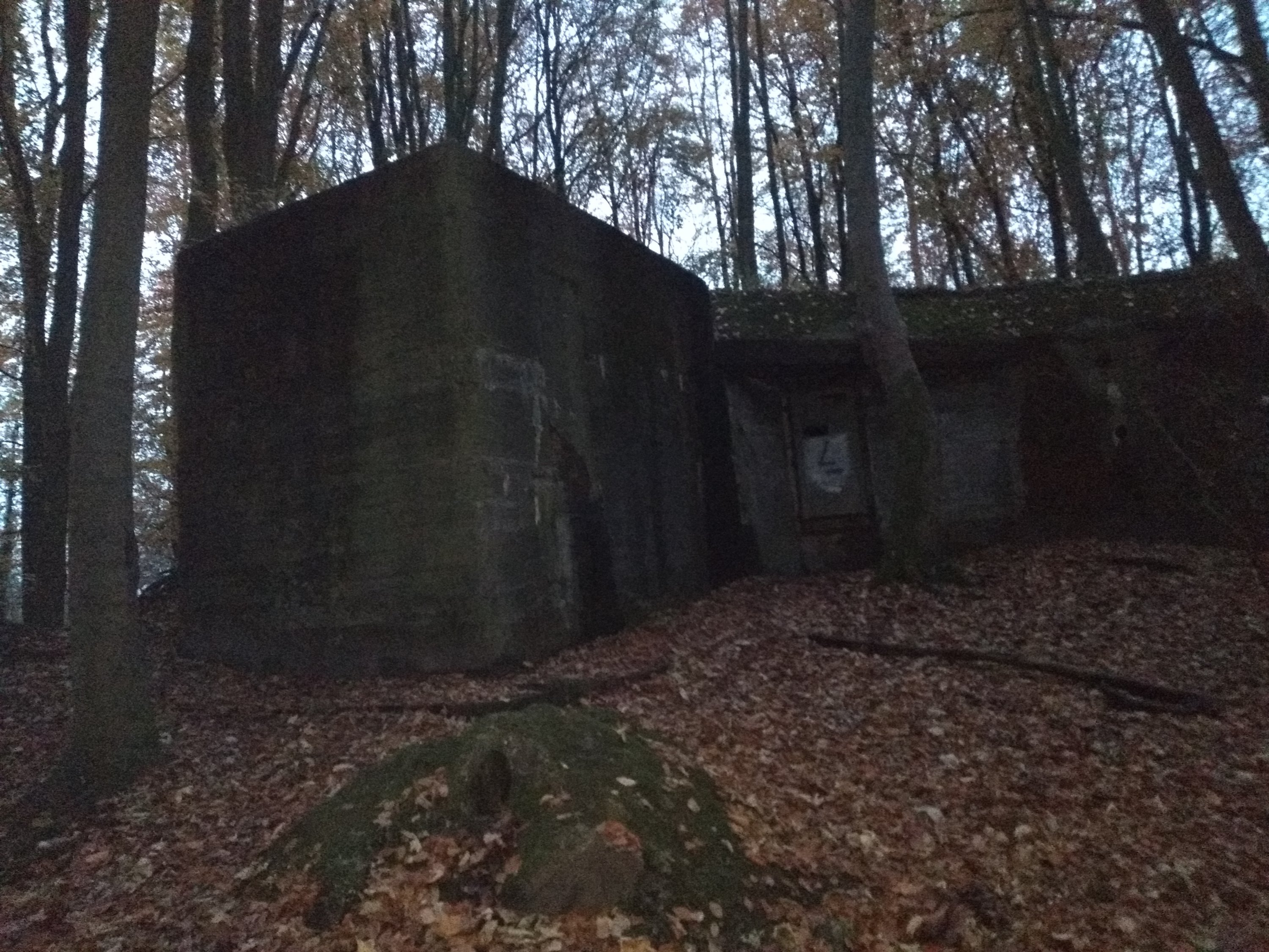
Really wrong with the navigation it went only in the Haagse Bos. It was later than planned and in the forest it will be dark soon. Because the leaves were really everywhere, and the deviation in gps because of the trees large, the right path turned out to be untraceable. Then we had to randomly cross between the trees and past the bunker. That went pretty easy and I finally found the path again, just before I couldn't go any further because a bridge was under maintenance…
Nice so’n map on your watch, maybe you can use it to find a detour. No such luck, because there is no crossing near the closed bridge. And I saw almost nothing. And the watch's backlight had its own will.
I'll take the phone. Route found along all the dark paths. I went after the clues. GPS lost. And so it went on for a while, which made that last part very long. I did it partly walking because it was already completely dark then. Plus you shouldn't be late in the woods. And I was also photographed by a wild fall as I suddenly got a hard flash in my face.
It won't surprise anyone that once arrived at the station, the blood sugars were far too low… Typical confused man behavior, I'm afraid. And so I forgot the picture with the clock as well.
For those who still want the route: you can download here. Think about that little bridge in the Haagse Bos.
NS MST Kennemerland
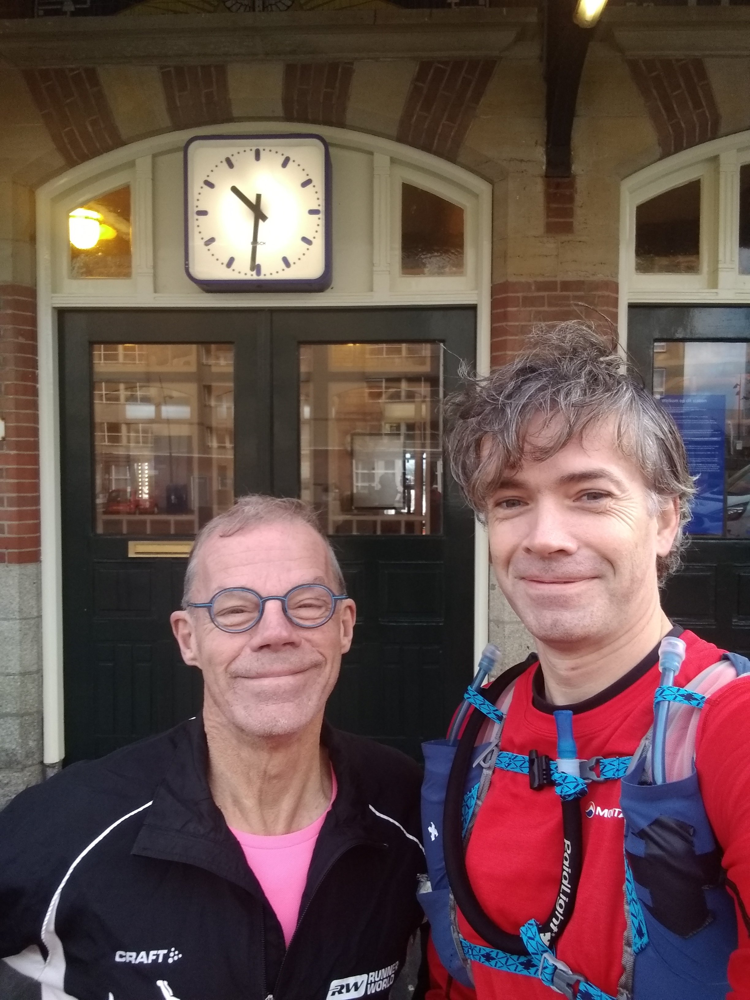
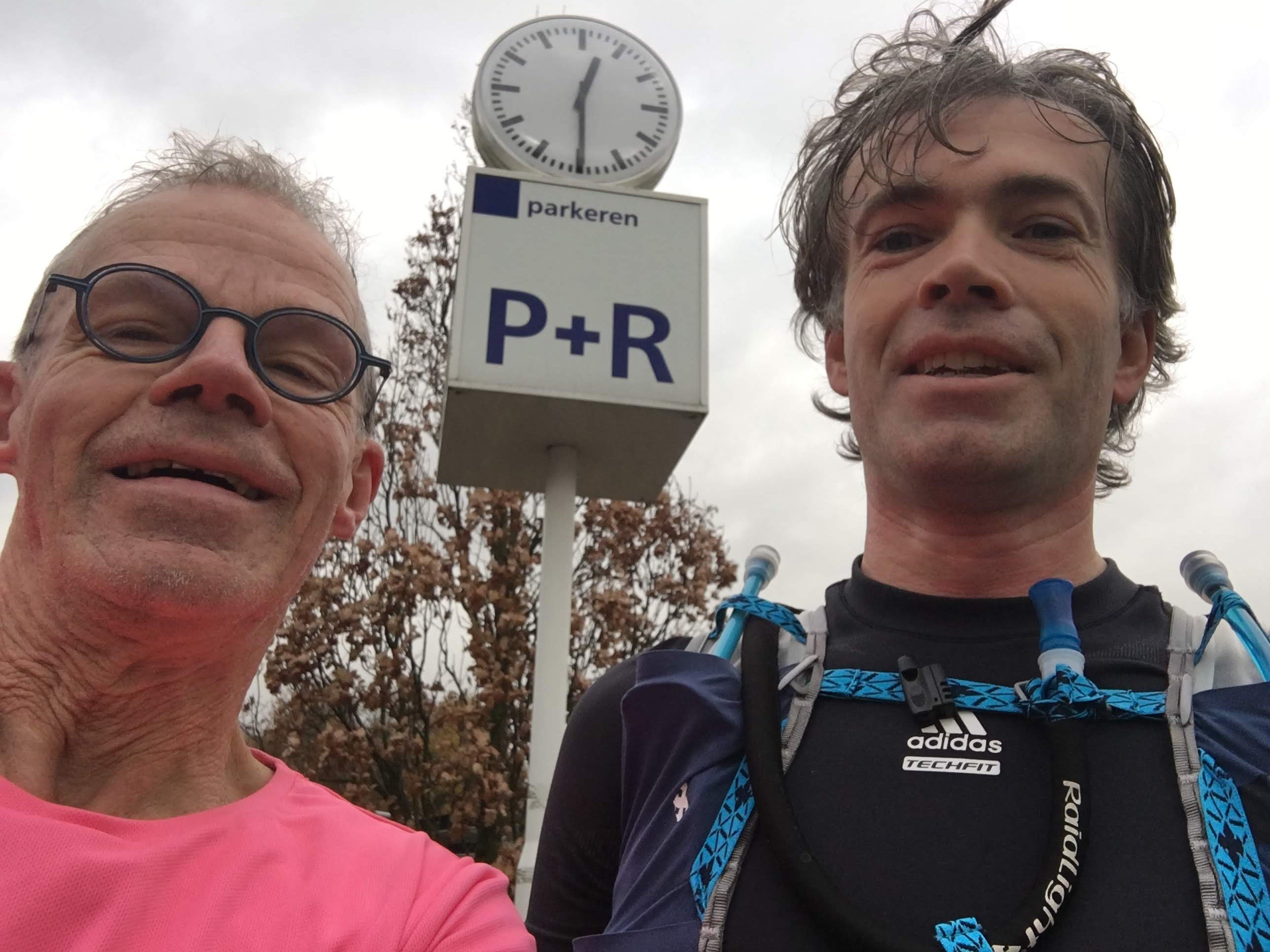
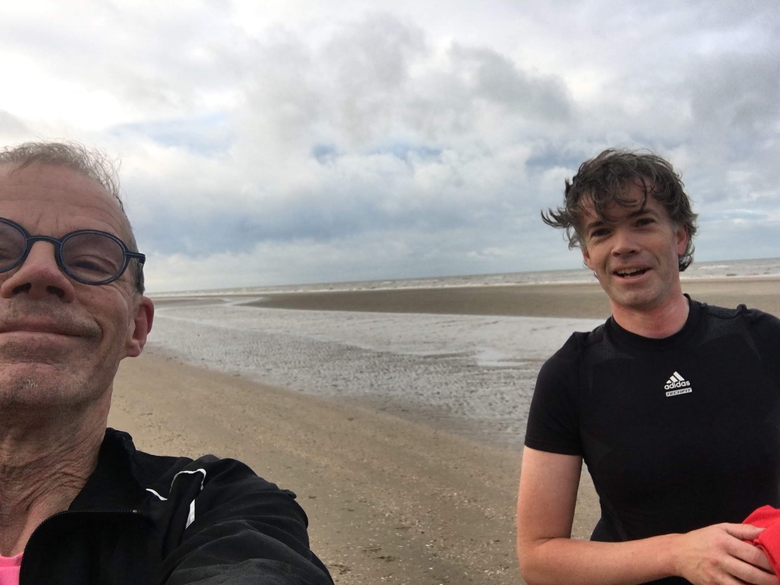
Luckily the second NS-trail went a lot better. Except for a small part, where the road was flooded, but the watch did offer a solution. I had run this trail myself once before, but this time I would have run it together with Koplopers-trainer. Hans Verbeek do. Hans almost always walks barefoot (or socks/huaraches with snow or shells) and the first ‘ did you forget your shoes’ we already entered Zandvoort station.
Hans hadn't walked 20+ers for a long time and that's why we chose this relatively short route. Of course Hans is a bit faster than me and he usually runs shorter and faster races as well. At the end of the trail the distance wasn't that bad for him because of our pleasant chatting pace. We walked almost 2 hours.
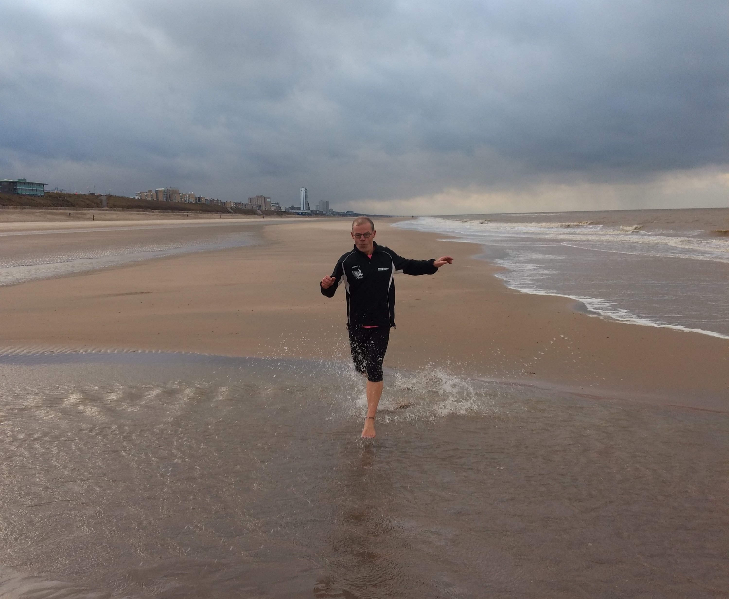
The first 5 km of this trail goes over the beach. And before that it was – contrary to what the nightly rain suggested – beautiful weather. Also the tide was with us: we had a wide and well walkable stretch at our disposal. We chose to walk as close to the water as possible, although that sometimes meant a wet foot.
Normally both Hans – who also does cold training – and I tend to jump into every puddle we encounter. This time we restrained ourselves. Without a towel and with the already rather cold water, it seemed – especially me – better not to take any risk. Still I got so hot from walking that I could take off the overshirt. On the beach we could also breathe with 5.45 minutes per kilometer.
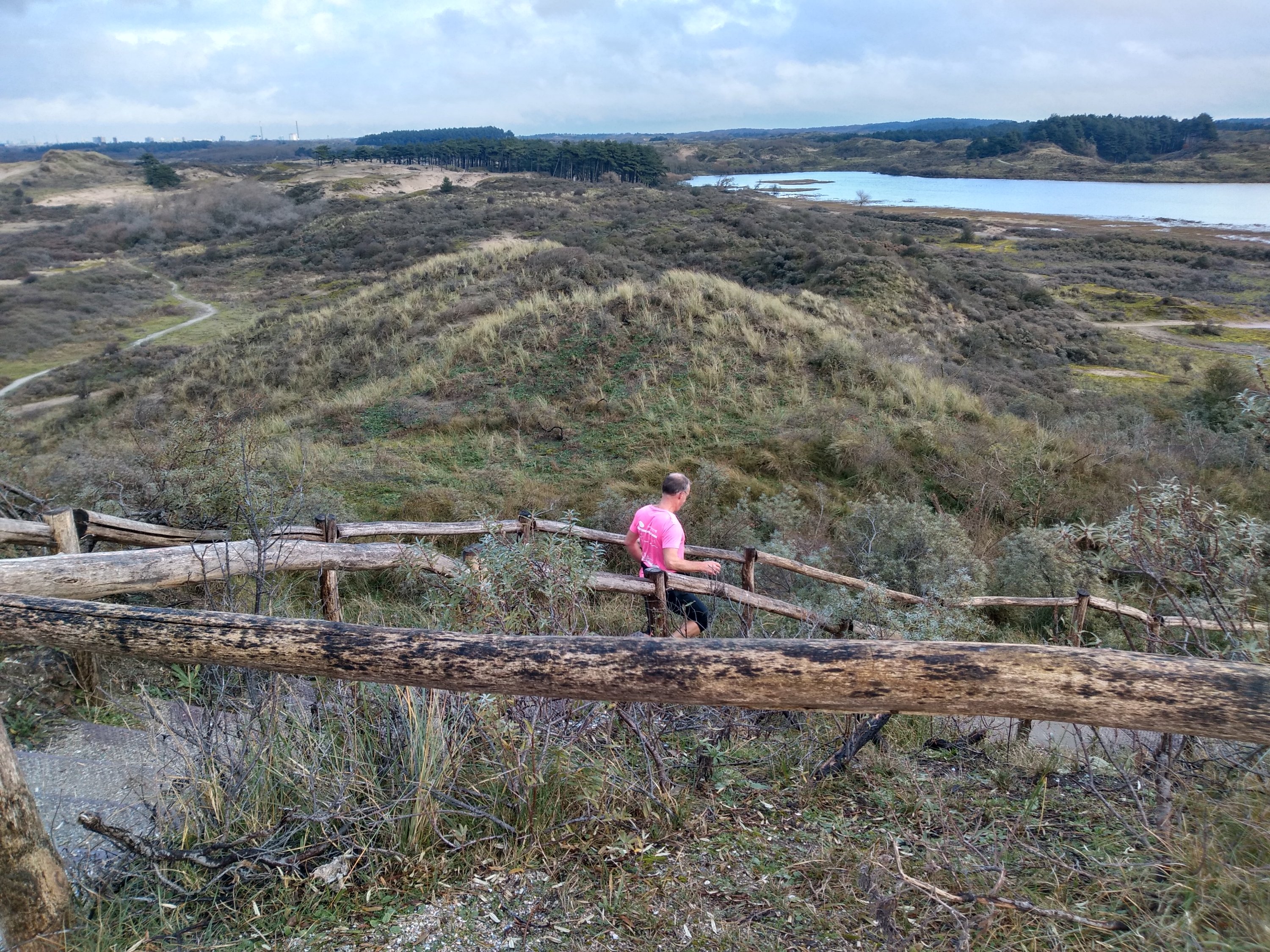
Again the real trailing started in the dunes. Lovely hill up, hill down. But also quite heavy actually, talking and quite warmed up.
Soon the chimneys of Tata in IJmuiden were out of sight. Along the way we could marvel at the mosses, dunes, fens, beautiful trees and a single deer. This time I unfortunately did not see the black pony’s.
The paths were easy to do with the gpx; even the small side roads are almost always signposted. The difference with the Leiden-Den Haag route also lies in the fact that in this case mainly paths in the park are used (blue route), so in case of doubt you can simply follow the poles.
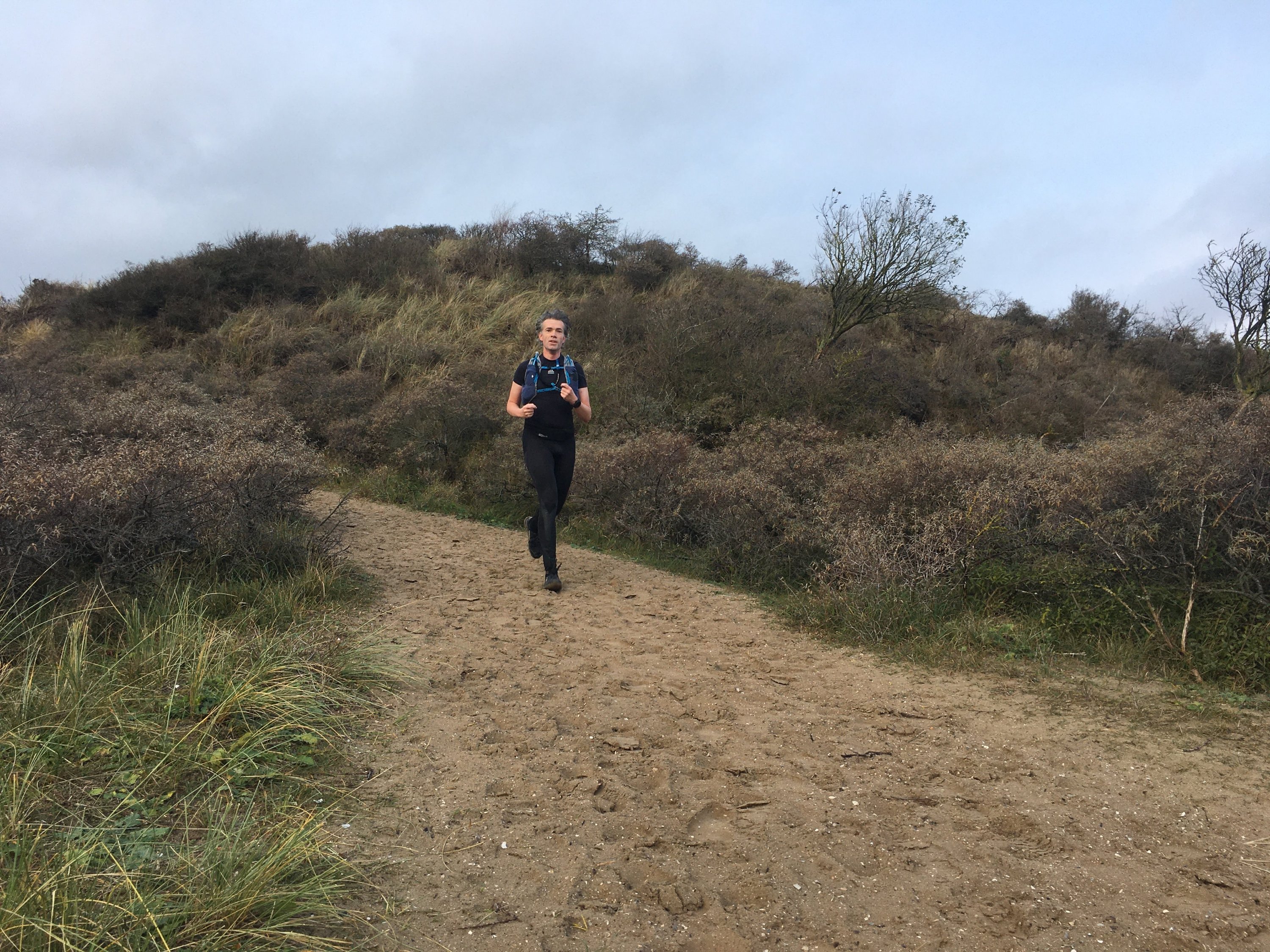
As far as terrain was concerned, the route towards Santpoort-Noord station might have become more and more difficult. But actually the first 10-12 km felt more like catching up. The further we got, the nicer I walked. Even the steep, leaf-covered hills at the end I dared to go down fairly well – for Hans' huaraches a bit more difficult – although it turned out later that I should have looked down less and more on the watch. A quickly passed sidewalk at the top turned out to be the right route. And it had steps to descend …
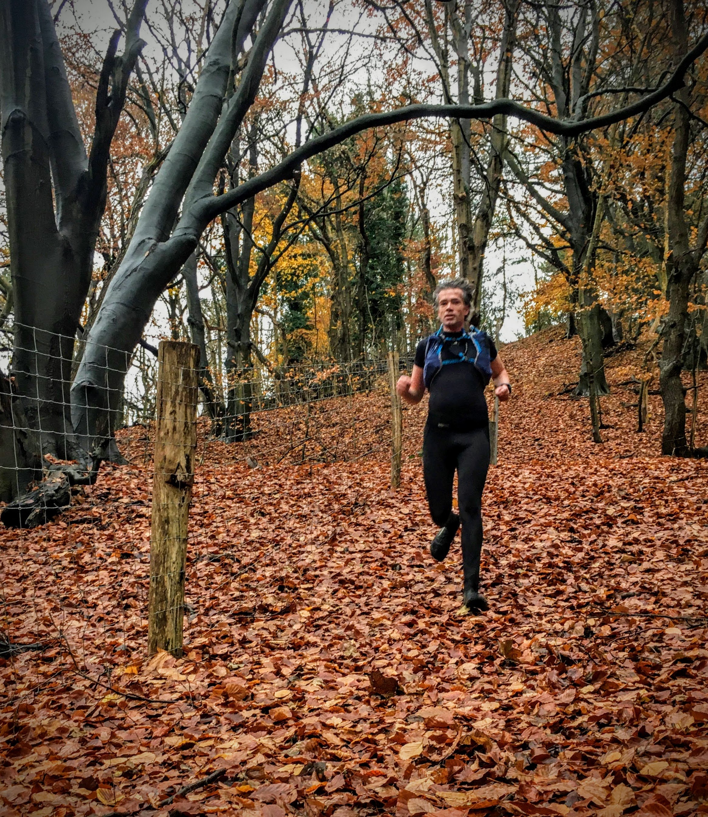
All in all this was again a very successful NS-trail. Not in the least because of the company. Earlier we walked the Brabantse Vennen together. In the coming months I will probably do some more training, so I hope Hans wants to join us again.
The route of this trail you can download here.
Strava troubles
The attentive reader may have noticed it already: the links to Strava do not work at the moment. The problem probably arose during the transition to WordPress 5.3. Since then, the Strava plugin no longer works. Forced going back to an earlier version did not provide a solution either. For now I hope the developer can solve the problem.
Was a nice route and a great workout.
You can take me from station to station one more time
There are still a few on my list. And maybe I'll make one myself someday.