Life isn't just about races, from time to time there are social obligations. But the training continues. With Komoot I was able to plan a route so obligations and training wouldn't get in each other's way.
This weekend there were several visits to the family on the plan. Thursday night we would go to my mother-in-law, where we were staying and had to take care of some things. Because she needed a new cabinet to put the oven on, my dad would help us pick it up on Saturday. And on Sunday we had the jointly celebrated birthday of my father and mother. But yes, with a month to go before the Winter Trek, there was also training to be done. How do you plan a long distance run alone?
Fortunately my mother-in-law and parents live relatively close to each other. The shortest route between Gorredijk (Friesland) and Vledderveen (Drenthe) is about 22 km. Especially my parents live very beautiful, in a municipality with two national nature parks. That offers a lot for a trail runner. If I would walk there now, it would save my father another trip to pick up the box.
Planning
Lately I've been planning my route via Garmin connect a few times. The system even works directly from the watch and is especially useful if you want to run a lap with a certain length. The system is based on the running routes that are popular among users of Garmin watches. In practice, I'm not so satisfied with it. The system often leads me aimlessly up a small road for half a kilometer, which I then have to walk back. The watch itself gets confused, because the route can be in two directions.
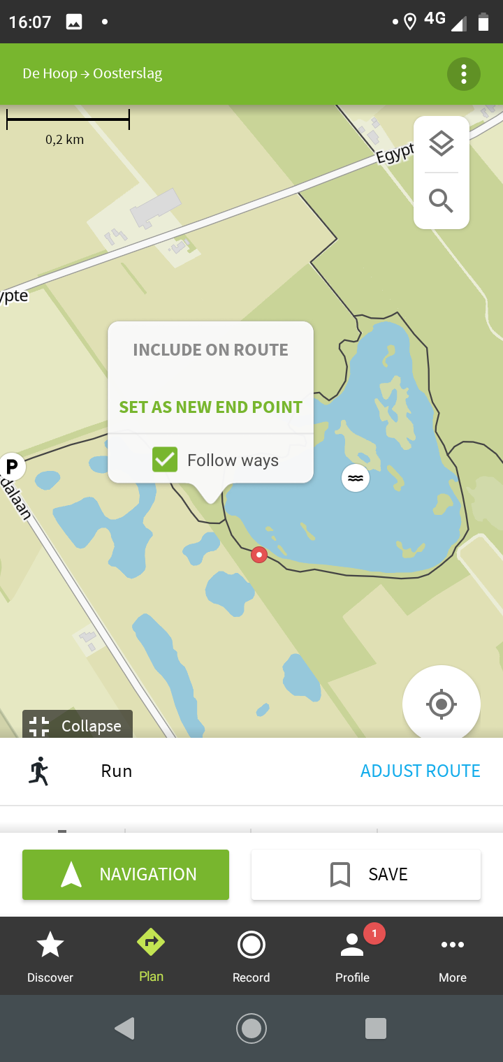
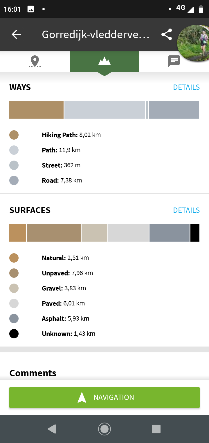
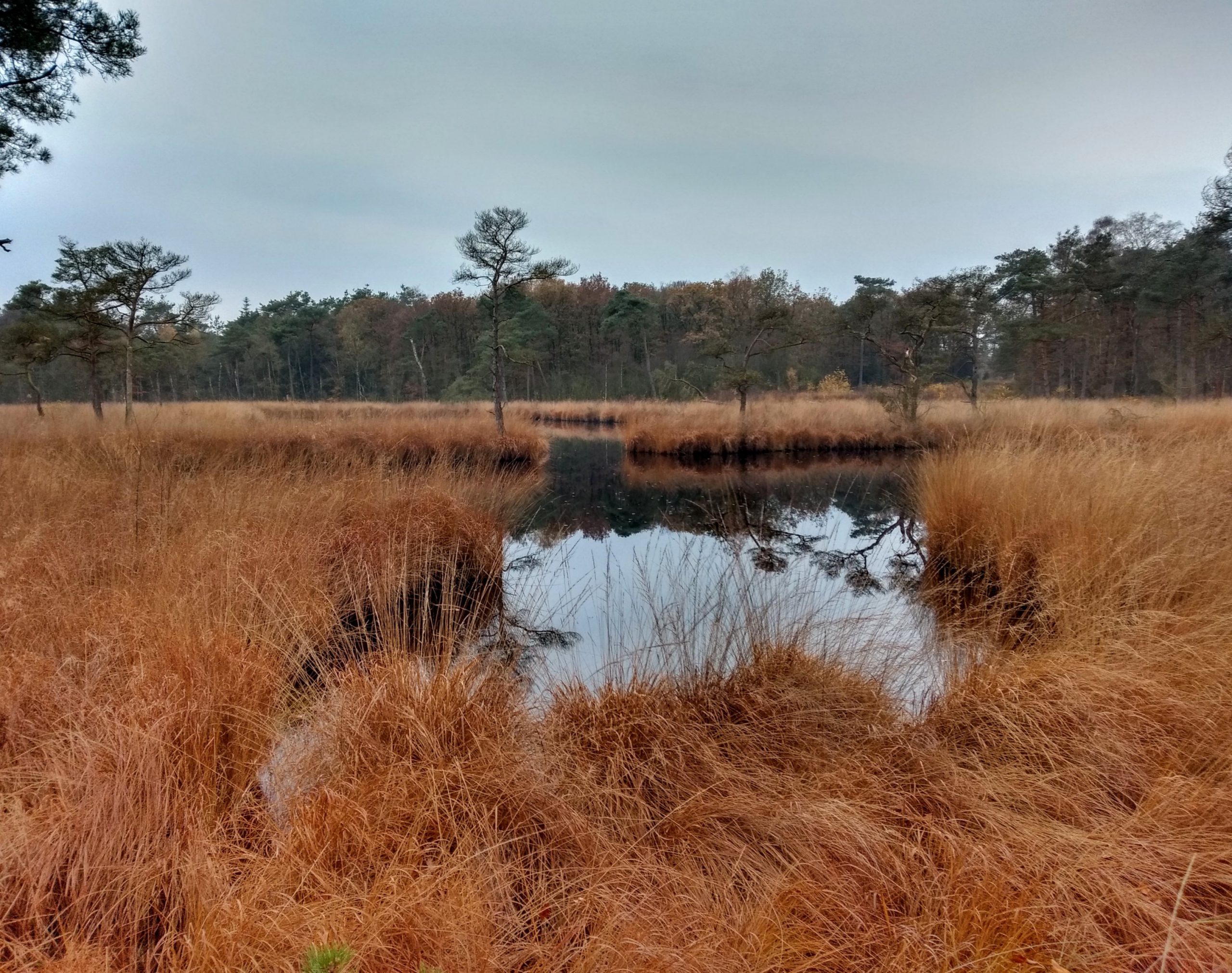
For the Me-Mover, I've been using the app Komoot for a long time. Komoot gives voice instructions when making turns (which are in time, unlike the Google Maps warnings), has detailed maps of the landscape, calculates the percentage of paved roads and exports to gpx so it can be used in the watch. Setting up the route works similar to creating a route in connect: you enter a start and end point and then select intermediate points on the map. I managed to expand the basic route via a small pond that I found on the map, and I chose a piece of forest that I like as an extra point. This way I ended up with a 28 km route, which I exported to the Garmin on the train.
Walk the route
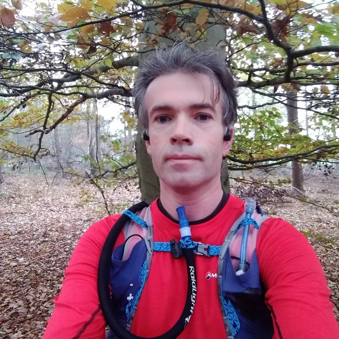
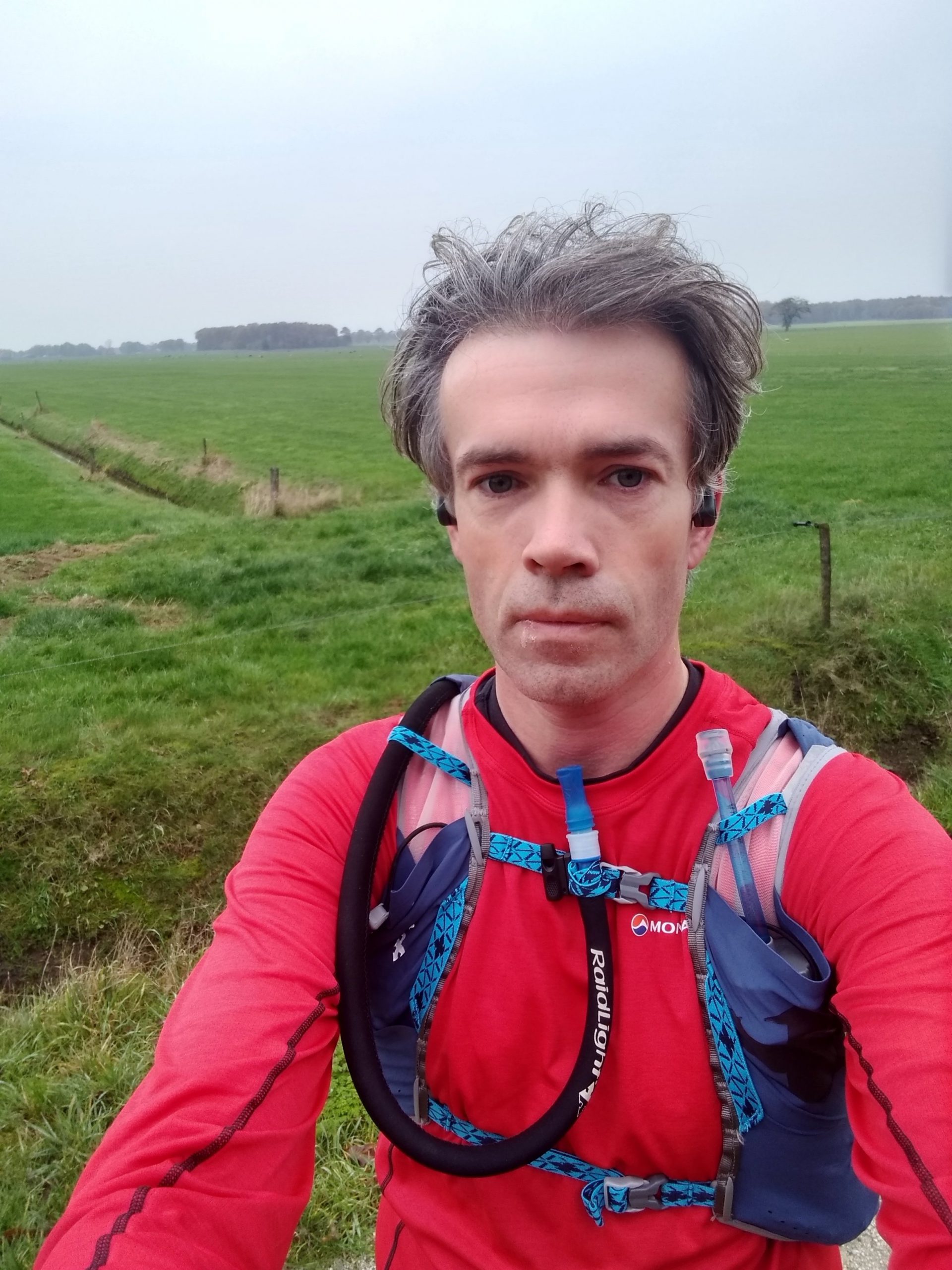
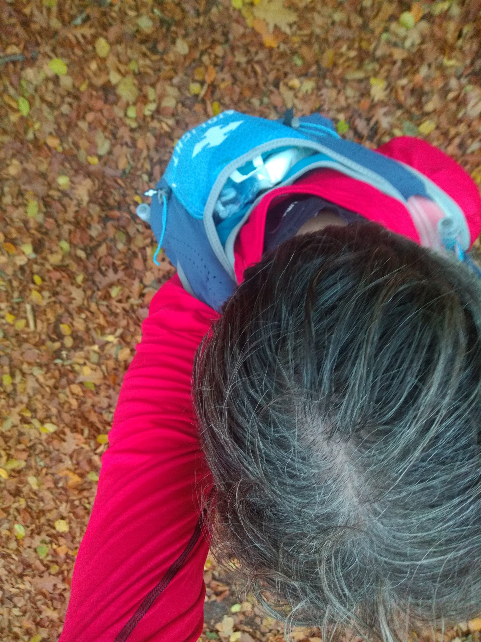
Considering the route, I figured most of the trails would be doable with regular shoes. Unfortunately I only had Altra Escalante Racer London with me, and no trail shoes. But since most of the trails would be on sandy soil, that seemed ok. The rest of the gear was long, because of the cold, and heavy, since I had to change at my parents to not cool down too much. That extra weight is of course a good training too. In the backpack I brought: 3 pieces of nougat, 3 gels, 0,5 liter Hammer Heed, 0,4 liter Generation Ucan, 1,5 liter water, wallet, pen and pincers, raincoat, sweater, thin pants, socks, underpants and biodegradable baby wipes. The latter mainly as precautions after severe intestinal cramps earlier this week…
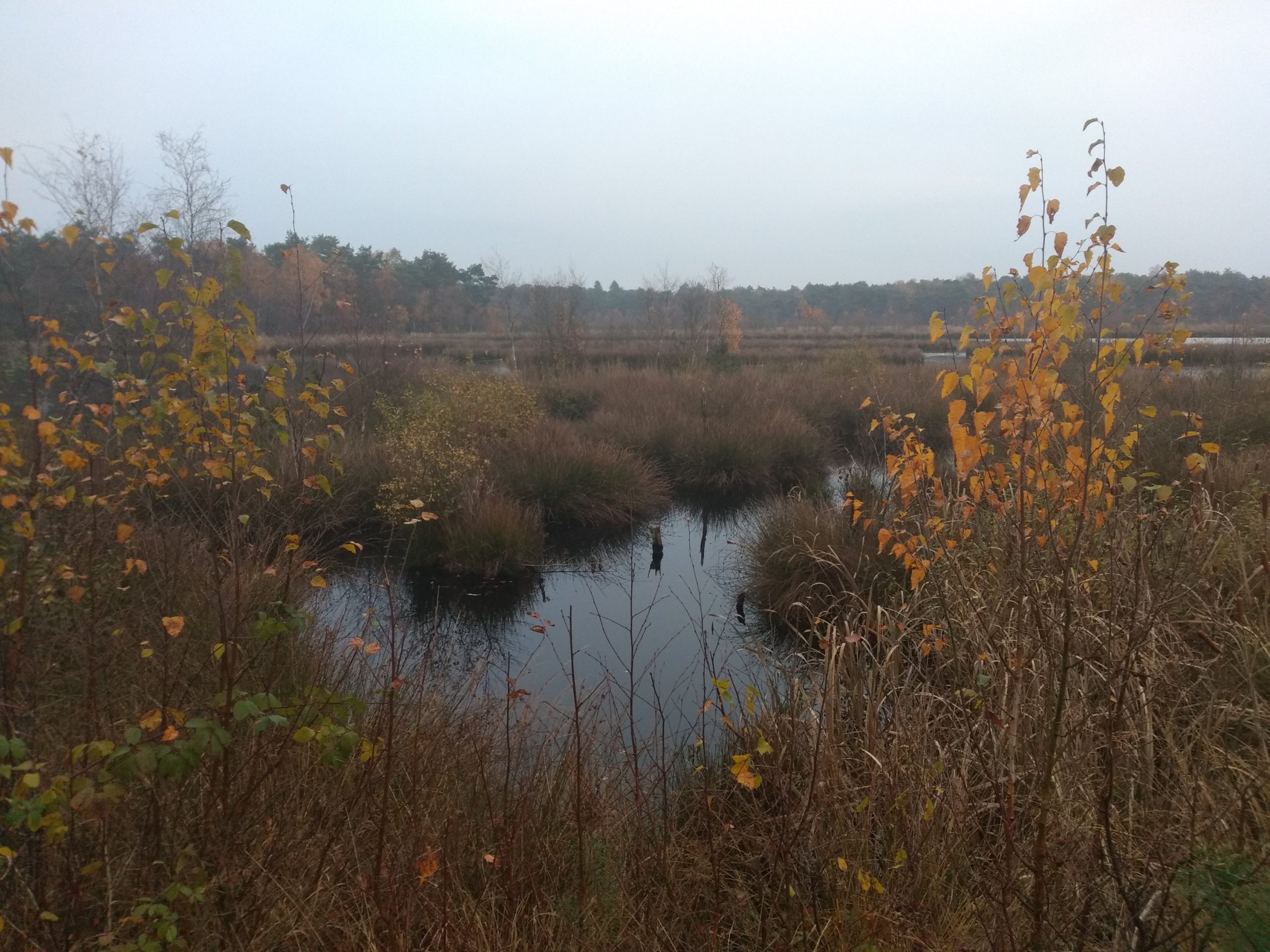
At a quarter past eight I went quietly in the direction of Drenthe. It went well, the weather was fine, the roads were quiet. After the first few kilometers of paved roads the softer paths followed indeed. I walked for miles over sandy paths and shells between the meadows. And following the route on my watch was very neat. All small forest roads were well marked on the Fenix 5x' own map, so I could see I was taking the right turn when several roads were close together. This is something which went wrong sometimes with the crumb trails in the Suunto.
Recognition
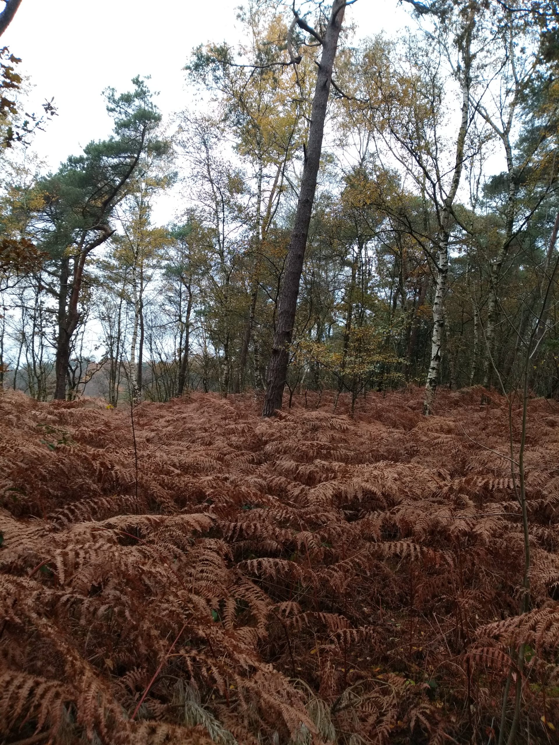
The road Komoot pointed out to me was genuinely beautiful. I passed a lot of small woods and fens that I had never seen before. It also took a long time, I think until kilometer 22, before I recognized the surroundings again. I often walk near my parents, but apparently I usually walk in the direction of the interior of Drenthe (Dwingelderveld and Drents-Friese woud). Next time I will definitely extend the route to include some more of those areas.
Only at the end came the first error in the navigation system. While I already saw my parents' house, and knew I had to change directions, the Garmin didn't indicate a turn. The map showed the route as I know it. Maybe it's partly because the paths are sandy and you have to walk through a meadow for a bit. Only when reaching a paved cycle path, I could rely on the beeps and arrows again. As long as you look at the screen yourself, it is not disturbing. I think I will use Komoot more often in combination with the Garmin in the near future, looking for unpaved paths.
In the end, I walked 27,5 km in 3:15 hours (including photo stops). With that I even reached my parents earlier than agreed. Still pretty fresh in terms of running. Nutrition during the run: 1 Ucan, 1 Hammer Heed and 2 nougat. Before the run I injected 2 units less insulin at breakfast. At arrival the blood sugar was 10.8 mmol/l.