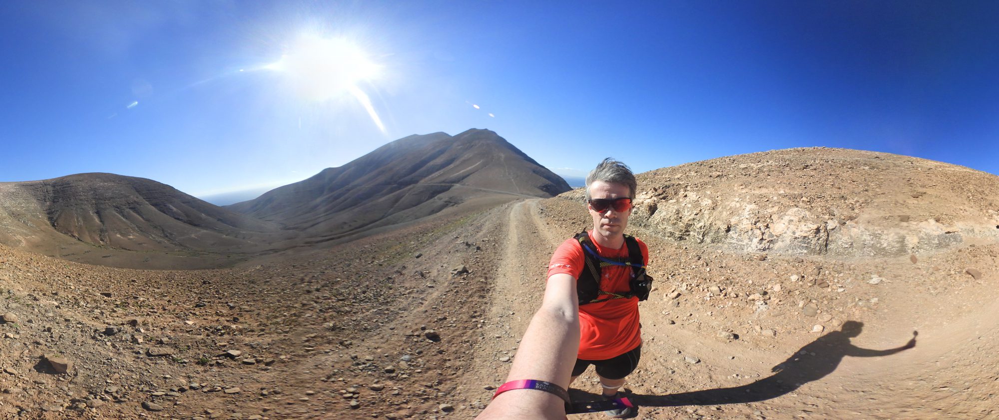
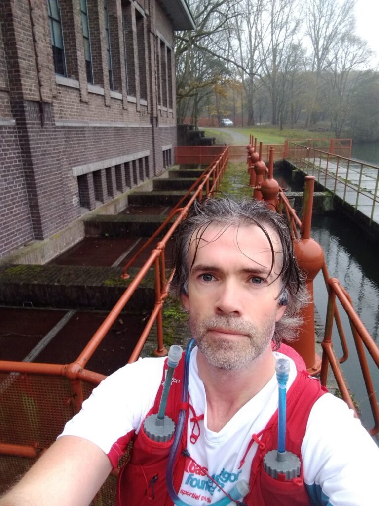
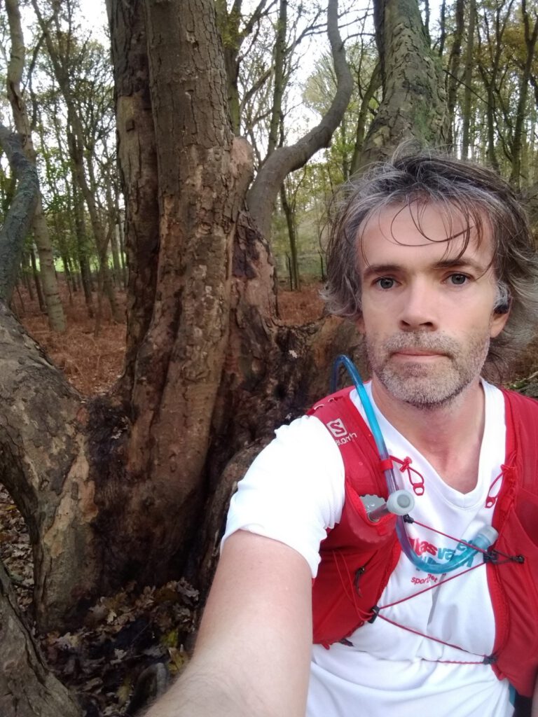
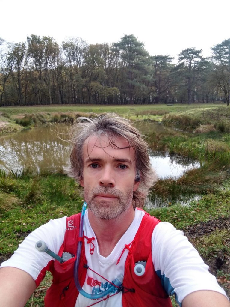
Expect a selfie overload on this route… as I had to prove that I have seen all 15 points of the Viking Outdoor Waypoint Challenge. All in all a very slow 38 km with dip on World Diabetes Day.
To keep motivating yourself, you have to try something new every once in a while. I really feel like the Circumpolar Race Around the World is not cutting it because it's a team event with few updates in the central Facebook group, so it does not really motivate. Viking Outdoor starting a new waypoint challenge in November, was really good timing. The idea behind the challenge: you have a number of GPS coordinates scattered over different nature reserves, you come up with your own route and post a photo (selfie or with mascot) as proof that you've been at this point. A total of 250 points can be scored. You have one year to finish them all. A nice challenge to improve not only your running, but also your navigation skills.
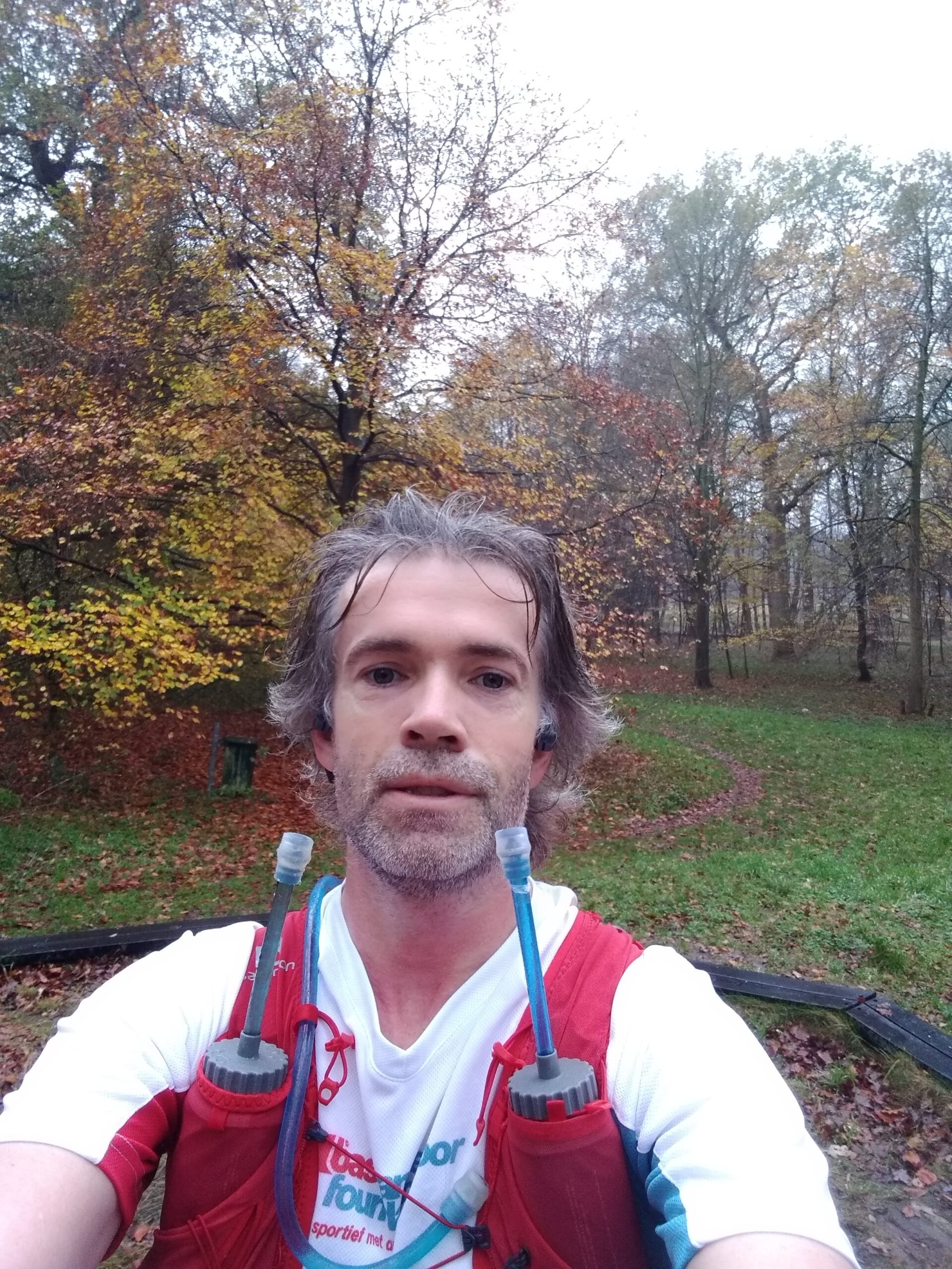
Actually I wanted to start right away in the first weekend of November, however toothache threw a spanner in the works. Almost a week of hellish pains and missing out on sleep. Meanwhile the tooth has been temporarily helped, but the slouching, the fatigue and the fear for further pain were not setting me up to do much during the week. Today would therefore also be a kind of trial-and-error trip for my health. After all, on World Diabetes Day I have to set a good example, right… in Bas van de Goor Foundation ... outfit even.
Excel sheet with points
If you register for the Viking Waypoint Challengeyou will get a list with 250 gps coordinates (some still to be added) grouped by area and with a short description of the object to be found. Because you actually have to photograph the objects, it's not enough to create a route that simply passes all coordinates.
Of course, you could also choose to run from coordinate to coordinate via your watch. But I thought it would be more fun to make a route; then you'll have a better estimation of the number of kilometers to run – also important for fueling in my case – and you'll avoid running pieces twice. My choice fell on the points in the Waterleidingduinen and Leyduin, especially because this is relatively close to home.
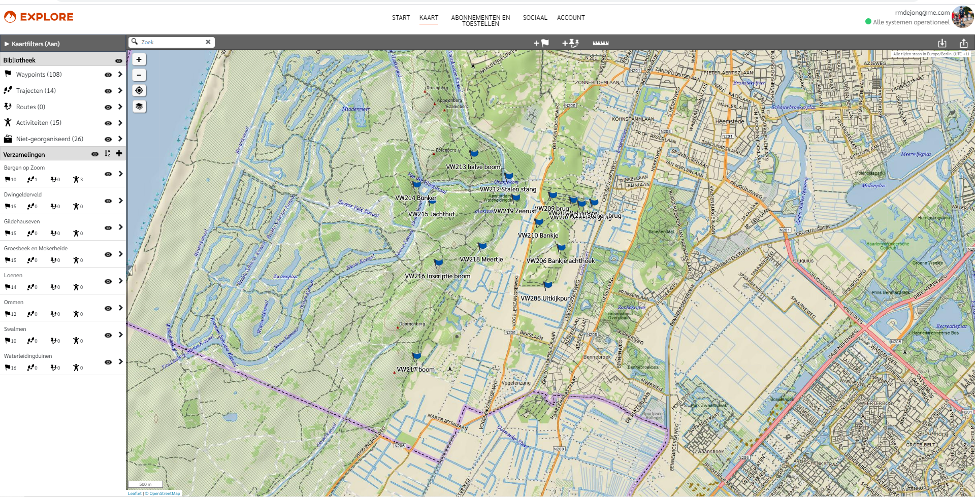
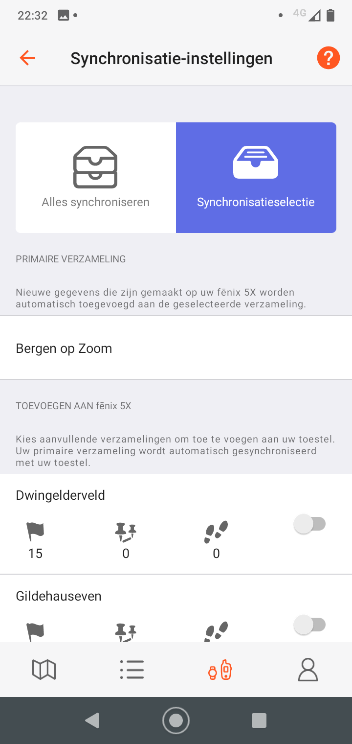
My first step was to enter the points in Garmin Explore. It's a separate app/website from Garmin, in which you can add individual coordinates in addition to routes, something that is not possible with the more commonly used Connect. When you create the coordinate, you immediately enter the description as a name, so you know what you're looking for.
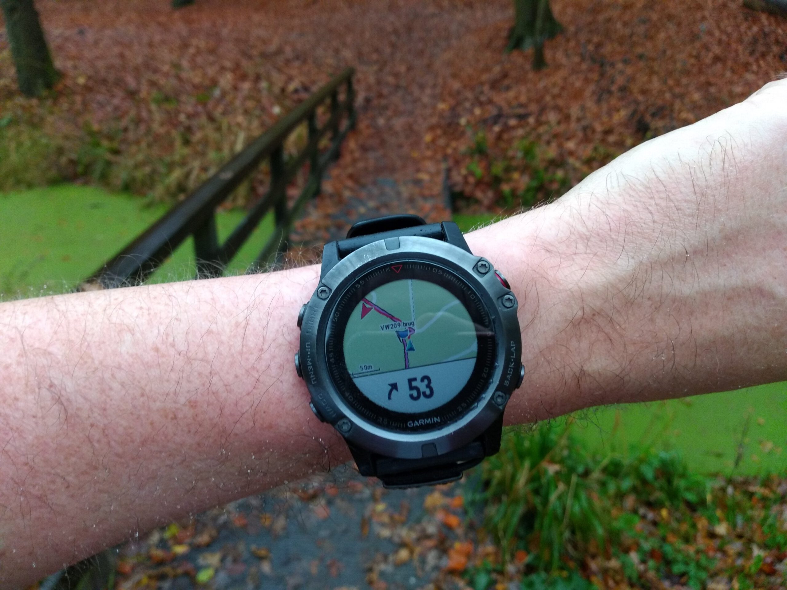
Of course I tested this at home. To what extent my Fenix 5x would support waypoints was not clear to me. It didn't go well the first time. Explore is also a separate app on the phone and it has to synchronize independently with your watch, even if the rest of the data in your watch comes from the Connect app. You should reserve 5-10 minutes to synchronise, even if you're only transferring part of the data (only the points I needed a day later, plus my test point). What's more, there's no way to warn you when you are in the proximity of a point, something which is possible on older models such as the Fenix 3. You will really have to pay attention until a little flag appears on the screen. Depending on your zoom level, this means checking regularly.
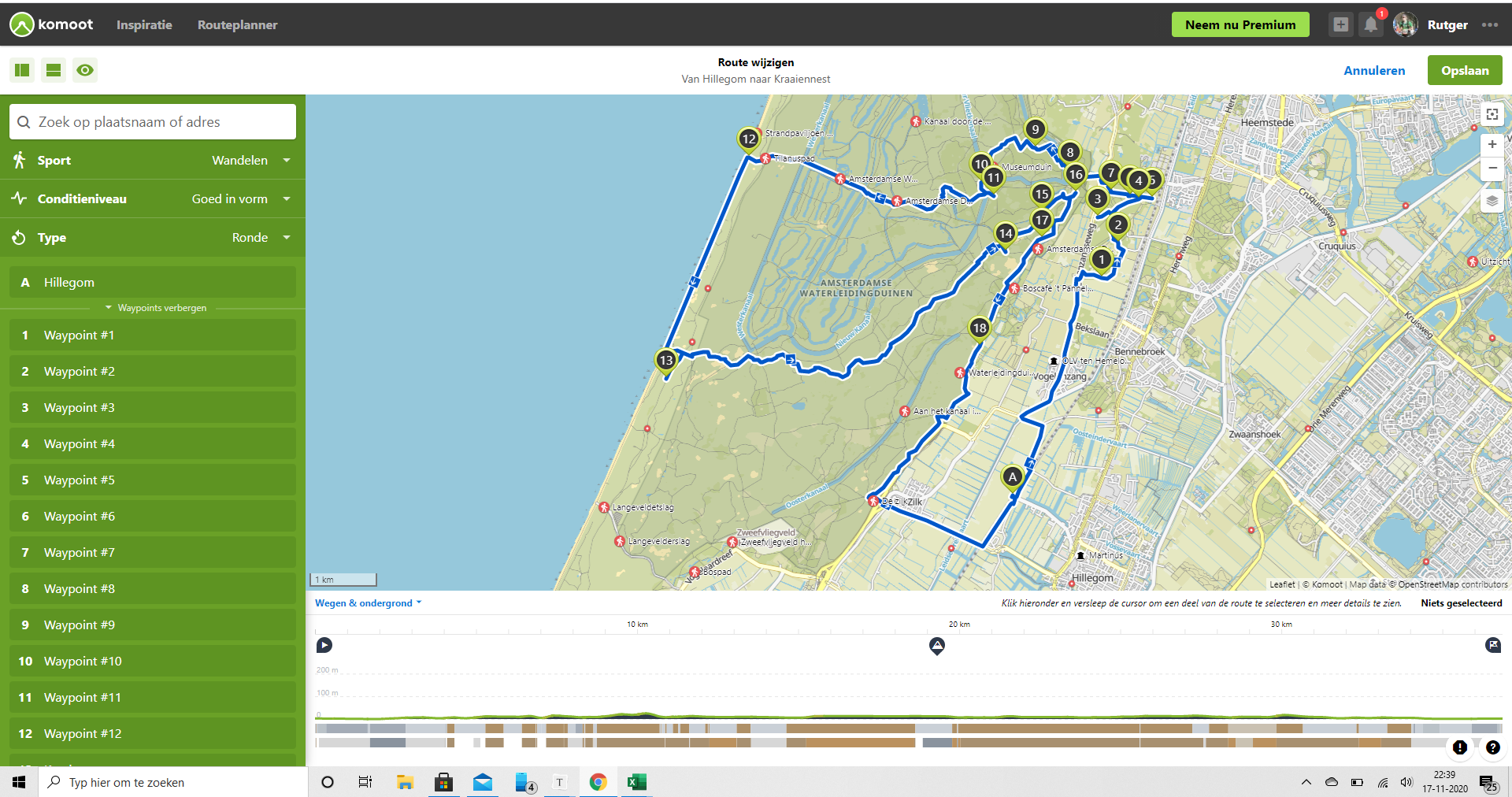
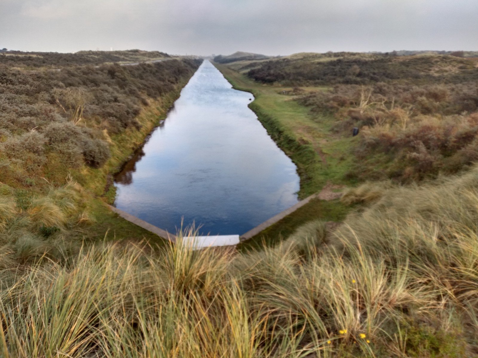
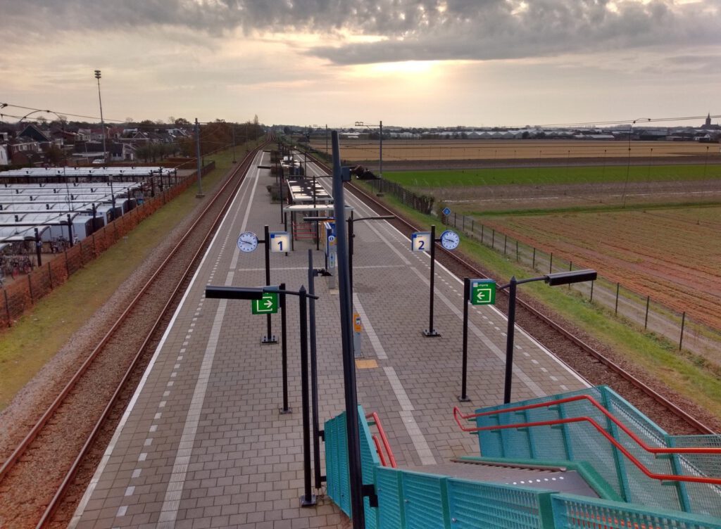
My next step was to put the points in Komoot and make a route out of it. The export from Explore was not neat. Whatever you tell it to do, the site simply puts all the points and routes it has into a single gpx file. In Komoot you can choose the correct – automatically connected – route; the connect is based on the collection you export and which you have to create per area. When you connect the points, straight lines will automatically appear. The points do not all appear to be in a logical order, which is actually a plus, because if you switch two points into Komoot, the program automatically calculates a route via existing paths. Shifting and measuring I ended up with a route of about 38 km starting from the train station of Hillegom.
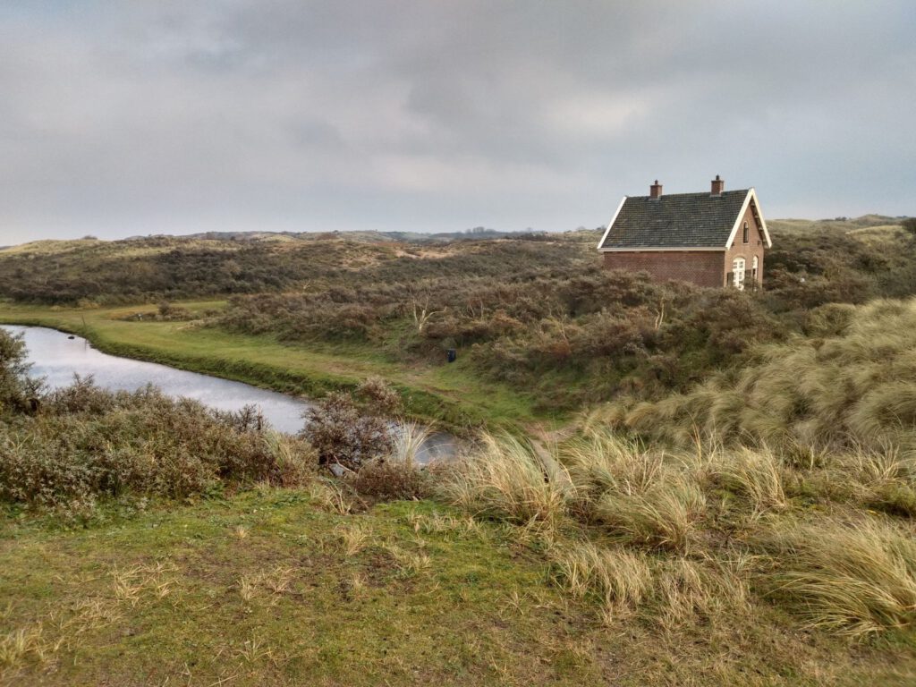
Viewpoint


VW205 
VW206 
VW207 
VW208 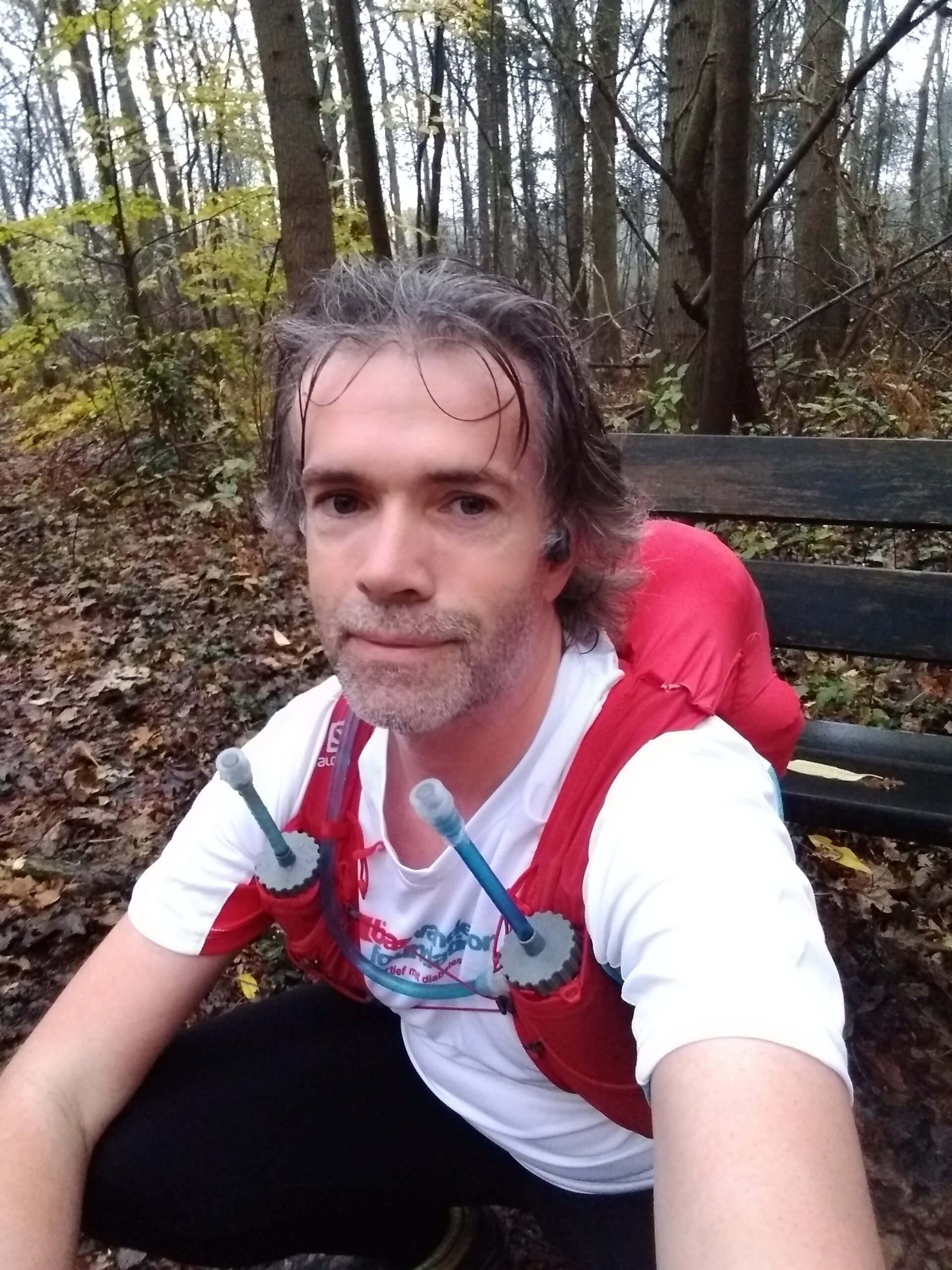
VW210 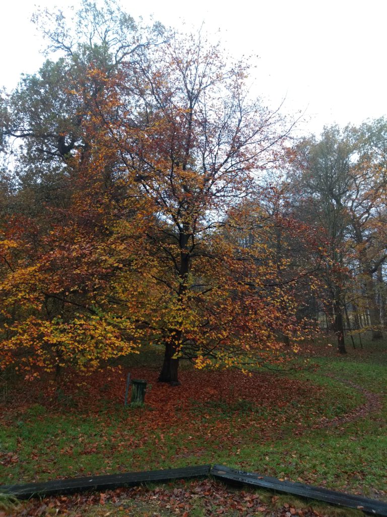

VW209 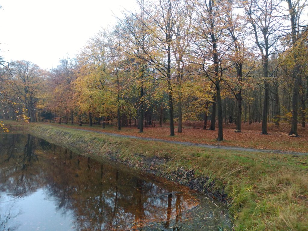


The first 4-5 kilometers from Hillegom were a bit boring on asphalt. Without a car you don't always have a choice. I hadn't kept a list in advance of the points and their order, or when the first one would come, but after about five kilometers I looked at a steep hill close to my route. It was a good thing I looked at my watch: the viewpoint on that hill was a waypoint… and because it wasn't a through road, Komoot apparently hadn't guided me to the real point.
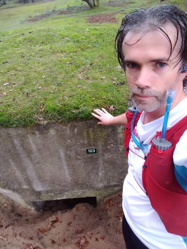
Because of the flag I was allowed to run upstairs and take a picture after all. I had to squeeze myself for the picture so that it would be less clear where it was, but that's alright. Next time I do have to remember to keep my eyes open early in the morning, though. And I had to keep my fingers crossed that this was really the first point and I hadn't already missed one.
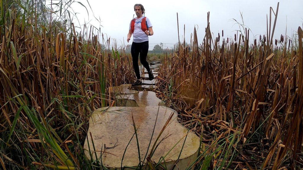
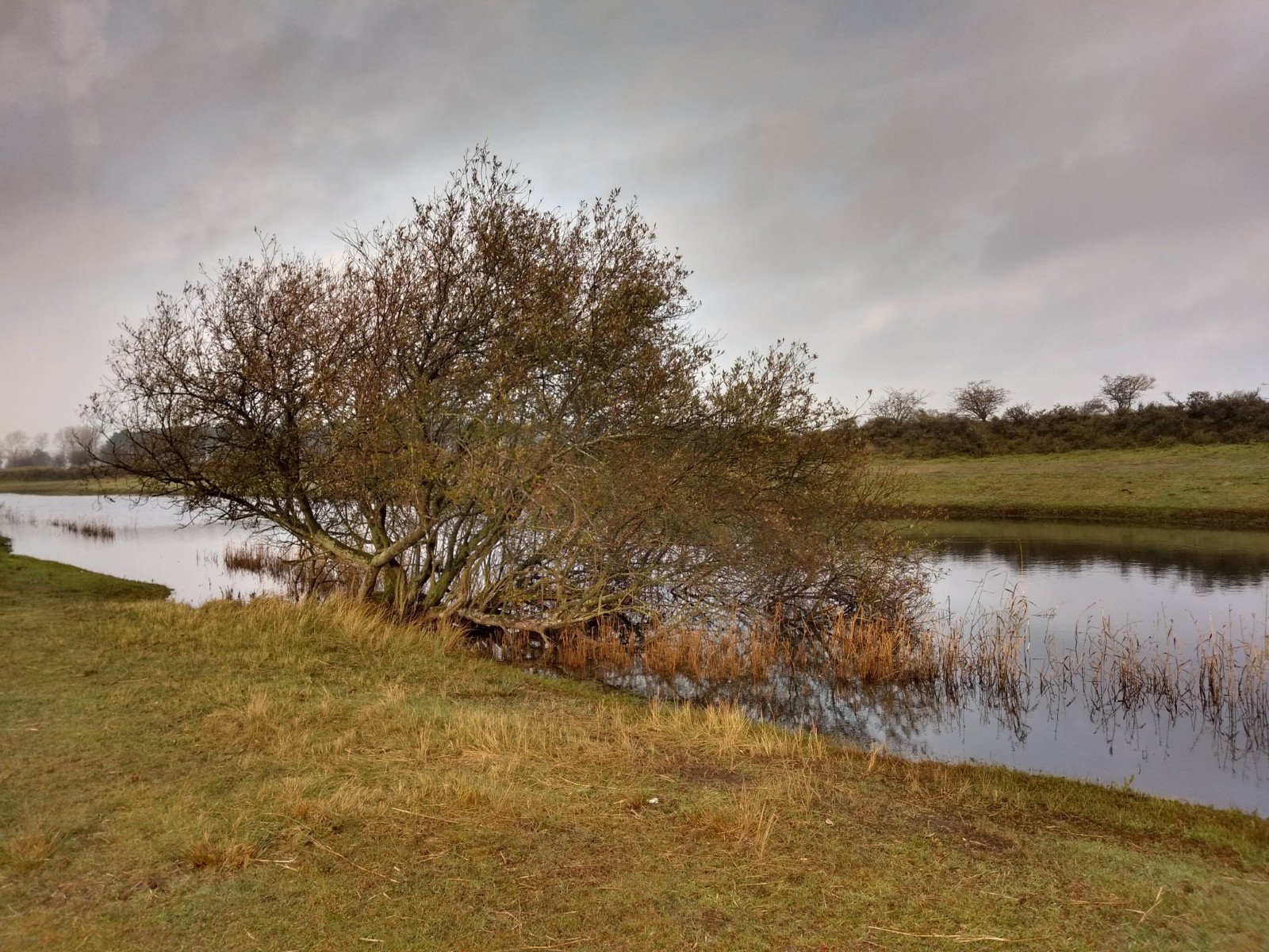
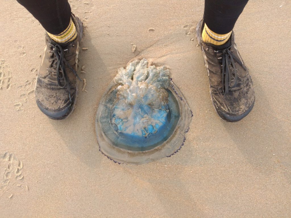
Soon more flags followed. Because it was getting busy in the area – despite the glum weather – I was worried a bit that the point to be photographed might be an occupied bench. In the end I only had to wait for a while in just one case. The ‘stone bridge’ - stepping stones - was slippery and several hikers wanted to pass it.
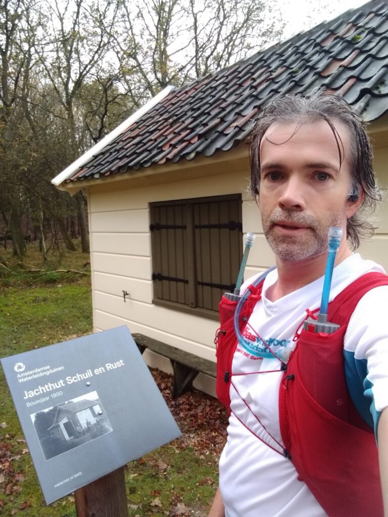
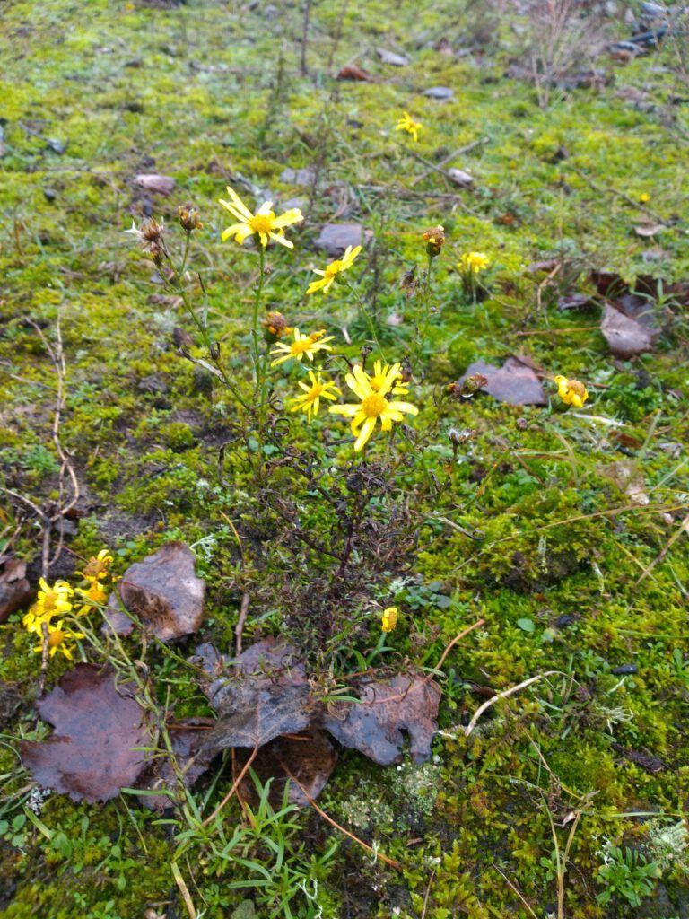
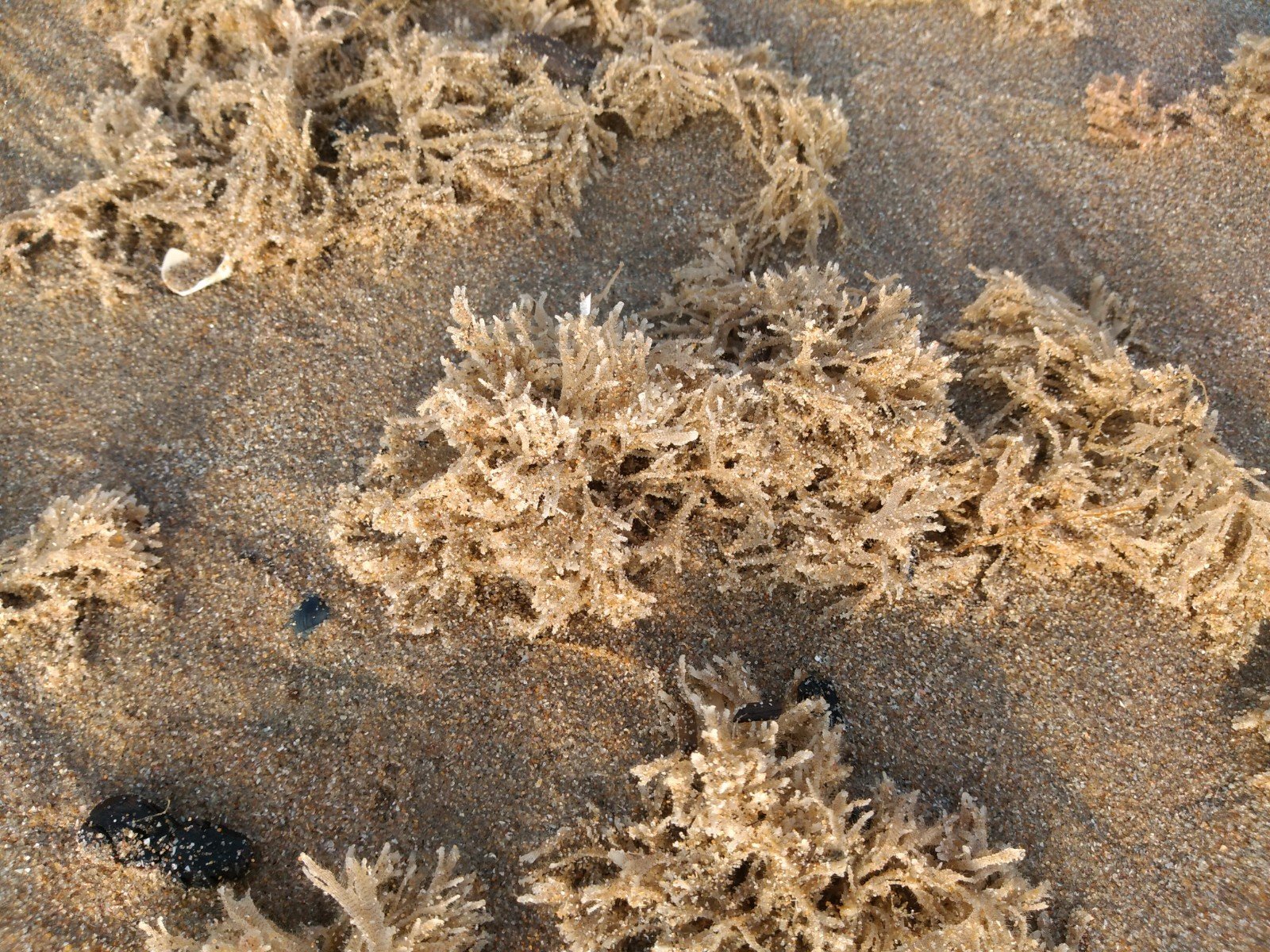
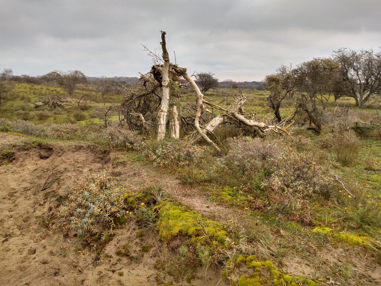
Finding the right point sometimes led to nice surprises, such as the stepping stones I already mentioned and an 'ooft' cellar. The latter is an 18th century cellar to store fruit and vegetables. Under the ground it is cooler and if you put ice in it in the winter, you can keep the ‘ooft’ in the cellar until the next summer. On the list, this cellar was indicated as a secret passage, but this was really the only thing that seemed to come close to that description.
Puzzling to find the right spot certainly made the run more interesting. Yet the search and photos held up and I didn't really get into a running rhythm. So I was glad that I could cross over to the next nature reserve, the Waterleidingduinen.
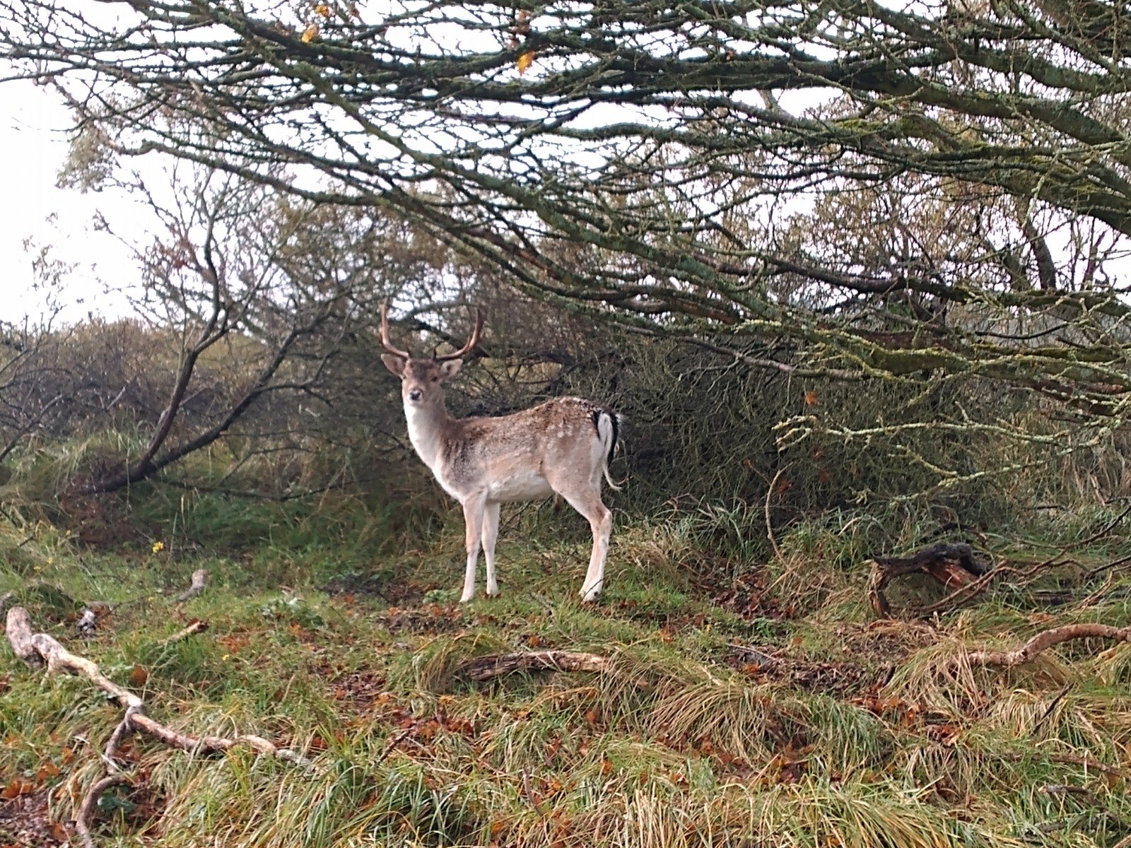
Photo-bombing deer
VW212 or not 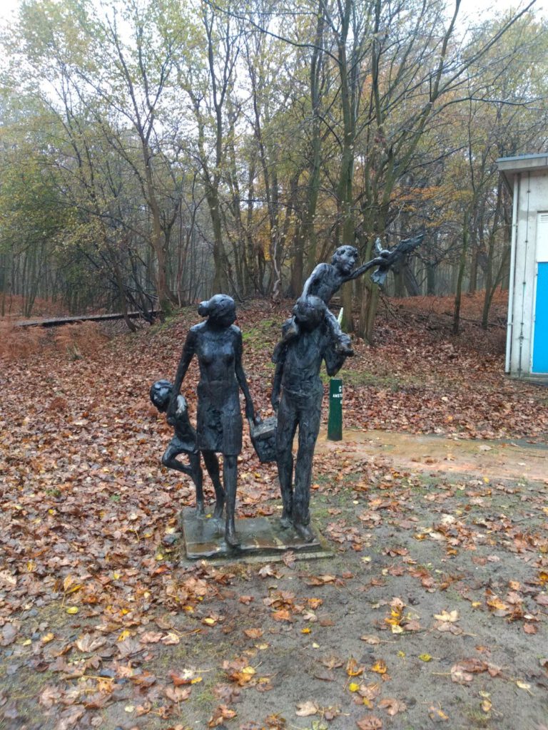

VW213 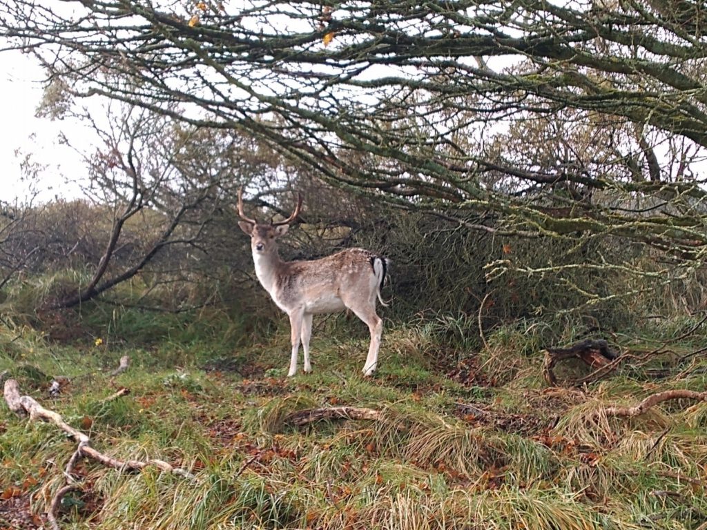
VW214 
VW215 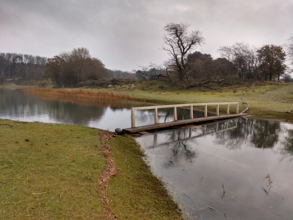


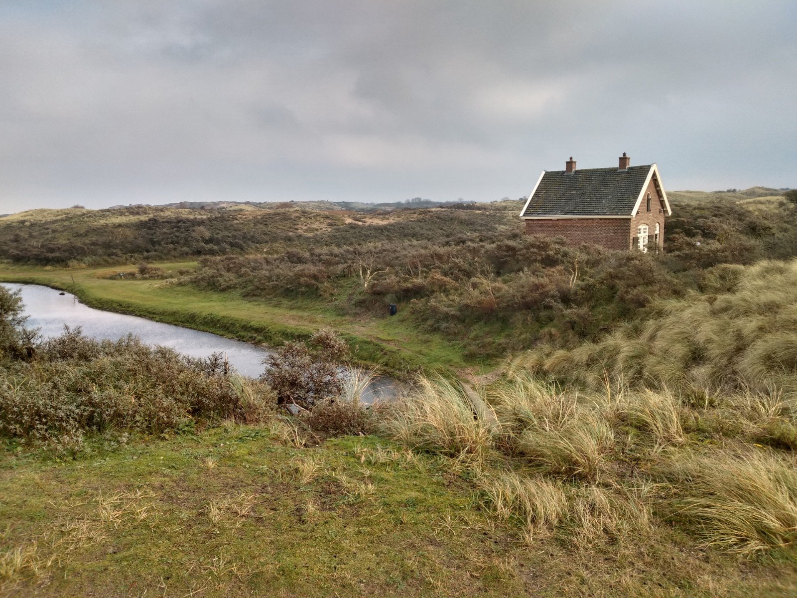
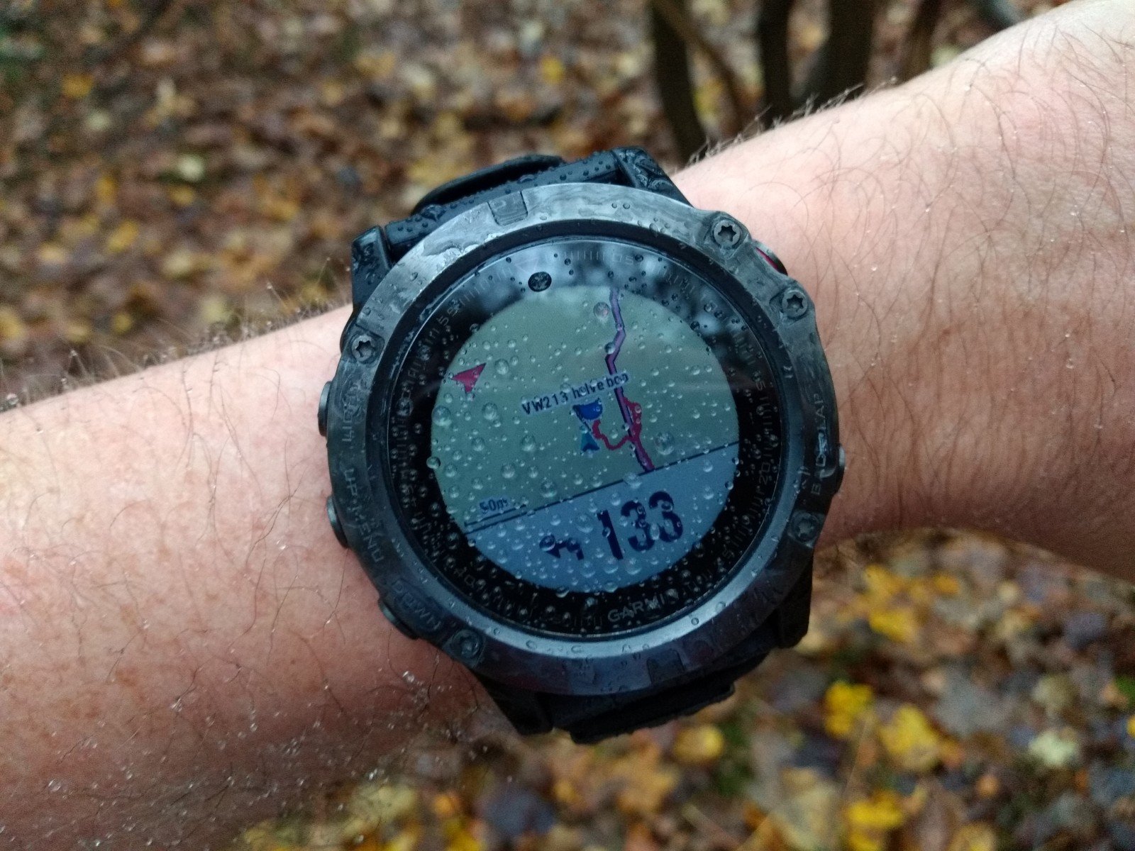
Once through the fences of the Waterleidingduinen – don't forget to buy a 1.50 euro ticket – new points soon followed. In this area they seemed a bit more difficult to find. One I wasn't quite sure about is a ‘steel …’ as could be read on my watch. Apparently the Fenix cut off the second word. I thought it had to be the steel platform behind a small building of Visitor Centre de Oranjekom, but when I got home the description speaks of a steel rod.
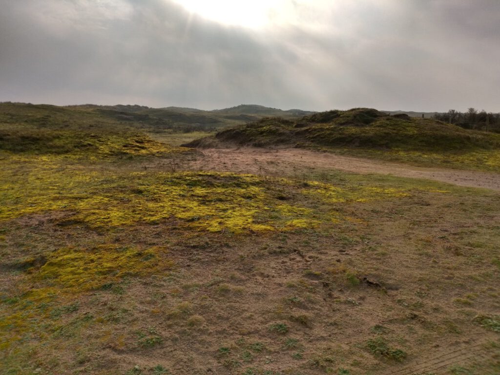
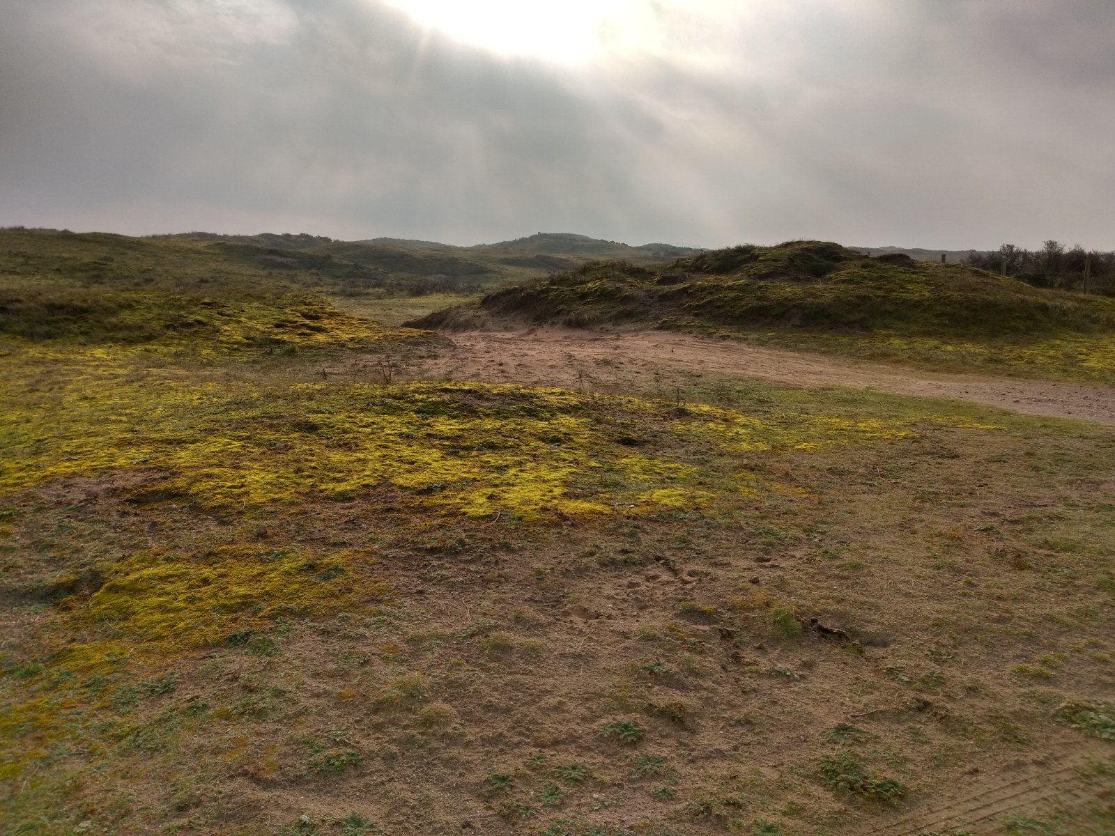
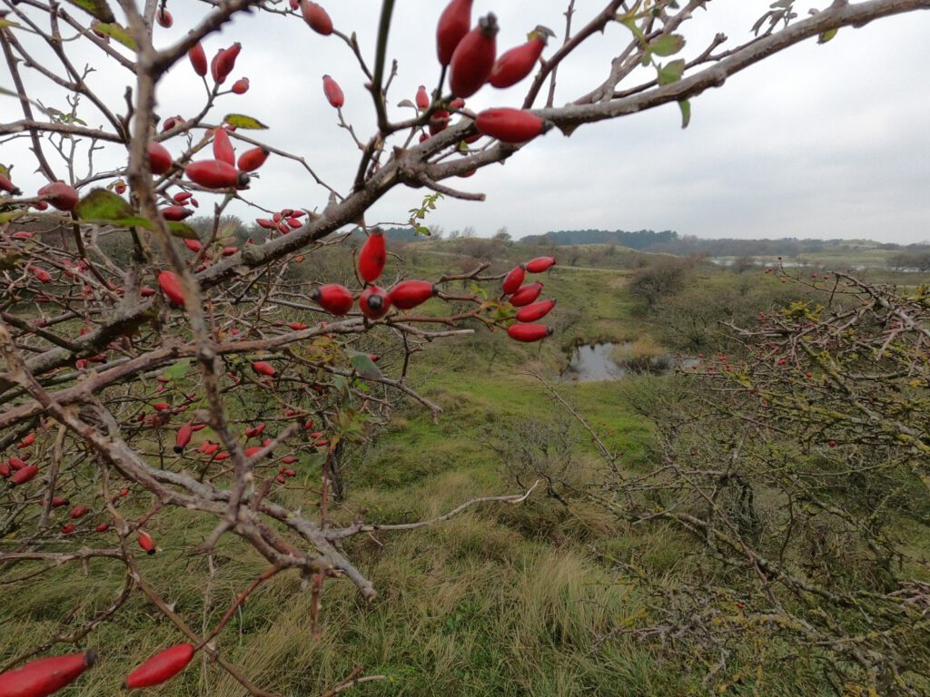
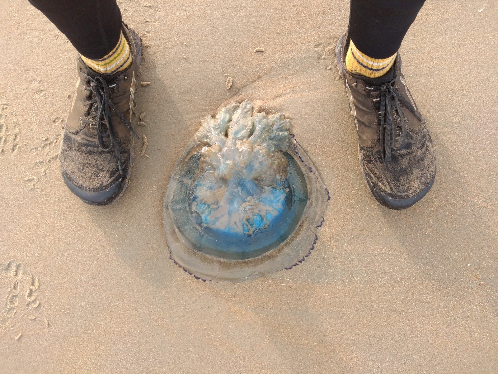
Once in the dunes, it's really great. There is not a very clear path through them, you can run almost anywhere. You are surrounded by bright green, you can climb the dunes. And here it was a lot quieter, which is also nice. Despite the rain it was so crowded in the park, that all the parking spaces were full.
Slowly I ran out of the park towards the sea. Totally superfluous for the waypoints, but I could not resist the pull of the sea. On the way there I walked along the Zwarte Veldkanaal over a muddy grass path and came face to face with a bunch of deer. I enthusiastically tried to get them photographed of course. But that wasn't really necessary. Throughout the rest of the route, I see so many deer at distances of 5 to 20 m, that I almost think I am walking in a deer camp. I nearly had to chase them away for the waypoint photos to prevent photo bombing by those deers.
Warming up with cold


VW216 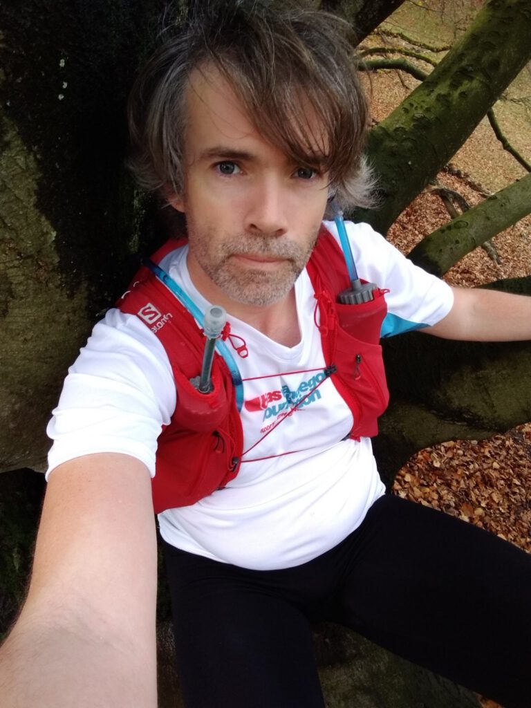


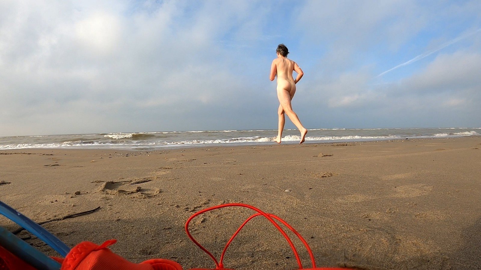


It's always nice to run on the beach. But the rhythm wasn't quite right and because of the slow pace I didn't have my food in order either. Because it was still pretty warm, maybe even a bit too warm for a long tight, I decided to take a short dip. You might think that this would cool me down enormously, but because of the cold the blood is flowing better again and I felt a bit warmer and more energetic afterwards. Ready to go back into the dunes at Noordwijk.
My body clearly told me it was not top fit on the dune paths. Horse trails, in which I sank deeply when I tried to run over them. Of course the verges were not suitable for running either. Swearing, but still going on. Luckily I know I can run for an extremely long period of time if I have to.
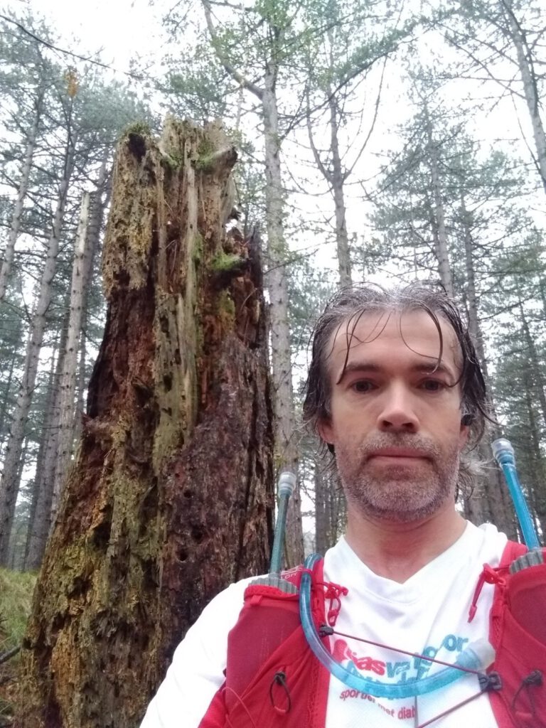
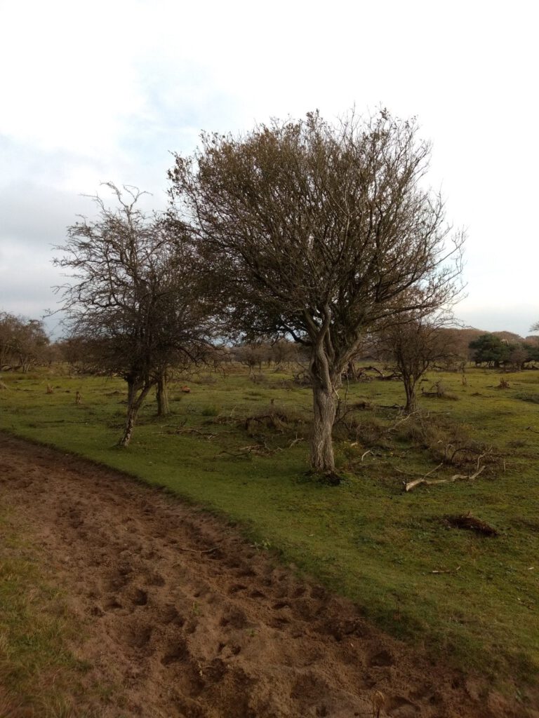
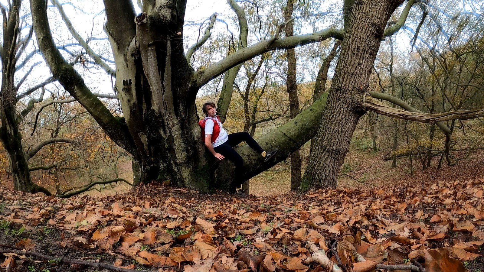
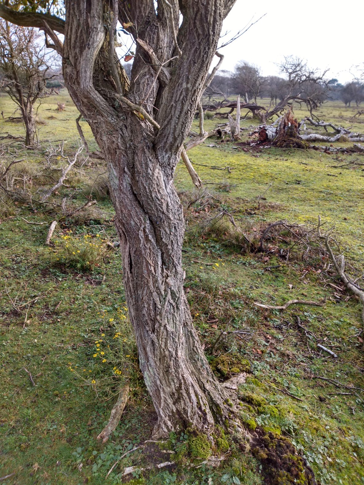
My most difficult waypoint was nearby one of these horse riding trails. I had to look for an inscription, but couldn't find anything. In the meantime I had walked around it over ten times according to the map. I know gps can have errors (10-30 m), but an inscription on a tree in a woody part doesn't make for stand out points either. Eventually I zoomed in to the maximum scale on the map (50m scale is way too far for this one) until I discovered that the point was quite precise on a special, large tree. Get to it and walk around it, and yes, there was the inscription I was looking for. Glad to cross that one of the list.
Mascot wanted
VW217 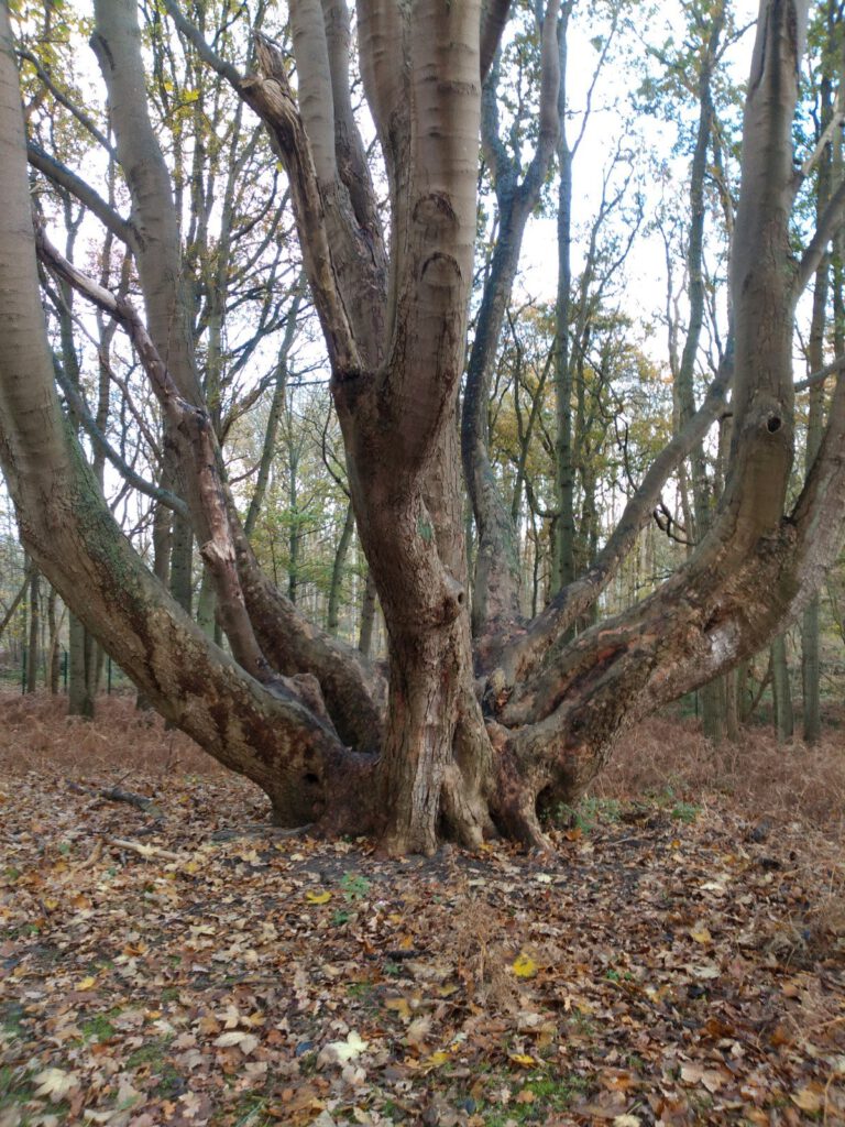
VW218 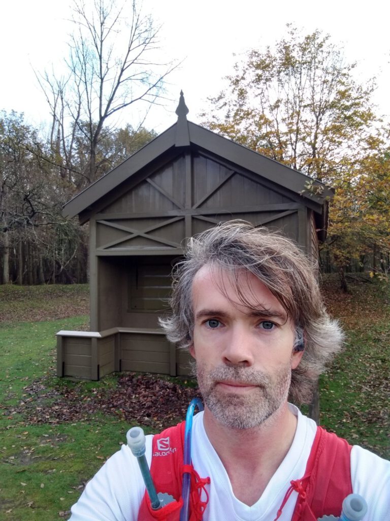
VW219 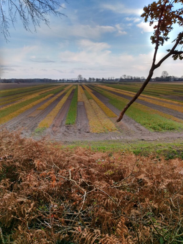
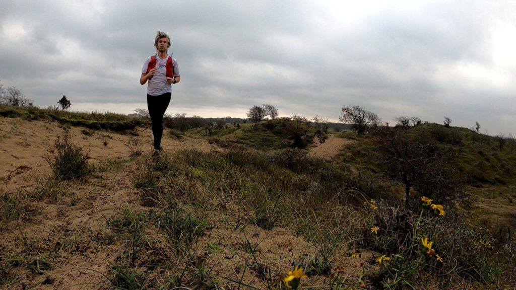
Once I had photographed the last special tree for the waypoints, I'm pretty much done with all the selfies. Not only does it seem a bit strange when you are in every picture, it is also hard to get both yourself and the object of the waypoint on it. For the next run I will try to take a sort of mascot with me.
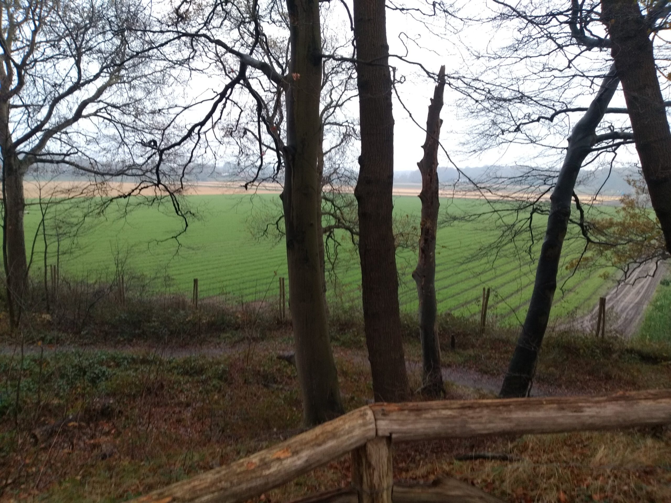
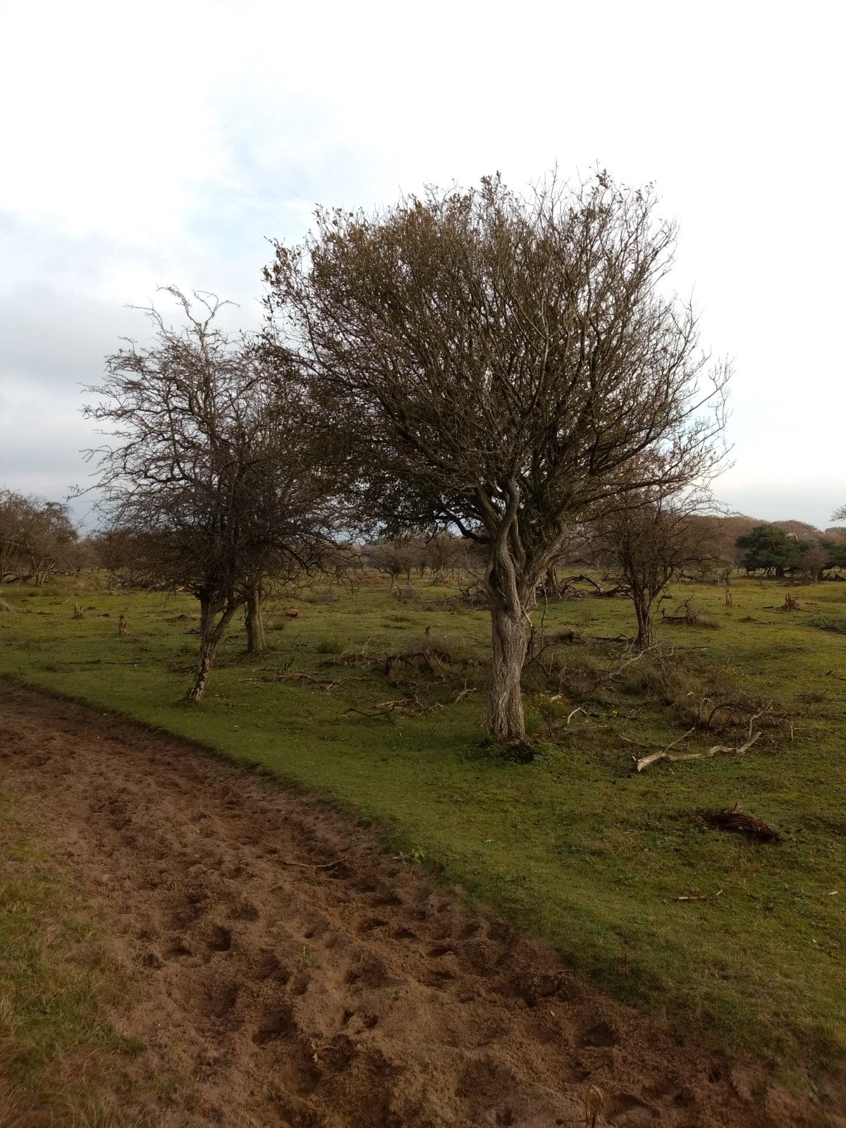
Once I get out of the dunes, I end up in an agricultural patchwork. In spring it is even more beautiful here, because on these sand dunes they grow the flower bulbs. Definitely worth a look then, but even now the boxes with different flower varieties offer a large range of autumn colours.
The last kilometers go over the asphalt back to the train. The speed can go up a bit here. When I look at my watch, it looks like I walked the whole trip. Only about 6 kilometers per hour. Of course I made a lot of pictures, searched for waypoints and did a dip in between without pausing the watch. However, this time also reflects the problem of the challenge: by searching, you don't really run as effortlessly. The puzzling is certainly motivating and fun to do, but I would spread the waypoint trails a bit and not include them in all the long training sessions. For now I am definitely curious how many I will have found when the challenge ends.


It's great to read how you handled this Waypoint Challenge. I also read that you're messing around the same way to set up your route. That should be easier, right?
Besides, your round looks pretty cool. Would you like to send me the GPX as a basis for me to work out a route?
The rumble is secretly fun too. But I'm someone who can walk past a point radius like that, so I'm actually hoping to find a way to get a warning when I'm around.
By the way, there are a few more pieces in this route that you might want to cut out because of asphalt. https://www.komoot.nl/tour/r281689333?ref=atd
Great for reading. Of course you don't have to make a selfie if you bring a mascot on your walking trip. Then you photograph it all the time.
I put the WP out there. So hope you enjoyed it. That rod on the stakeout platform is right there. It was kind of a stepper into the water.
Now it's just a matter of finding a good mascot. My idea for one just came up, but too big for the racing vest.
We make the routes in basecamp and walk with the route on watch and the waypoints on a handheld gps. And indeed a mascot, because we don't have to be photographed all the time.