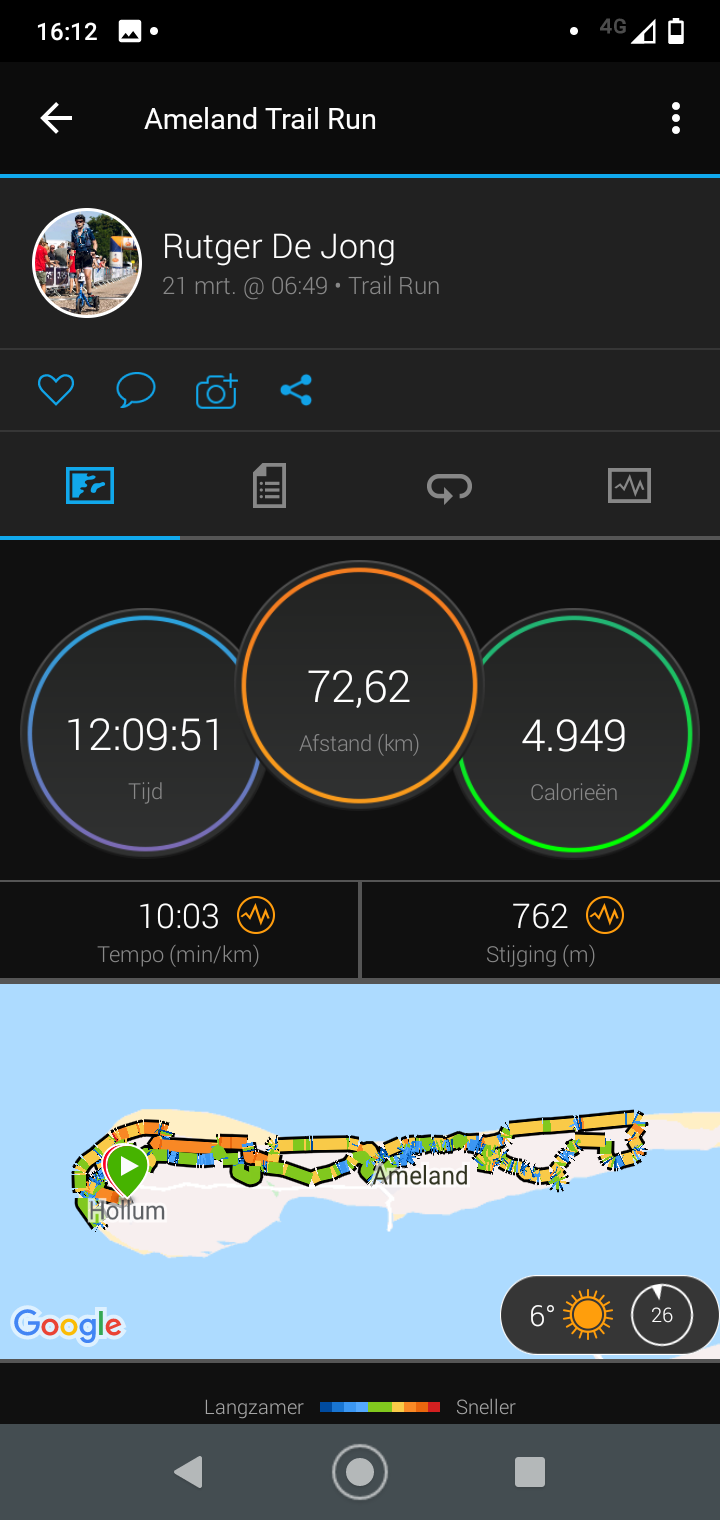
Instead of cancelling my apartment on Ameland for a second time, I decided to run the LighthouseTrail on Ameland self supported. Why a 60 km trail became 72 km.
The shirt of the Lighthouse Trail Ameland 2020, officially sold as 60 km, has been in my closet for almost a year. It was the first run that was cancelled due to corona. Later in 2020 it was possible to run it, but it did not fit my agenda and the trail I swapped it for, the Graef Castricum Trail, was cancelled. Our Wadden Islands have perhaps the most beautiful nature of the whole of the Netherlands and so I registered again for 2021. Again a disappointment, but this time I decided not to cancel. Especially in the rut of working from home and being inside before the 9 p.m. curfew, it seemed important to me to let this happen to regain some positive energy. Self-supportedwas the way forward. I had to earn the right to wear the shirt, didn't I?
Breeding season
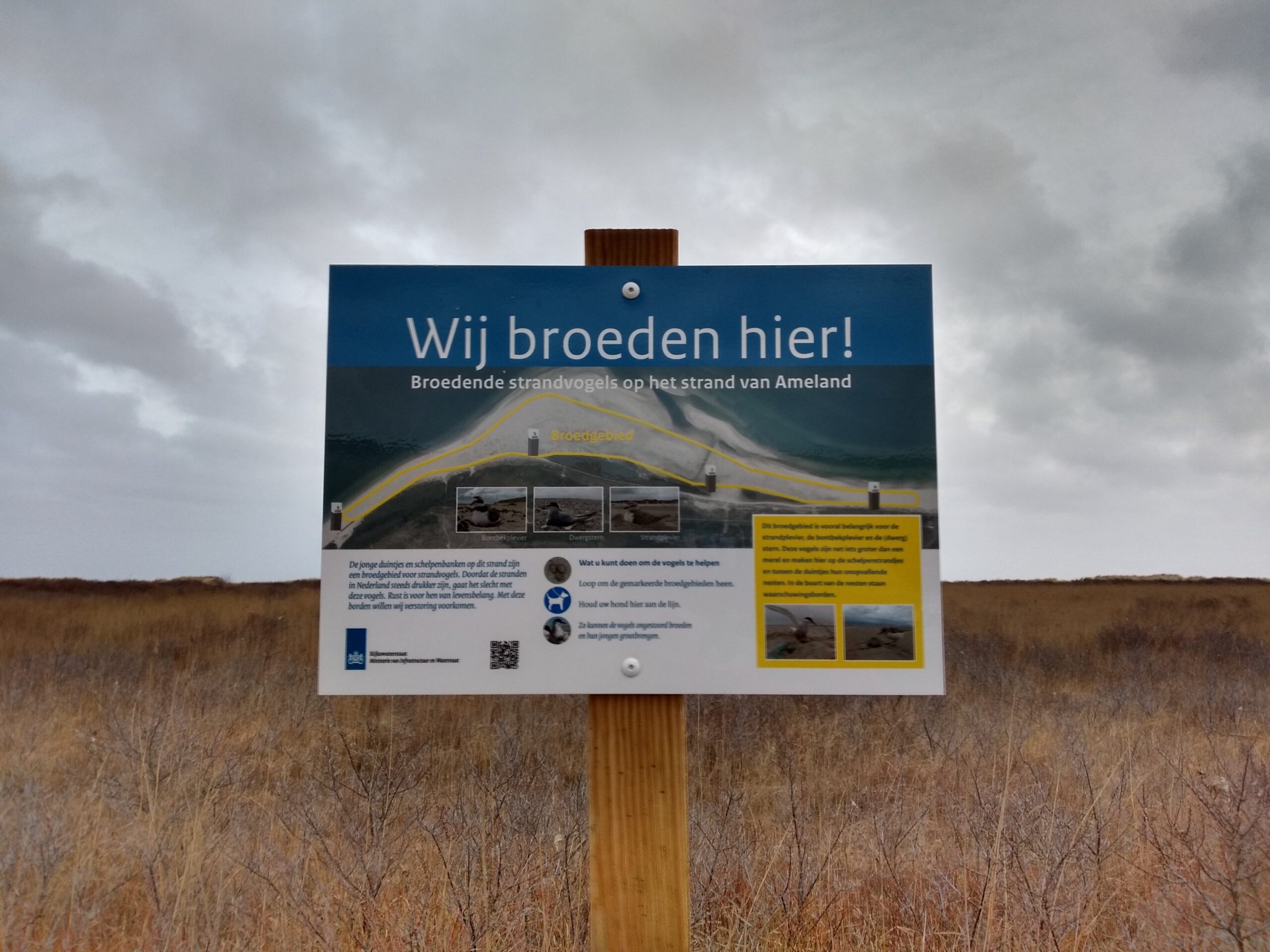
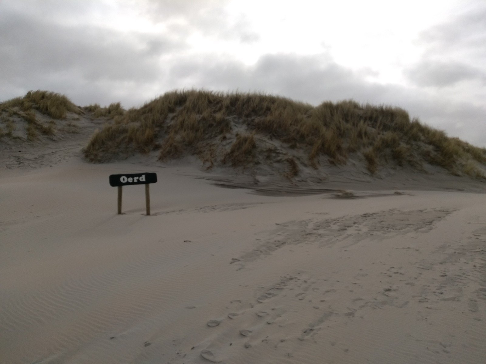
That I was not the only one who wanted to run in the trail weekend, was clear from the comments on the Facebook group Traillopers/Trailloopsters. Organizer Robin Kinsbergen (Cairn Trails and Adventures), did warn us: he never spreads the route to keep the paths quiet and because part of the route was only allowed to be run because of special permissions from it Fryske Gea (the Frisian variety of the National Trust). Especially now the breeding season has just started. As Robin has made arrangements I have not completely opened up my route on Strava.
Fortunately Robin was helpful in adapting the route. After consultation with Fryske Gea, it appeared that the breeding season would probably only lead to problems at the Oerd. According to the nature organisation it was not wise to run there alone either, it would even be dangerous. So I moved a small part of the route to a bicycle path in that area. Basis if you want to make your own routes in this area: the official hiking routes and large bicycle paths are not closed. You'll find closures due to the season mostly on the small paths in dunes and salt marshes that are often not even on the map.
Well prepared
Actually, I had been working towards this trail for quite a long time. Although in February it was more in thoughts than in physical training. After the Veluwe Winter Trekking it took some time before I was rested again and because of the curfew I didn't run as much as I am used to the last couple of weeks. I did think a lot about what I would encounter on the island, what kind of clothing would be the best, if and how I could use the official route and what time I should start because of the curfew and limits such as sunrise and sunset.
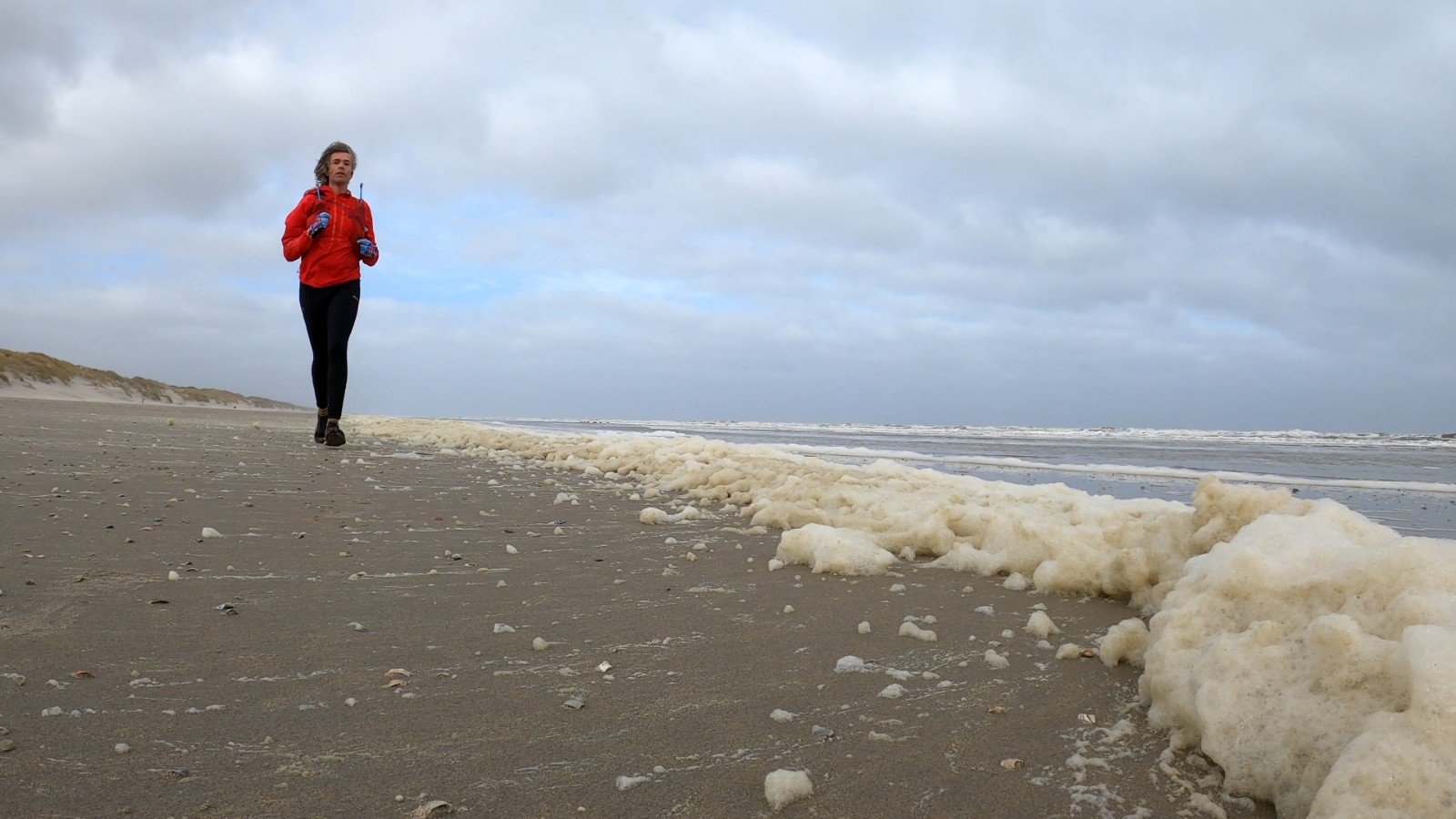
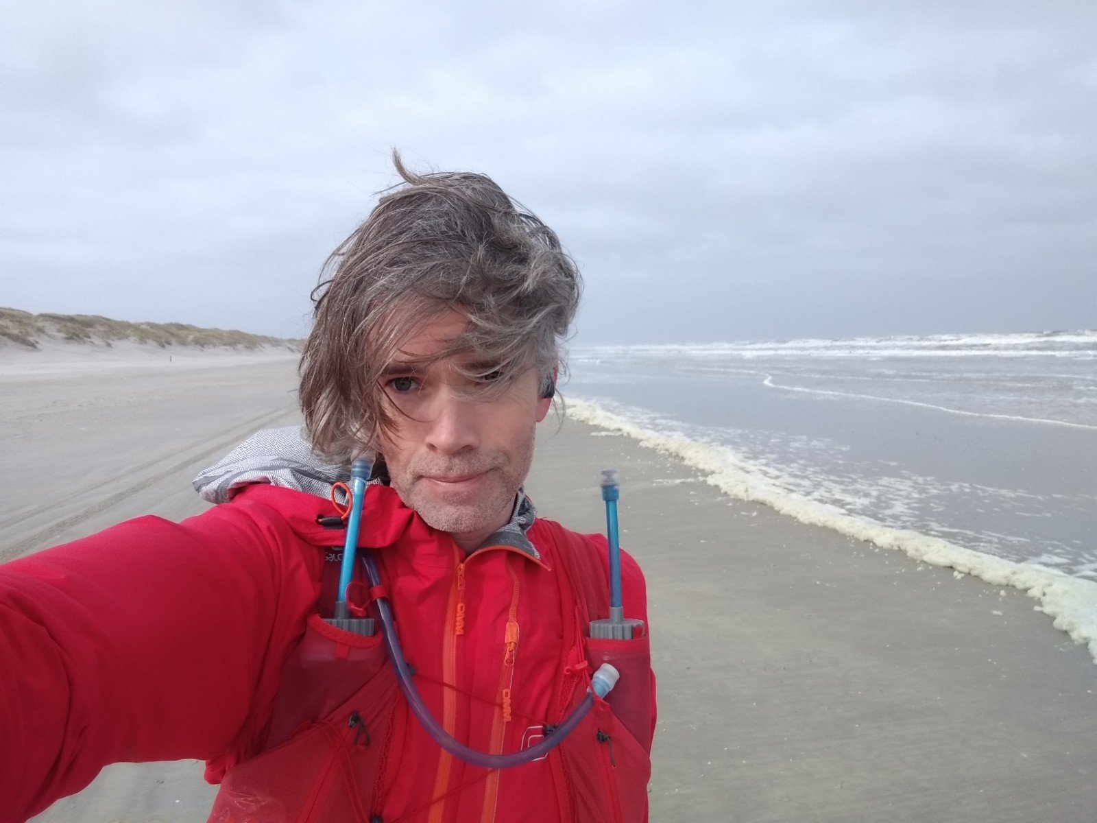
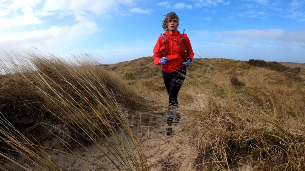
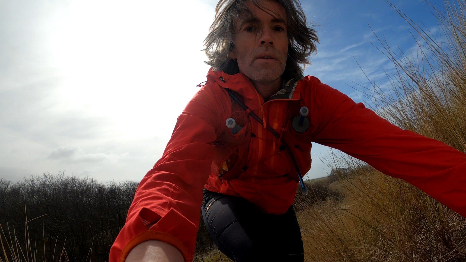
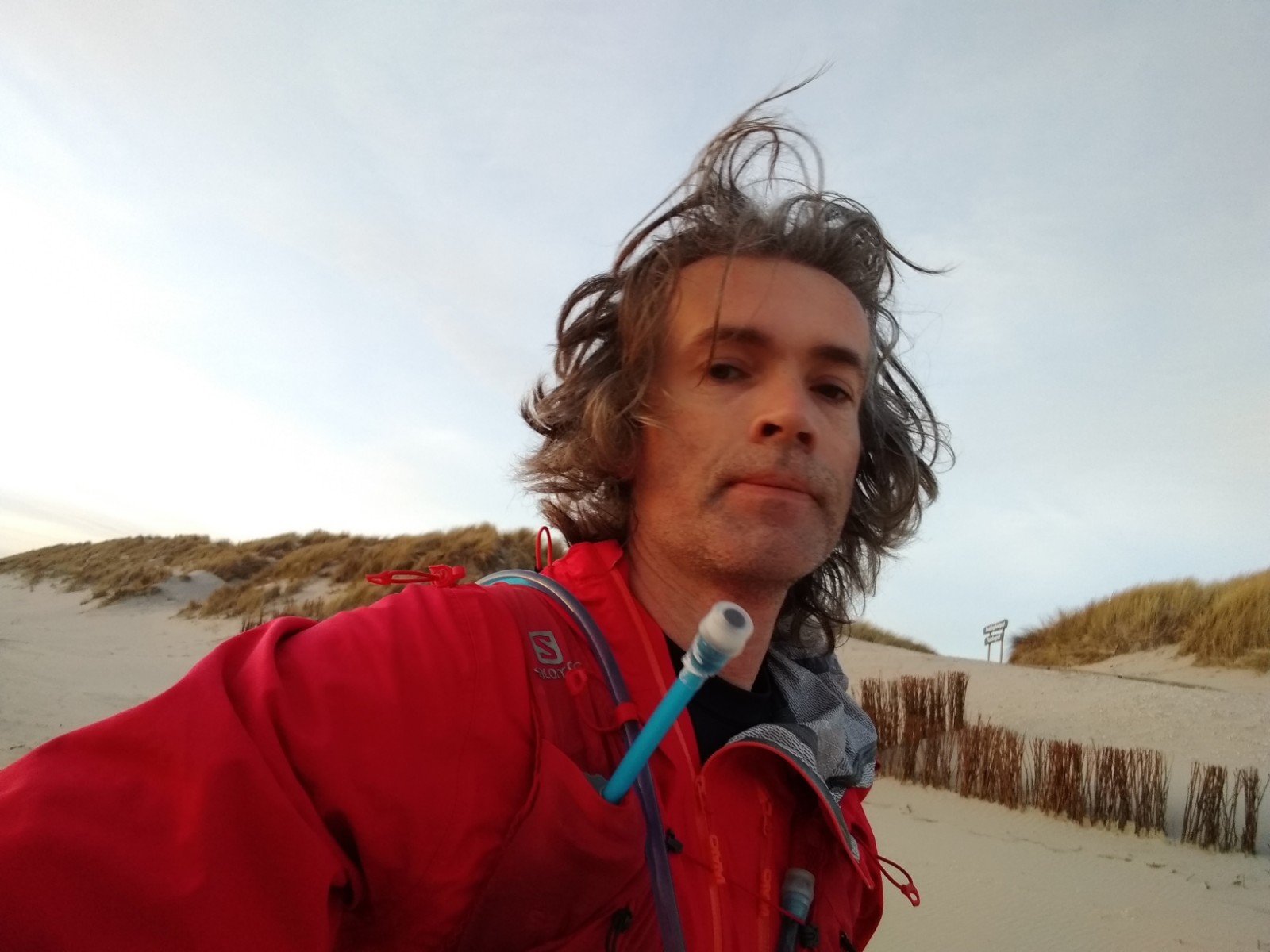
In the end the weather turned out to be quite good. Around 6 °C (43 °F) maximum temperature on the island, no rain, but a strong wind (force 4) and cloudy. On an island, however, it always remains an estimation. Because wind easily leads to cooling at low running speeds, I decided to focus on the wind: tights with windshield, a thermo shirt as base layer and as only layer on top my trusty Omm Kamleika jacket. It keeps out the wind quite well. I stowed an extra merino layer in my racevest just in case I had to make longer stops, but I didn't expect to use it. For sandy winds I took some sunglasses. As shoes the Altra Superior. For the beach I prefer not too much profile and in terms of terrain I did not expect any extremes.
Despite all the good preparations, including getting up in time to let the coffee do its laxative work, I could turn back after about 700 meters. In my mind I was thinking about the course and the possible escape routes. I remembered the taxi driver who brought me to the apartment the day before and who said they could even pick me up from the beach with a jeep if necessary. But then you have to be able to call them… and the phone, I remembered, was still on the kitchen table. That was my punishment for running without music today. The first 1.5 additional kilometers were in.
20 miles under the sea
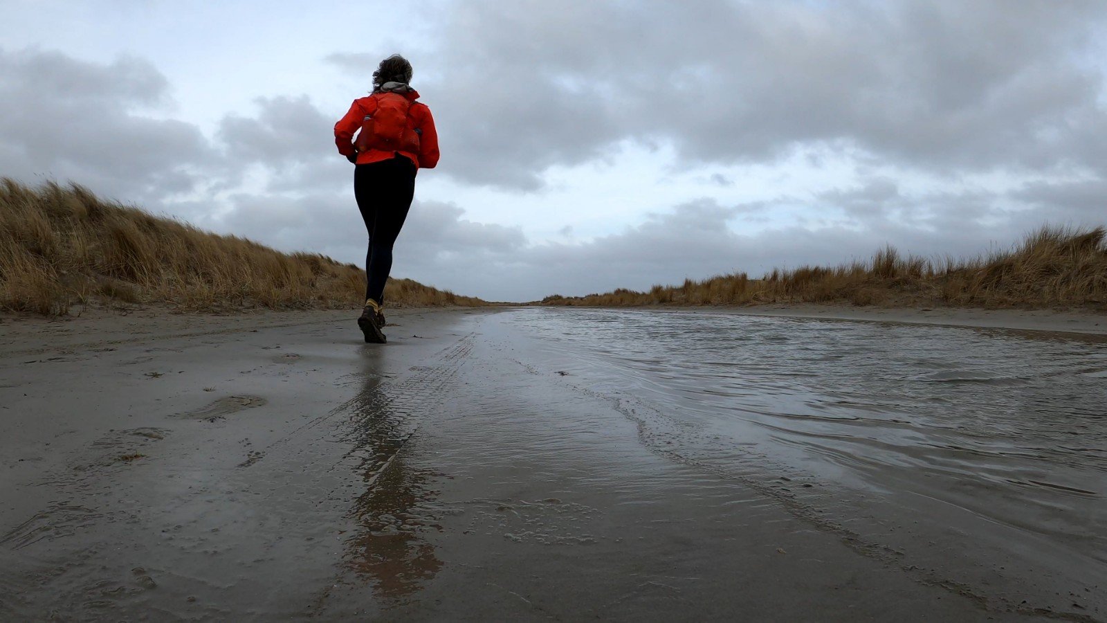
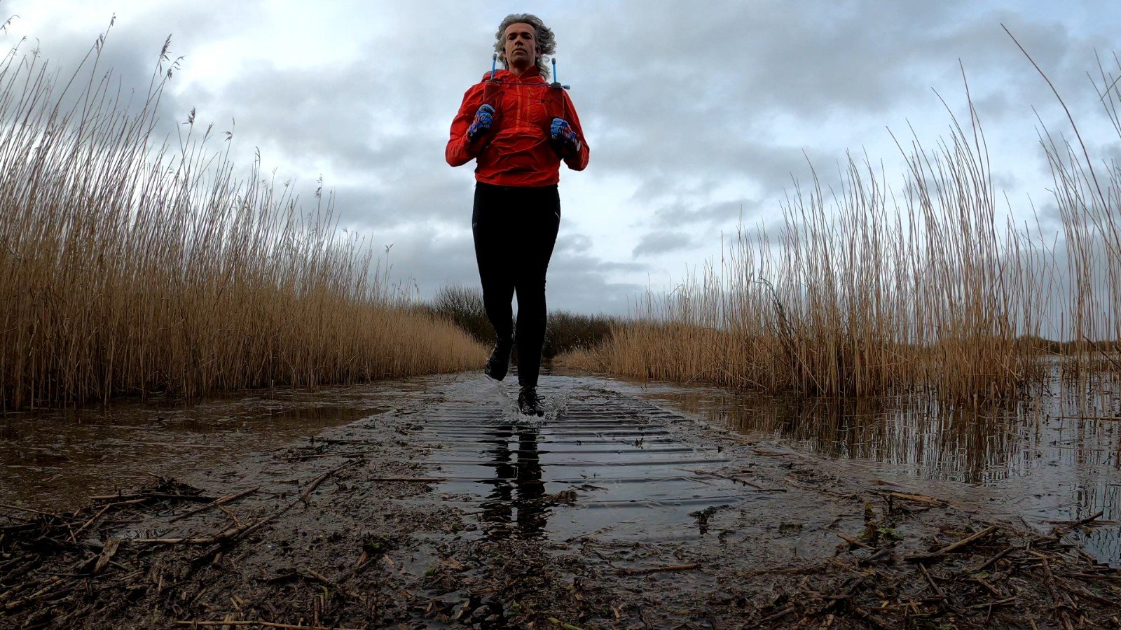
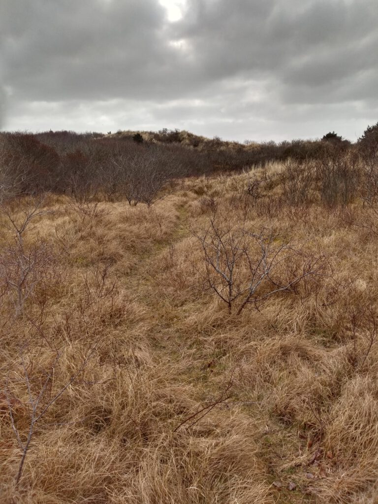
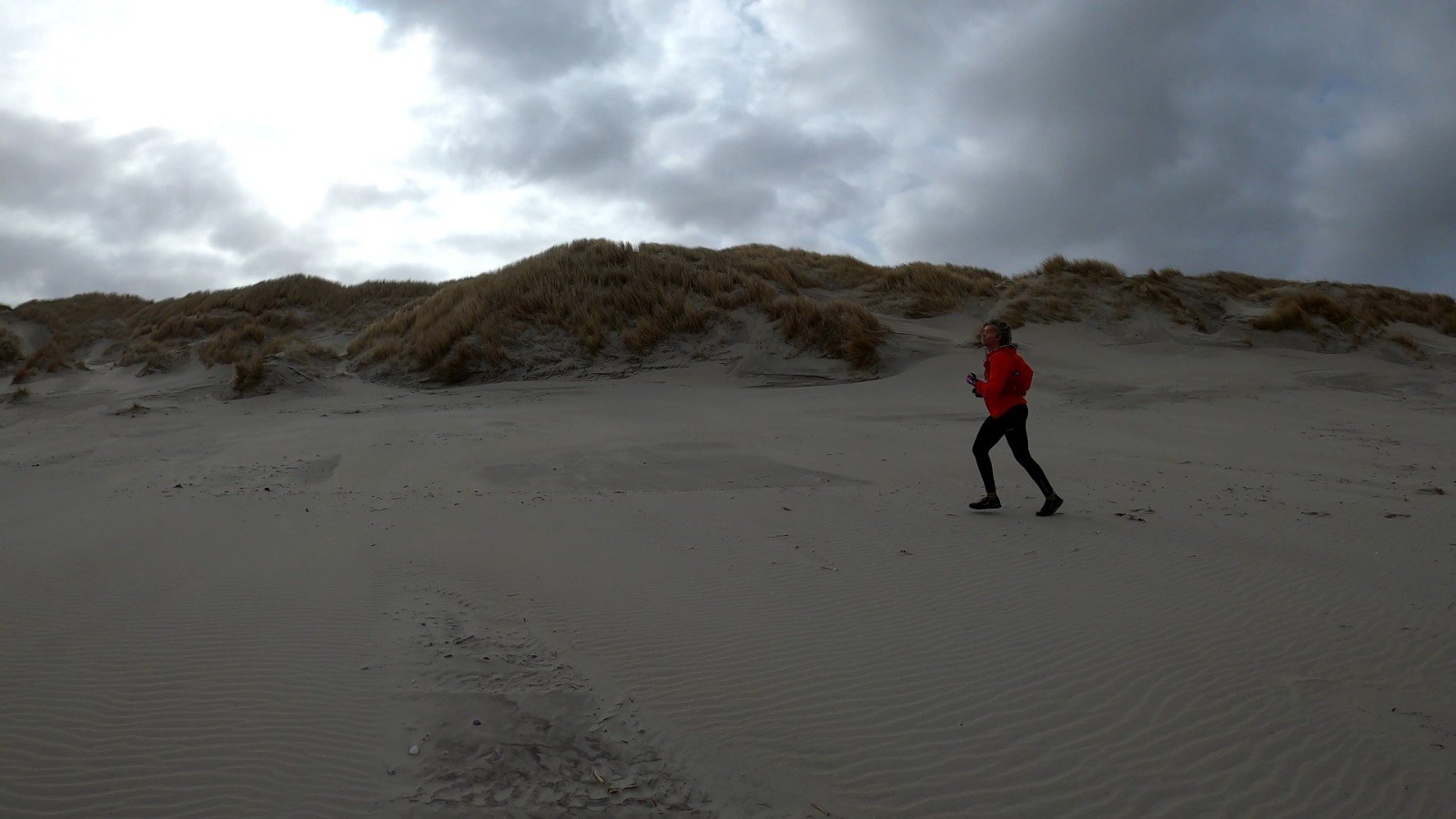
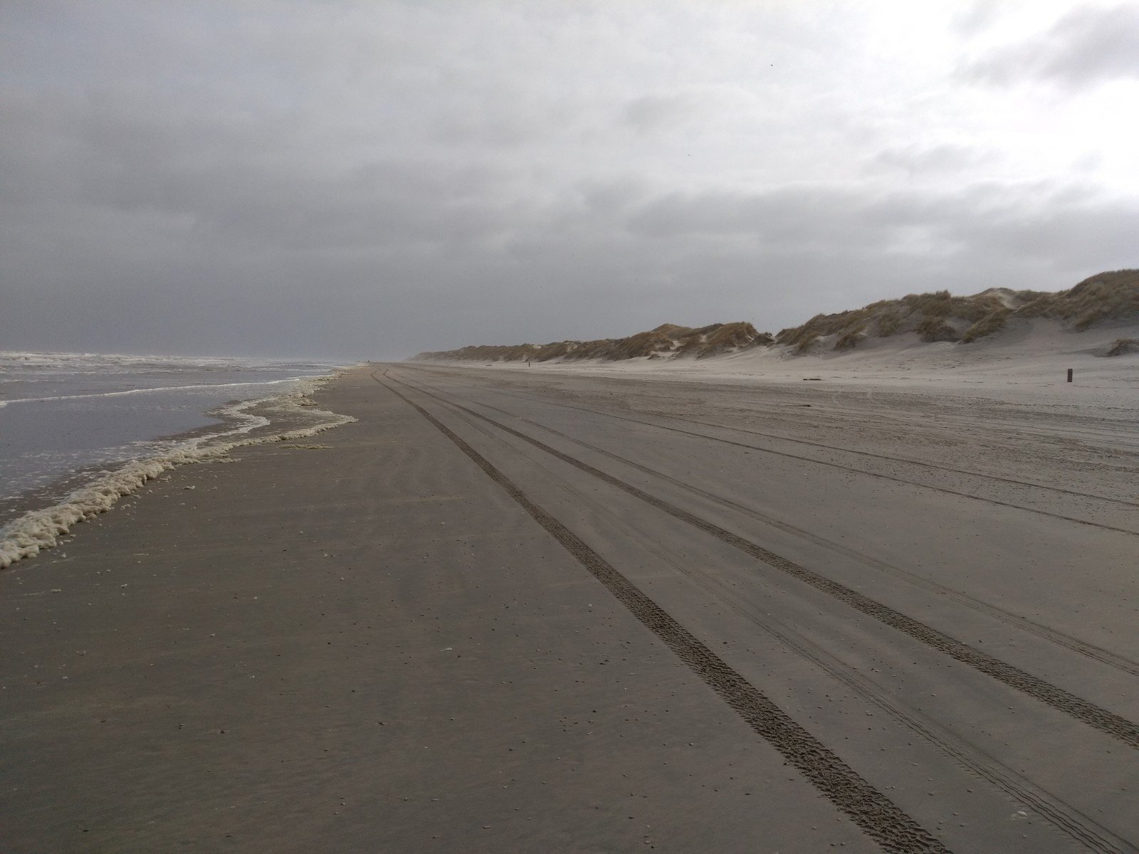
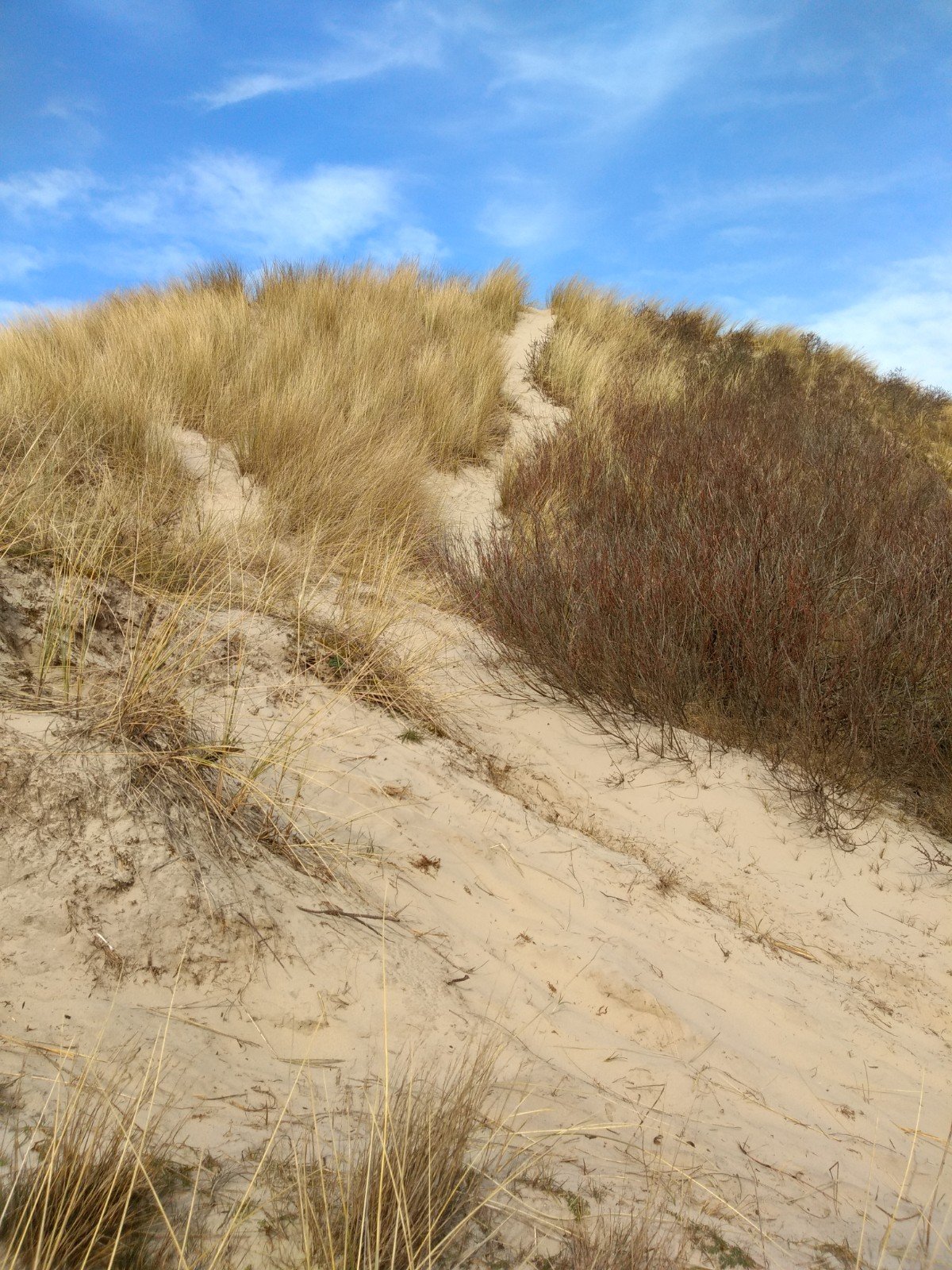
The route started out quite easy. One kilometer through the village, then a small forest and onto the beach, one of my favorite places to let the little diesel engine run continuously and to clear my head in the fresh air. Almost nobody agrees with me, but in my opinion nothing runs as smoothly as the beach. However, it does require its own technique, which is very similar to chirunning: light-footed, straight landing, high cadence. Trying not to leave a footprint is the trick. If it's a bit wet and firm, you have a nice underground with just a bit of spring and little can go wrong. If it's soft, it's more difficult: land a little crooked and you dig yourself in with your shoes.
Often the best place to run is around the tide line. In this case, however, I decided to stay close to the dunes, matching the route. The beach was very wide and I didn't want to accidentally miss a beach entrance. That meant there was a lot more soft sand and the pace lagged behind a bit.

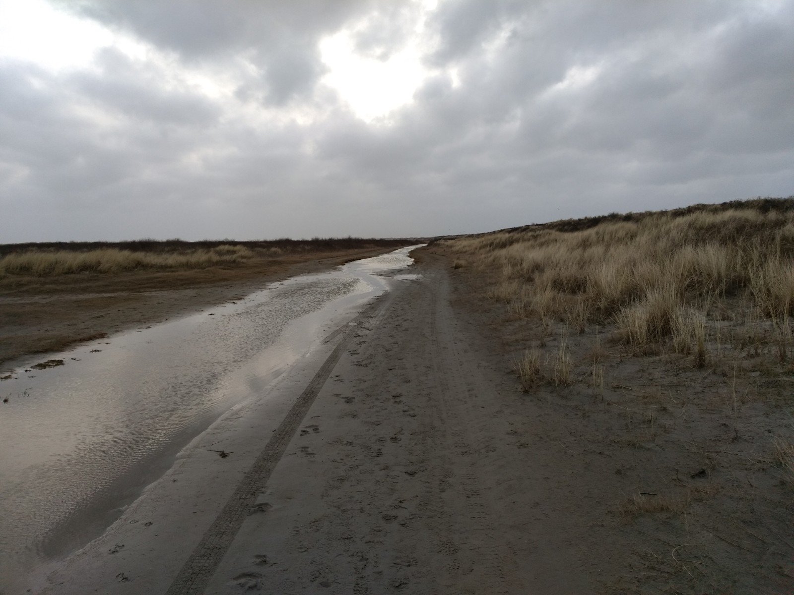
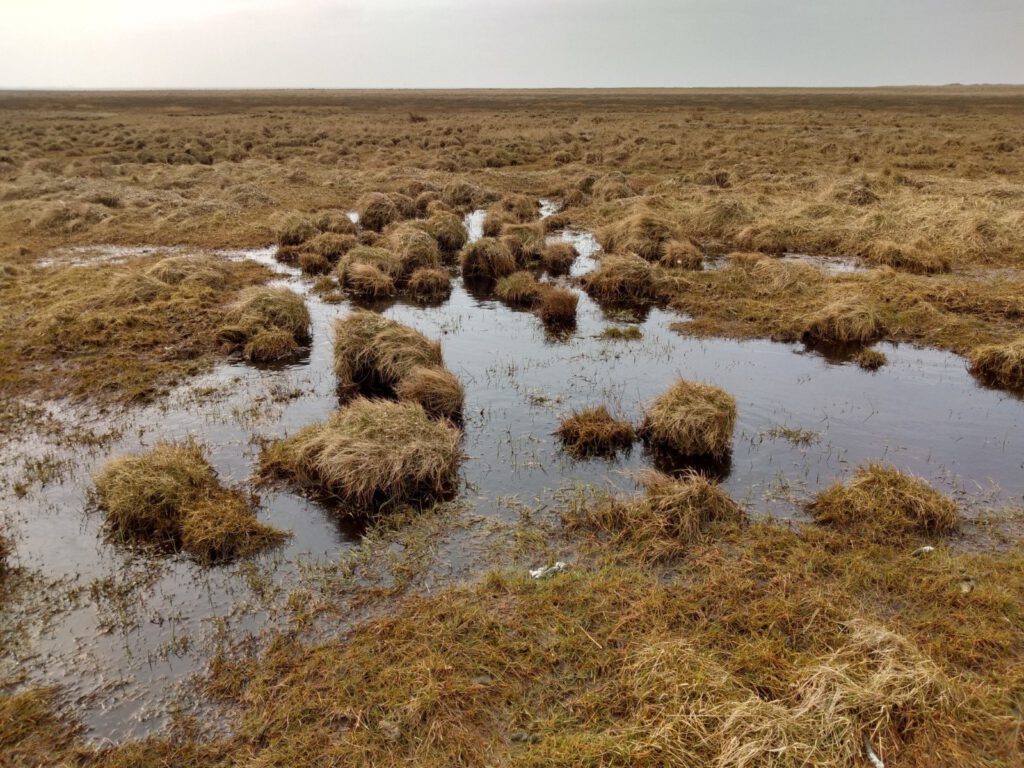
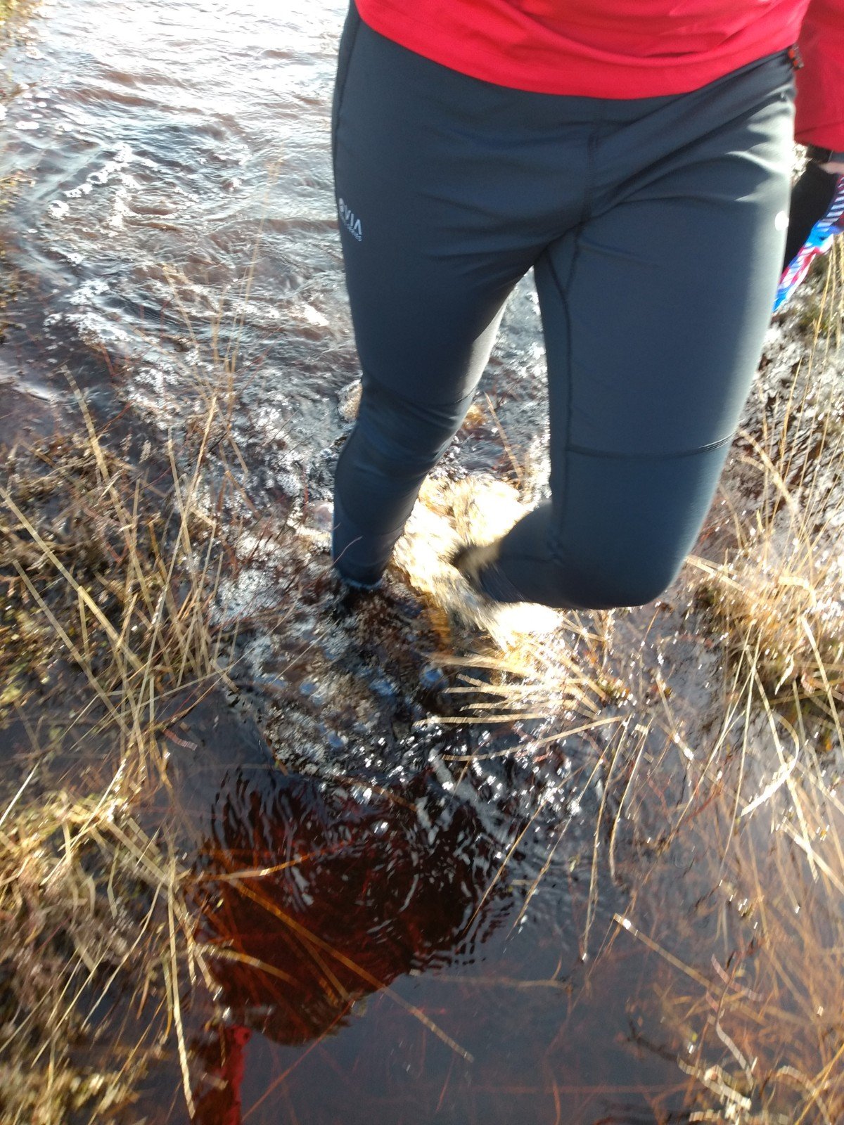
After the beach, a nice stretch followed along a rippling path. Indeed, even on the sandy ground behind the dunes there was quite a lot of water. It had turned the road into a small stream with a path of half a meter next to it. A bit more water and it would have been cold feet again.
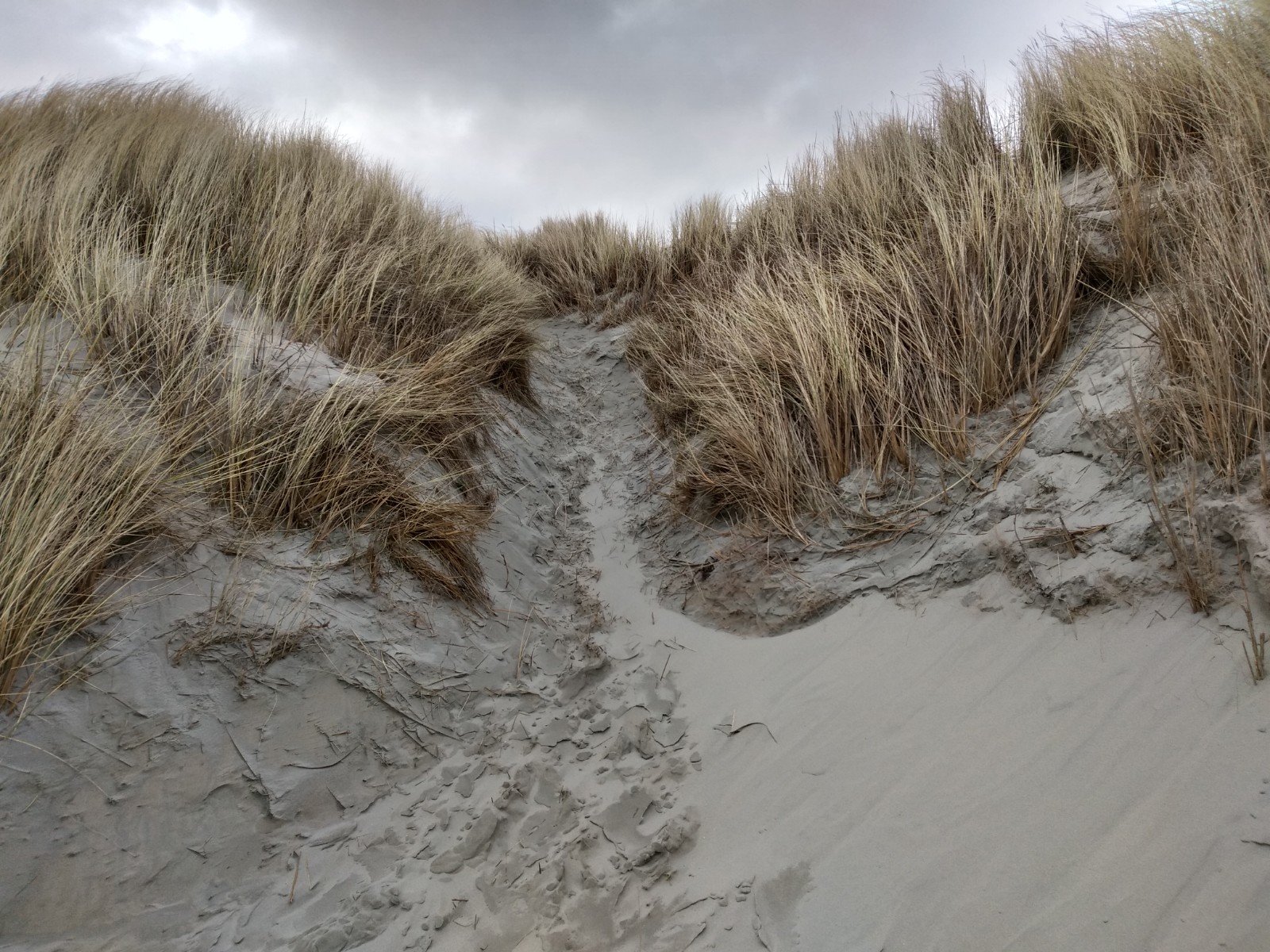
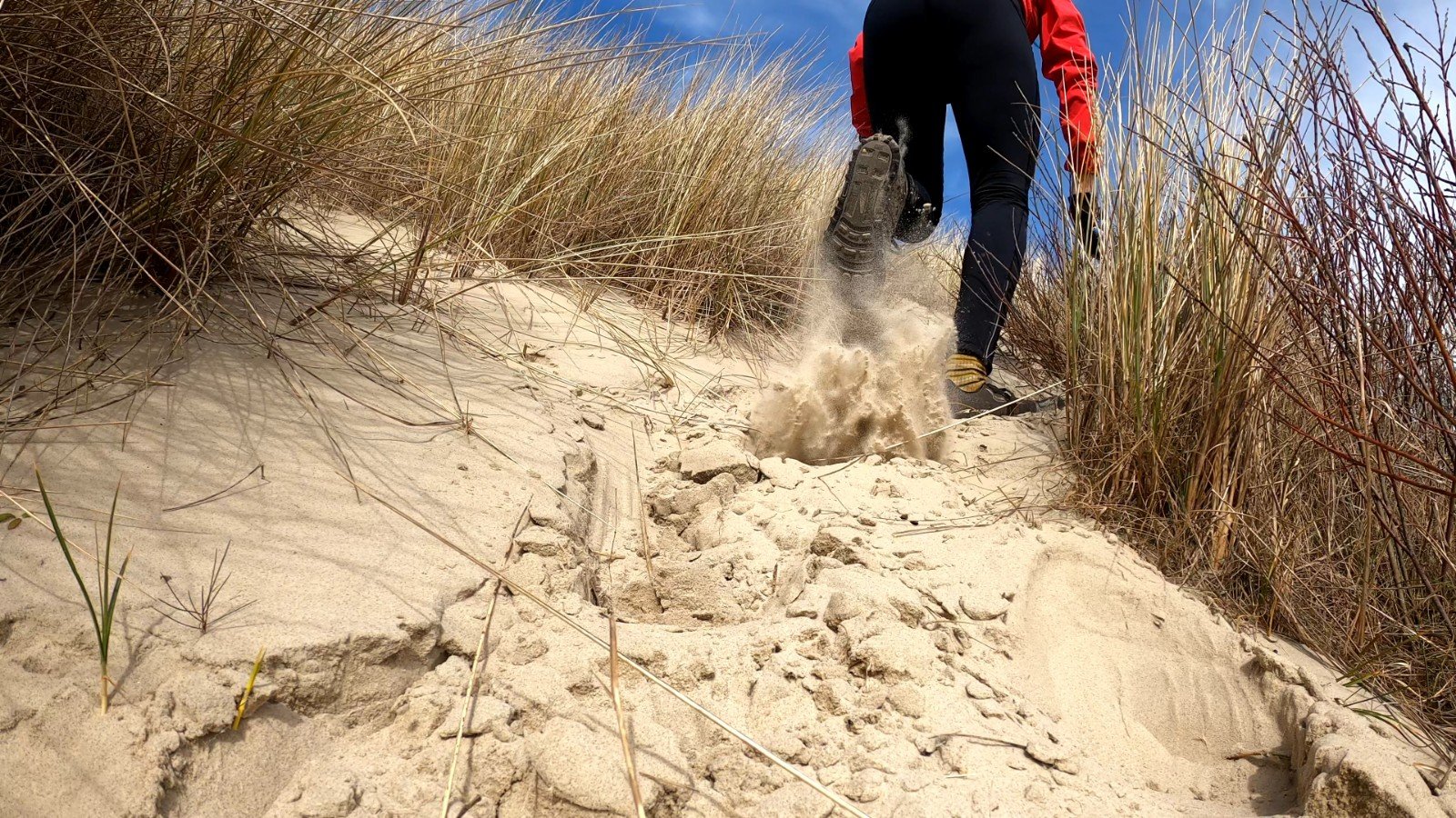
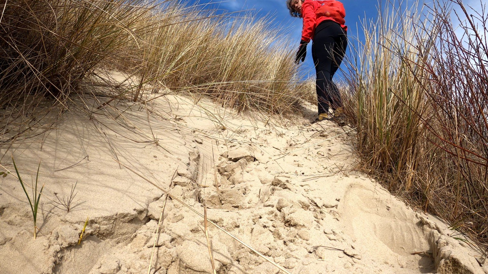
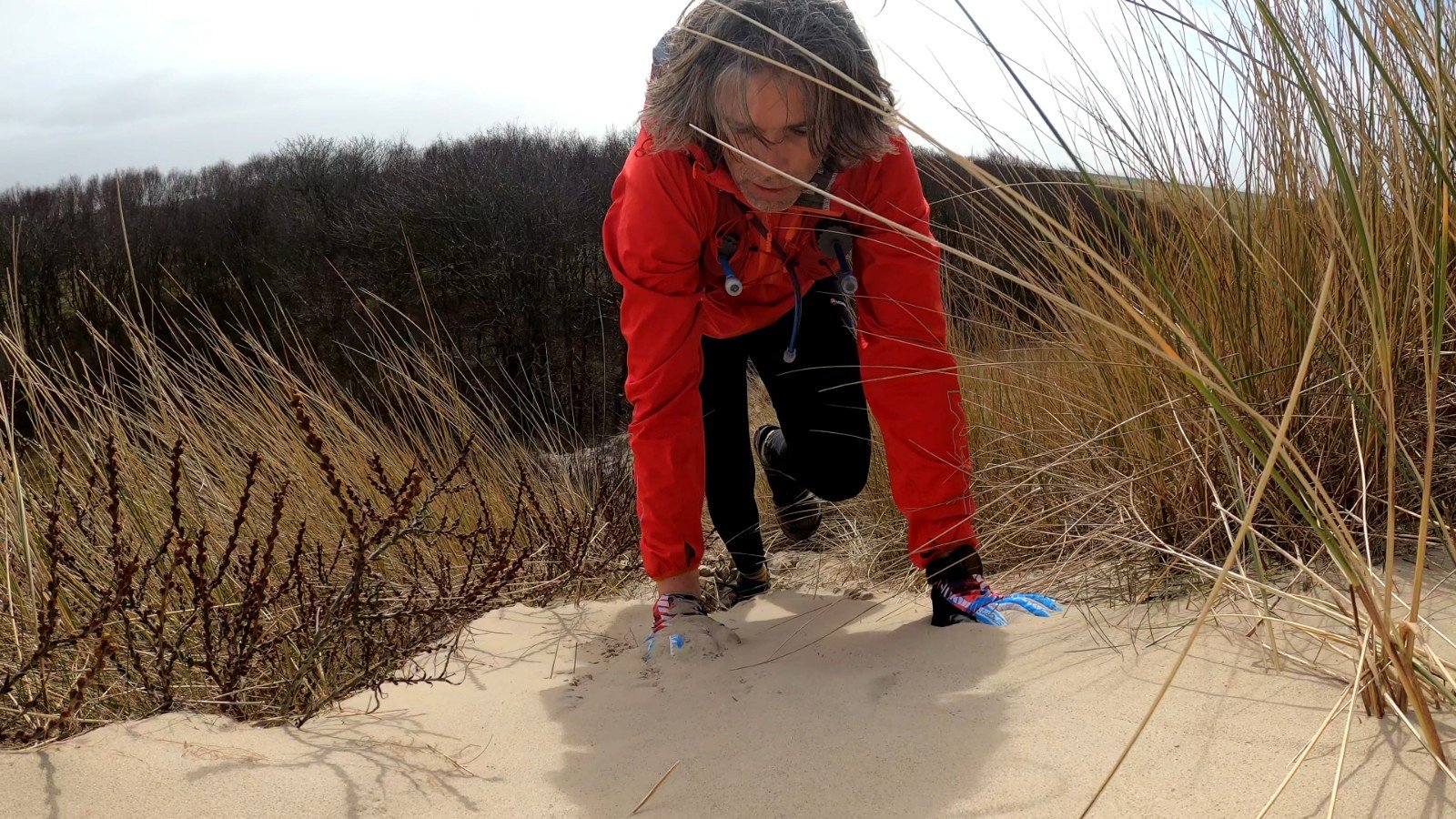
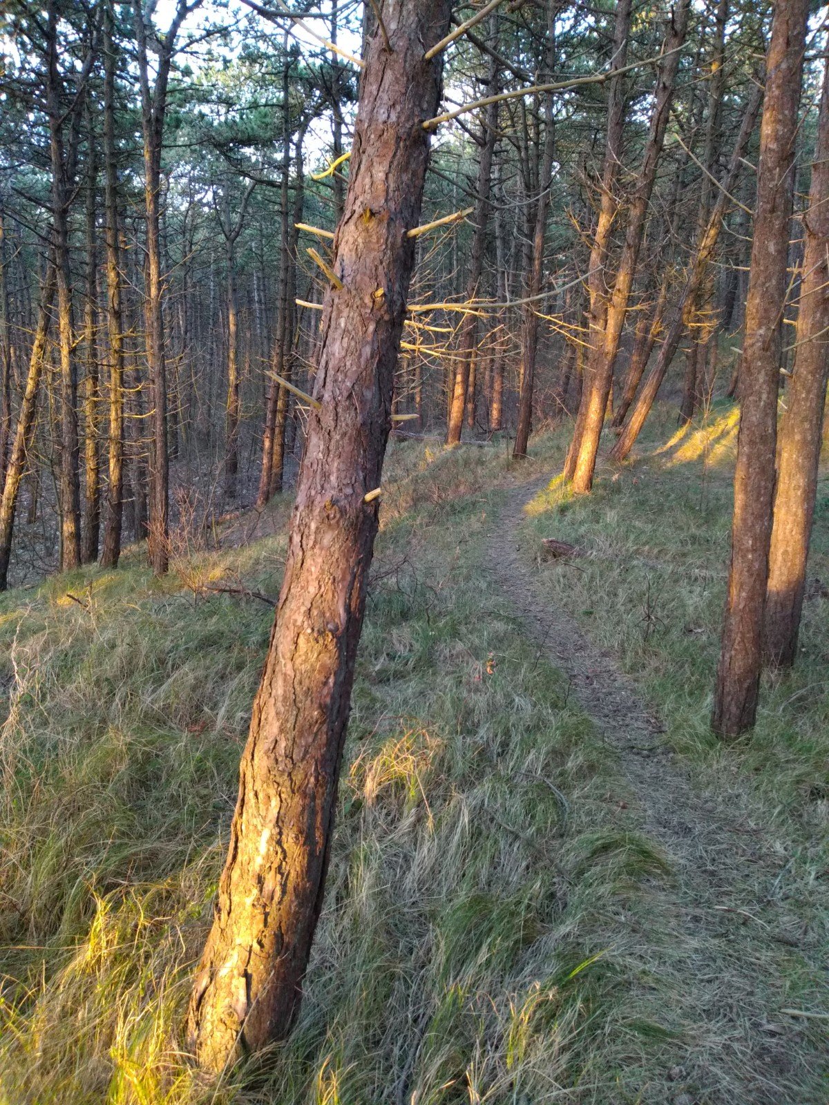
About six kilometers after the start the real work started and I could run through the dunes. It went well immediately with a path that was completely flooded. This is where I started doubting my shoe choice. Although the Superior is very good on the beach (no big profile so a lot of surface to land on), in the mud they are really disastrous. The next turn brought a large pond. With a wooden walkway. But where were those vlonders… look closely at the photo, I'm running right on top.
Hallucinations
Fortunately for me, the path soon changed to a long grassy track. Here the Superior as a light trail shoe was really in its element again. Also afterwards I didn't regret my choice at all. After all, you choose the shoes for the majority of the route, or in the case of technical trails, for the toughest part. In this case, the mud was easy to handle because it only involved very short stretches of tens to hundreds of meters.
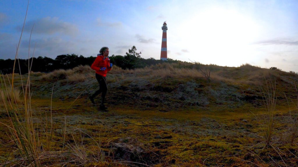
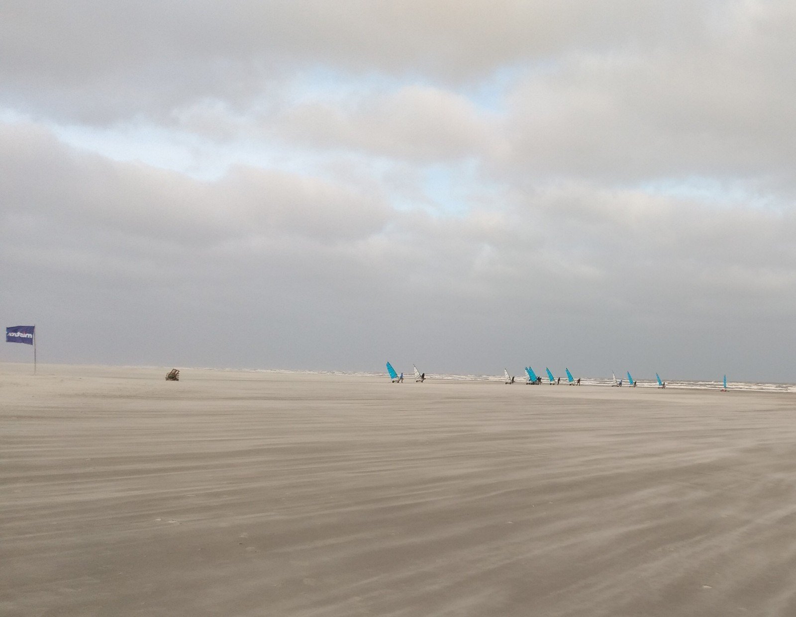
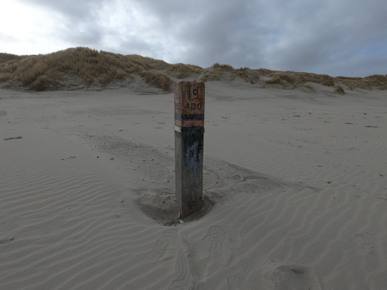
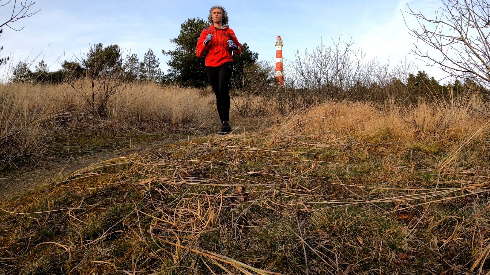
The grassland was followed by another stretch of beach and dune edge. My long hair awkwardly fluttered in front of my eyes. It was almost as if I was hallucinating after 10-14 kilometers; through the hair I saw moving people every now and then, and with a departure at sunrise (about 6.42 am) that was too early. For the most part they turned out to be beach poles. Because the hair is moving in all directions, your brain thinks that the stationary pole is moving too. The first half of my hike I only encountered about two people per hour on average, mostly hikers. The largest number of people I saw were from a beach sailing school.
Green, yellow and the shades in between
When crossing with the ferry I had the idea that it was quite busy on the island, but that crowd had almost completely disappeared into the landscape. There must have been far fewer people than usual, considering the empty campsite and the almost deserted hotels I passed.
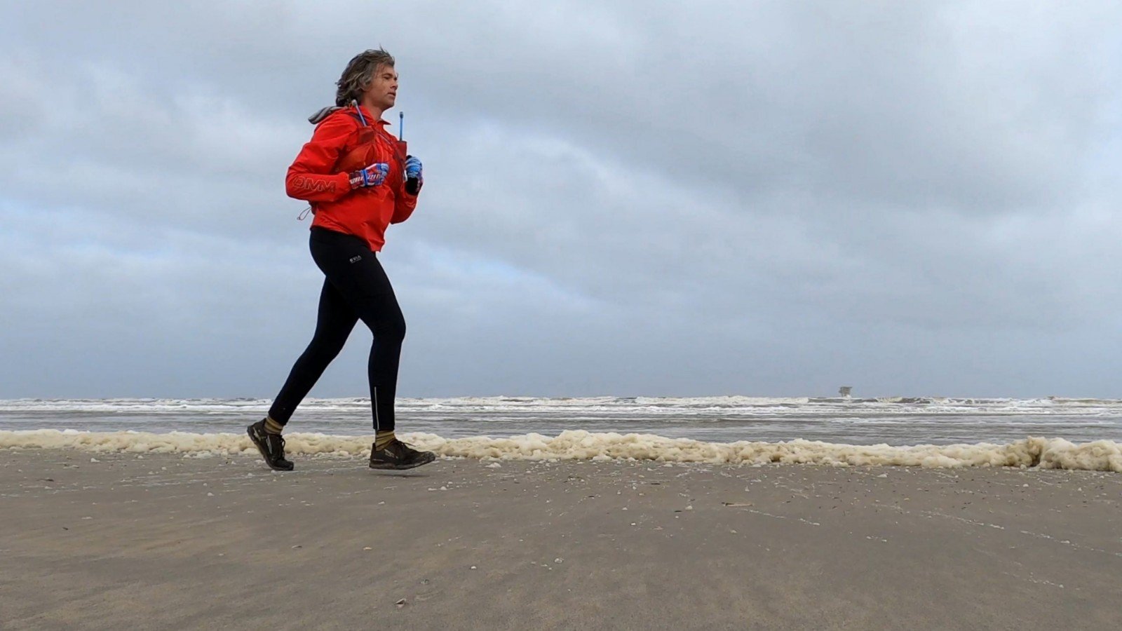
In the grass dunes on the grounds of the campsite – at least I suspected that these belonged to the campsite – I actually lost my way. Well, I was walking roughly in the right direction. But where was the road? It started as a very narrow track in the green-yellow dune grass. Recognizable by just a bit more moss and a small difference in color compared to the surroundings. Following the path, I turned out to go the wrong way halfway. After searching back and forth a few times, I seemed to have found a vague line that just deviated from its surroundings. But again and again it appeared that too few people had walked there to really create a path I could follow. Finally I decided to track a line that accidentally ended up in the road via someone's backyard. So I smuggled 100 m from the route. On that asphalt I immediately came across another runner with a racevest. One of the only two I encountered this Sunday.
Loops
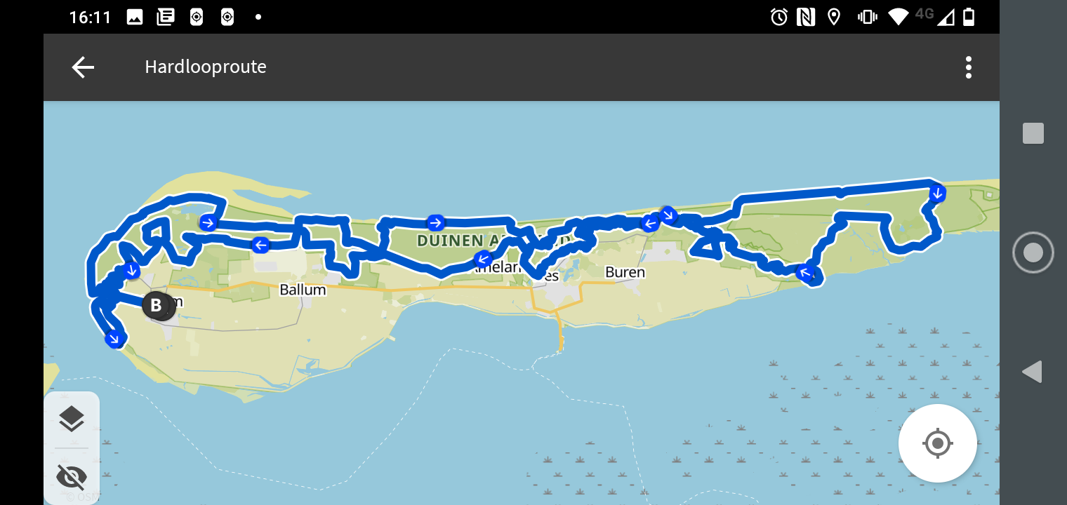
Beforehand I had studied the route well. A problem with trails in a narrow area like Ameland – in many places not more than 2 to 3 kilometers, half of which is pasture – is that you will cross your own path every now and then. This can sometimes cause confusion when following a gpx, especially if the Garmin doesn't give directions. It doesn't do that reliably in forests and other places where road names are rare. Fortunately I knew I always had to go left here. So on the way east I ran along the beach and on the way back I went through the dunes and inland.
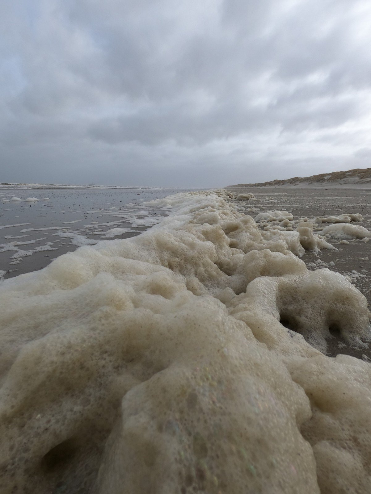
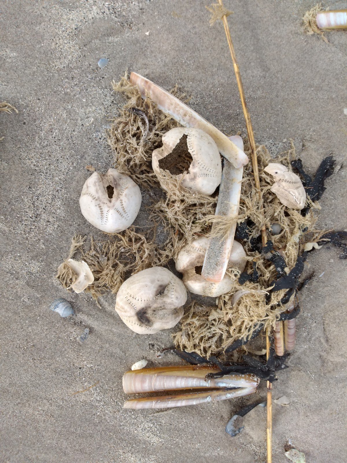
It was occasionally frustrating to see the line back on the map. Especially around the Burenblinkert there was a route where outward and return were only 100 meters apart. This way I could experience the much stronger sloping terrain of the way back. With a second last stretch of beach, I knew the easy parts would be gone soon. On this beach, near the eastern tip of the island, there were many large shells and skeletons of sea urchins. Hardly anyone came to pick them up here, although a few jeeps of locals passed by.
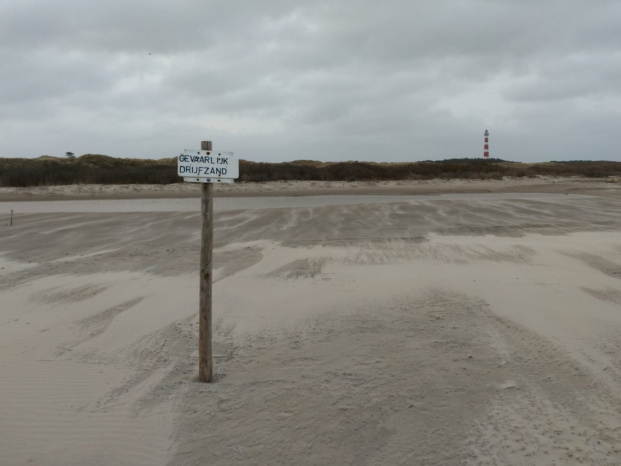
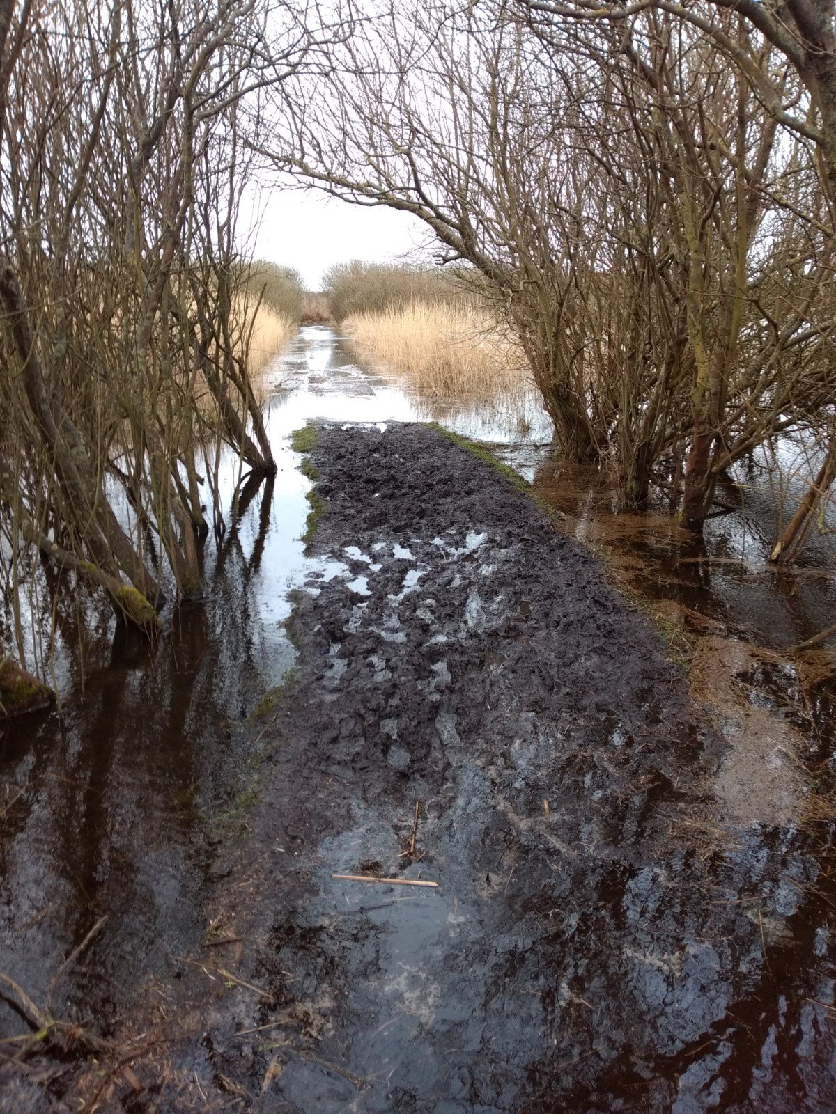
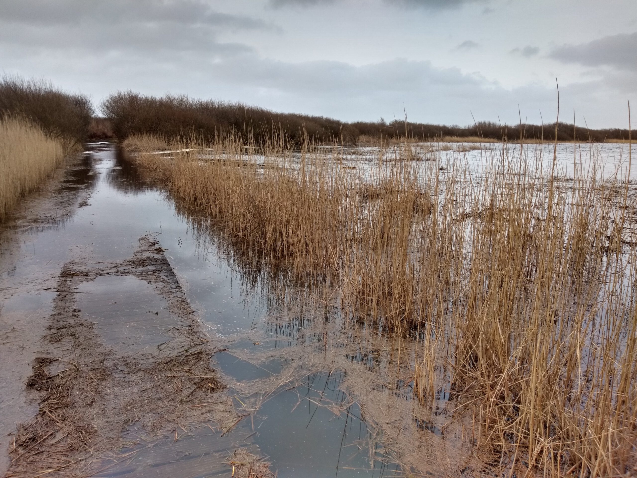
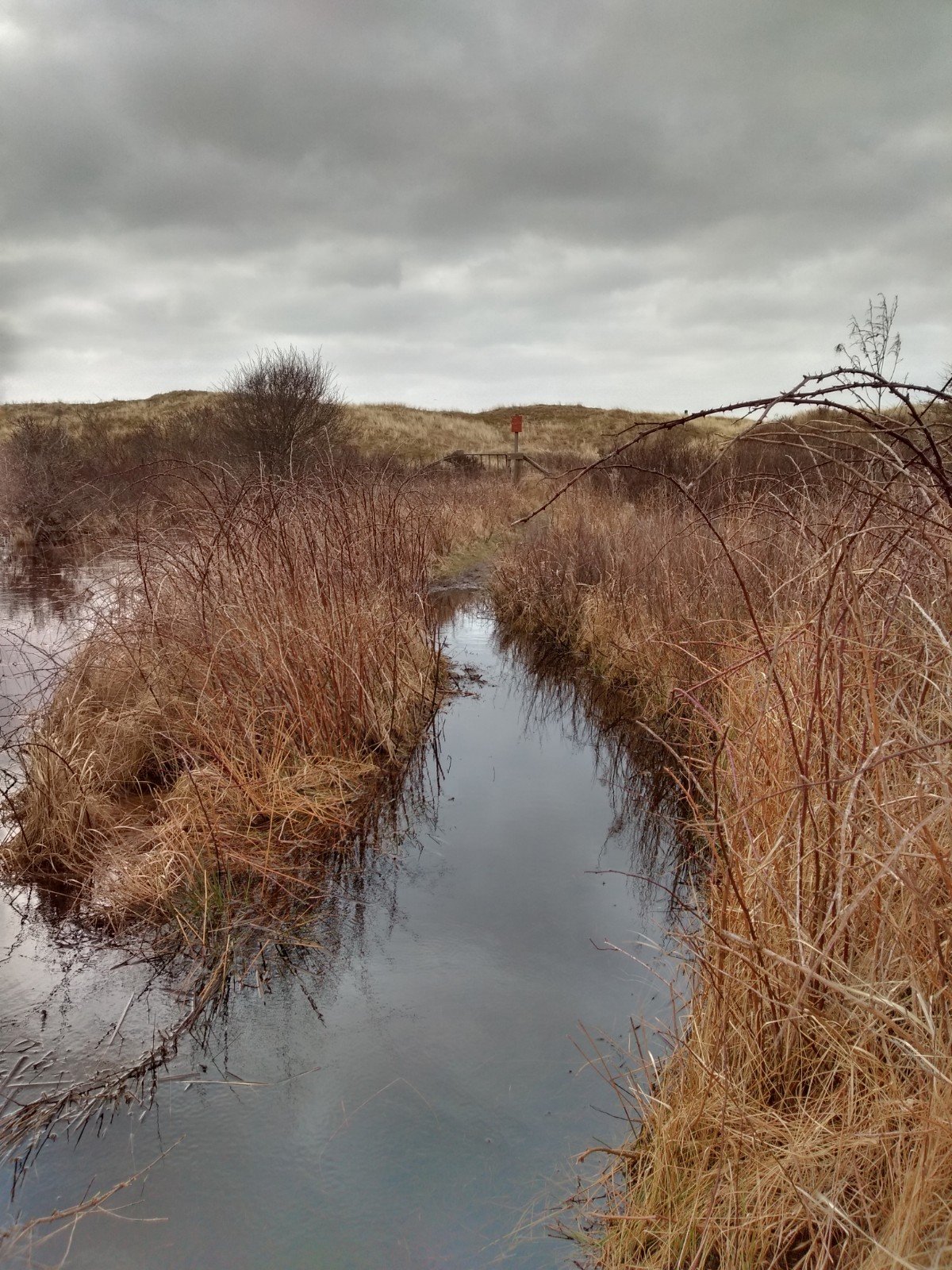
Kwelders full of clay
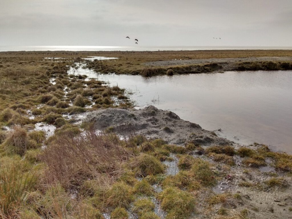
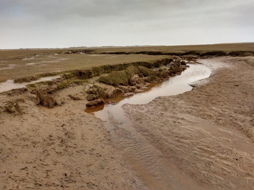
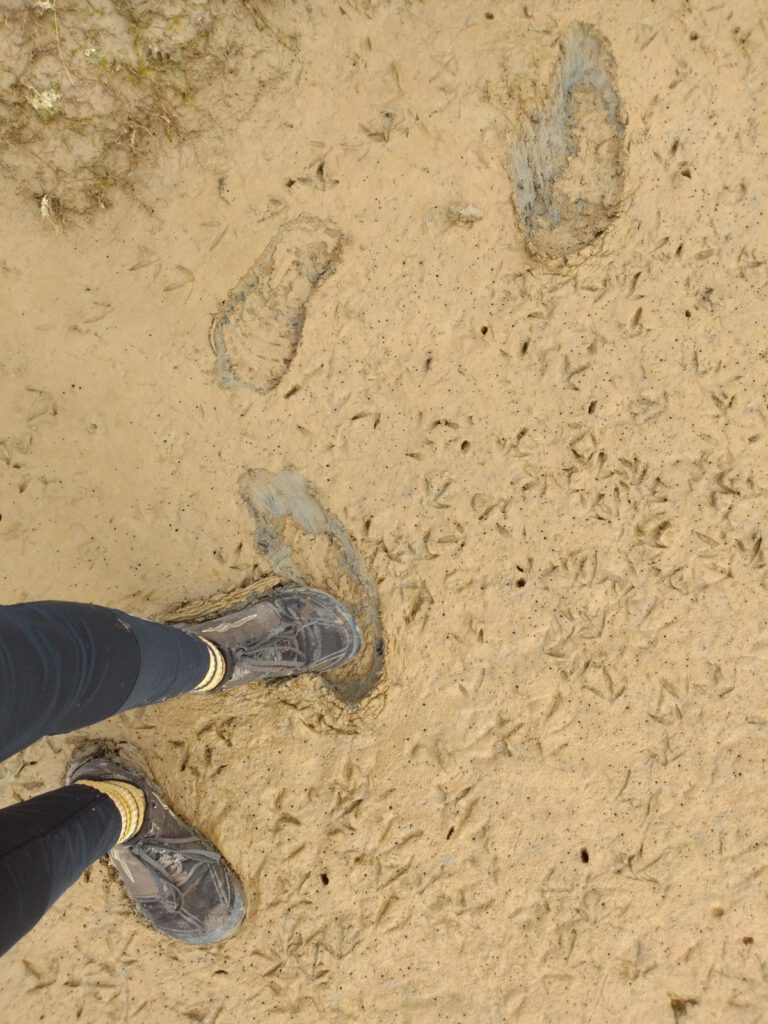
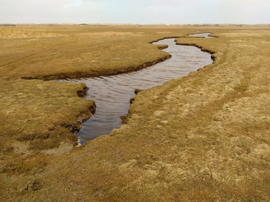
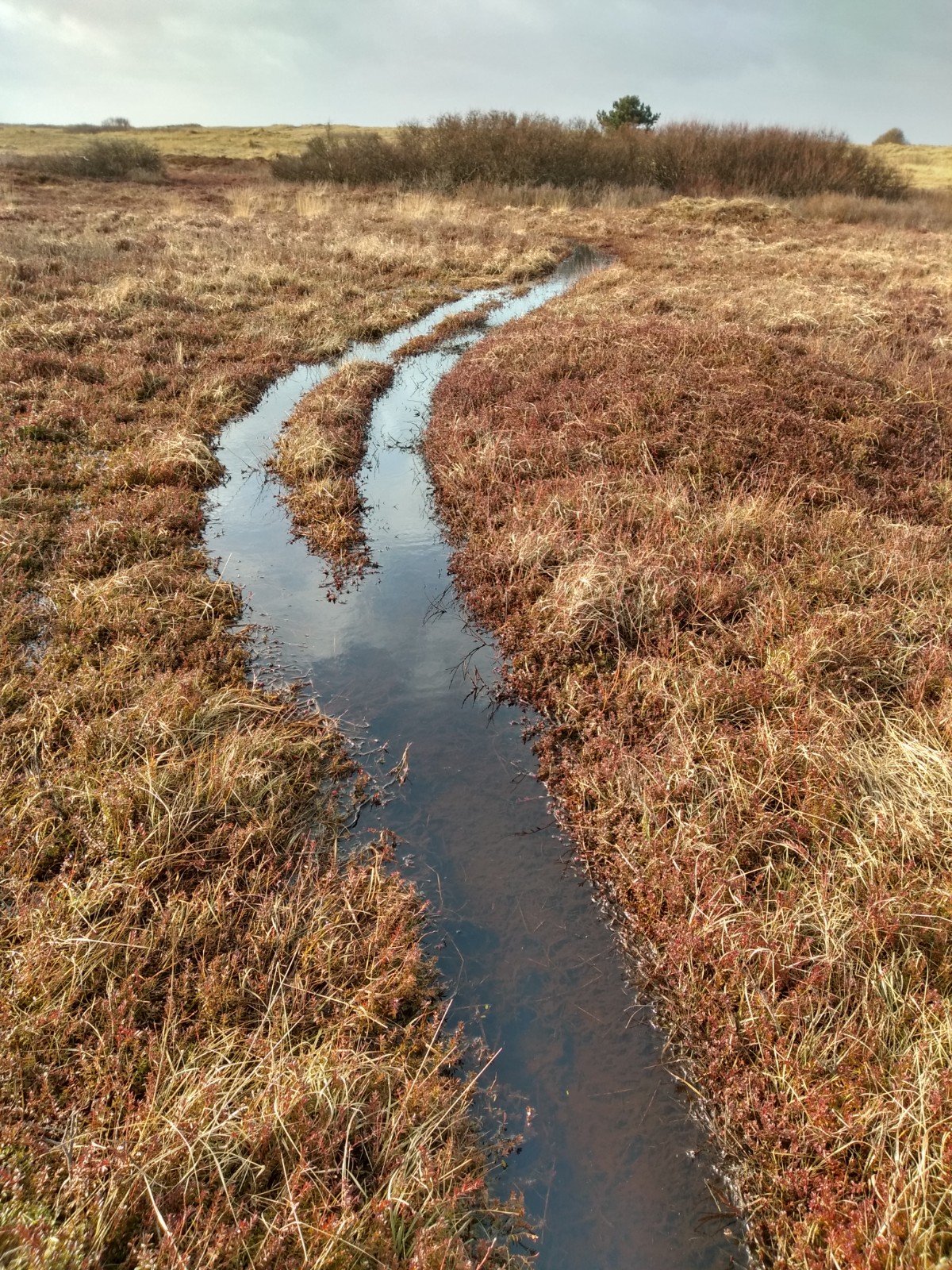
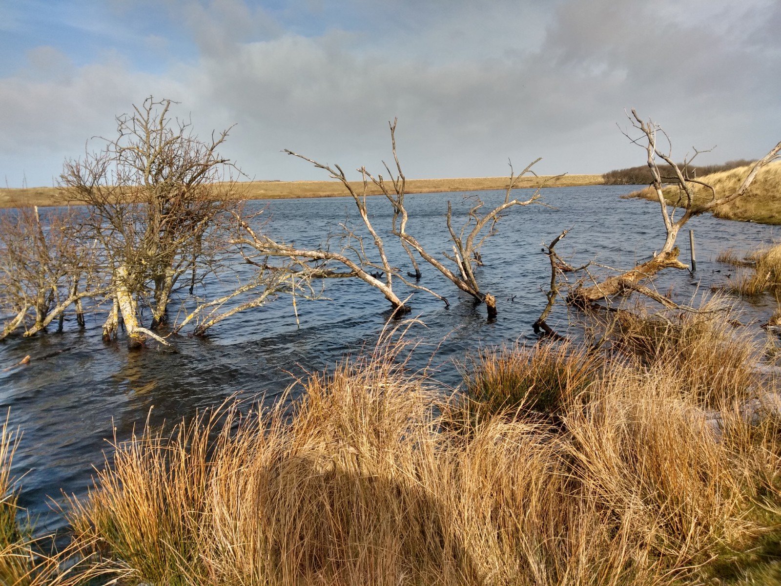
The crossing to the other side of the island brought me to a completely different environment. Here were no white sandy beaches, but very smooth clay with a thin layer of grass (again to the displeasure of the Superiors). This area was the part where I had to be the most careful with nature. Here are the salt marshes (kwelders) and marshlands, where some of the bird colonies nest.
Salt marshes are the areas outside the dikes that are created naturally by depositing sea mud. When the water is normal, this new land accretion is dry, but all kinds of small streams run through it and it is quite wet and slippery. At high tide it can become flooded, and the effects of that salty water give rise to some unusual vegetation. In practice on the Vennoot: I slipped away a few times on parts that didn't have a little grass on them. And on paths, that top layer of grass wears away quickly. But of course you have to respect the paths here. Not only for the animals, but otherwise that small open patch of land will soon be closed off as well.
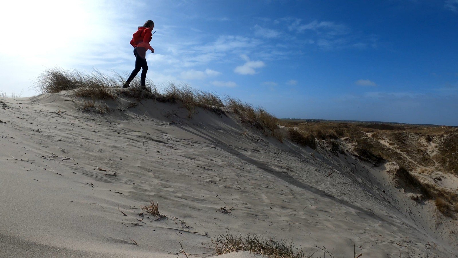
Dune tops
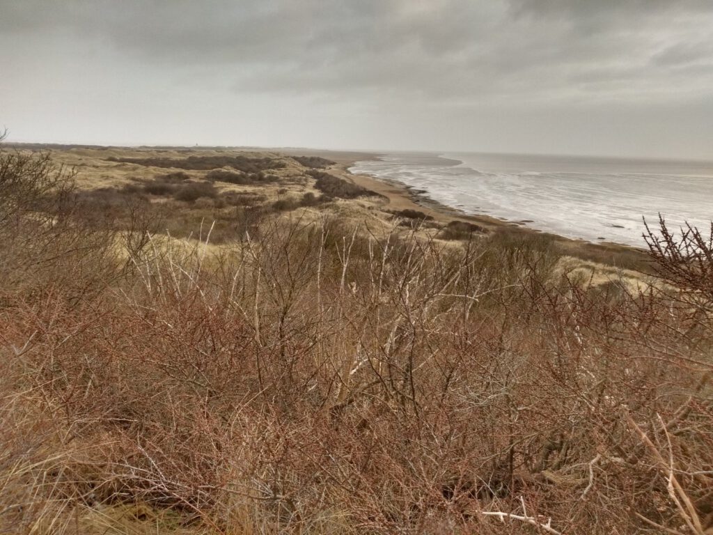
I thought the area after the salt marsh was perhaps the best part of the trail. It was really a matter of going up and down the dunes, with beautiful views of other dunes. What also helped: by now there was a – meagre – sun.
Unfortunately, this is also where the nutrition problems started. After a small marathon, I felt that my blood sugar was really too low. I stopped to change my water bottles and ate something. The Libre – warmed up by the sun again – proved me right. It didn't work at all on the whole route, so up to now I had been walking by feel. The fact that it became heavier was a sign for me to eat again. I should have changed the empty bottles earlier, but I didn't want to take off the vest on the clay soils.
Just a mile or two later, it was back to business as usual. And 2 kilometers later again. I even got a little nauseous and had some headaches from the low sugars. I felt like shit. But you have to keep going. So I walked a lot around the 40-50 km mark. Every time the sugars were better, the strength came back, only to disappear again. Actually, the whole way back it remained problematic. Probably I was just too late with a new dose of Ucan, which functions as a base layer for me.
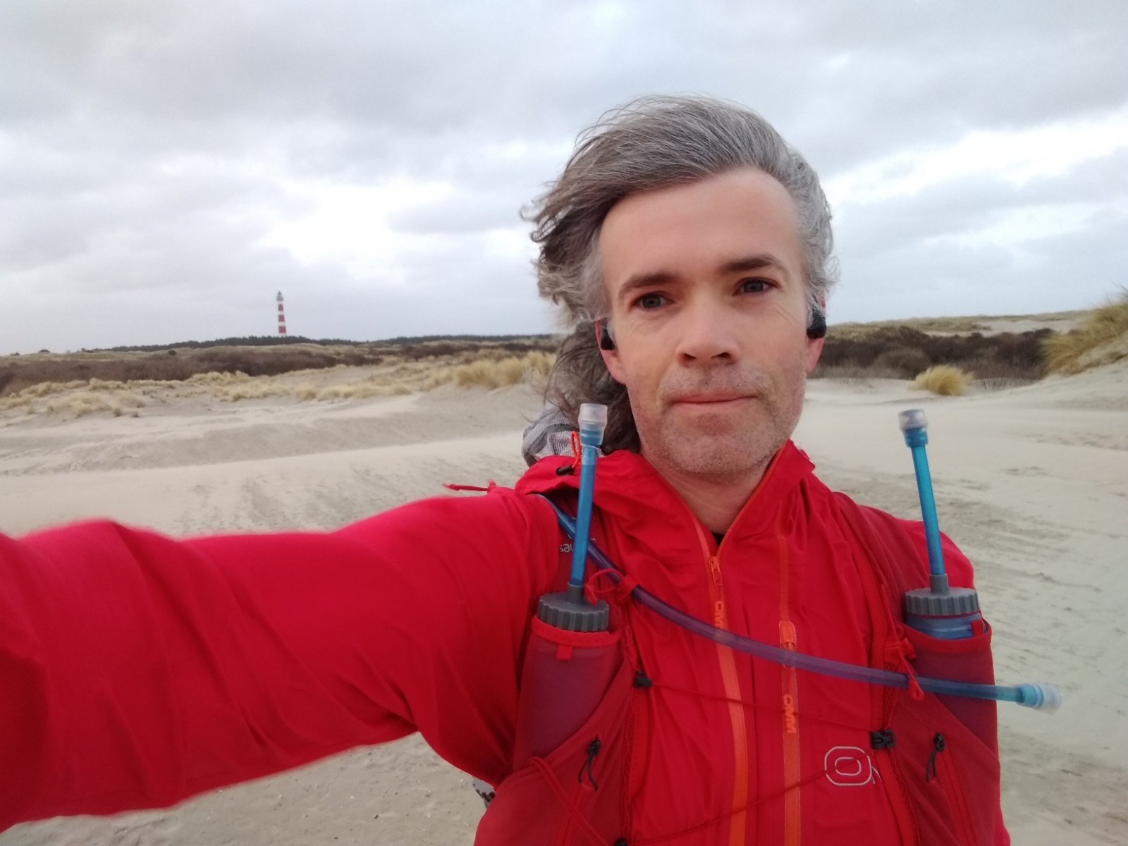
Light at the end
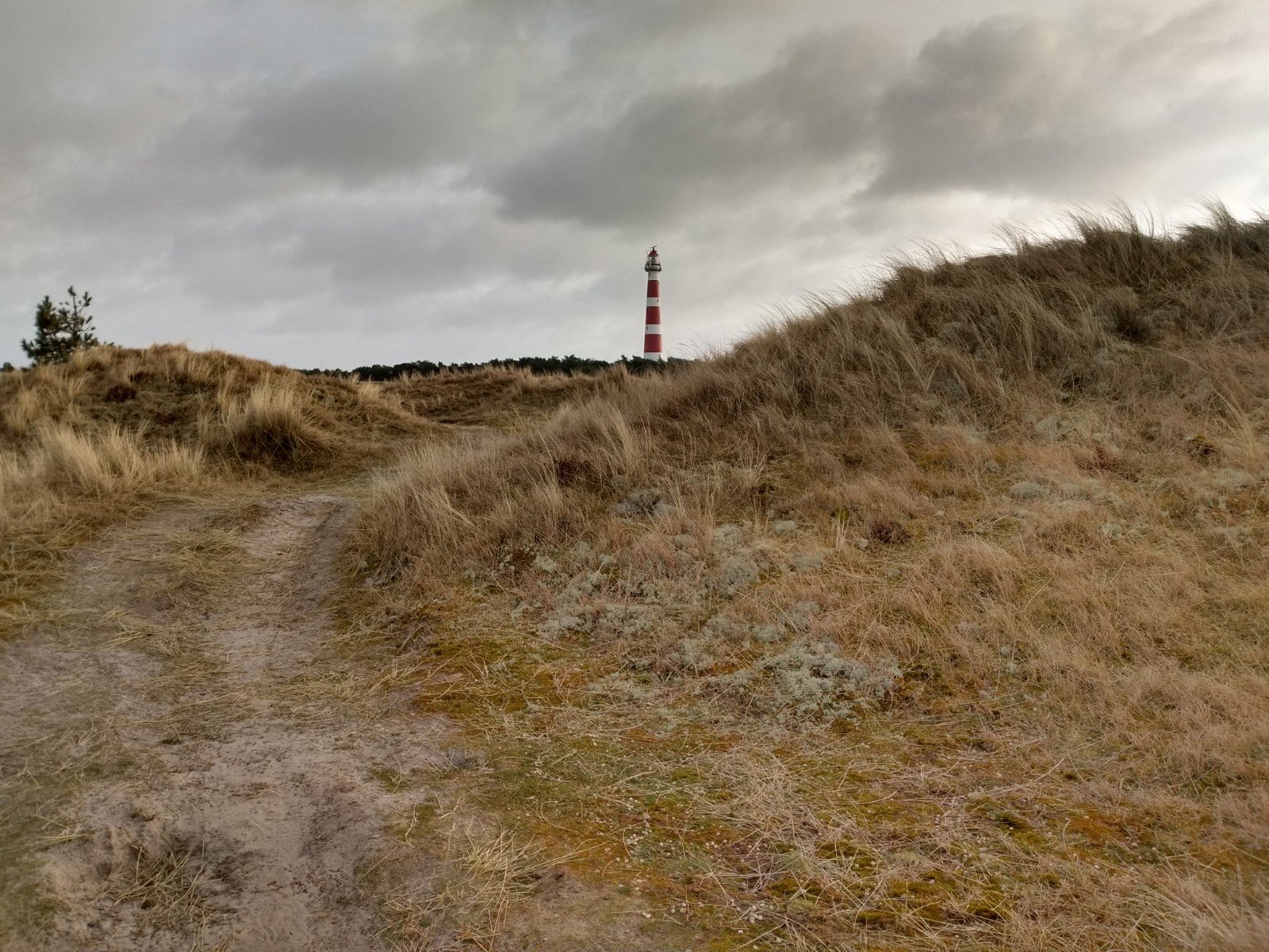
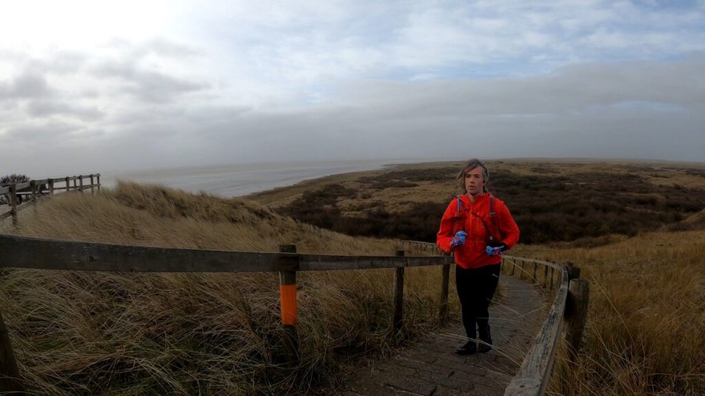
Slowly the second half of the race started to advance. I had already passed the double area at the Burenblinkert. I ran through watery paths again and saw the lighthouse in the distance. How could the finish be more than 15 km away?
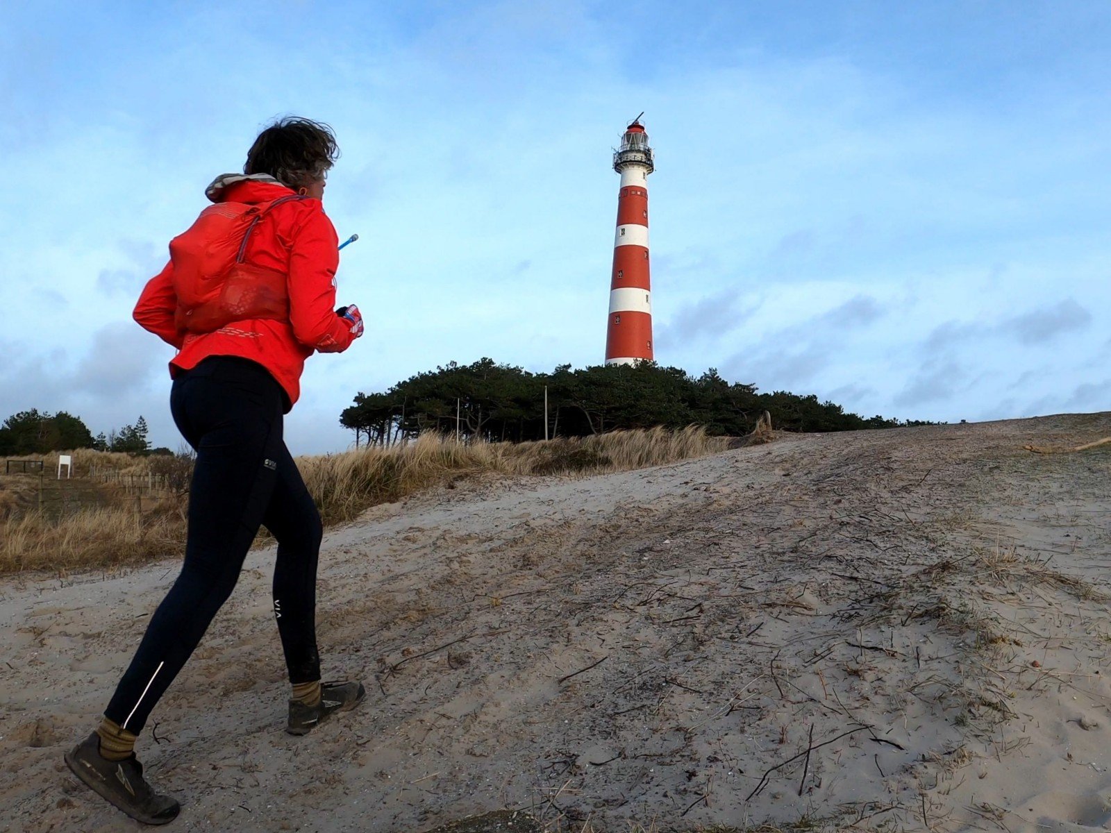
It soon became apparent. The trails wound around themselves more and more. Through bushes, past fenced-off areas and fens. That tower remained standing at a distance that hardly seemed to change. The beacon of hope slowly became a beacon of disbelief. Until suddenly I stood almost eye to eye with the red and white stripes.
It was not easy to get myself and the tower in a picture at the same time because of the wide angle lens of the GoPro. So I secretly added a couple of winding paths myself, because I thought the chances were better there. But actually I was a bit out of energy and I toyed with the idea of running straight back to the apartment: 2 instead of the remaining 6 km.
Last mile
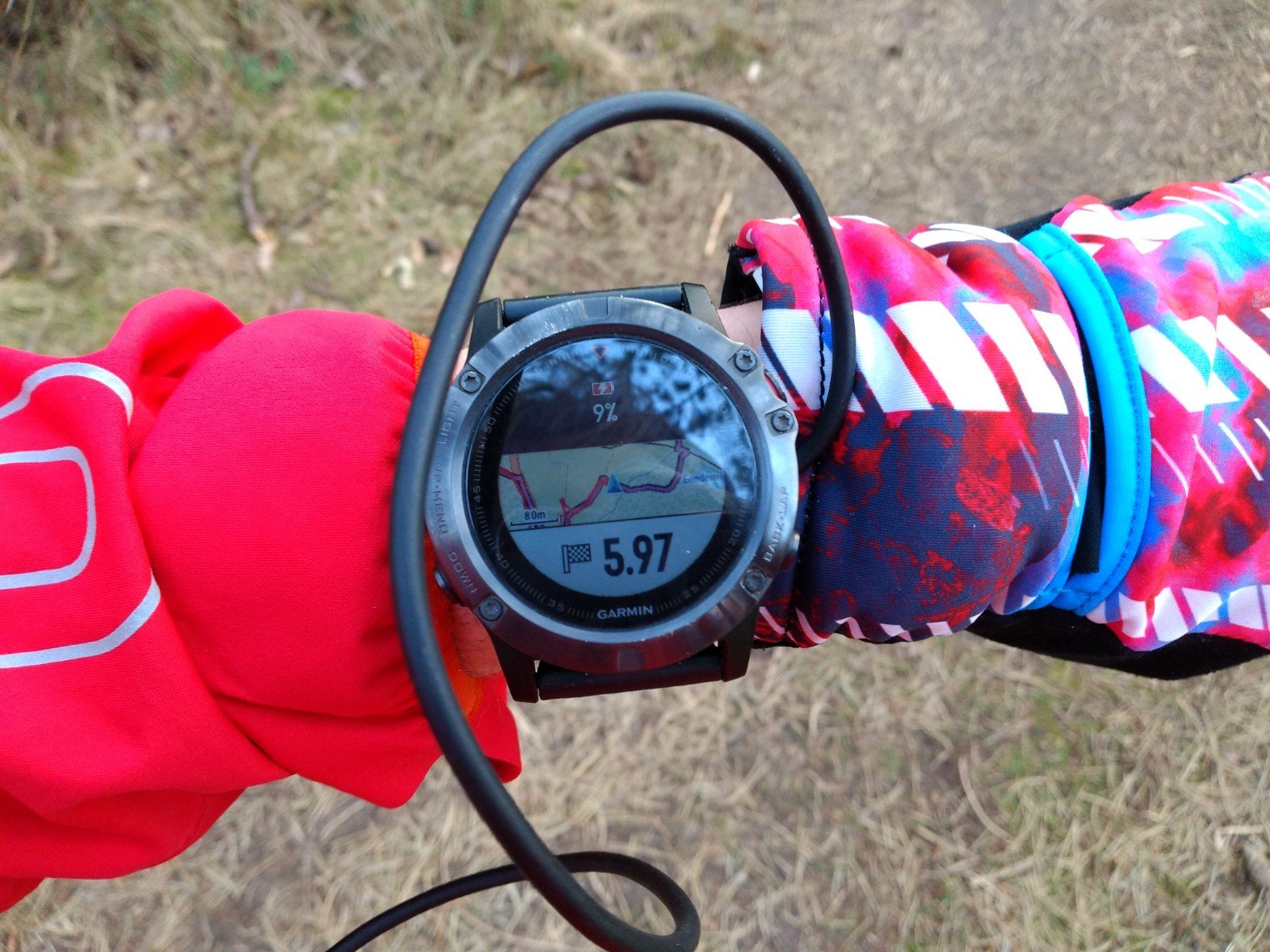
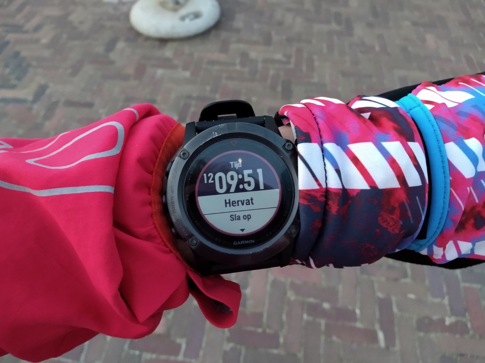
The last few kilometers I saw beautiful landscapes again and again. Because of the photos and again the blood sugars, those kilometers went very slow. So slow that I had to recharge the Fenix on the last stretch, since it indicated a 5 percent battery charge. Fortunately, the thought of fish and chips at the finish motivated me. Half a block away from my apartment, there was a fish and chip shop. Once I arrived there, I appeared to have wasted too much time: I arrived at 19.05 and the shop closed at 19.00. There was still someone present who opened the door, but he told me that the fryer had already been cleaned.
Somewhat disappointed I went to the pre-packed bacon pancakes at home. Ready within a minute. They tasted good too after about 72 kilometers. Indeed, about 5 kilometers more than planned. Partly because the paths were much more winding than on the map, partly because I lost my way, partly because I forgot my phone and of course because of the photos.
I felt tired but satisfied. What bothered me a bit was the low speed. I didn't expect to be very fast, but instead of 10-10.5 hours, I managed to finish over 12 hours. This is partly due to the lack of training since January, but also because of eating problems. There were quite a few times when I actually ate a little too late, which made me weak and in need of more food. In total, I ingested during this trail:
- 3 doses of Generation Ucan (one just before departure)
- 1.5 doses of Isostar orange
- 3 bags of gold bears
- 3 Snickers
- 4 gels, including the unforgettable Torq Apple crumble